
Perhentian Islands
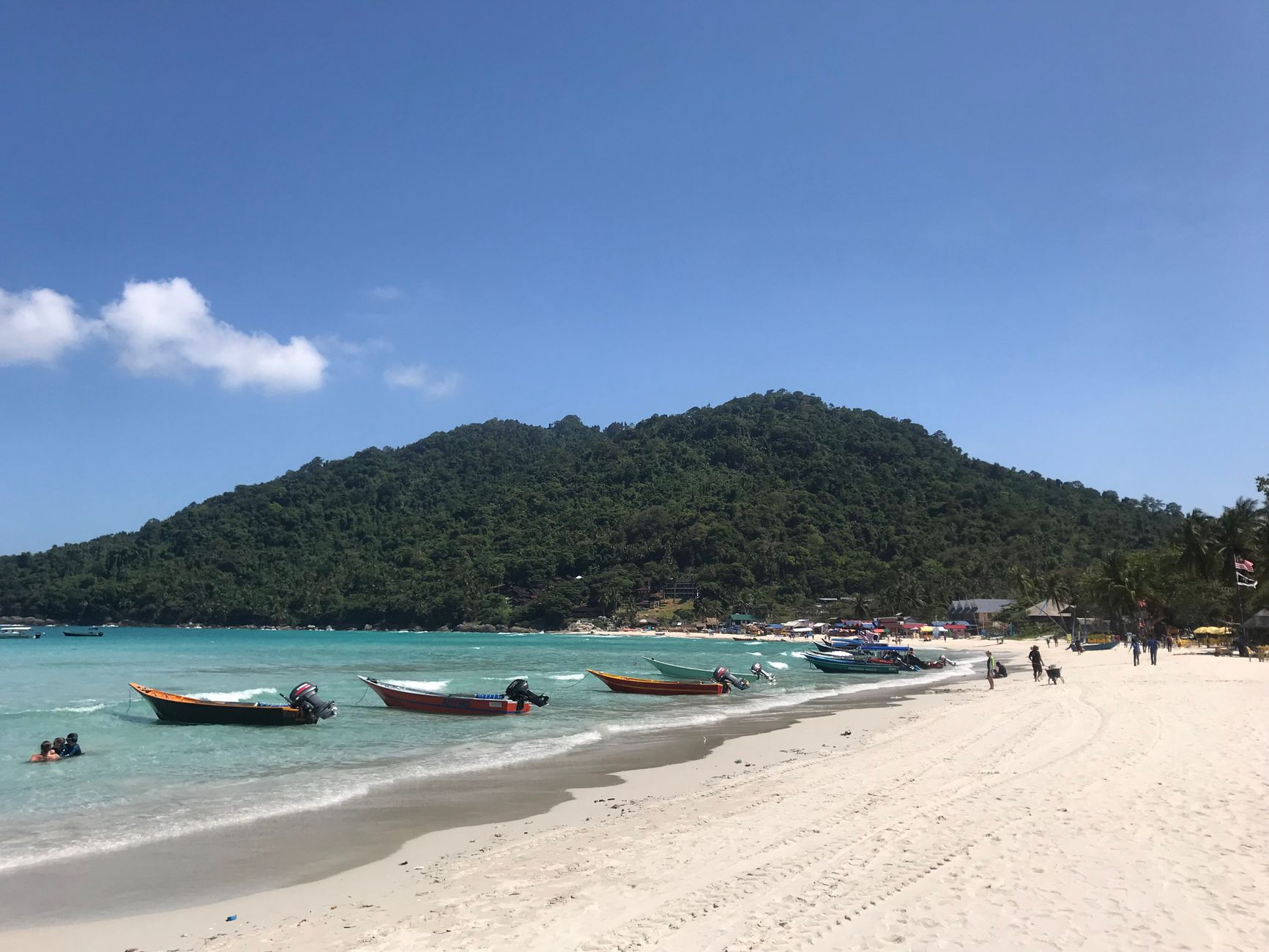
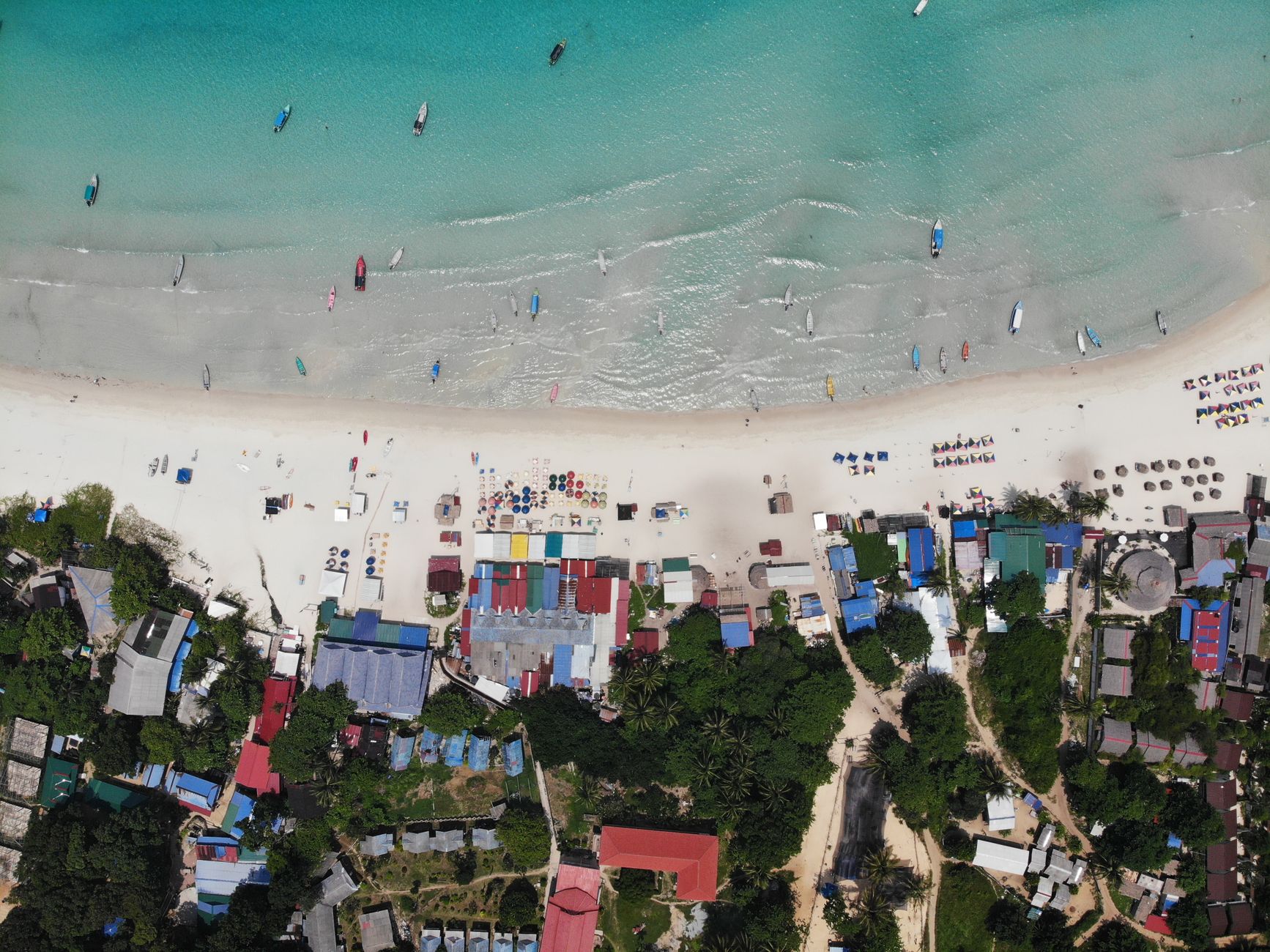
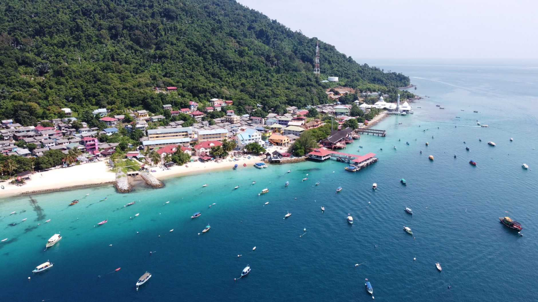
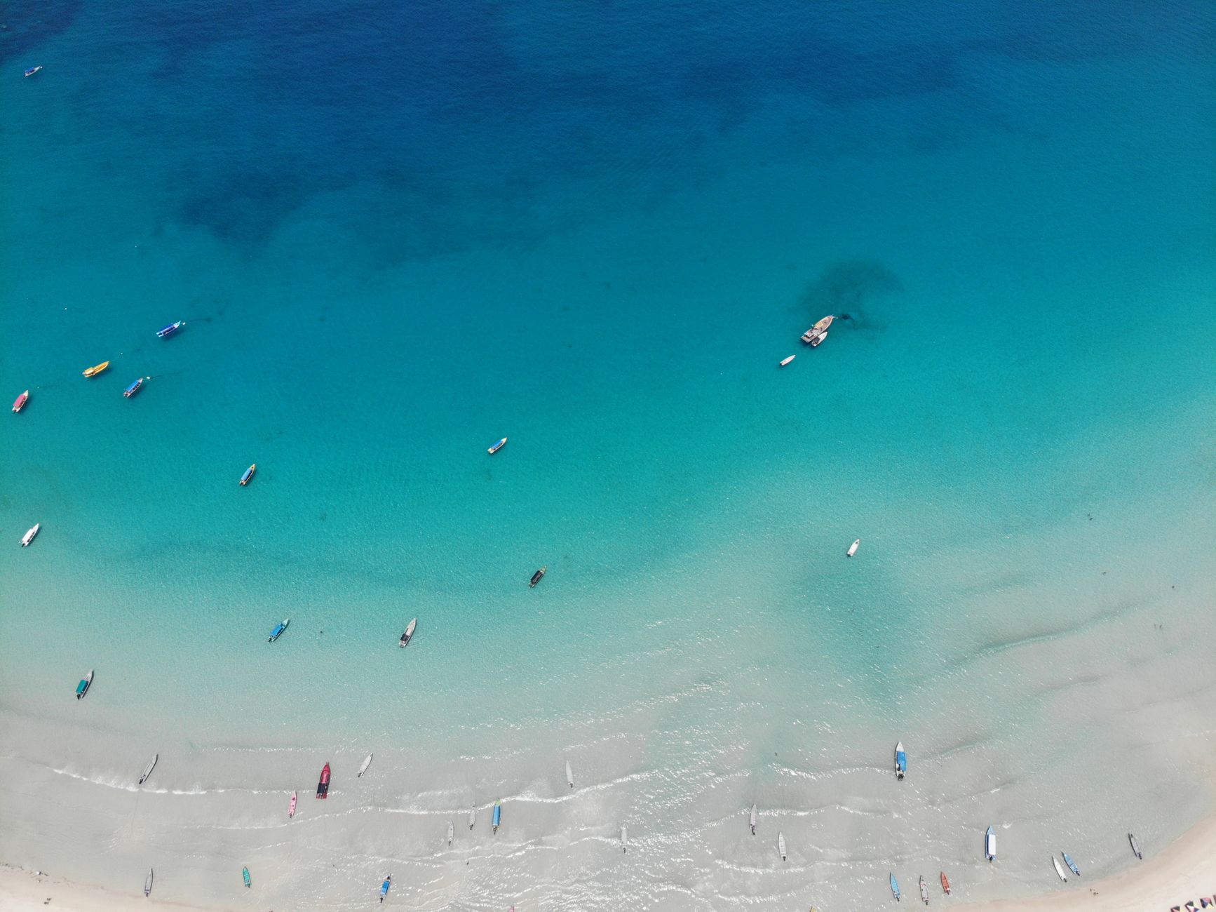
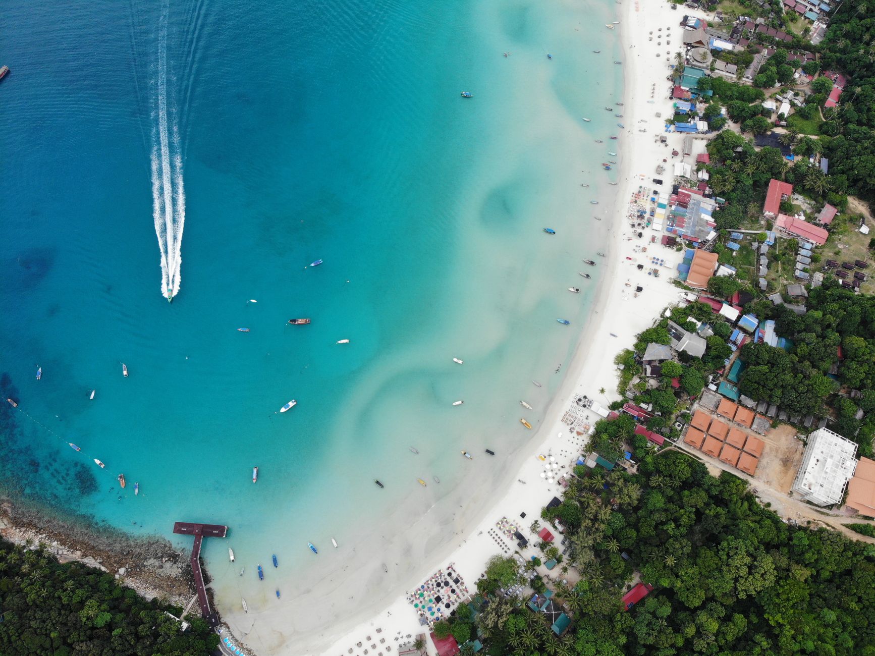
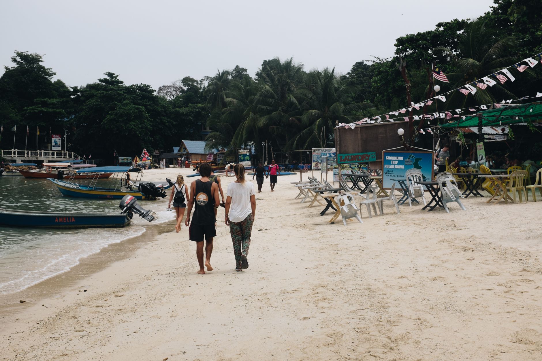
The name says it all: Perhentian means "stopping point" in Malay, and these two small islands off Terengganu's coast have been pulling people off their routes for centuries. There are no paved roads here, no ATMs, no airstrip — just jungle trails connecting one white-sand cove to the next, and water clear enough to watch a black-tipped reef shark pass beneath your snorkel.
Perhentian Besar is the quieter, slightly larger island; Perhentian Kecil has the only fishing village, where daily life carries on regardless of tourist season. Both are ringed by a marine park gazetted in 1994, which is why the underwater world — turtles, cuttlefish, blue-spotted rays, a 90-metre cargo wreck — has stayed worth seeing.
💛 What travellers fall for
People who come back tend to move slower the second time. They skip the boat-taxi chaos of peak August and arrive in late April instead, when dive sites are uncrowded and resorts still have availability. The Vietnamese Wreck, technically an American landing craft from the 1970s, is the one they mention — seahorses, blue-ring octopi, coral doing the slow work of reclamation.
How Perhentian Islands came to be
Traders moving along the South China Sea coast used these islands as a waystation for generations — the English colonial maps called them "The Station Islands," a literal translation of the Malay name. For most of that history the islands were home to small fishing communities and not much else.
The 1970s brought an unexpected chapter: Vietnamese refugees fleeing by sea landed here during the wider exodus that followed the end of the Vietnam War. The islands were gazetted as a marine park in 1994, drawing a line around the reef ecosystem that had, until then, been subject to fishing. Tourism gradually replaced fishing as the main economic activity, though the single village on Kecil's south side keeps the older rhythm intact.
Who and what shaped it
Landmark buildings
See Perhentian Islands in motion
Plan your visit
On the map
When to go
Temperatures sit around 30°C year-round, ticking up slightly toward May. The northeast monsoon arrives in October and closes the islands to tourists from November through February — seas are rough, most resorts shut entirely; April through September is the reliable window, with the driest, calmest conditions running through mid-summer.
Right now
Background & history adapted from Wikipedia (CC BY-SA) · specs from Wikidata (CC0) · weather from Open-Meteo · map data © OpenStreetMap contributors · photos from Wikimedia Commons / Unsplash with per-image credit. No third-party reviews or social posts reproduced.