
Peneda-Gerês National Park
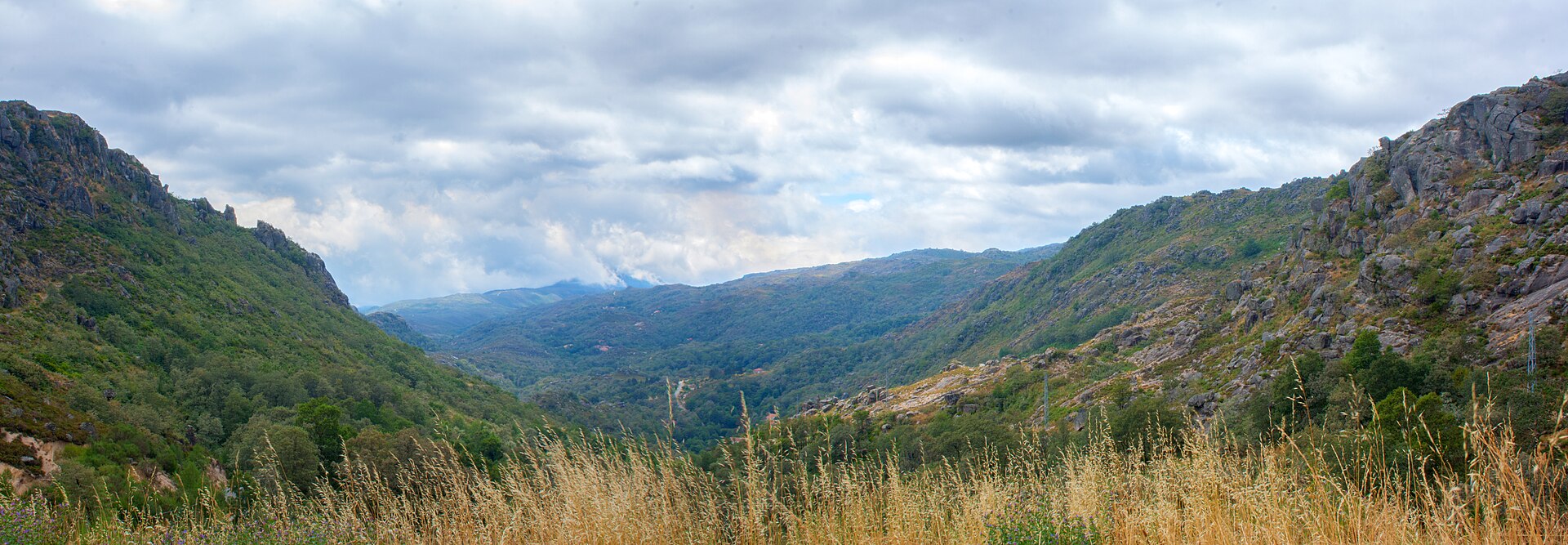
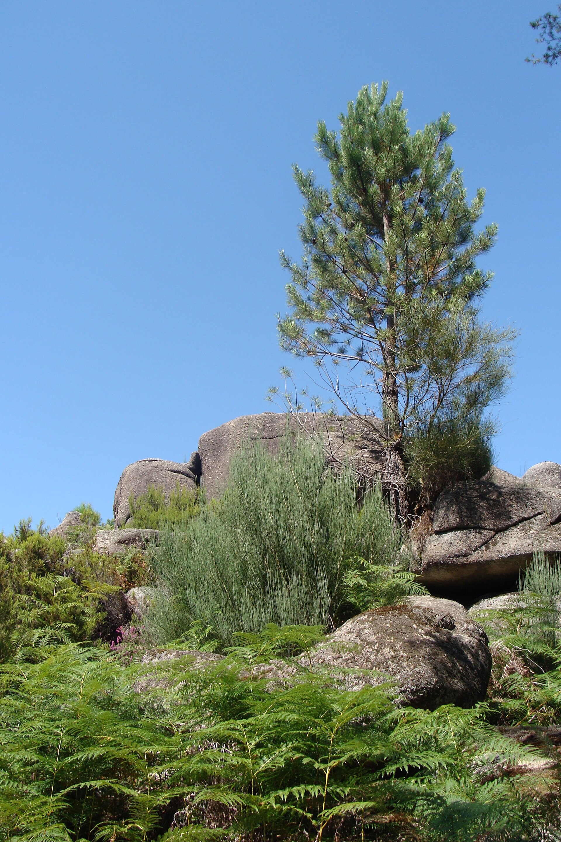
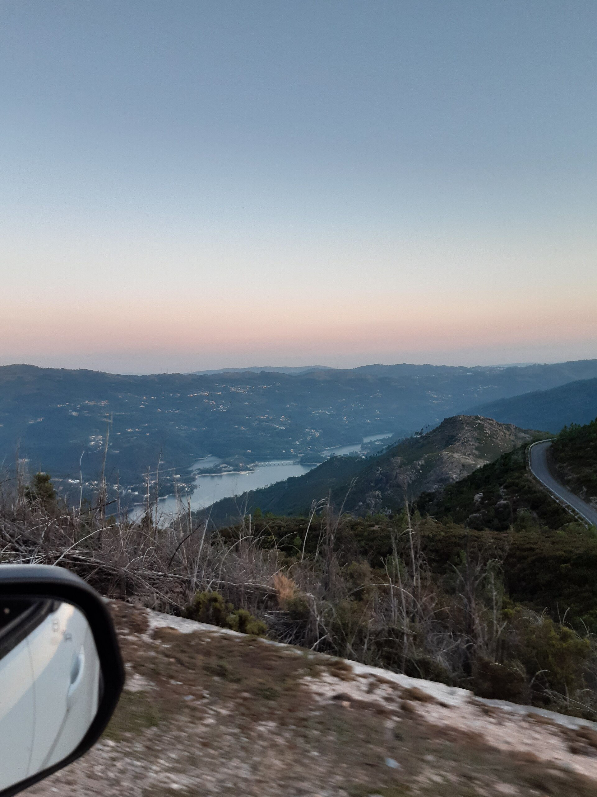
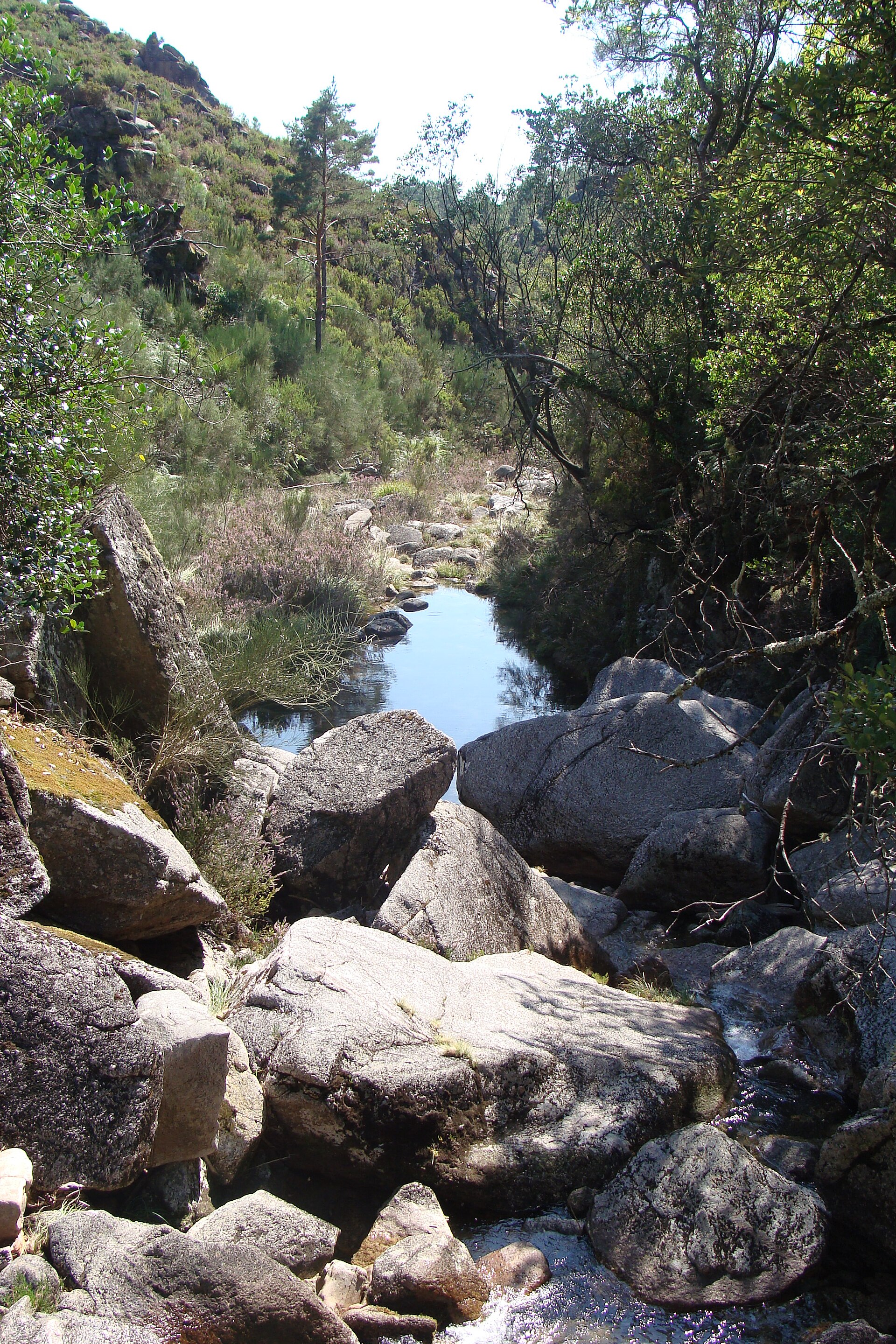
Portugal's only national park announces itself in granite: high ridges, oak forest, and the kind of silence that has weight. Peneda-Gerês stretches across the northwest corner of the country, about 100 kilometres from Porto, and holds more than 100 small villages where the stone walls and farming rhythms have barely shifted since the 12th century. Around 9,000 people still live inside the park boundaries.
The water here is serious — up to 3,500 millimetres a year on the summits, which feeds the rivers, the waterfalls, and the emerald pools. The Roman road Geira still cuts through the forest, its milestones intact in places, connecting what was once Bracara Augusta to Astorga in Spain. You walk it and the centuries compress.
💛 What travellers fall for
People who come back tend to mention the same things: arriving at Soajo before the tour buses, when the espigueiros cast long shadows across the granite slabs. Eating lunch at Pólo Norte in Montalegre — cash, midday only, cows outside — and not planning anything for the afternoon. And checking water levels before visiting Vilarinho da Furna, because the submerged village only surfaces in summer.
How Peneda-Gerês National Park came to be
Peneda-Gerês became Portugal's first and largest national park on 8 May 1971, under decree no. 187/71, with a mandate that balanced conservation with tourism, education, and local land use. But the human story here runs far deeper than that decree. The Roman military road Geira was engineered to connect Bracara Augusta — modern Braga — with Astúrica Augusta in what is now Spain, and substantial stretches remain walkable today, including the section between Portela do Homem and Campo de Gerês.
The Monastery of Santa Maria das Júnias in Pitões das Júnias dates to 1147, the same century Portugal was founded as a kingdom. Lindoso Castle was built in the 13th century. The park joined the Natura 2000 network in 1997 and was designated a Special Protection Area for Wild Birds in 1999 — formal recognition of what the landscape had been quietly doing for millennia.
Who and what shaped it
Landmark buildings
See Peneda-Gerês National Park in motion
Plan your visit
On the map
When to go
Spring (April to June) brings wildflowers and temperatures between 15°C and 25°C — the most comfortable window for walking. Summer days are warm and long, though the waterfalls and pools draw crowds in July and August. Autumn turns the oak and pine forests gold. From November through March expect short days, persistent rain, and real cold at altitude.
Right now
Background & history adapted from Wikipedia (CC BY-SA) · specs from Wikidata (CC0) · weather from Open-Meteo · map data © OpenStreetMap contributors · photos from Wikimedia Commons / Unsplash with per-image credit. No third-party reviews or social posts reproduced.