
Pedernales
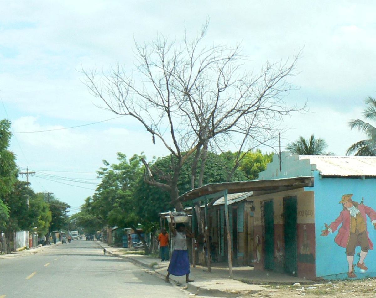
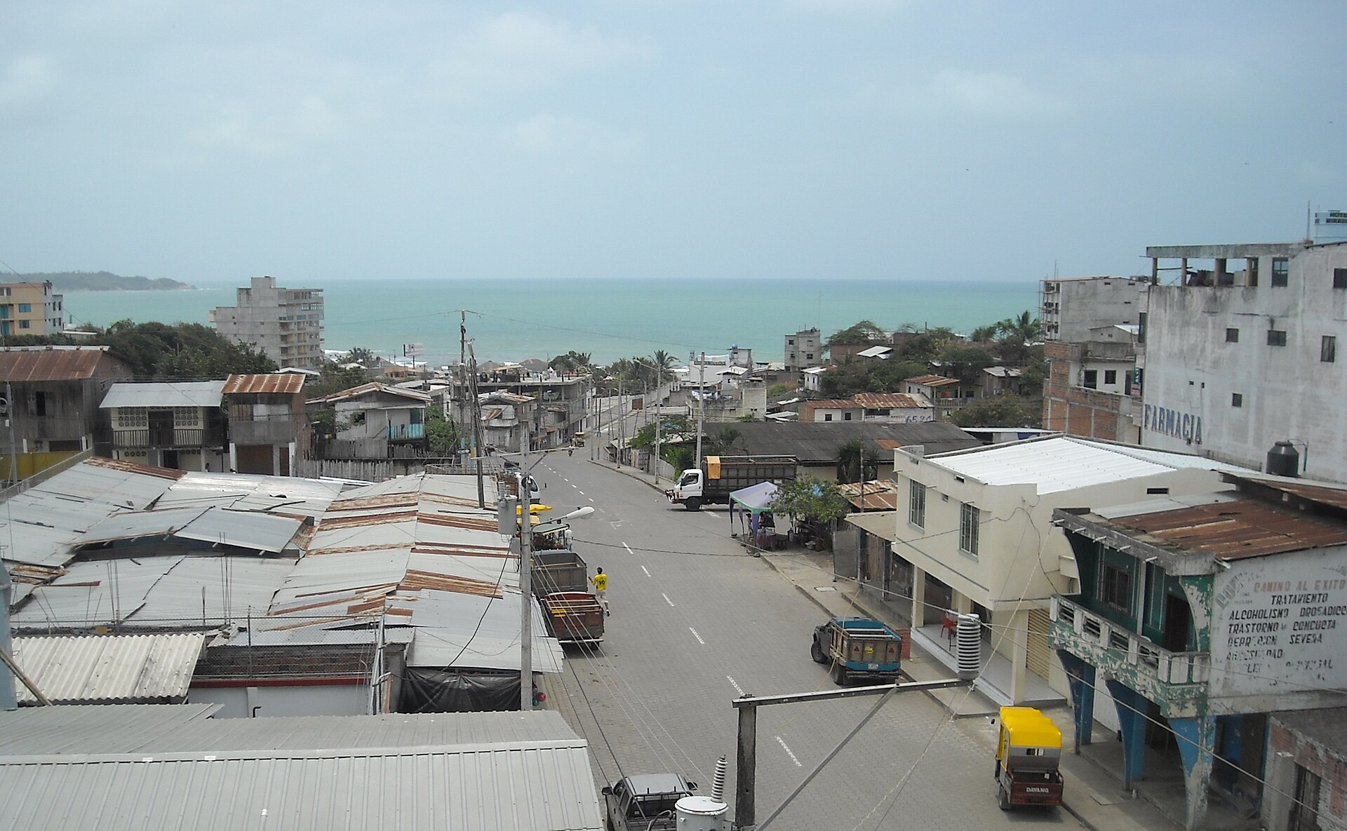
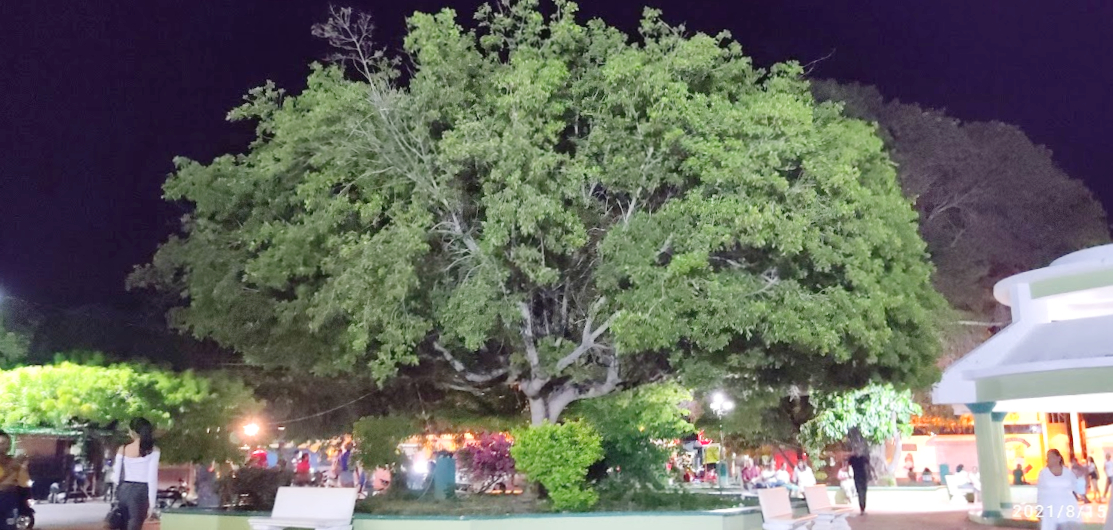
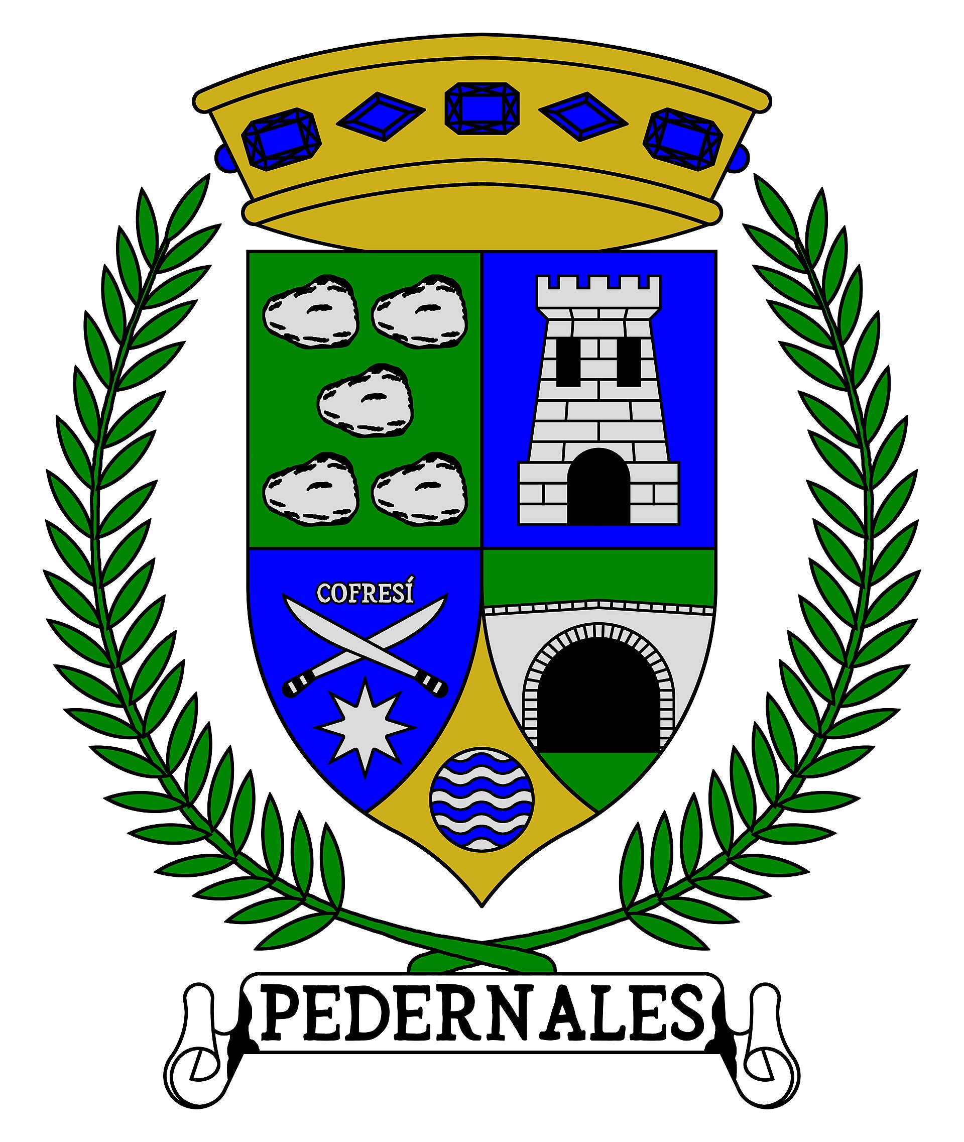
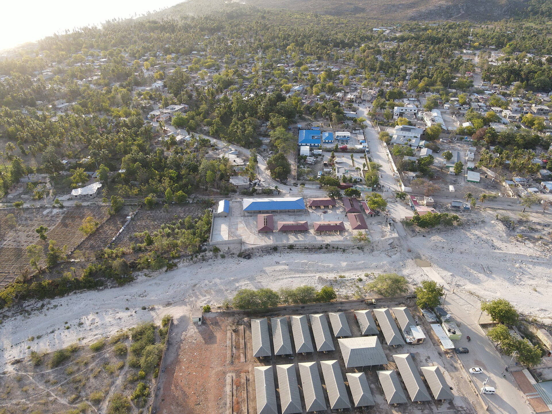
The name comes from pedernal — flint, the yellowish quartz that throws sparks — found in the river that doubles as the border between the Dominican Republic and Haiti. That river, and the town beside it, mark the southwestern edge of the country: a desert fringe of giant cacti and dry scrubland that reads more like Baja California than anything you'd picture when someone says Caribbean.
Pedernales is the least densely populated province in the Dominican Republic, and the landscape makes that feel right. Jaragua National Park covers two-thirds of the province. Lake Enriquillo — the largest natural lake in the Caribbean — spreads across more than 350 km². Bahía de las Águilas stretches along a coastline that sees almost no one. The place rewards patience and a willingness to drive.
How Pedernales came to be
Pedernales was formally founded in 1927 under President Horacio Vásquez, who appointed the writer Sócrates Nolasco as its first administrator. The original settlers came largely from the nearby town of Duvergé, led by a rancher named Genaro Pérez Rocha, who brought the first families west into this arid corner of the country. A military fortress went up in 1934; three years later, 500 men working in ten-person brigades cut the highway connecting Pedernales to Oviedo.
The province didn't exist as its own administrative unit until 1957, when it was split off from Barahona. It has remained remote ever since — a border town where Dominican and Haitian life overlap across the Pedernales River, and where, in 2024, a new cruise ship port opened at Cabo Rojo, the first significant infrastructure change in generations.
Who and what shaped it
People who shaped it
Landmark buildings
See Pedernales in motion
Plan your visit
On the map
When to go
Pedernales sits in a rain shadow and runs hot and dry year-round — average temperatures hover around 27°C (81°F), climbing toward 32°C in July and August. December through April is the most comfortable window; September and October bring the highest chance of tropical weather.
Background & history adapted from Wikipedia (CC BY-SA) · specs from Wikidata (CC0) · weather from Open-Meteo · map data © OpenStreetMap contributors · photos from Wikimedia Commons / Unsplash with per-image credit. No third-party reviews or social posts reproduced.