
Patan (Lalitpur)
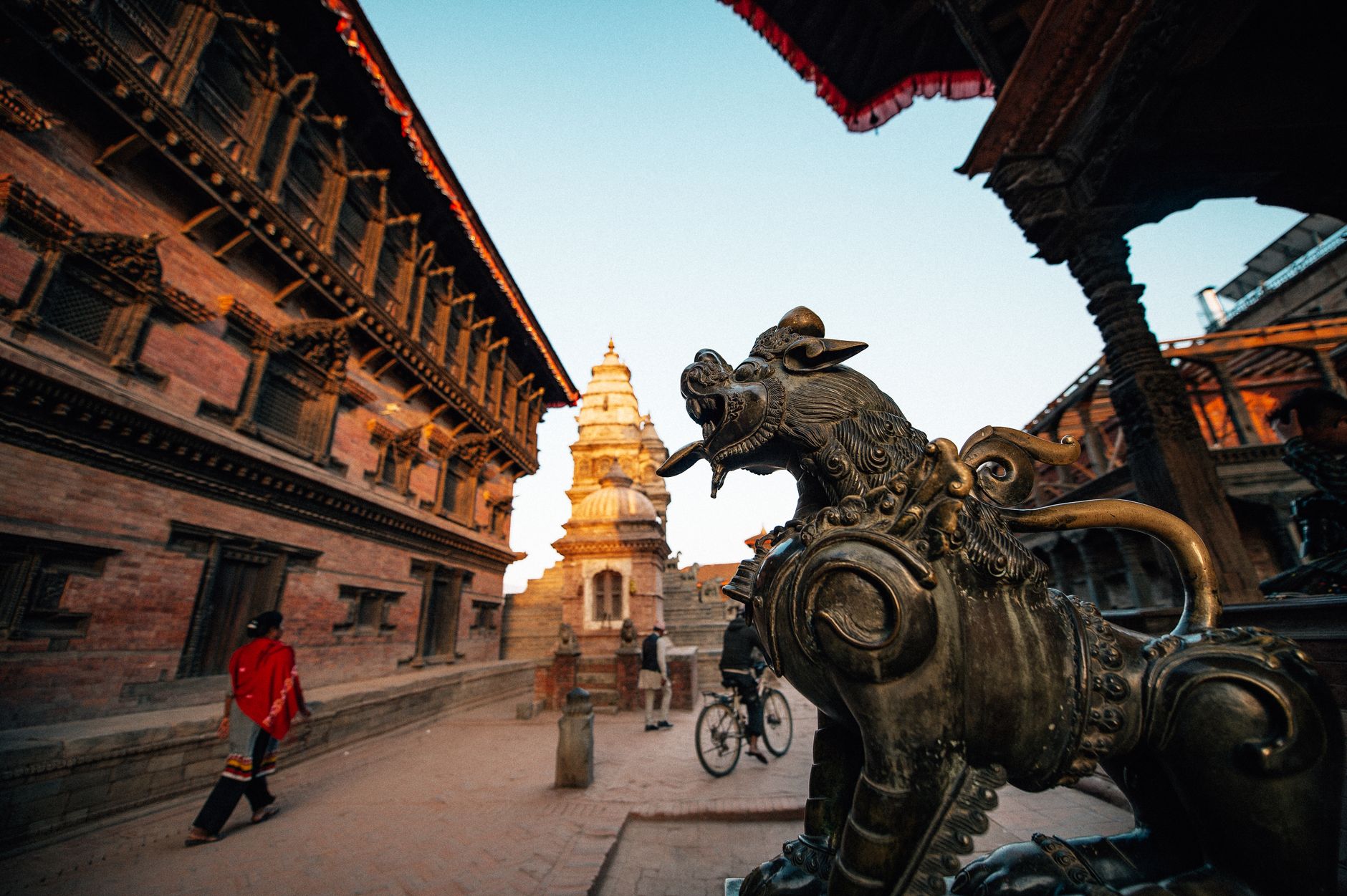
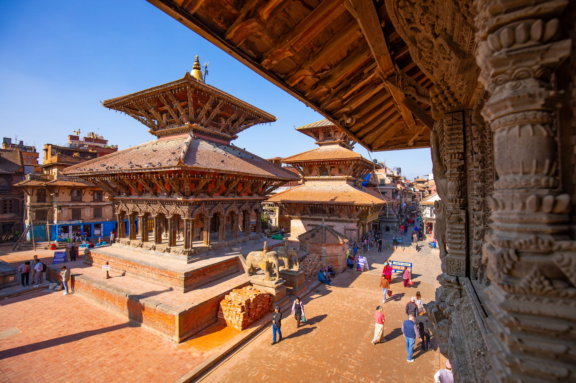
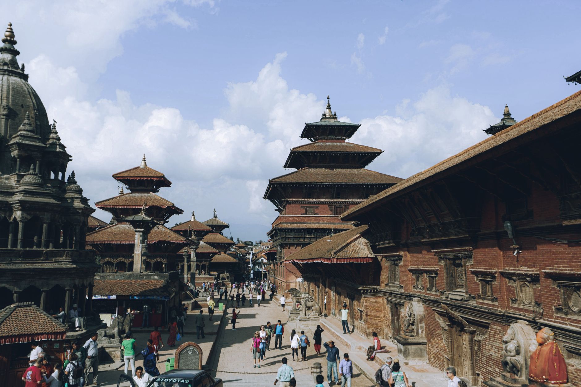
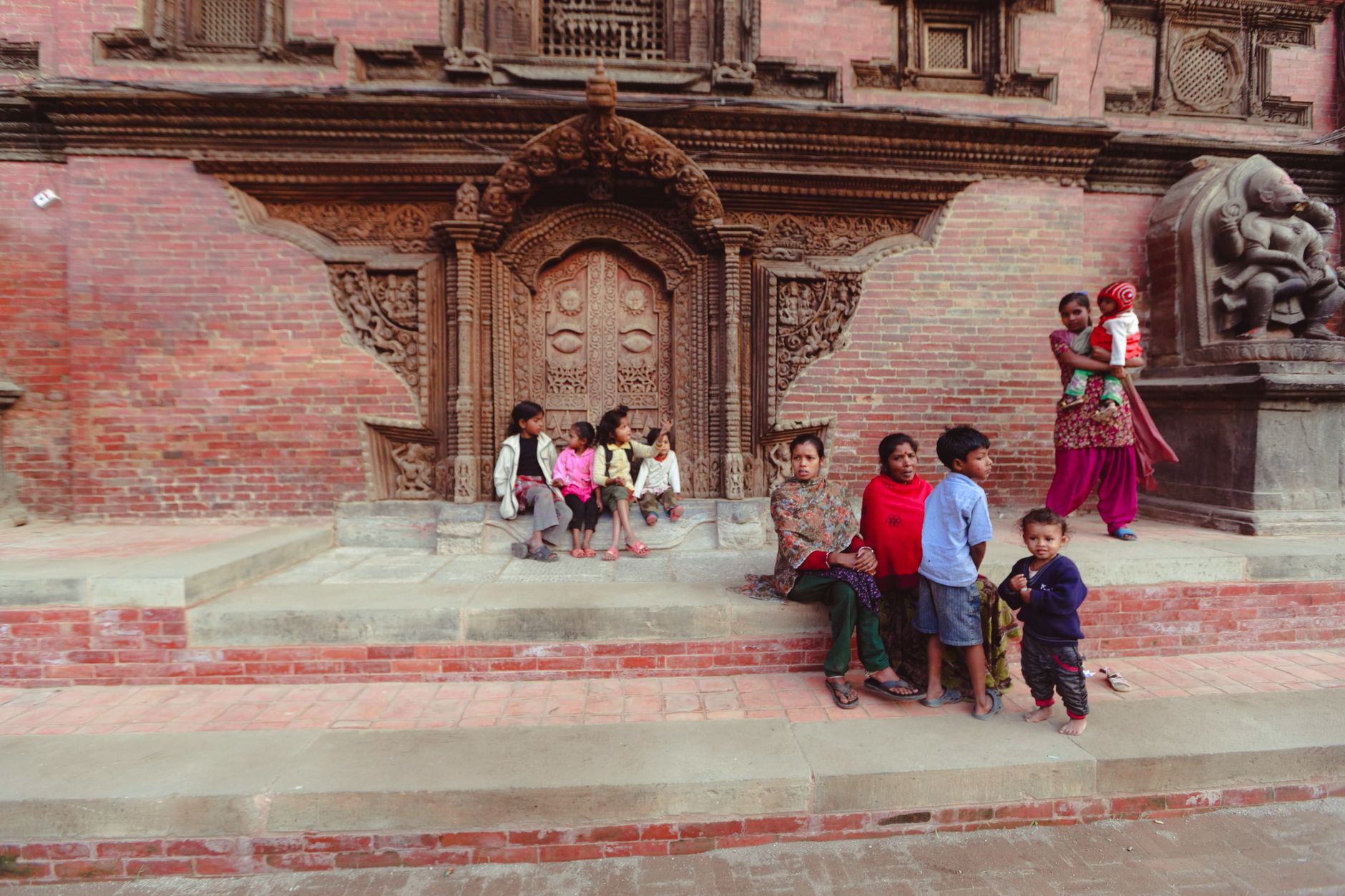
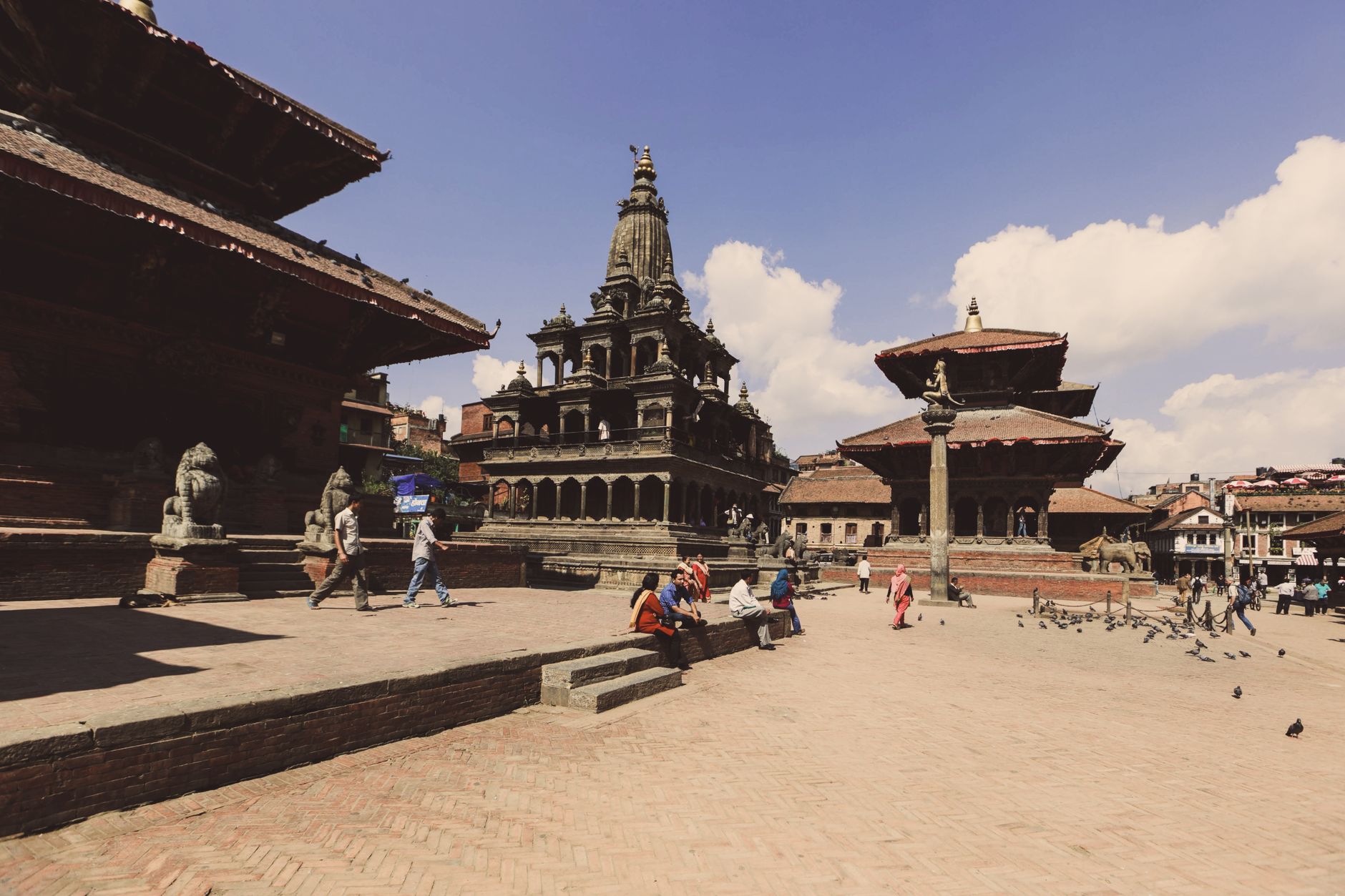
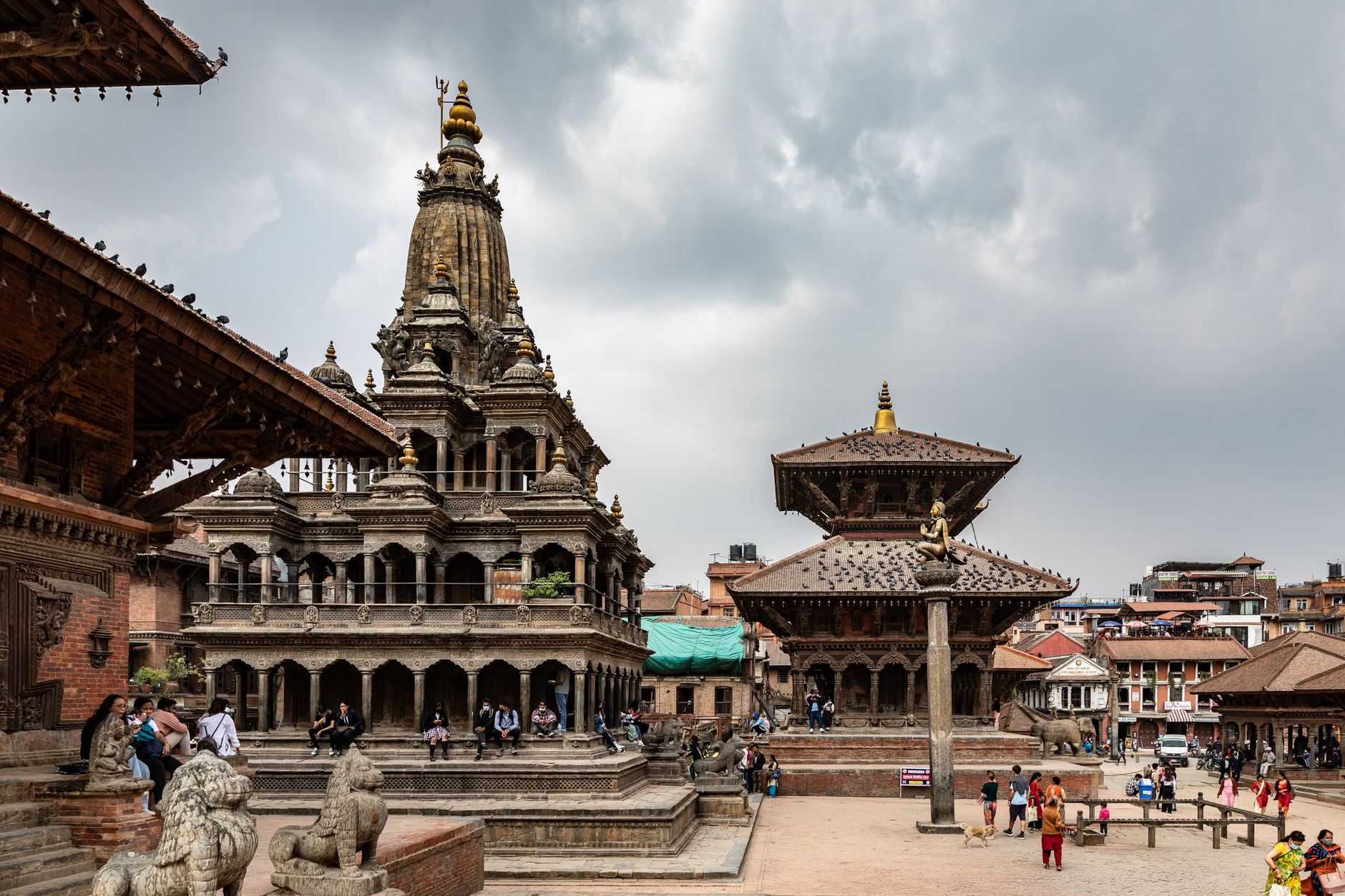
Five kilometres from Kathmandu and a world apart, Patan sits at the southern edge of the valley where the Malla kings spent centuries turning a city into something closer to a sustained work of art. The Durbar Square alone holds 55 major temples and 136 courtyards, their red-brick paving worn smooth by generations of feet.
The city the Newars call Yala has long been Nepal's centre of metalwork and woodcarving, and that tradition still runs through its lanes — workshops where craftspeople cast Buddhist icons sit a few doors down from medieval monasteries still in daily use. Come with time to wander beyond the square.
How Patan (Lalitpur) came to be
The city traces its founding to King Varadeva around 290 CE, though local Newar tradition reaches back further. Its defining era came under the Malla dynasty, whose rulers between the 12th and 18th centuries commissioned the temples, courtyards and monasteries that still define the skyline. King Siddhi Narsingh Malla, who reigned from 1619 to 1661, was particularly prolific — the stone Krishna Mandir (1637), its pillars carved with scenes from the Mahabharata and Ramayana, stands as his most visible legacy.
The oldest structure in the square is Kumbeshwar Temple, a five-storey pagoda dating to 1392, while the four Ashoka Stupas marking the city's corners are attributed to the Indian emperor Ashoka in 250 BCE. Patan was absorbed into a unified Nepal when Prithvi Narayan Shah annexed it in 1768. The 2015 earthquake caused serious damage to the Durbar Square, and restoration work has continued in the years since.
Who and what shaped it
People who shaped it
Landmark buildings
See Patan (Lalitpur) in motion
Plan your visit
On the map
When to go
Patan sits at 1,350 metres, which keeps temperatures moderate year-round — January days hover around 16°C with cold nights near 4°C, while May peaks at roughly 29°C. The monsoon runs from June through September, bringing daily rain but also lush surroundings; October through December offers clear skies and comfortable walking weather.
Right now
Background & history adapted from Wikipedia (CC BY-SA) · specs from Wikidata (CC0) · weather from Open-Meteo · map data © OpenStreetMap contributors · photos from Wikimedia Commons / Unsplash with per-image credit. No third-party reviews or social posts reproduced.