
Paros
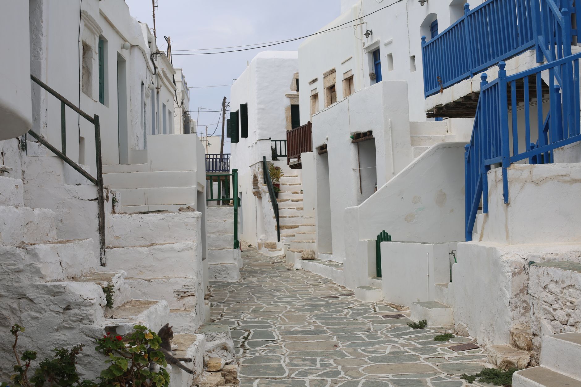
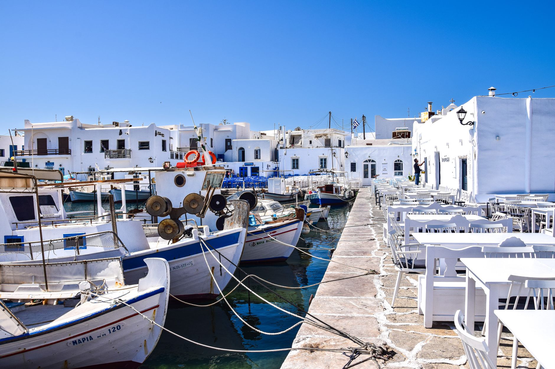
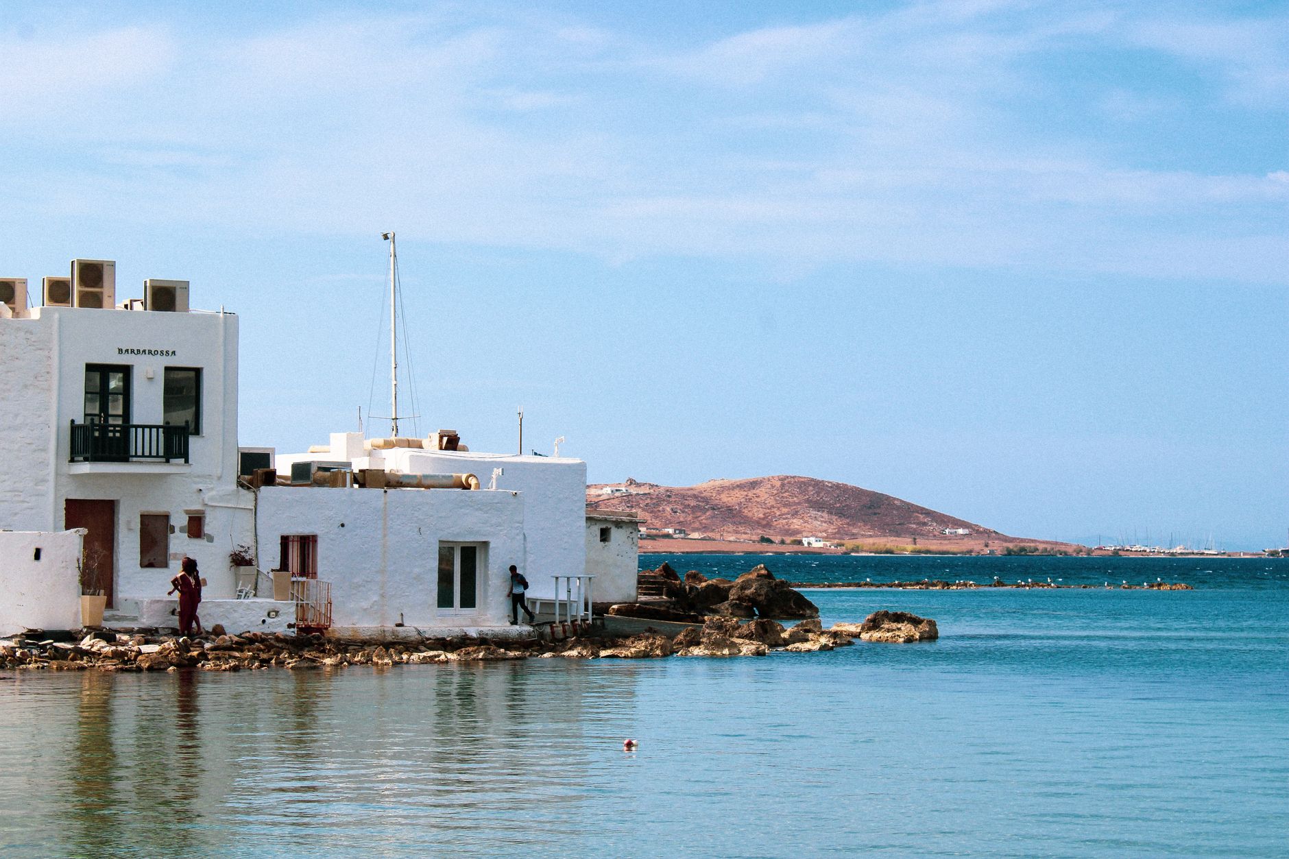
Paros sits near the centre of the Cyclades, and that geography has always mattered. Ancient Parians invented a light, fast vessel called a paron to work these waters, and the island has been a node of movement — trade, conquest, pilgrimage, marble — ever since. The capital, Parikia, faces the ferry port directly, so your first view of the island is whitewashed walls and a 4th-century church rising above the quay.
What distinguishes Paros from its neighbours is a certain liveable quality. The villages have depth — Lefkes sits inland on a ridge, Naoussa curves around a fishing harbour — and the Marathi marble quarries, now quiet since the late 19th century, remind you that this stone once built monuments across the ancient Mediterranean.
How Paros came to be
People have lived on Paros since at least 3200 BC — excavations on the nearby islet of Saliagos confirm it. The island grew prosperous between 700 and 500 BCE as a maritime trading centre, and its semi-transparent marble, quarried at Marathi, travelled across the ancient world. The lyric poet Archilochus, born here, was among the first to write in a personal rather than heroic register. Sculptors Agorakritos and Skopas, both Parian, left their work on temples at Tegea and Ephesus.
Venetian rule arrived in 1207 under Marco Sanudo's Duchy of the Aegean, and the Frankish Castle in Parikia — built in 1260, partly from the stones of ancient sanctuaries — still stands as evidence of that era. Turkish rule followed, until the Greek Revolution of 1821 and formal independence under the Treaty of Constantinople in 1832.
Who and what shaped it
People who shaped it
Landmark buildings
See Paros in motion
Plan your visit
On the map
When to go
Summers are hot, dry and reliably sunny, with the meltemi wind providing some relief through July and August. Spring and early autumn offer gentler temperatures and far fewer crowds; winter is mild but quiet, with some ferry services reduced.
Right now
Background & history adapted from Wikipedia (CC BY-SA) · specs from Wikidata (CC0) · weather from Open-Meteo · map data © OpenStreetMap contributors · photos from Wikimedia Commons / Unsplash with per-image credit. No third-party reviews or social posts reproduced.