
Panama Canal
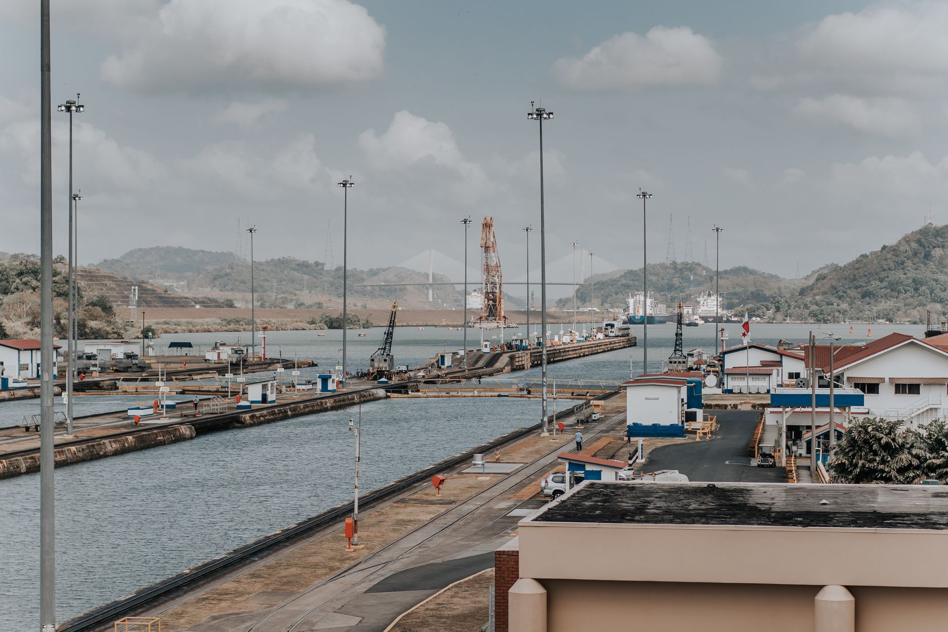
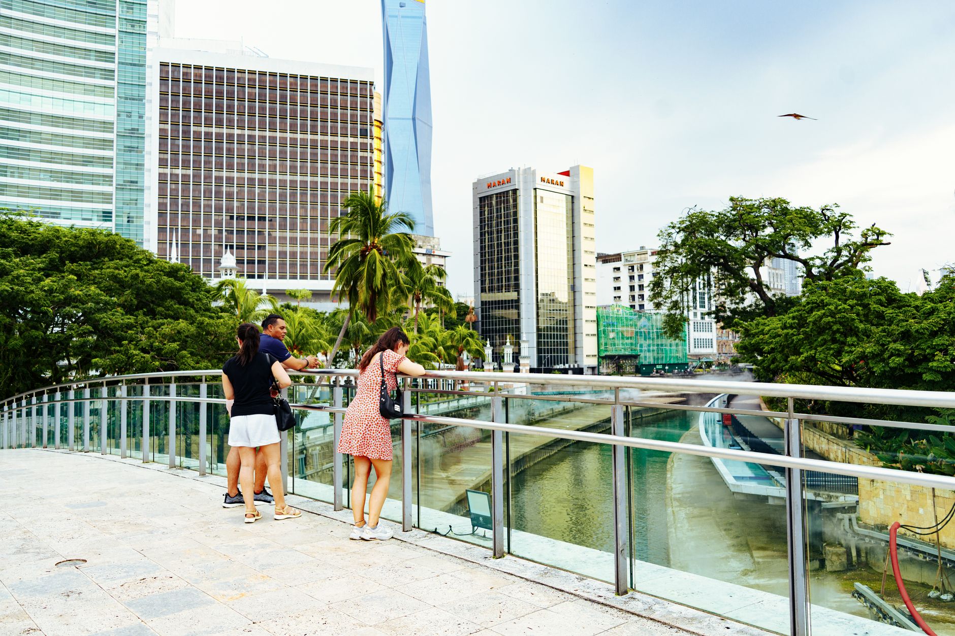
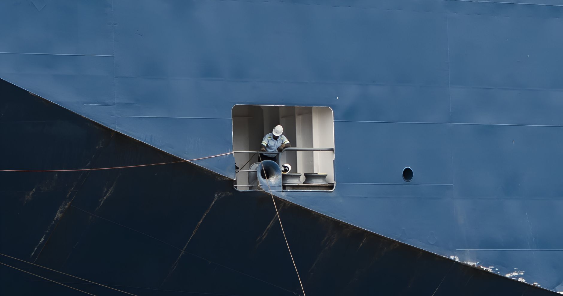
Stand at the Miraflores Visitor Center on the Pacific side and watch a container ship — something the length of three city blocks — slide through a channel with maybe a metre to spare on each side. The lock fills, the gates open, the ship moves on. It happens dozens of times a day, and it doesn't get ordinary.
The Panama Canal is a 80-kilometre cut through the Continental Divide connecting the Atlantic and Pacific oceans, lifting ships 26 metres above sea level via a chain of locks and a vast artificial lake. It handles roughly three percent of global maritime trade. The engineering is a century old and still running.
How Panama Canal came to be
A French syndicate under Ferdinand de Lesseps — the man behind the Suez Canal — broke ground in 1880 intending a sea-level passage. Yellow fever and malaria killed an estimated 22,000 workers; the company went bankrupt in 1889. The United States took over in 1904, spending close to $500 million and, crucially, pivoting to a lock-based design championed by engineer John Frank Stevens. Lt. Col. George Washington Goethals drove the final decade of excavation, dam construction and lock-building to completion.
The canal opened August 15, 1914, with the passage of the cargo ship SS Ancon. The U.S. held control until 1979, when a joint commission took over; Panama assumed full sovereignty at noon on December 31, 1999. A second, wider set of locks — Agua Clara on the Atlantic side — opened in June 2016, allowing the passage of larger post-Panamax vessels.
Who and what shaped it
People who shaped it
Landmark buildings
See Panama Canal in motion
Plan your visit
On the map
When to go
Panama has a dry season roughly December through April — the most comfortable time to visit, with clear skies and lower humidity. The rainy season (May–November) brings daily downpours, usually in the afternoon, but the canal operates year-round and the locks are no less active in the wet months.
Right now
Background & history adapted from Wikipedia (CC BY-SA) · specs from Wikidata (CC0) · weather from Open-Meteo · map data © OpenStreetMap contributors · photos from Wikimedia Commons / Unsplash with per-image credit. No third-party reviews or social posts reproduced.