
Palapye
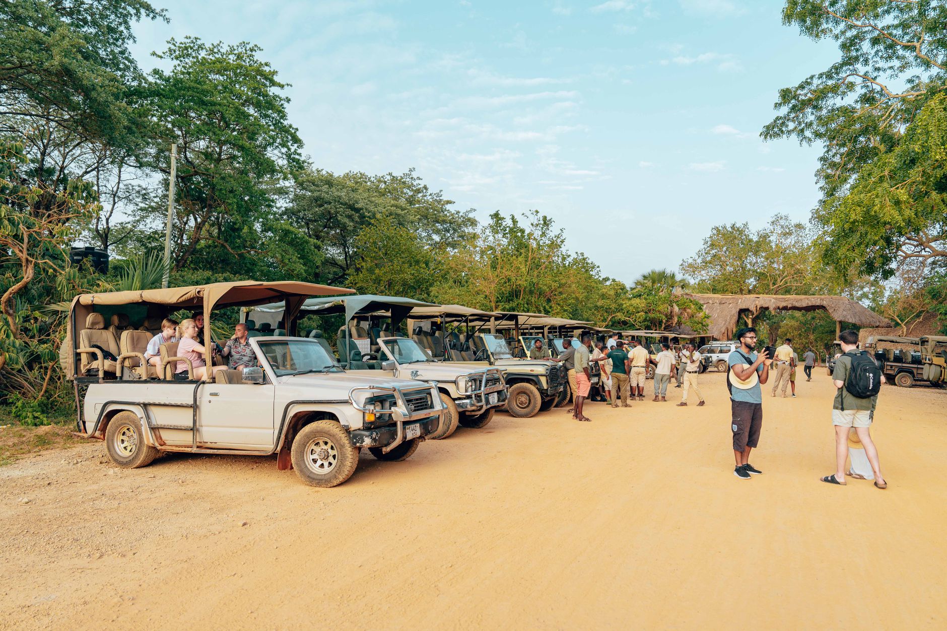
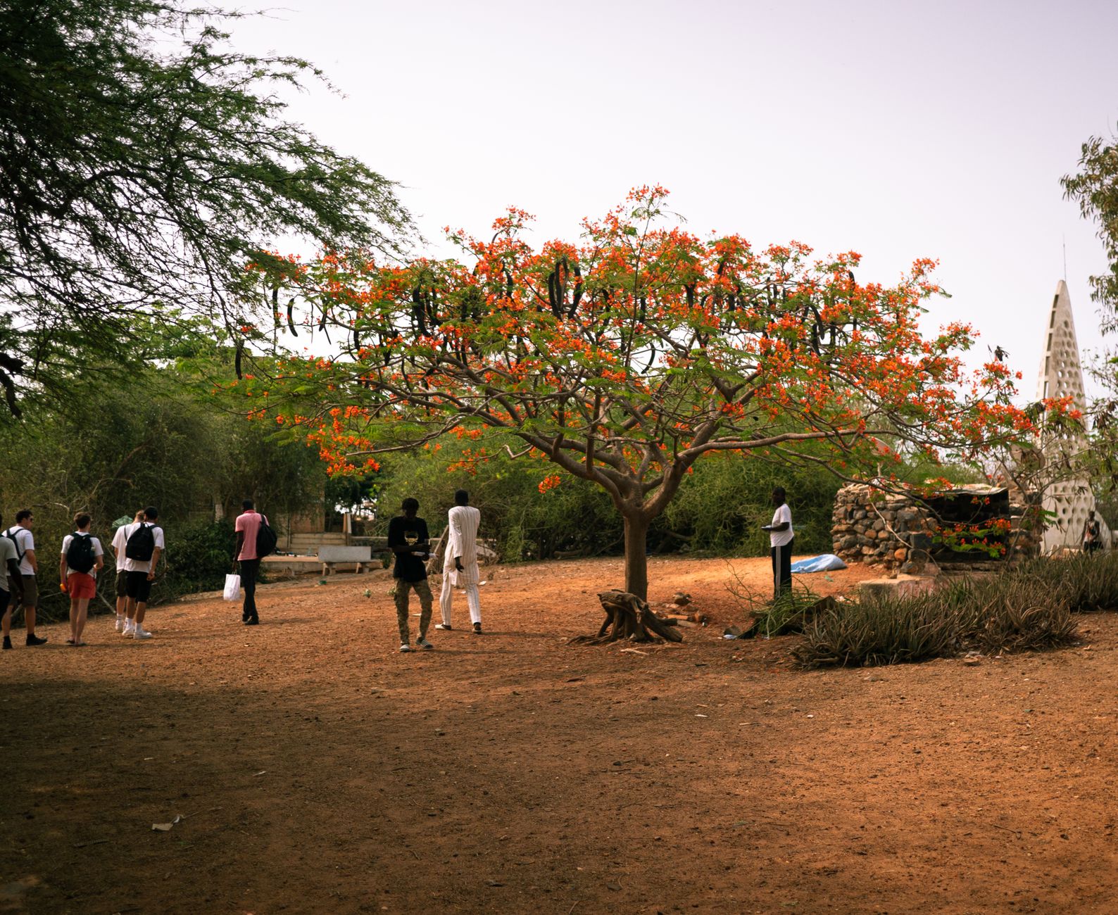
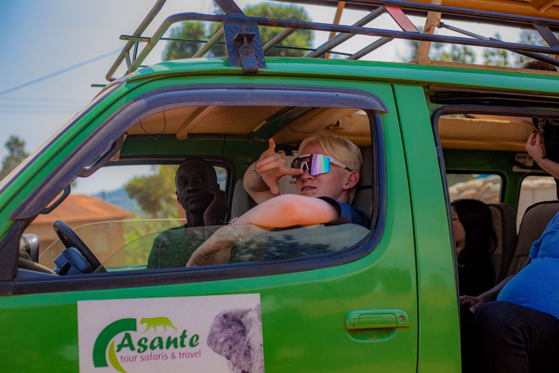
Palapye sits almost exactly halfway between Gaborone and Francistown on the A1 Highway, which means most people pass through without stopping. That's their loss. The town's name traces back to 'Phalatswe' — the place of impalas — and roughly 20 kilometres southeast, the red mudbrick ruins of Old Palapye still stand in the scrub, a Gothic church arch rising incongruously from the dry earth.
Modern Palapye is a working town, shaped by the railway line and the arrival of BIUST, Botswana's university of science and technology. It grows steadily — 52,000 people at the last count — and carries the particular energy of a place still figuring out what it wants to become.
💛 What travellers fall for
People who come back tend to make time for Old Palapye before the midday heat sets in. The ruin walk is short but the light on the red stone at around eight in the morning is worth the early start. The railway station is also worth a look — trains are infrequent, but the infrastructure has a quiet colonial-era weight to it.
Deals in Palapye
Book directly at the provider


How Palapye came to be
In 1889, Kgosi Khama III established Old Palapye as the capital of the Bamangwato people. Within five years, the London Missionary Society had completed a Gothic church there, built from locally quarried red mudbrick — a striking structure for a settlement in the semi-arid east of what is now Botswana. Khama III decreed the capital abandoned after thirteen years, and the Bamangwato relocated to Serowe.
What remained at Old Palapye — the church ruins, stone walls, middens, a prison, a market, and graves of both Europeans and Batswana — was gazetted as a National Monument in 1938. Modern Palapye, the town on the highway, grew separately around the railway line and has been accelerating ever since.
Who and what shaped it
Landmark buildings
See Palapye in motion
Plan your visit
On the map
When to go
Winters (June to August) are mild, dry, and comfortable for walking — daytime temperatures sit around 24°C and nights can turn sharp. Summers run hot, with October pushing 33°C on average and occasional spikes toward 41°C; the saving grace is that thunderstorms roll through regularly from December to February.
Right now
Background & history adapted from Wikipedia (CC BY-SA) · specs from Wikidata (CC0) · weather from Open-Meteo · map data © OpenStreetMap contributors · photos from Wikimedia Commons / Unsplash with per-image credit. No third-party reviews or social posts reproduced.