
Pai
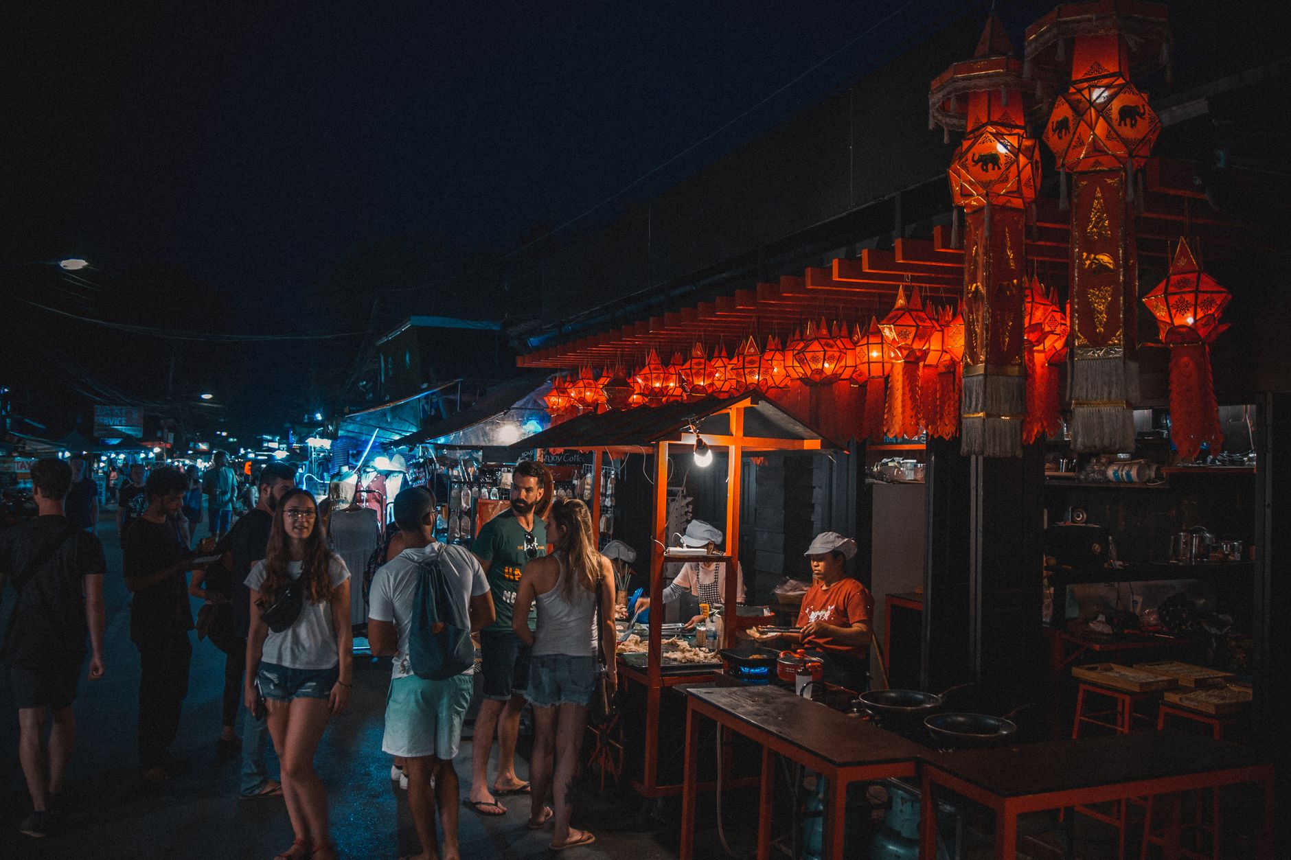
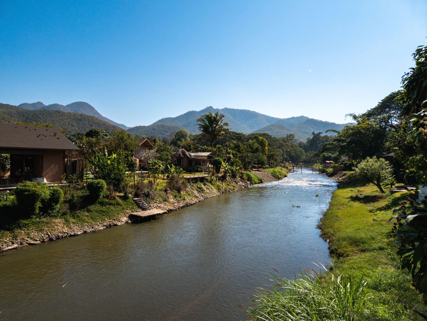
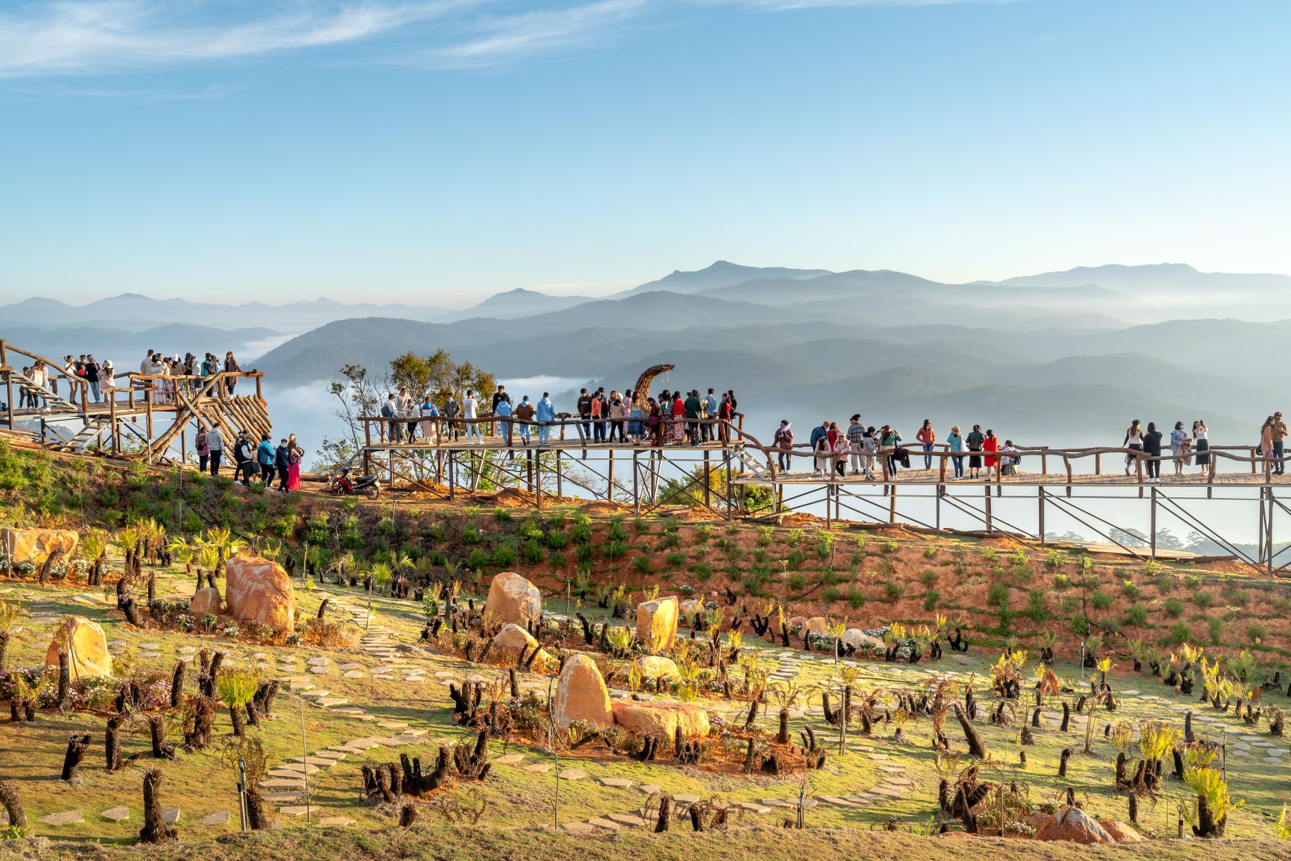
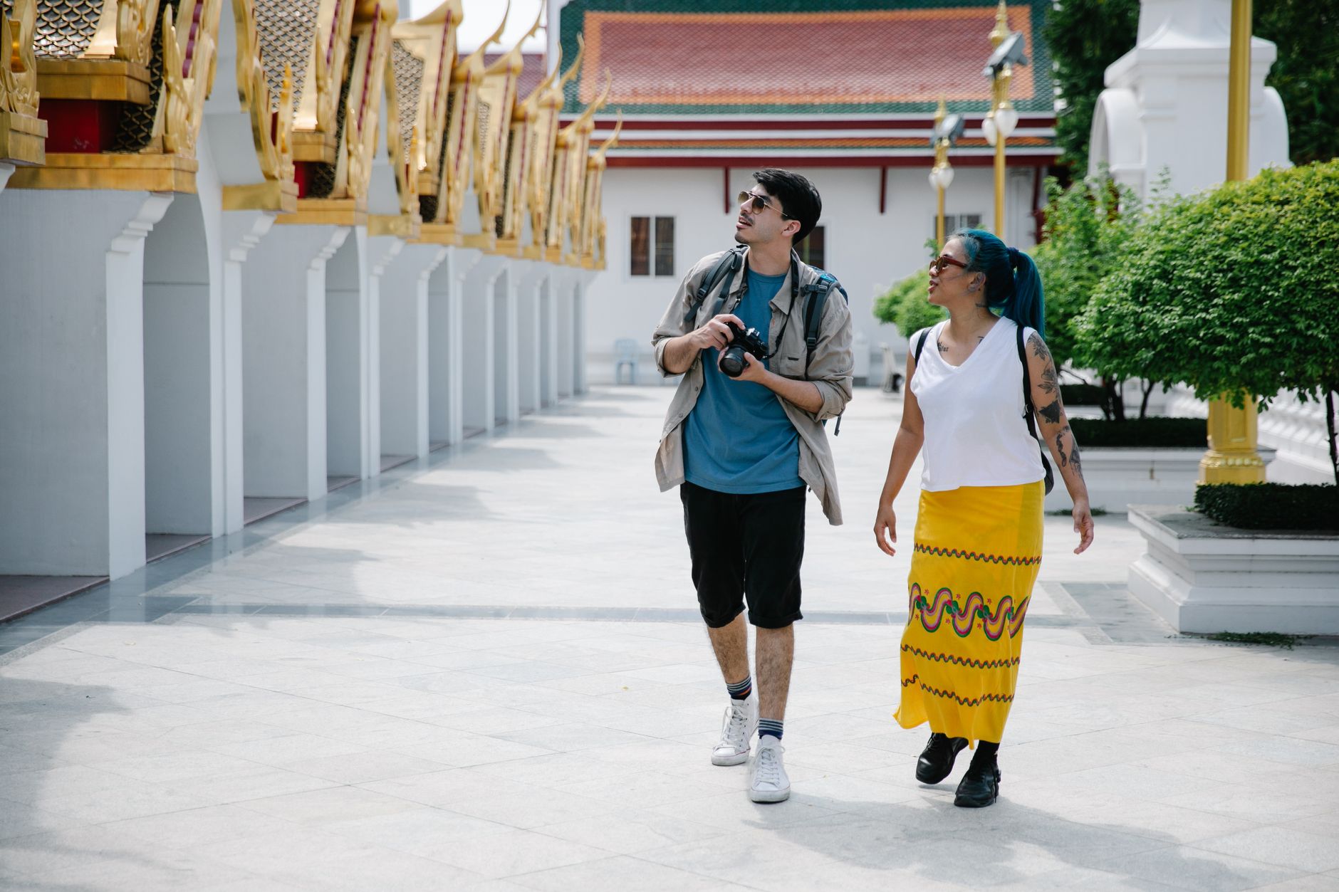
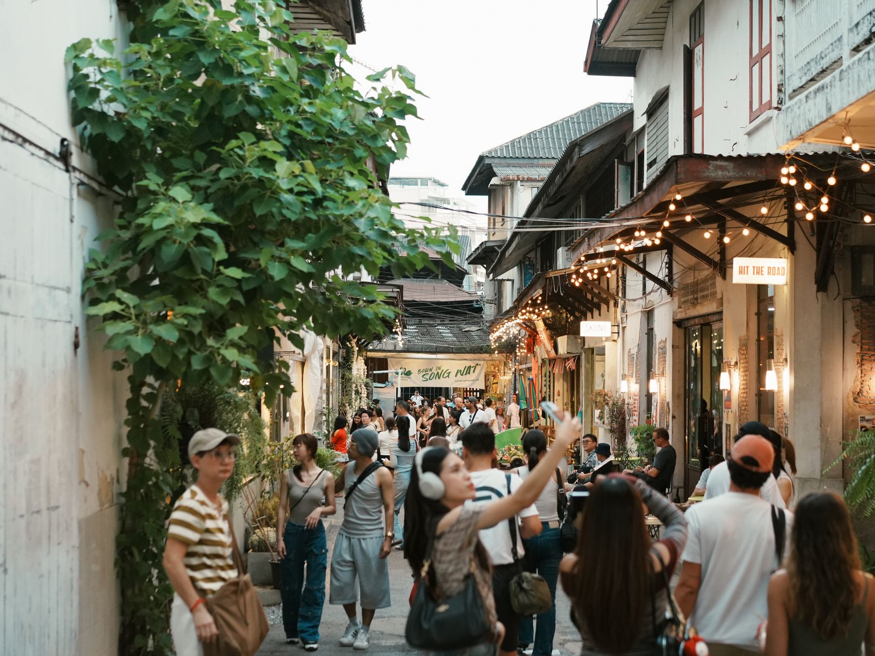
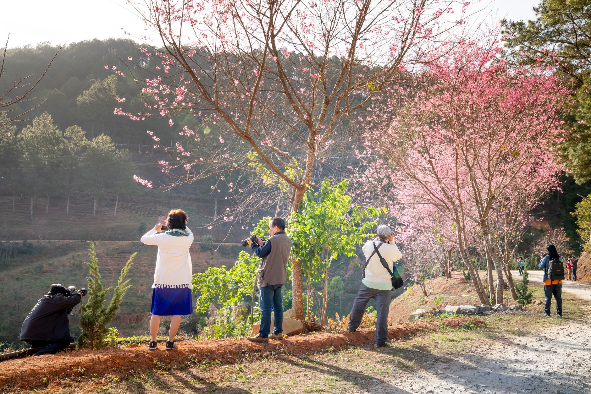
The road from Chiang Mai to Pai winds through 762 curves — locals count them — before dropping you into a valley ringed by forested hills in Mae Hong Son Province. The town itself is small enough to walk end-to-end in ten minutes, which is partly the point. A night market sets up each evening along Chaisongkran Street, scooters outnumber cars, and the pace of the place has a way of stretching days out.
Pai draws a mix of Thai weekenders, long-term backpackers, and people who arrive for three days and stay three weeks. The surrounding valley holds hot springs, waterfalls, a WWII bridge, and a Yunnan-style Chinese village founded by Kuomintang soldiers — each one a short ride from the center.
💛 What travellers fall for
People who return tend to skip the night market food and head instead to the Wednesday market south of the river, where the produce and prepared dishes skew local. They also tend to arrive before high season: November looks calm on a calendar but the valley can run short of petrol and water by December. Sunrise from Wat Phra That Mae Yen rewards the early alarm.
How Pai came to be
The Pai valley has been inhabited for more than five thousand years, but its recorded history begins in 1251 CE with Ban Wiang Nuea, a Shan settlement three kilometers north of the modern town. Shan and Lanna powers contested the area for centuries; by 1481, Lanna troops had pushed the Shan back into Burmese territory, and the settlement that became today's Pai took shape to the south.
The 16th century brought King Naresuan, who used Pai as a staging ground during campaigns against Burma and is associated with the founding of Wat Nam Hoo, where the ashes of his sister Princess Suphan Kanlaya are enshrined. In 1943, Japanese forces improved the road connecting Chiang Mai to Pai for military supply lines into Myanmar. After the Chinese Civil War, Kuomintang soldiers settled here in the early 1960s — their descendants still live in the village of Santichon, five kilometers northwest of town.
Who and what shaped it
People who shaped it
Landmark buildings
See Pai in motion
Plan your visit
On the map
When to go
The dry season from November to March brings cool mornings, clear skies, and the valley at its most photogenic. From May through October the southwest monsoon moves in: mornings are usually clear, but expect heavy rain by afternoon, with September averaging 250 mm — the wettest month and not the easiest time to be on a scooter.
Right now
Background & history adapted from Wikipedia (CC BY-SA) · specs from Wikidata (CC0) · weather from Open-Meteo · map data © OpenStreetMap contributors · photos from Wikimedia Commons / Unsplash with per-image credit. No third-party reviews or social posts reproduced.