
Pacaya Volcano
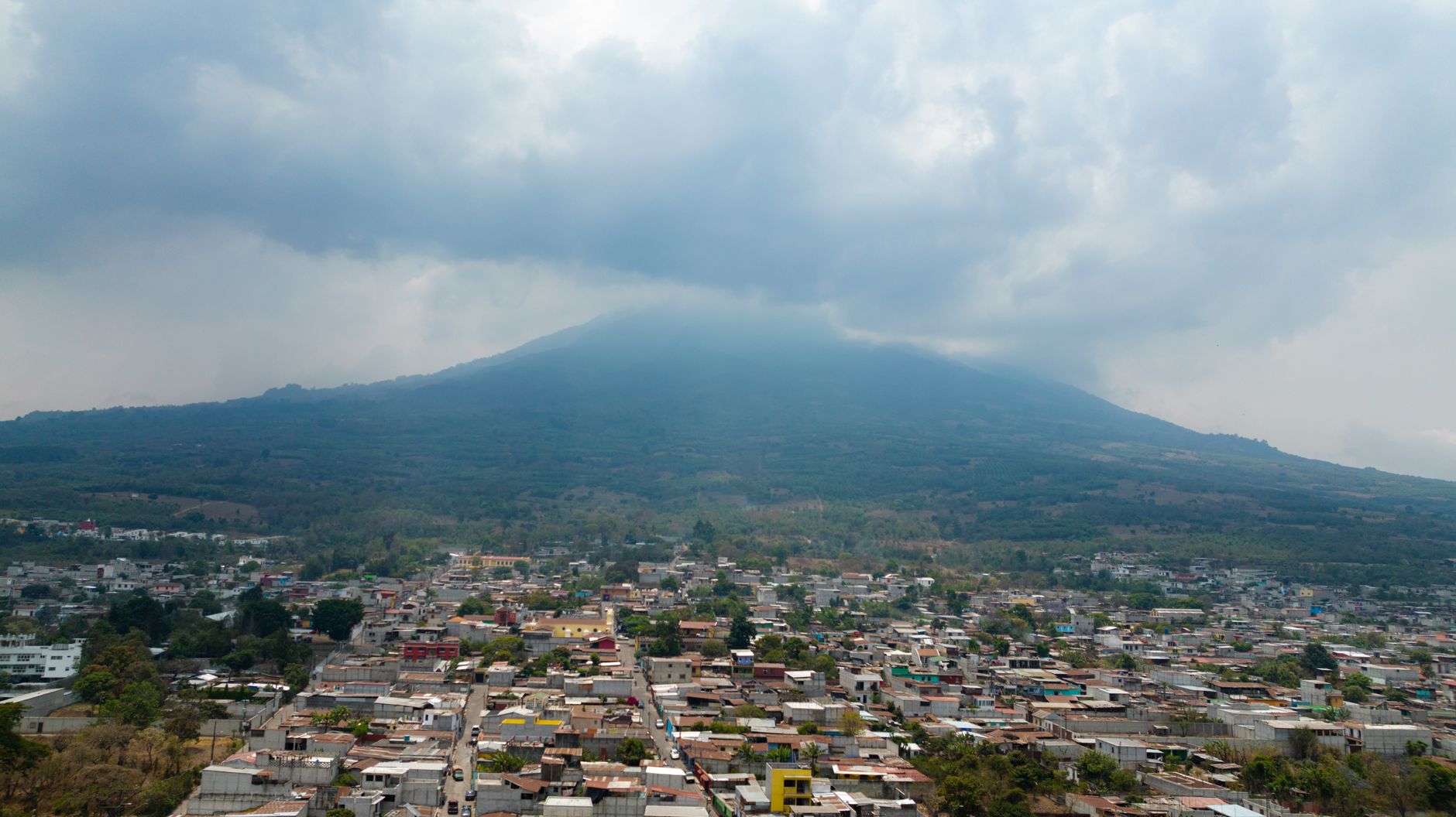
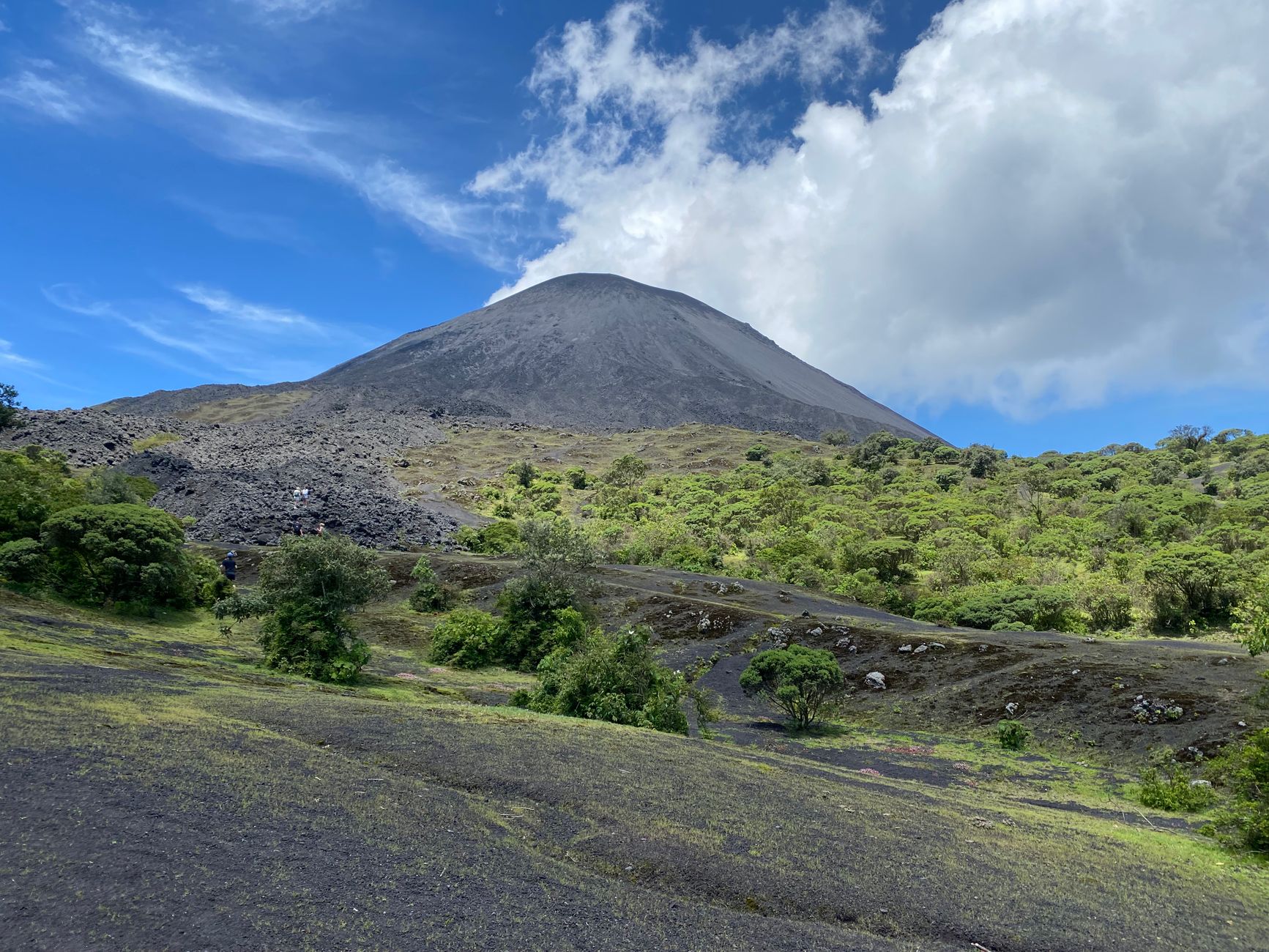
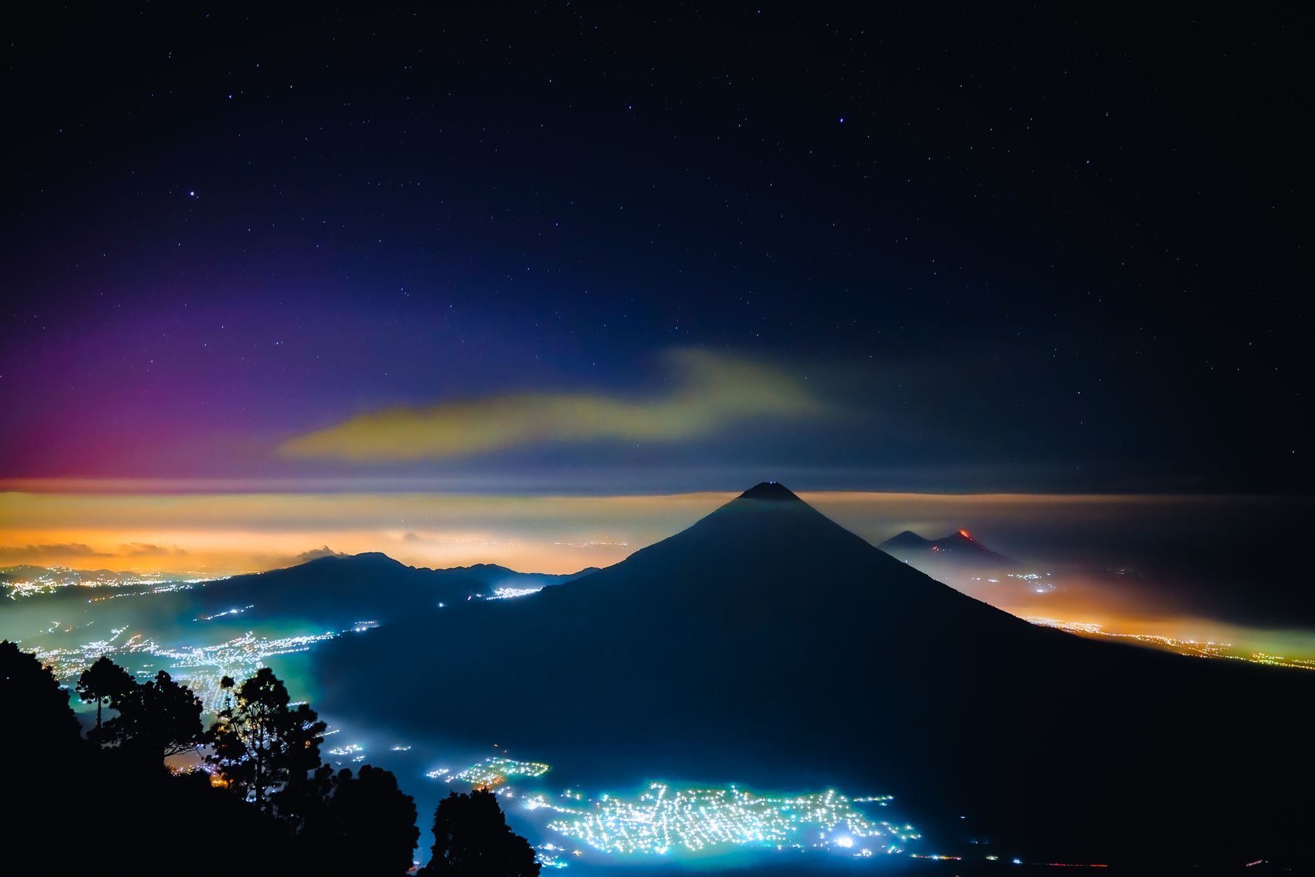
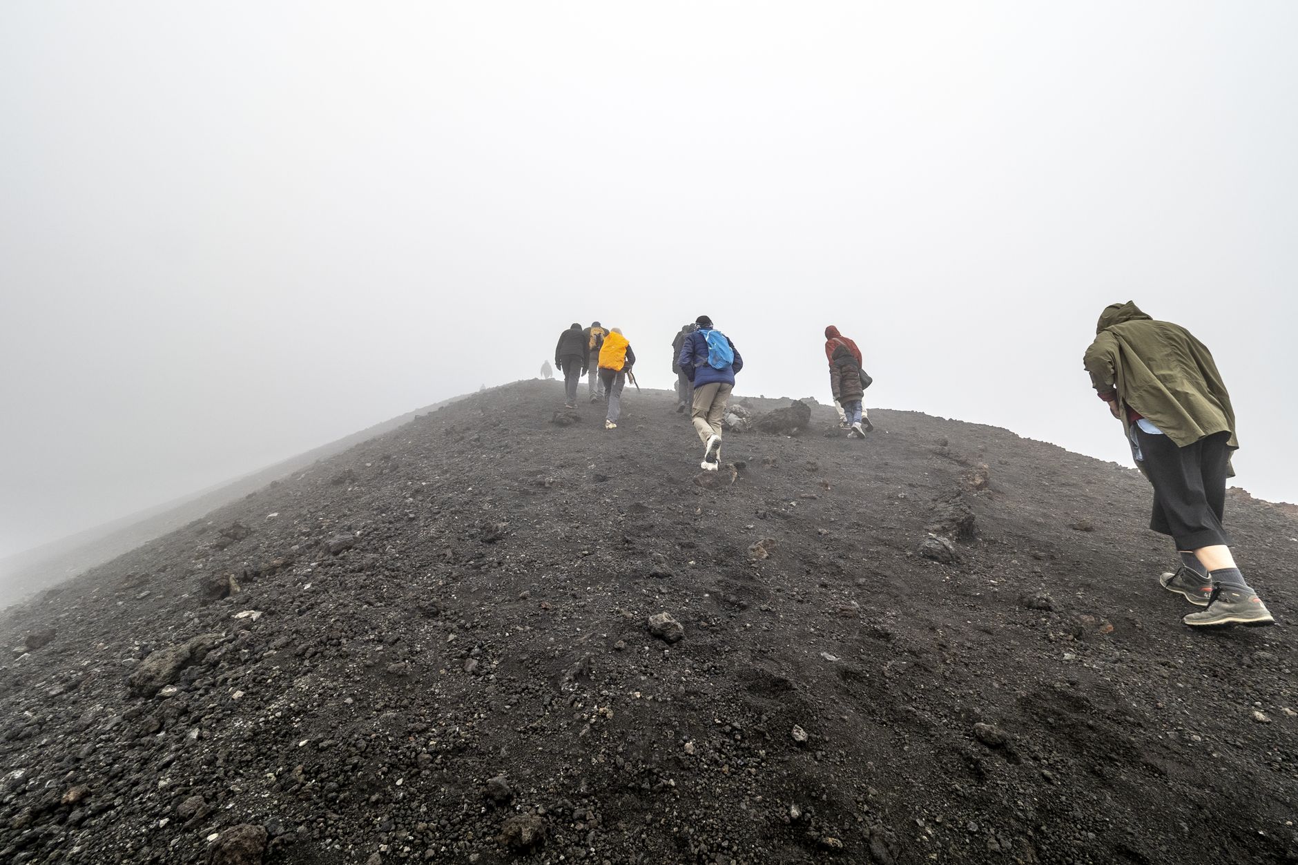
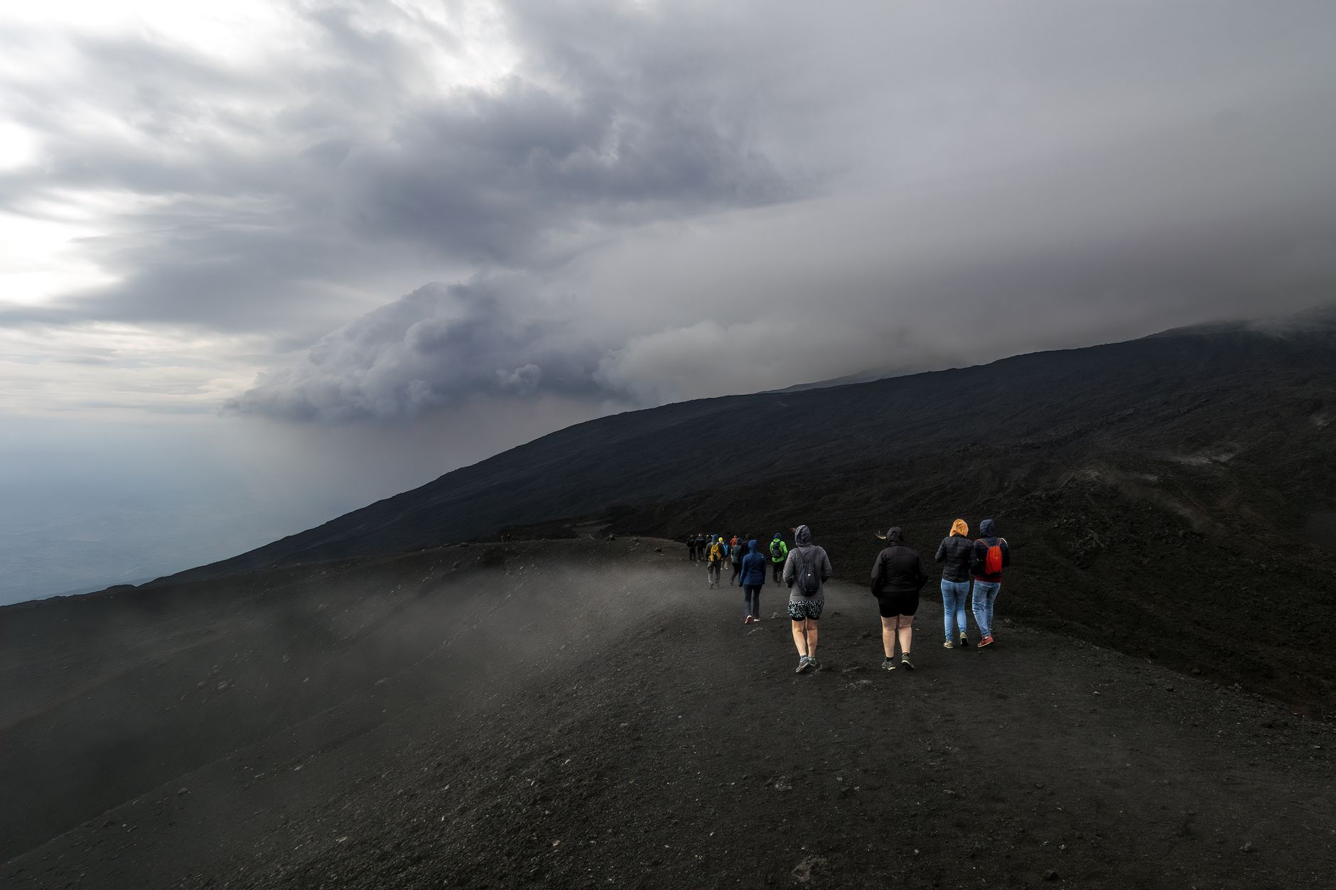
Pacaya is one of Guatemala's most active volcanoes, and the trail up its flanks is less a scenic walk than a geology lesson you feel underfoot — the path shifts from packed dirt through cloud forest before opening onto a moonscape of cooled black lava, the MacKenney Cone rising to 2,552 metres ahead of you. The cone has been persistently active since 1965, and as of early 2026 the volcano was showing renewed unrest, with gas and vapour plumes rising from inside the crater.
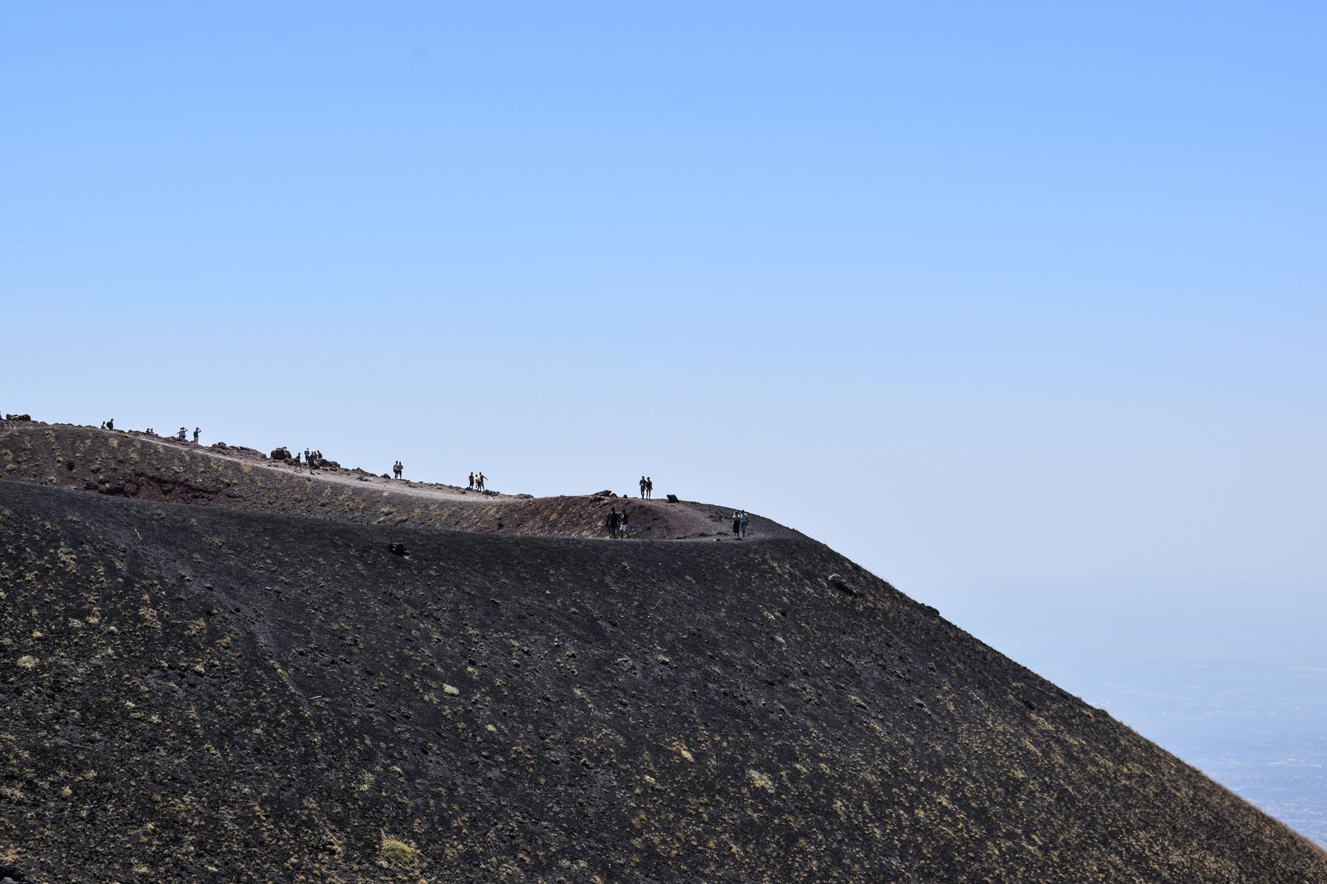
The hike itself is modest by mountain standards — roughly 5 kilometres round-trip, two to three hours with a guide — but the upper slopes can be cold, foggy and surprisingly exposed. Come prepared for that, and lower your expectations about active lava flows; in recent years the fields have been largely solid and the fumaroles quiet.
How Pacaya Volcano came to be
Pacaya has been building and collapsing for roughly 23,000 years. Around 900 years ago its edifice gave way in a massive landslide, sending debris 25 kilometres toward the Pacific coast. The volcano then went through long quiet periods before Europeans began recording its behaviour: since 1565 there are at least 28 documented eruptions, with the strongest occurring in 1775.
After more than 70 years of dormancy, Pacaya resumed vigorous activity in 1961 and has rarely rested since. The May 2010 eruption was particularly dramatic, sending ash columns 1,500 metres into the air. The most recent confirmed eruptive episode ran from 2015 to 2021, and the Instituto Nacional de Sismologia, Vulcanologia, Meteorologia e Hidrologia continues to monitor the site closely.
Who and what shaped it
Landmark buildings
See Pacaya Volcano in motion
Plan your visit
On the map
When to go
November through April is the practical window for a visit — dry, with temperatures on the lower slopes ranging from around 14°C to 26°C, though the upper slopes above 2,000 metres can drop below 10°C at night regardless of season. The wet season (May to October) brings heavy cloud cover that frequently swallows the summit entirely, with September averaging over 300mm of rain.
Right now
Background & history adapted from Wikipedia (CC BY-SA) · specs from Wikidata (CC0) · weather from Open-Meteo · map data © OpenStreetMap contributors · photos from Wikimedia Commons / Unsplash with per-image credit. No third-party reviews or social posts reproduced.