
Ometepe Island
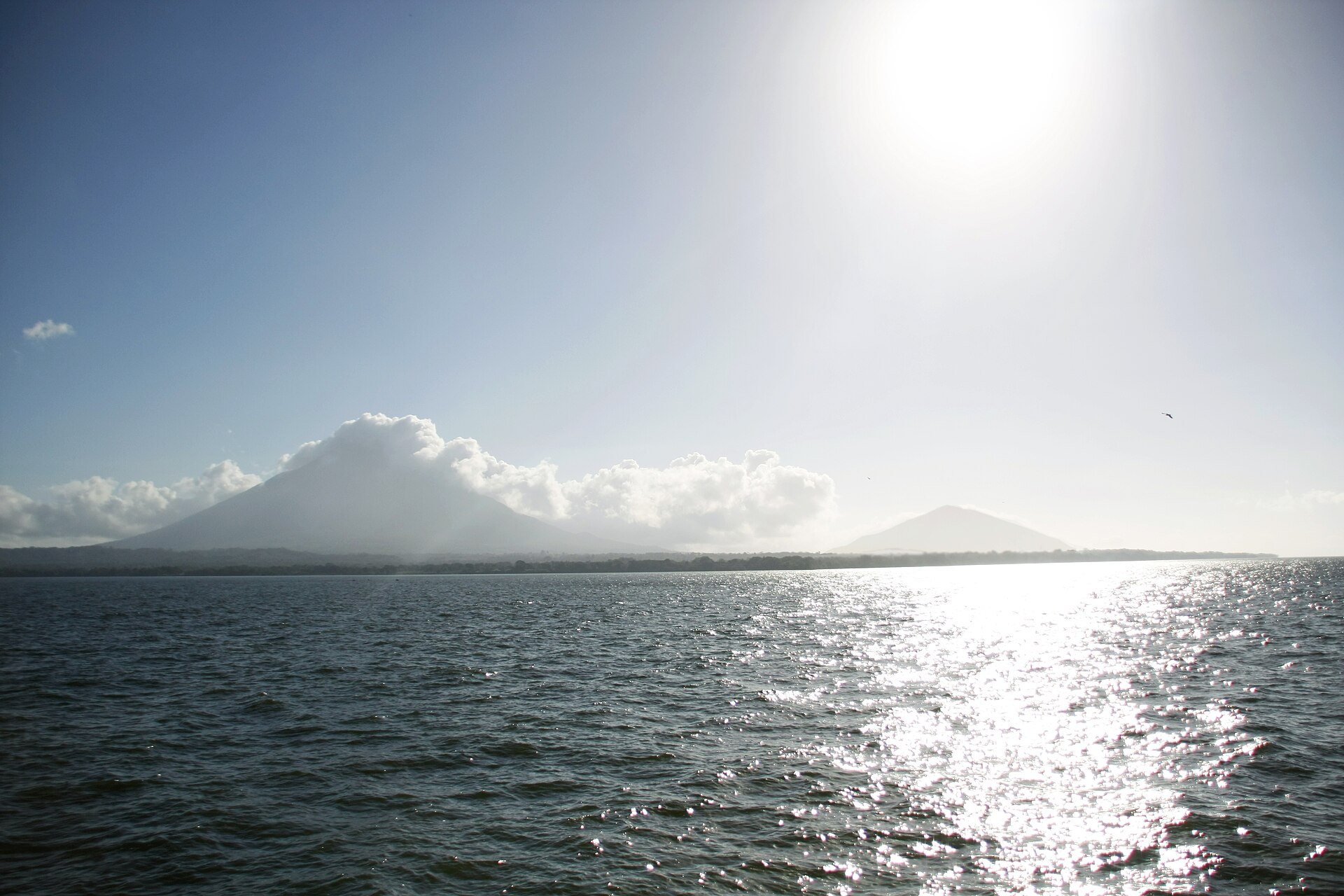
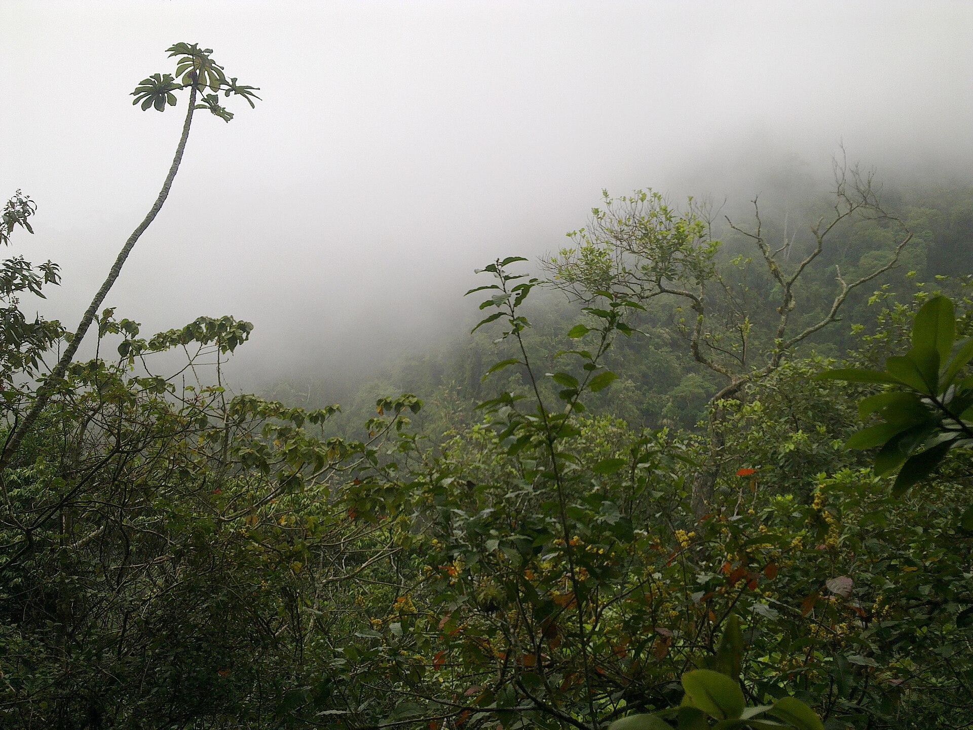
Two volcanoes rising from a freshwater lake — that's the whole shape of Ometepe. Concepción in the north, still active, still venting at 1,610 metres; Maderas in the south, dormant long enough to have grown a lagoon in its crater. A low isthmus stitches them together, and on that narrow waist you'll find cows ambling across concrete roads, fishermen casting nets at first light, and somewhere off a dirt track, a boulder covered in petroglyphs nobody has fully explained.
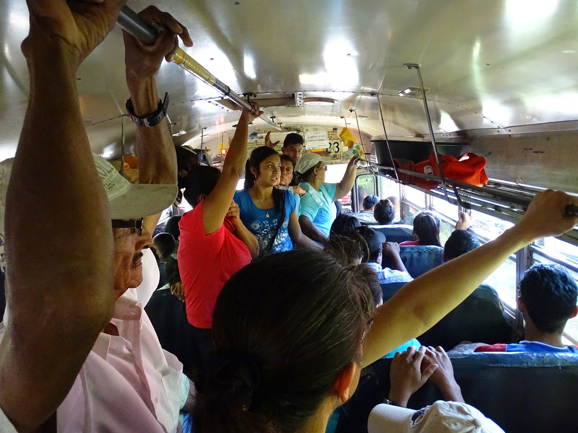
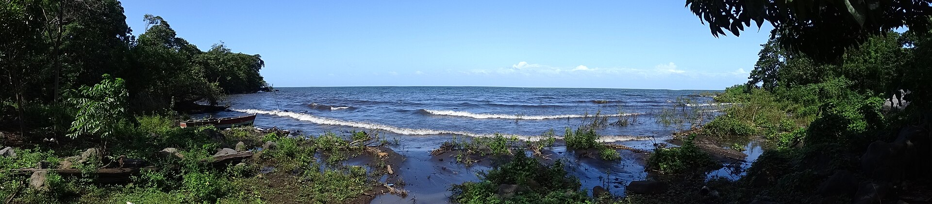
The island sits in Lake Nicaragua, accessible by a 70-minute ferry from the mainland town of San Jorge. Once you're across, the pace drops noticeably. Moyogalpa handles most arrivals; Altagracia, on the northeastern side, has the murals and the park. Between them lies a lot of red dirt, secondary roads that defeat ordinary cars, and a landscape that rewards slow travel.
💛 What travellers fall for
People who come back tend to time a second visit around the rainy season — the San Ramón waterfall runs full and loud then, and the crowds thin out. Rent a scooter from Moyogalpa rather than trying to drive; the secondary roads past Maderas' lower slopes are rough enough to punish anything without real clearance.
How Ometepe Island came to be
People have lived on Ometepe for roughly four thousand years. The earliest inhabitants spoke Macro-Chibchan languages; by around 300 BCE, communities were carving petroglyphs into boulders across the island — more than 2,000 of them have since been documented across 110 sites. The Chorotega and other pre-Hispanic cultures added to that record over the following centuries.
Spanish conquistadors arrived at the end of the 16th century, by which point pirates were already using Lake Nicaragua's San Juan River connection to the Caribbean as a raiding route. The island changed hands and character slowly over the colonial period. In 2010 — the same year Concepción last erupted — UNESCO designated Ometepe a Biosphere Reserve.
Who and what shaped it
Landmark buildings
See Ometepe Island in motion
Plan your visit
On the map
When to go
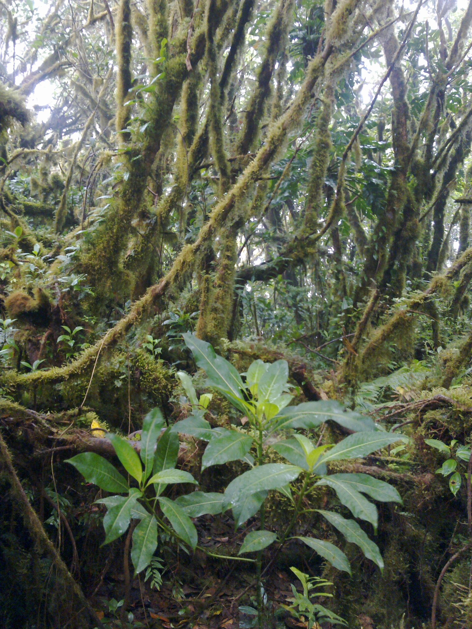
The dry season runs December through April and is the most comfortable time to visit, though winds between November and February can make the lake crossing rough. The rainy season brings lush trails and waterfalls at full volume — a reasonable trade for the mud on secondary roads.
Right now
Background & history adapted from Wikipedia (CC BY-SA) · specs from Wikidata (CC0) · weather from Open-Meteo · map data © OpenStreetMap contributors · photos from Wikimedia Commons / Unsplash with per-image credit. No third-party reviews or social posts reproduced.