
Okavango Delta
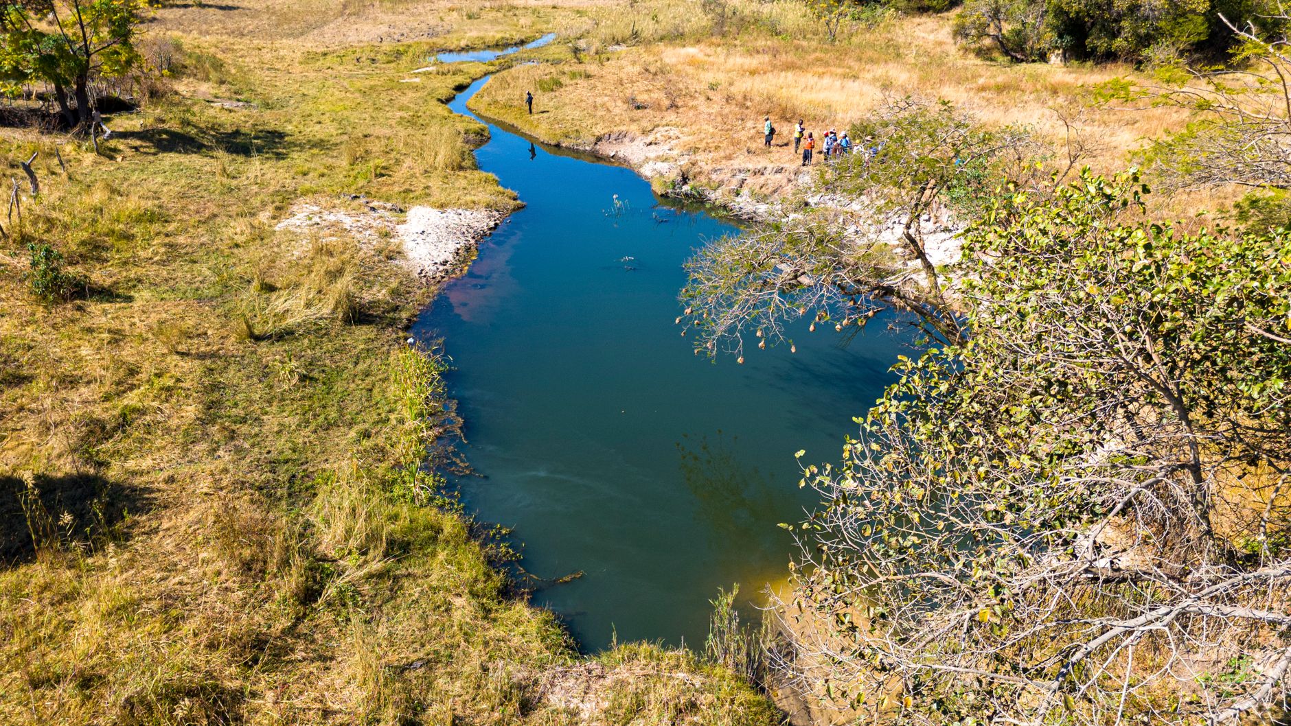
The Okavango River does something no other river on earth quite manages: it flows inland and disappears. Rising in the Angolan highlands, it travels roughly 1,000 kilometres before spreading across the Kalahari sand in a vast, shifting fan of channels, lagoons and papyrus islands — and then simply evaporates into the desert air. No sea, no lake, just water absorbed by sky.
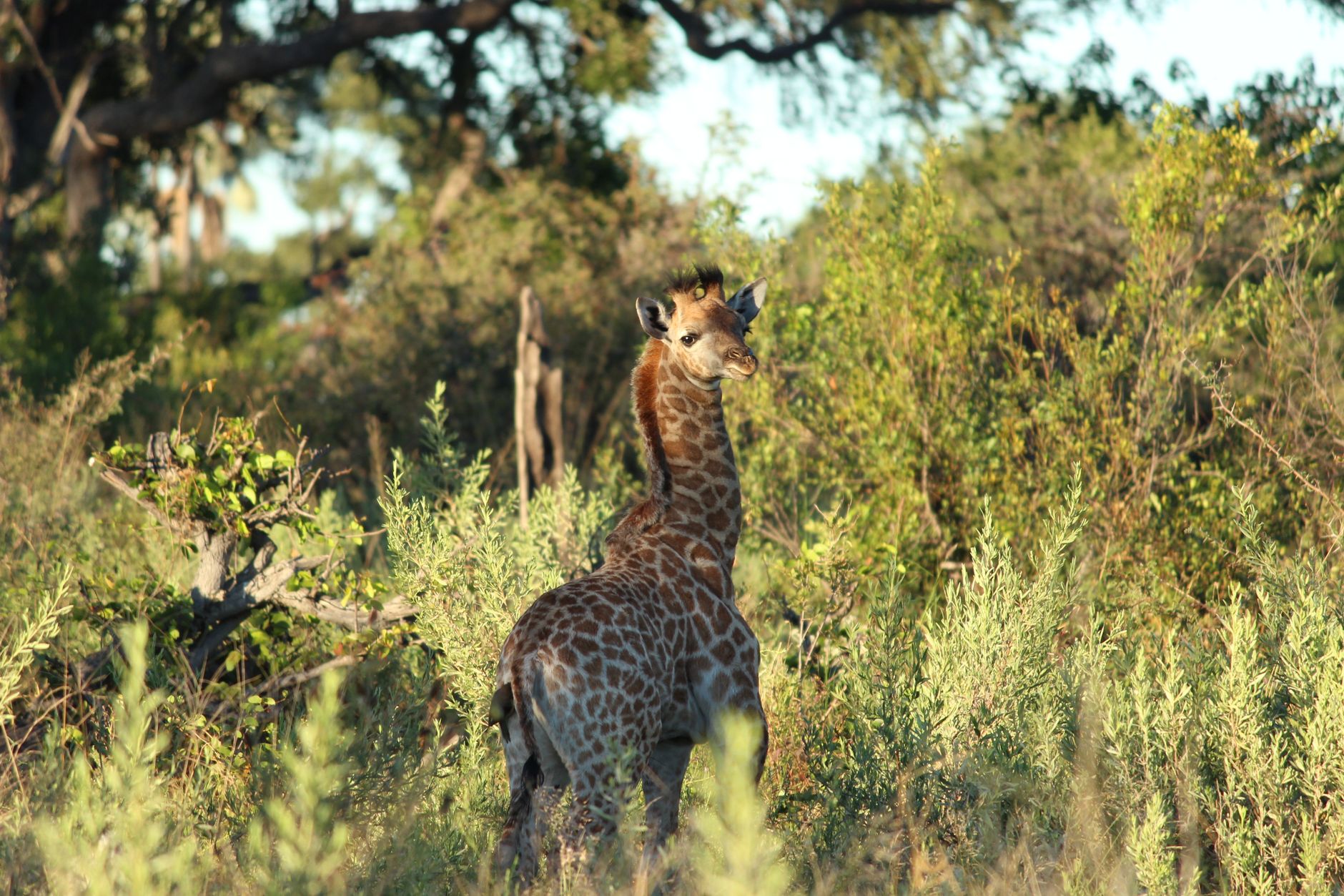
What that floodplain creates is one of Africa's great wildlife corridors. More than 150,000 islands rise and sink with the seasons, and the annual flood — arriving from Angola months after the rains fall — draws elephant, lion, leopard, hippo and wild dog into a landscape that is never quite the same twice.
💛 What travellers fall for
People who come back tend to say the same thing: go once by mokoro, the flat-bottomed pole-canoe, and once by small plane at low altitude. The aerial view of the channels from a Cessna — the way the water traces pale-blue veins across ochre sand — changes how you read everything you see on the ground afterward.
How Okavango Delta came to be
Around 60,000 years ago the Okavango drained into the vast Makgadikgadi paleolake, but seismic shifts eventually blocked that path, forcing the river to fan across the Kalahari basin instead. The result — a permanent inland delta in the middle of a desert — has drawn people for millennia. The San, Hambukushu, Bugakhwe and Xanikwe left more than 4,000 rock carvings at Tsodilo Hills, west of the Panhandle, a record of human life here that stretches back centuries.
Bantu-speaking farmers and the Tawana people settled Ngamiland over successive generations; the Tawana reached Maun in 1915. David Livingstone became the first European known to see the delta, in 1849. Modern safari camps arrived in the late 1960s, and in 1963 the wife of the King of Batawana established Moremi Reserve to curb over-exploitation. On 22 June 2014, the delta was inscribed as the 1,000th UNESCO World Heritage Site.
Who and what shaped it
People who shaped it
Landmark buildings
See Okavango Delta in motion
Plan your visit
On the map
When to go
The dry season, May through October, is the most practical time to visit: low humidity, cooler nights (July can drop to around 6°C), and flood waters at their highest, which concentrates wildlife. The wet season, November through March, brings heat and rain and briefly closes some camps, but the landscape turns intensely green.
Right now
Background & history adapted from Wikipedia (CC BY-SA) · specs from Wikidata (CC0) · weather from Open-Meteo · map data © OpenStreetMap contributors · photos from Wikimedia Commons / Unsplash with per-image credit. No third-party reviews or social posts reproduced.