
Oistins
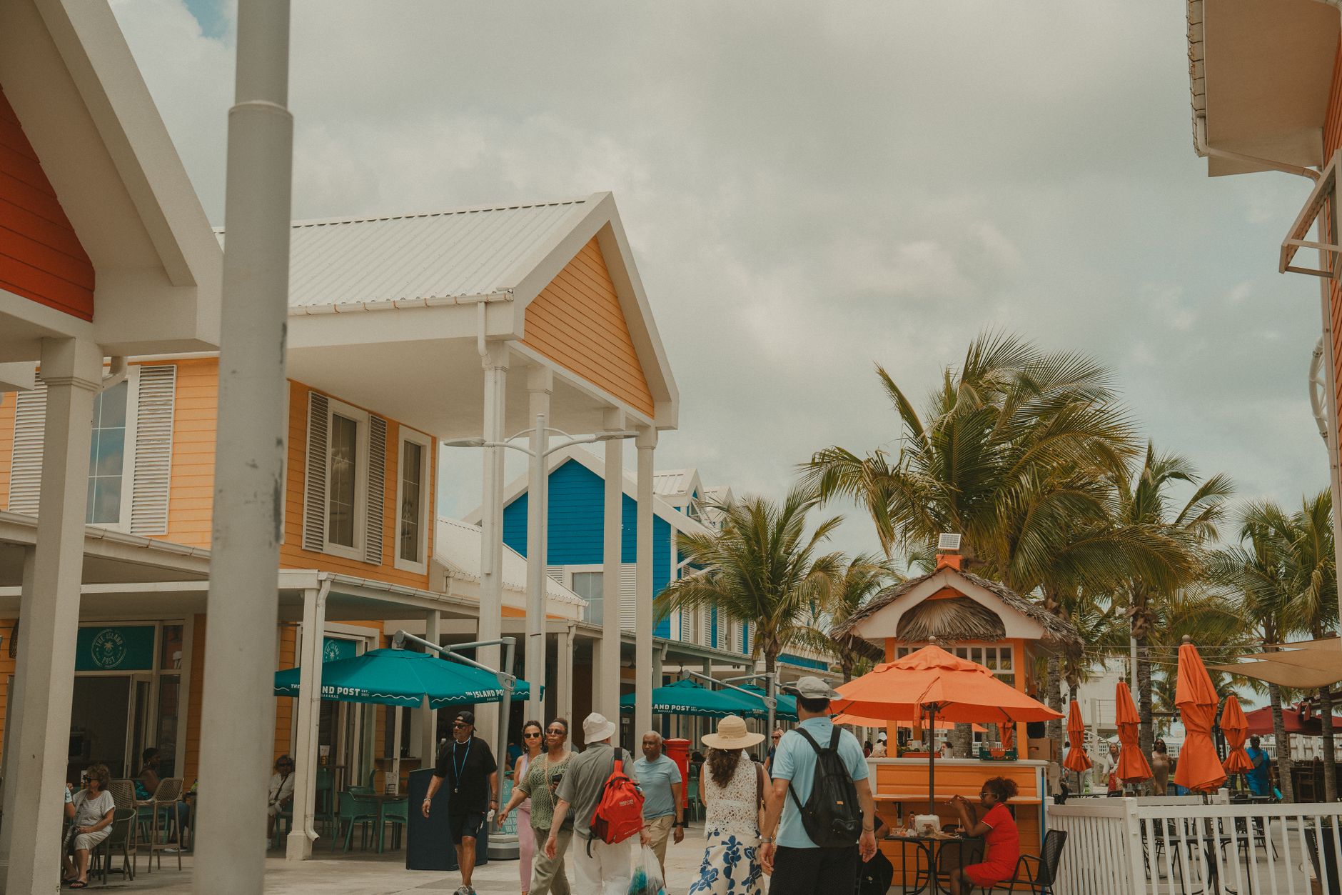
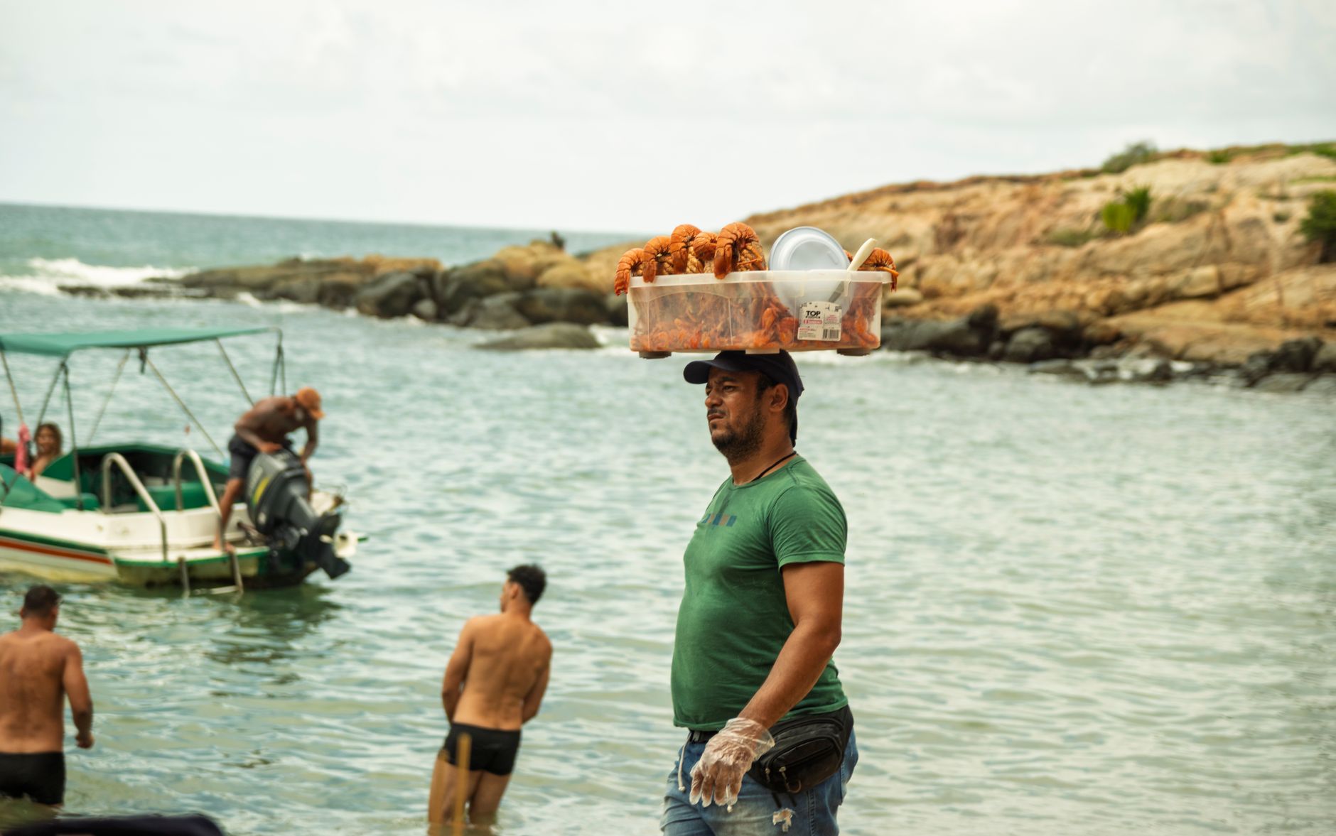

On Friday evenings, the smell of grilled flying fish reaches you before you see the lights. Oistins is a working fishing town on Barbados's south coast — boats come in through the day, the catch goes straight to the market, and by early evening the Bay Garden fills with smoke, music, and people who have been coming here for years. A plate of mahi-mahi with rice and peas costs you around fifteen US dollars. Old-timers play dominoes at tables between the stalls.
Beyond the fish fry, Oistins carries real weight. A 1652 treaty that helped shape the rights of Barbadian colonists was signed here, at a tavern that no longer exists. Christ Church Parish Church, rebuilt five times over four centuries, stands on the hill above the bay. The town holds both things — the historic and the everyday — without making a fuss about either.
💛 What travellers fall for
People who return tend to arrive at 5:45, not 7. That first hour, before the crowd peaks, is when you get a table without circling, catch the cooks before the rush, and actually hear the person across from you. Bring cash in Barbados dollars. The stalls that have been there longest are worth the short queue.
Deals in Oistins
Book directly at the provider

How Oistins came to be
The name likely traces to an early landowner — historian Richard Ligon described him as 'a wild, mad, drunken fellow' — which gives you some sense of Oistins in its earliest incarnation. The town's more consequential moment came in 1652, when the Charter of Barbados, known as the Treaty of Oistins, was signed at the Mermaid Tavern. It ended the fighting between local colonists and the English Commonwealth and secured colonists' rights over taxation and land ownership — an early assertion of local authority that still resonates.
For most of its history, Oistins functioned as a trans-shipment point for sugar and agricultural goods. The fish market opened in June 1950, the Oistins Fisheries Complex followed in 1983 with a proper jetty and ice-making facilities, and the town gradually became what it is today: a place where the fishing industry and the Friday night gathering exist side by side, neither one eclipsing the other.
Who and what shaped it
Landmark buildings
See Oistins in motion
Plan your visit
On the map
When to go
Temperatures stay between 25°C and 28°C year-round, with the dry season running from early December through May — the most comfortable window for spending an evening outside. The wet season peaks August through October, when you can expect rain on roughly two out of three days, though showers are often short; the trade winds keep things from feeling heavy.
Right now
Background & history adapted from Wikipedia (CC BY-SA) · specs from Wikidata (CC0) · weather from Open-Meteo · map data © OpenStreetMap contributors · photos from Wikimedia Commons / Unsplash with per-image credit. No third-party reviews or social posts reproduced.