
Ocho Rios
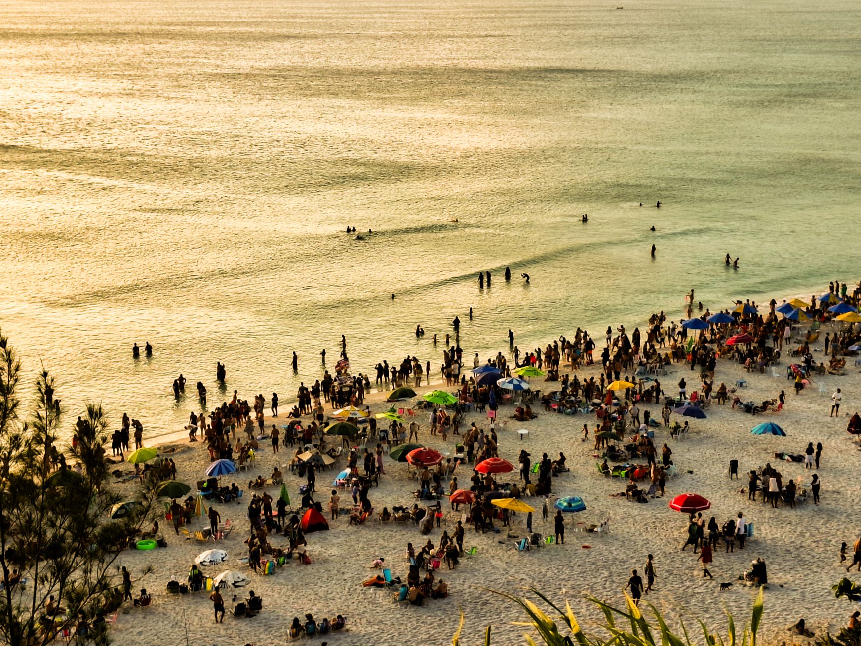
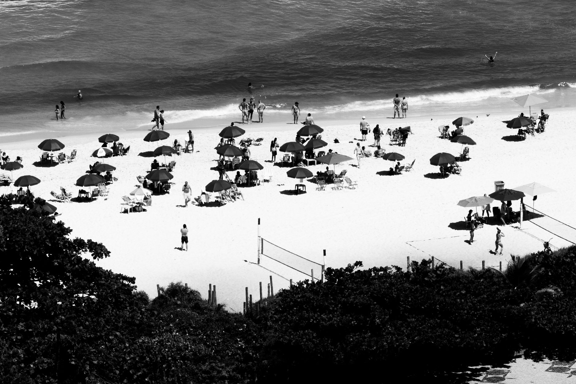
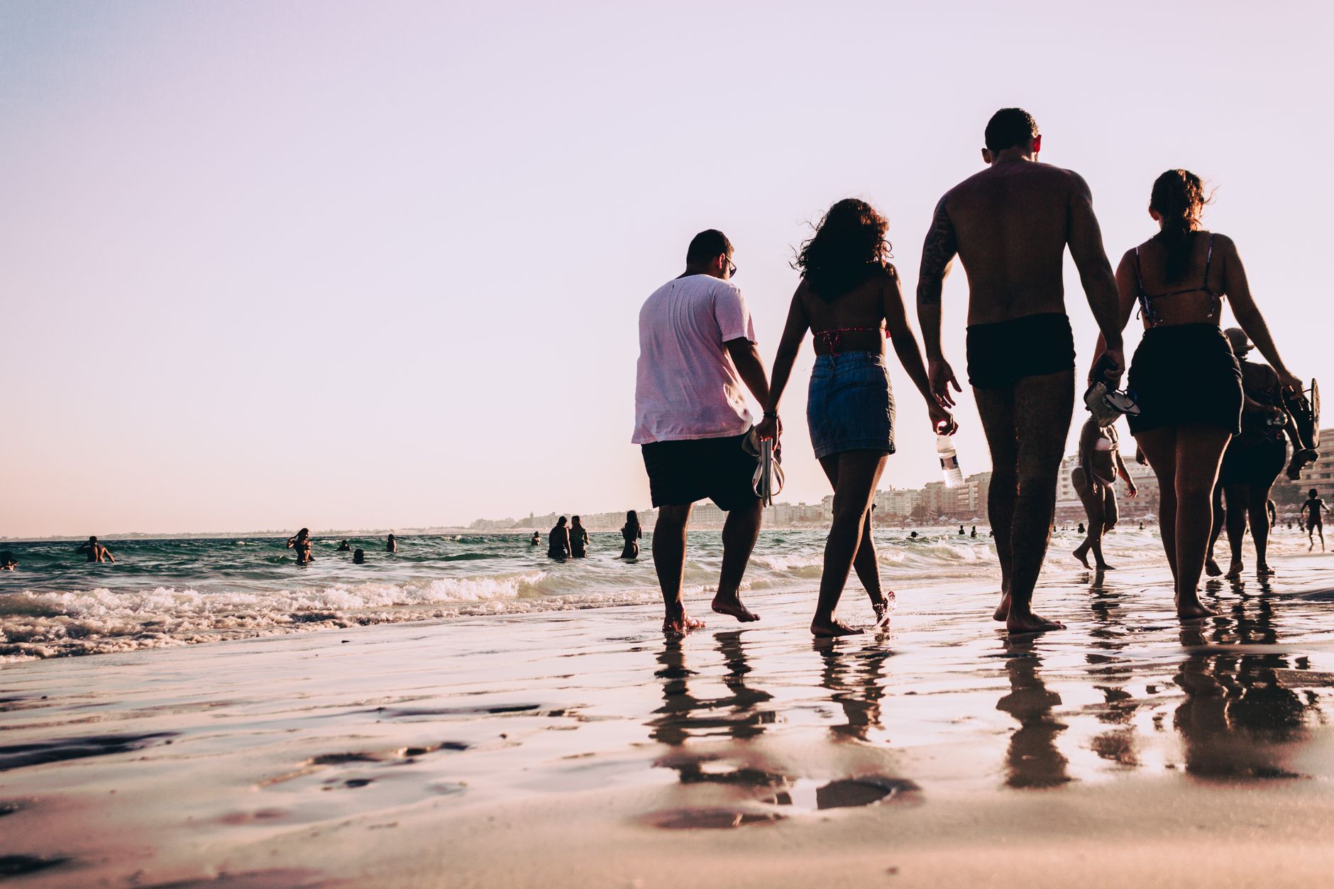
The name is a mistake that stuck. Spanish settlers called this stretch of Jamaica's north coast Las Chorreras — the rapids — but English ears heard eight rivers, and Ocho Rios was born from a mishearing. That accidental poetry suits the place: a former fishing village that became Jamaica's busiest cruise port without entirely losing its older rhythms.
Fern Gully cuts through town on the way in from Kingston — nearly five kilometres of gorge road canopied by more than 540 varieties of fern, the road bed itself carved out by a 1907 earthquake. Beyond it, the hills drop to a coast where limestone waterfalls, turquoise river pools, and rainforest adventure parks sit within minutes of each other.
How Ocho Rios came to be
The Taíno people were here first, calling the island Xamayca — land of wood and water — from around 1,000 BCE. Columbus arrived in 1494, the Spanish followed, and by 1655 British forces had taken Jamaica from them. That transfer produced the name: English soldiers misread las chorreras as something closer to eight rivers, and Ocho Rios entered the map.
After emancipation in 1834, freed enslaved people rebuilt the settlement as a fishing village. The modern resort era began in 1949 when Abe Issa opened Tower Isle Hotel — Jamaica's first year-round resort — and went on to found the Couples Resorts brand and chair the Jamaica Tourism Board from its inception in 1955. The Jamaican government's systematic coastal development followed through the 1960s. In January and February 1967, Martin Luther King Jr. came here with his wife Coretta to draft his final book, Where Do We Go From Here: Chaos or Community?
Who and what shaped it
People who shaped it
Landmark buildings
See Ocho Rios in motion
Plan your visit
On the map
When to go
Temperatures stay between roughly 26°C and 32°C year-round, with the driest months running December through April and again in July and August. Two rainy seasons — May to June, and September through November — bring real downpours, with October averaging 16 wet days; the waterfalls run fuller, but outdoor plans need flexibility.
Right now
Background & history adapted from Wikipedia (CC BY-SA) · specs from Wikidata (CC0) · weather from Open-Meteo · map data © OpenStreetMap contributors · photos from Wikimedia Commons / Unsplash with per-image credit. No third-party reviews or social posts reproduced.