
Oaxaca
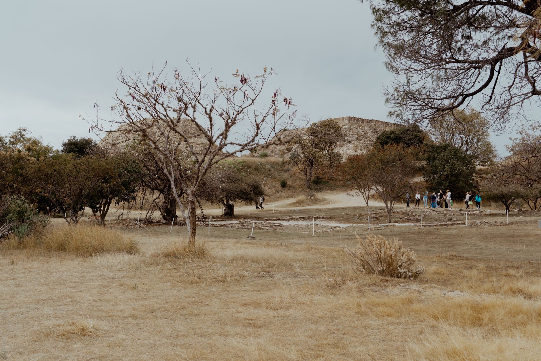
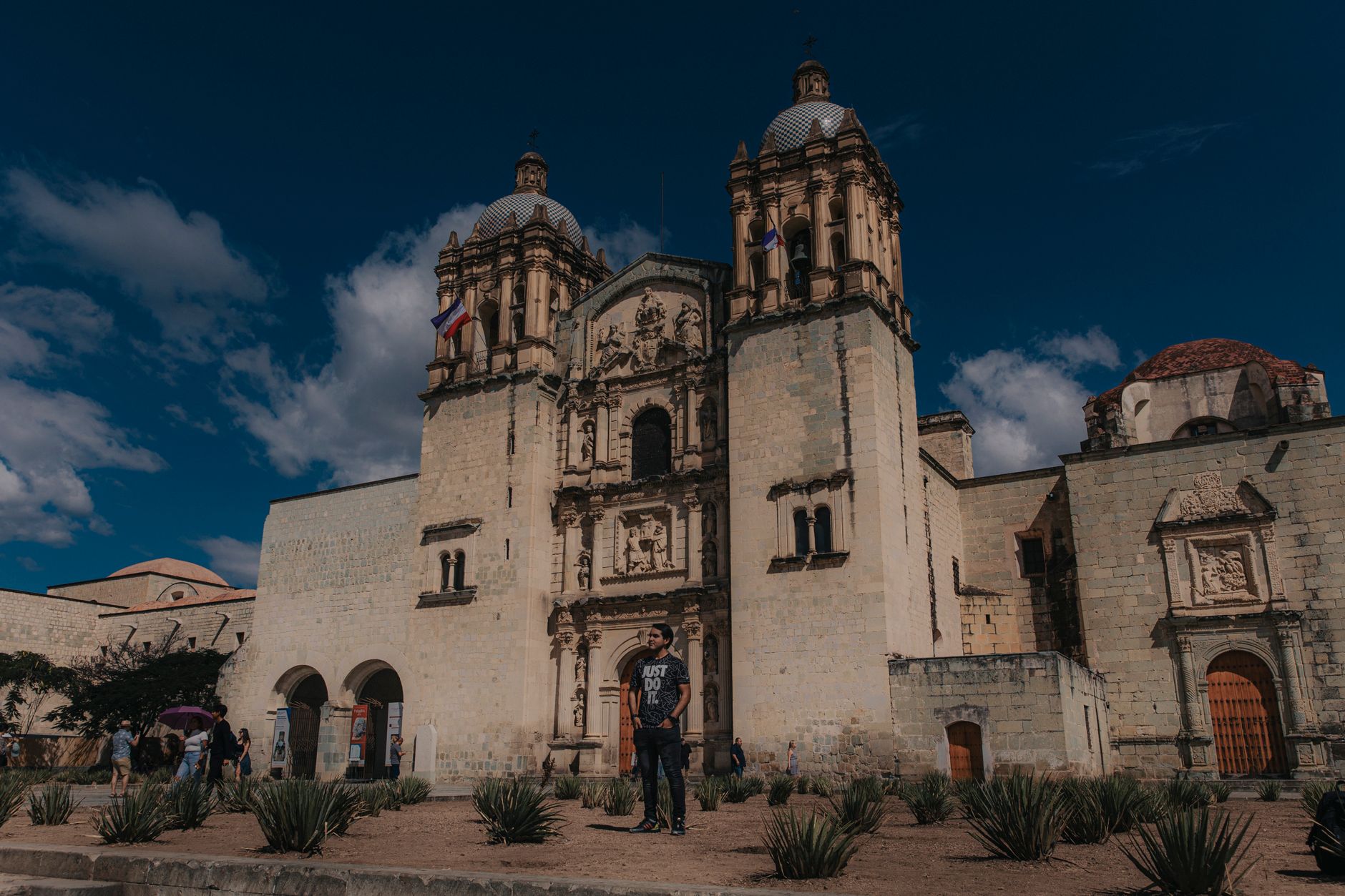
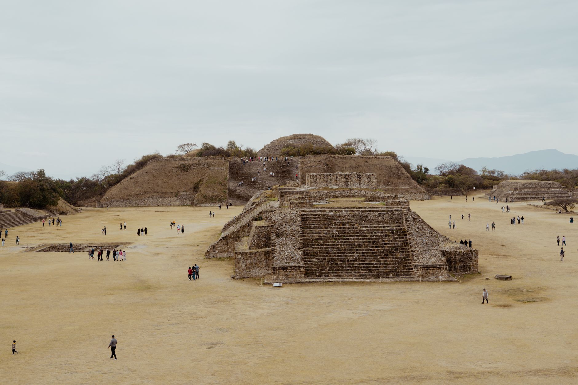
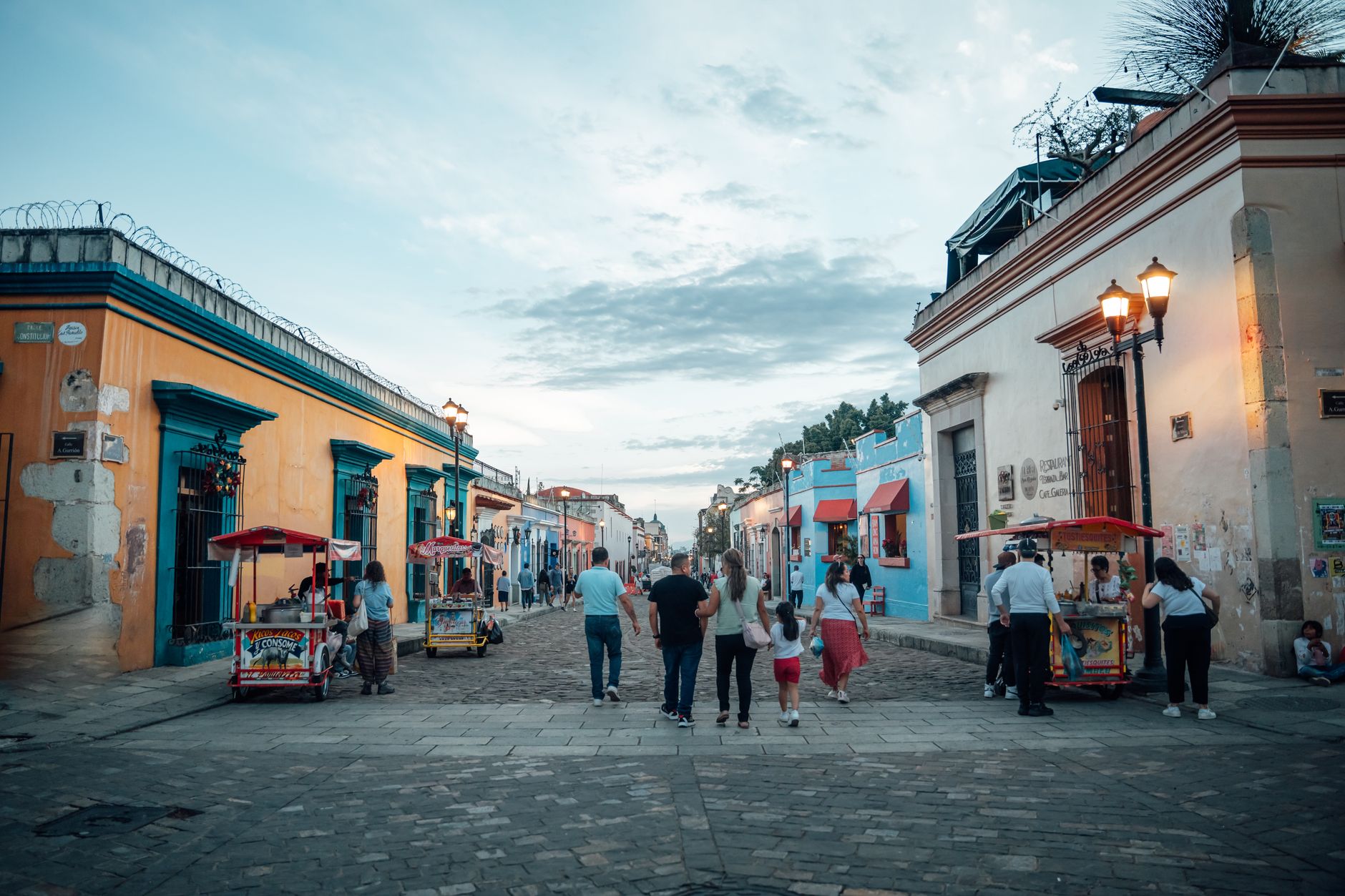
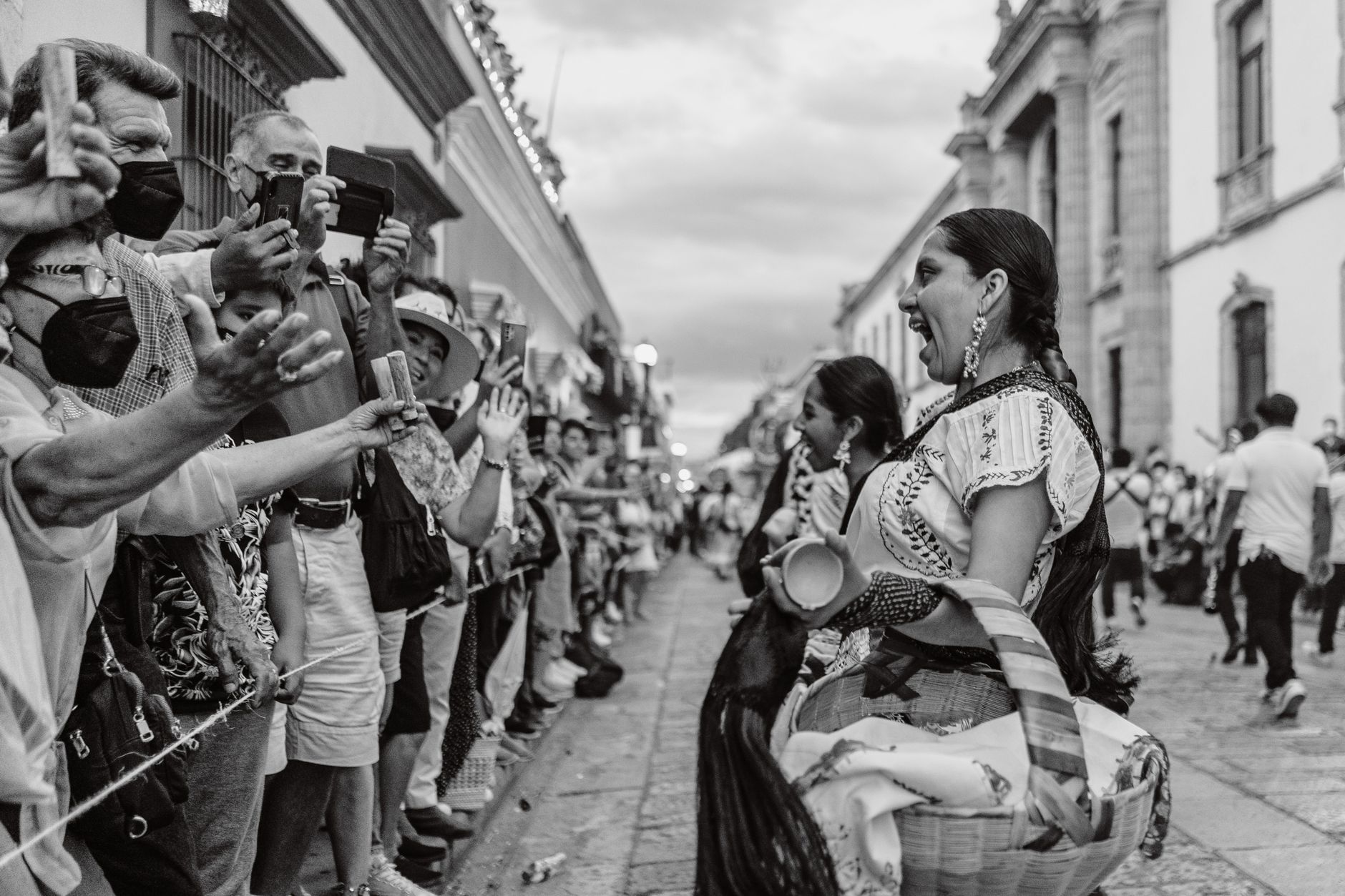
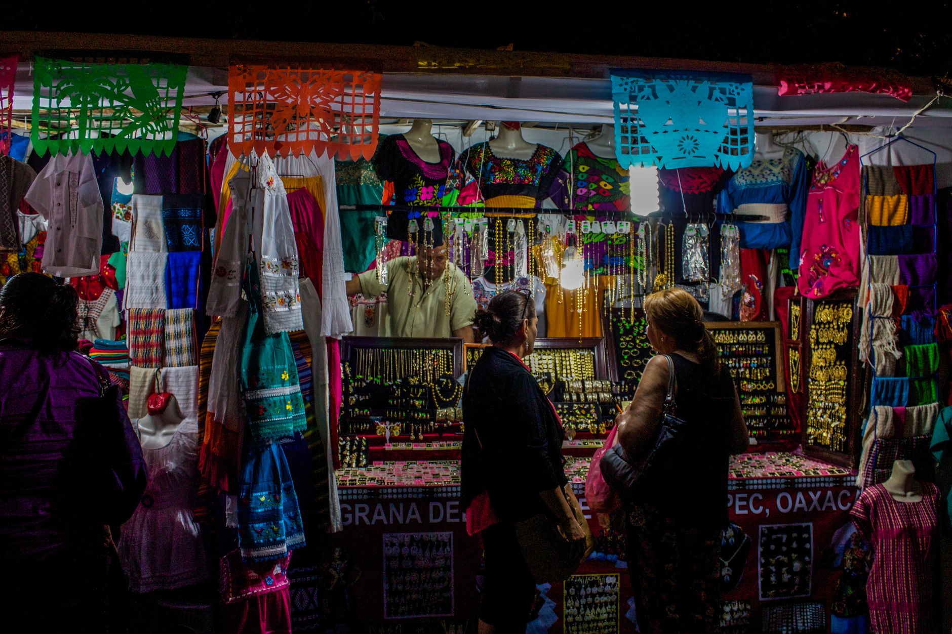
Oaxaca is the kind of place where a single morning walk can take you past a Zapotec ruin, a baroque convent dripping in gold leaf, and a market stall pressing fresh tlayudas on a comal. The state stretches from the high Central Valleys — where Monte Albán once commanded the skyline — down through cloud forest and on to the Pacific coast, and that geographic range is matched by an equally wide cultural one.
The capital, Oaxaca de Juárez, is compact enough to cover on foot, with 1,200 catalogued historic monuments packed into a colonial grid laid out in 1529. But the state rewards those who push beyond the city: the geometric stone mosaics at Mitla, the black-clay workshops of San Marcos Tlapazola, the mezcal distilleries in the Tlacolula Valley.
💛 What travellers fall for
People who come back tend to anchor themselves in the Jalatlaco neighbourhood rather than dead-centre, where the streets are quieter and the morning light on the painted facades is worth waking up for. The colectivos are genuinely the fastest way to reach the valley towns — look for the maroon-and-white sedans at the 2nd-class bus station, destination written on the windshield.
How Oaxaca came to be
Human presence in the Oaxacan valleys stretches back roughly 13,000 years — the Guilá Naquitz cave near Mitla holds some of the earliest evidence — and by 500 BCE the Zapotecs had built Monte Albán into one of Mesoamerica's great cities, carving terraces, pyramids and canals directly from the mountain. The site served as a religious and political capital for over a millennium before its gradual abandonment around 800 CE, after which Mixtec groups moved through and left their own mark, including the treasure-filled Tomb 7 that archaeologist Alfonso Caso opened in 1932.
Spanish forces arrived in 1521, and by 1529 a colonial settlement — initially called Antequera — was laid out in the valley below Monte Albán. King Charles V granted it city status in 1532. Two of Mexico's most consequential leaders came from this state: Benito Juárez, whose liberal reforms reshaped the republic, and Porfirio Díaz, who dominated it for decades after. When Juárez died in 1872, the city took his name.
Who and what shaped it
People who shaped it
Landmark buildings
See Oaxaca in motion
Plan your visit
On the map
When to go
The Central Valleys sit at around 1,500 metres, which keeps temperatures mild year-round — warm afternoons, cool nights. The rainy season runs roughly May through September, with afternoon showers that clear quickly; the dry months from October through April are the most reliably sunny for travel.
Right now
Background & history adapted from Wikipedia (CC BY-SA) · specs from Wikidata (CC0) · weather from Open-Meteo · map data © OpenStreetMap contributors · photos from Wikimedia Commons / Unsplash with per-image credit. No third-party reviews or social posts reproduced.