
Nxai Pan National Park

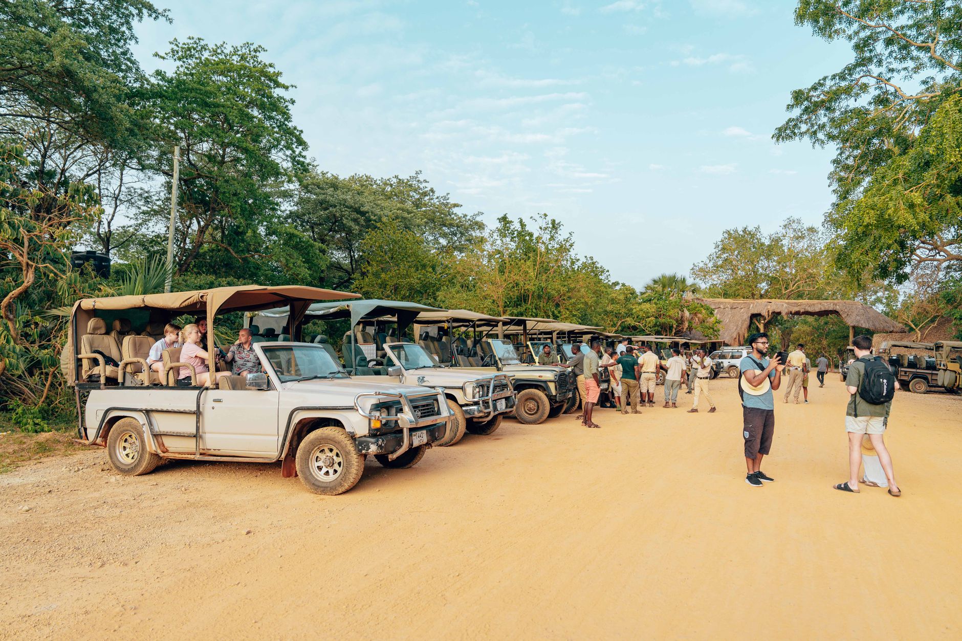
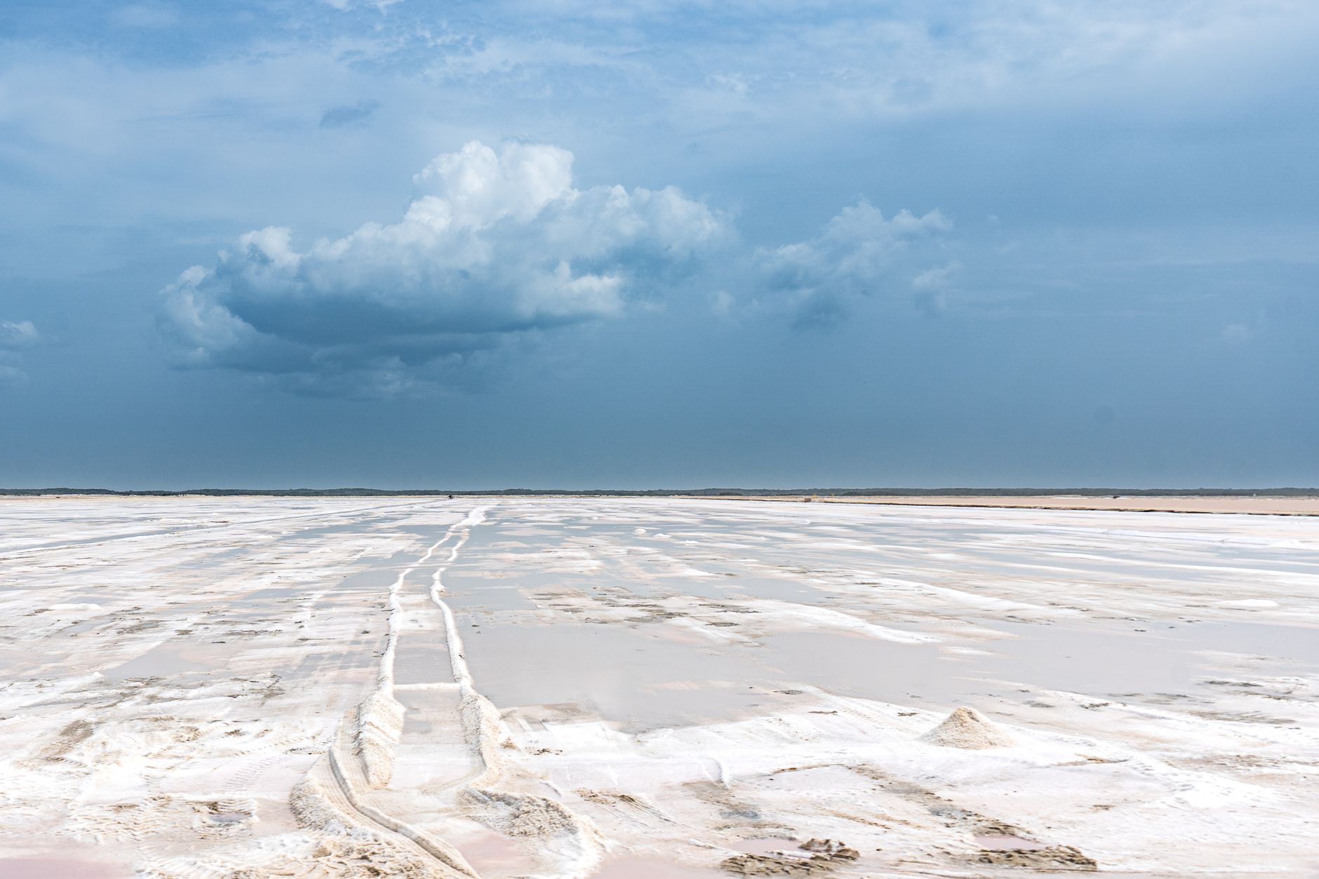


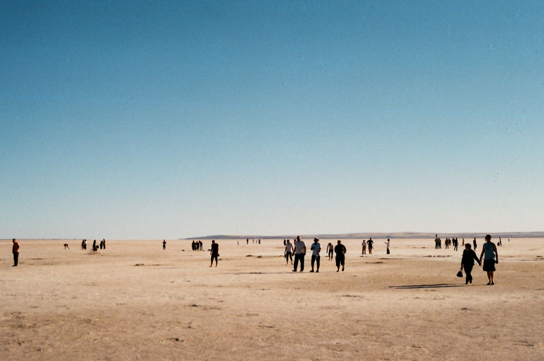
Nxai Pan is a fossil lake bed — roughly 40 square kilometres of ancient, grass-covered flatness in northern Botswana — and the scale of it takes a moment to settle in. Umbrella thorn acacias rise in small islands across the plain, elephants coated in clay move through the heat haze, and the sky above feels disproportionately large.
The park's name traces back to the San word for a curved digging stick, a shape the pan's outline supposedly mirrors. That connection to the land runs deep here: the San used these pans seasonally for generations before the area was declared a game reserve in 1970. Come the December rains, zebra and wildebeest arrive in numbers, and the pan floor briefly fills with flowers.
How Nxai Pan National Park came to be
Frederick Green passed through in the 1850s; Thomas Baines followed in 1862, pausing long enough to paint the cluster of seven baobabs on the edge of Kudiakam Pan. Those trees — now known as Baines' Baobabs, or the Sleeping Sisters — stand more than twenty metres tall and are thought to be around a thousand years old. Baines' paintings and the trees themselves are so closely matched that visitors still hold the images up against the real thing.
The area was gazetted as a game reserve in 1970, covering 1,676 square kilometres. A 1992 boundary extension brought the baobabs formally within protected land and raised the total area to 2,578 square kilometres, at which point the reserve was upgraded to National Park status.
Who and what shaped it
People who shaped it
Landmark buildings
See Nxai Pan National Park in motion
Plan your visit
On the map
When to go
The dry season (April to October) offers reliable wildlife sightings and easier roads, with June and July pleasantly cool and October pushing toward 36°C. The wet season (November to March) brings afternoon thunderstorms and the zebra migration, but dirt tracks can close without warning — factor that in if you're self-driving.
Right now
Background & history adapted from Wikipedia (CC BY-SA) · specs from Wikidata (CC0) · weather from Open-Meteo · map data © OpenStreetMap contributors · photos from Wikimedia Commons / Unsplash with per-image credit. No third-party reviews or social posts reproduced.