
Nuwara Eliya
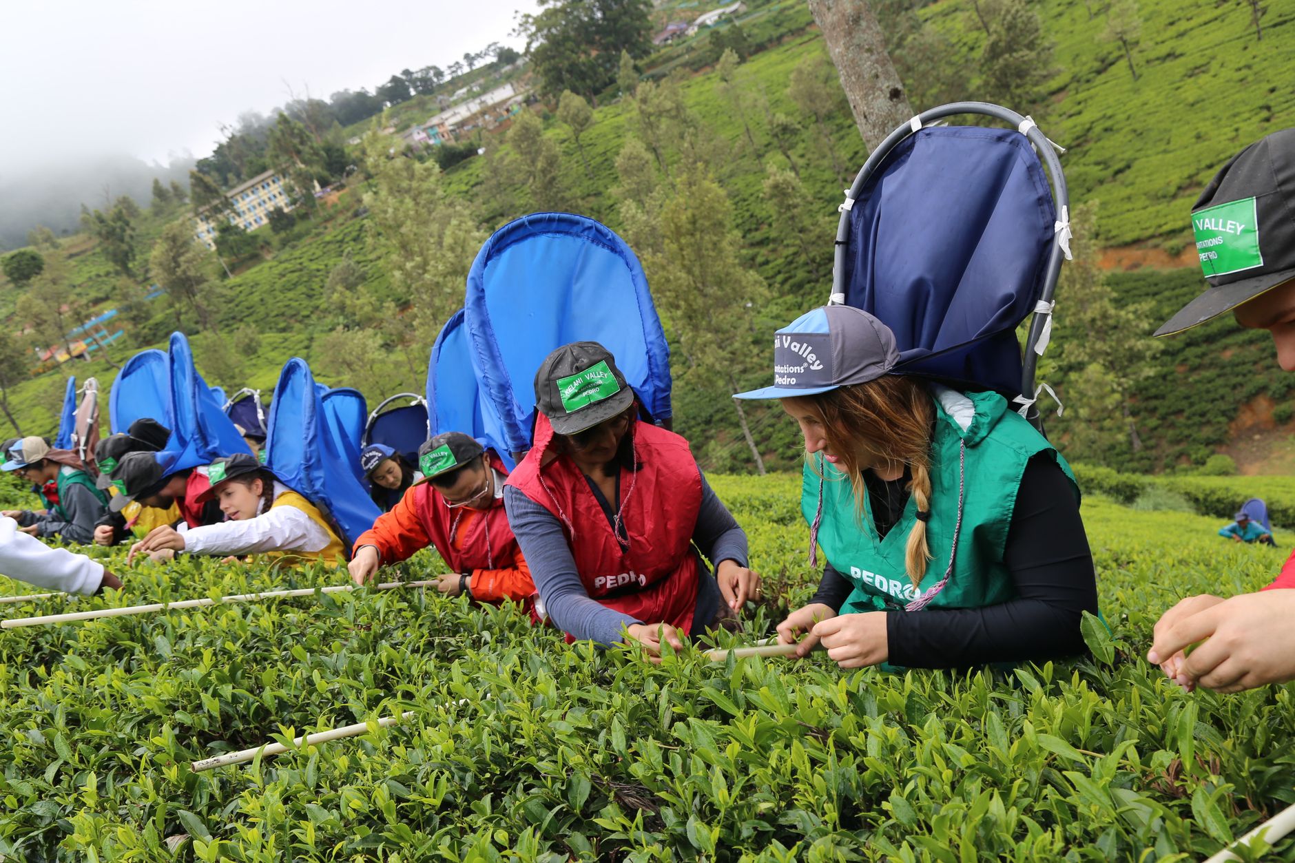
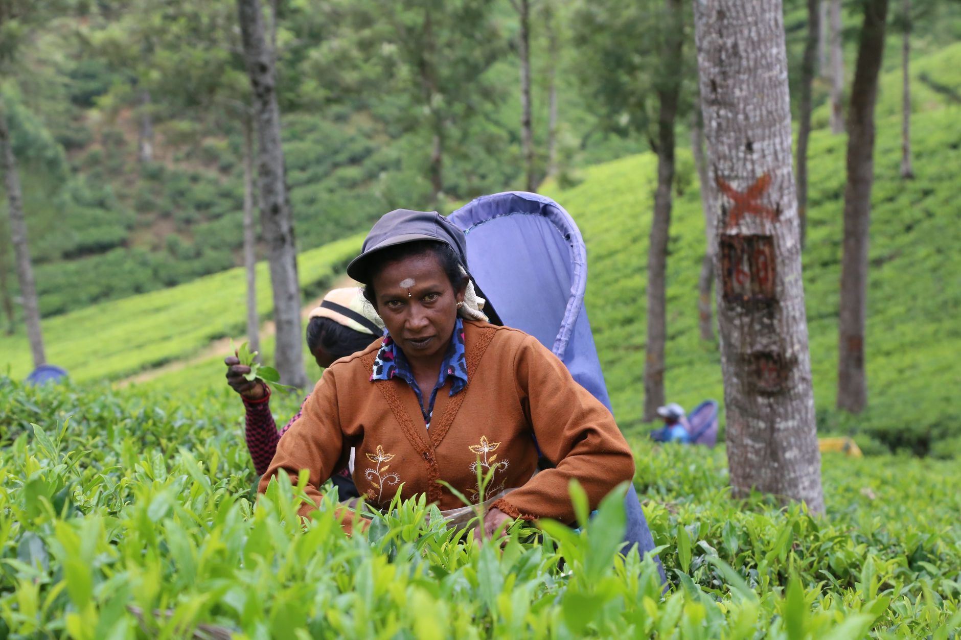
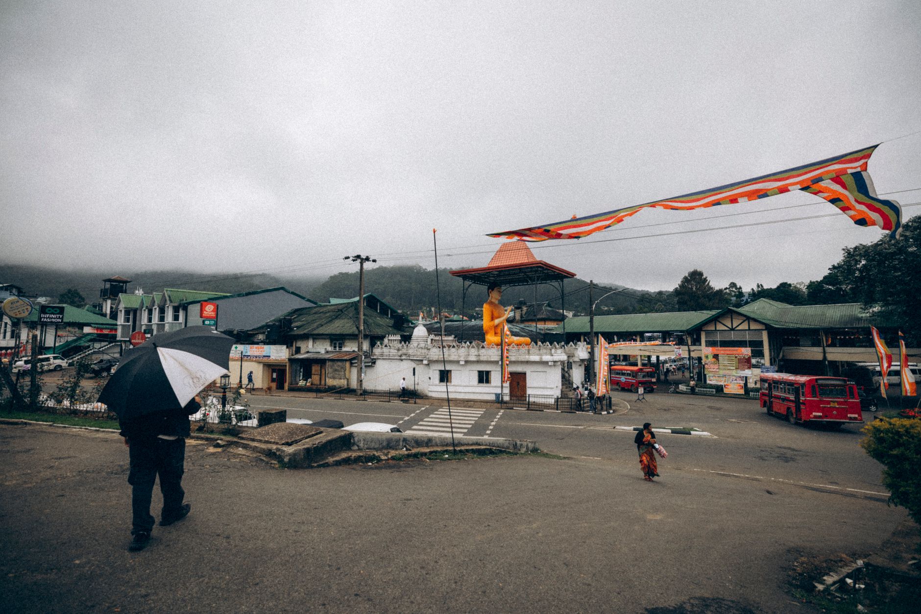
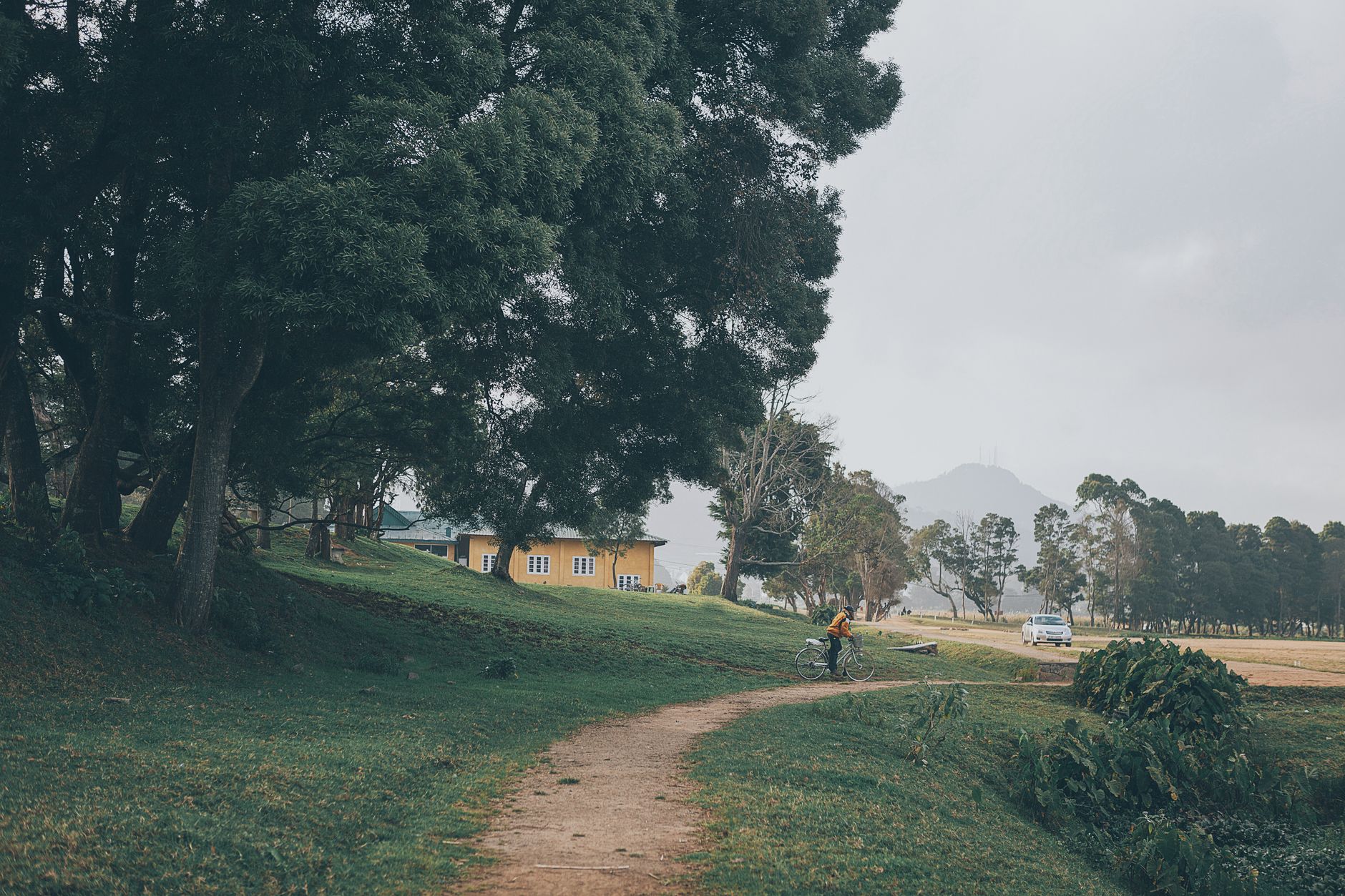
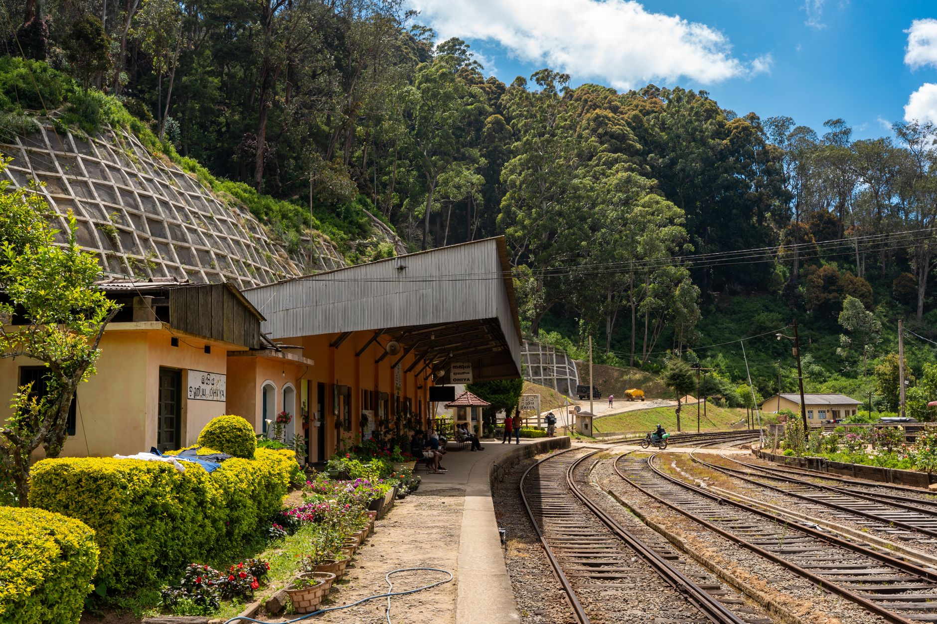
At 1,868 metres, Nuwara Eliya sits high enough that you'll want a jacket in the evening — a disorienting thought when you've just come from the coast. The air carries something damp and green, the hills are terraced with tea to the horizon, and the town centre has a particular strangeness: Tudor post office, colonial golf club, Anglican stone church, all arranged as though a corner of 1890s England was packed into crates and reassembled in the Sri Lankan highlands.
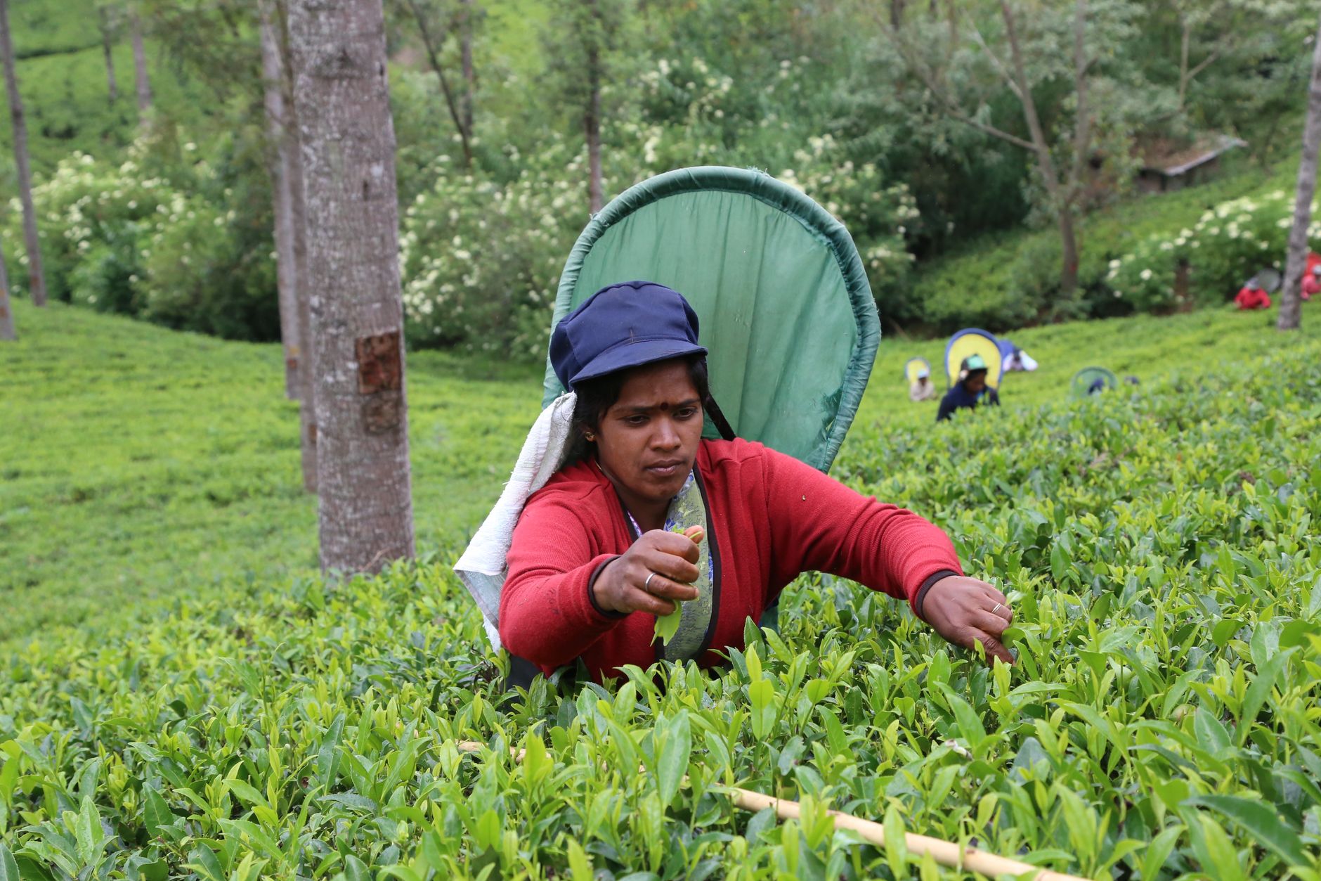
This is Sri Lanka's tea country, and the industry shapes everything here — the landscape, the economy, the daily rhythms. A guided walk through a working factory, ending with a tasting, takes about half an hour and costs almost nothing. Give the place at least two full days.
How Nuwara Eliya came to be
Dr. John Davy reached this plateau in 1818 and noted its unusually cool climate. It was Sir Edward Barnes, Governor from 1824 to 1831, who began opening it up — cutting roads, building shelters. The British explorer Samuel Baker established a working farm here in 1846, making it a functioning hill retreat rather than just a surveyor's note, though he closed the enterprise and left in 1866.
The town's civic bones were laid in the decades that followed. Governor William Gregory drained a swamp to create what is now Gregory Lake in his tenure from 1872 to 1877. The Hill Club was built in 1876 by British planters. The golf club opened in 1889, the post office — red brick, Tudor-style, clock tower — dates to 1894. Holy Trinity Church was consecrated in 1852, St Xavier's took ten years to complete after work began in 1838. Victoria Park was named in 1897 to mark Queen Victoria's Diamond Jubilee.
Who and what shaped it
People who shaped it
Landmark buildings
See Nuwara Eliya in motion
Plan your visit
On the map
When to go
Temperatures hover around 16°C year-round, but January nights can fall to 3°C — pack accordingly. February through April is the driest window, with the most reliable sunshine; October through December brings heavy rain and is worth avoiding.
Right now
Background & history adapted from Wikipedia (CC BY-SA) · specs from Wikidata (CC0) · weather from Open-Meteo · map data © OpenStreetMap contributors · photos from Wikimedia Commons / Unsplash with per-image credit. No third-party reviews or social posts reproduced.