
Nubian Desert
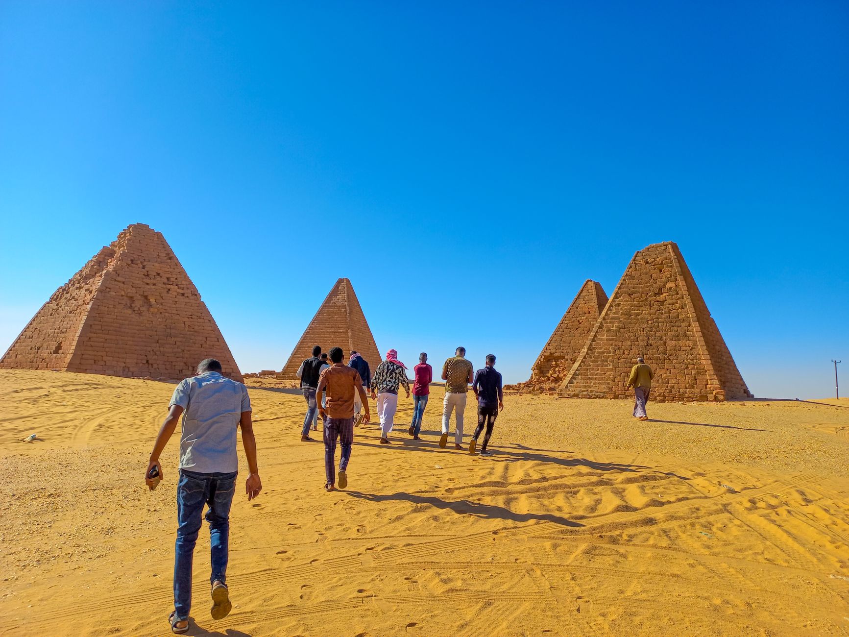
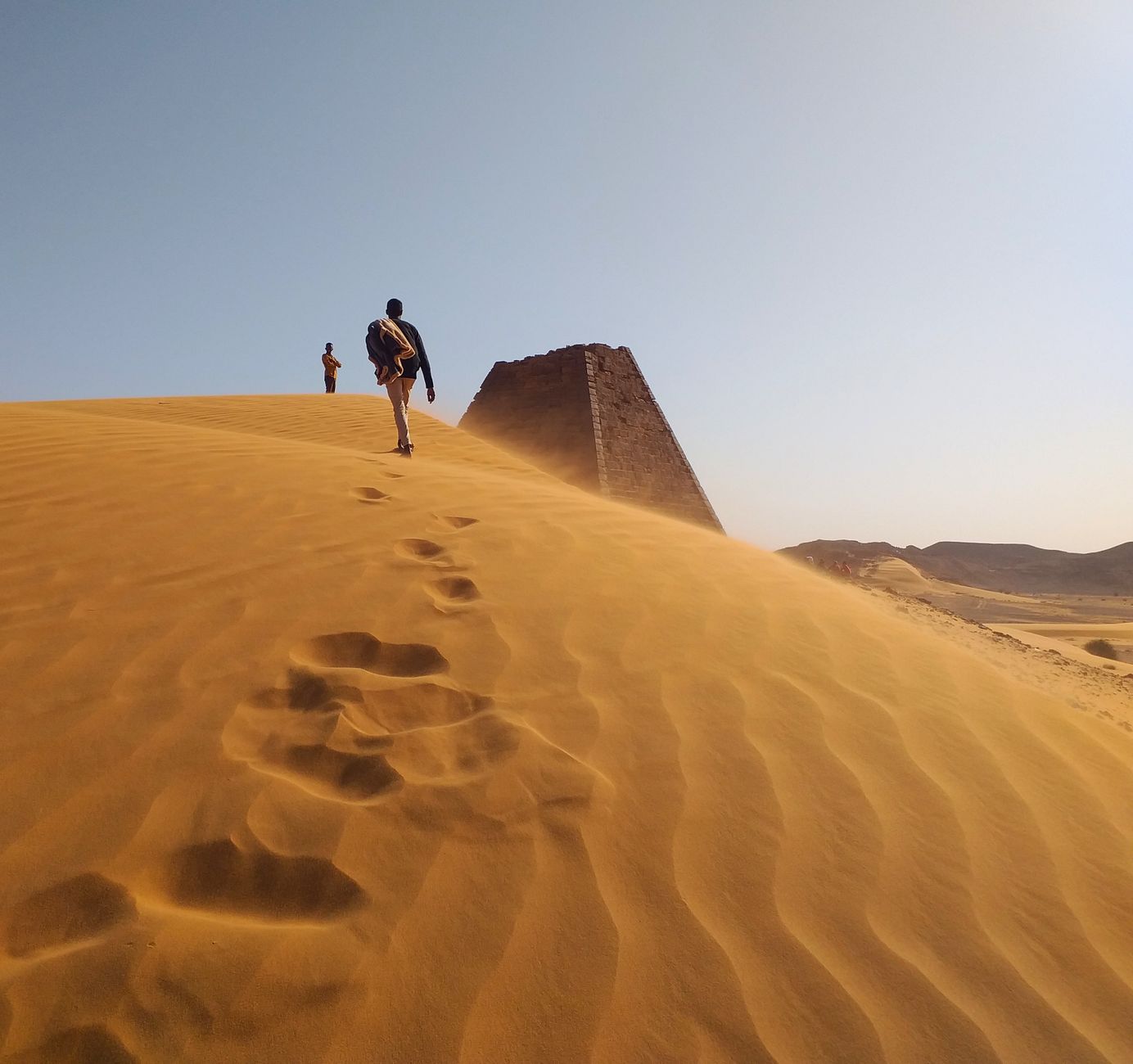
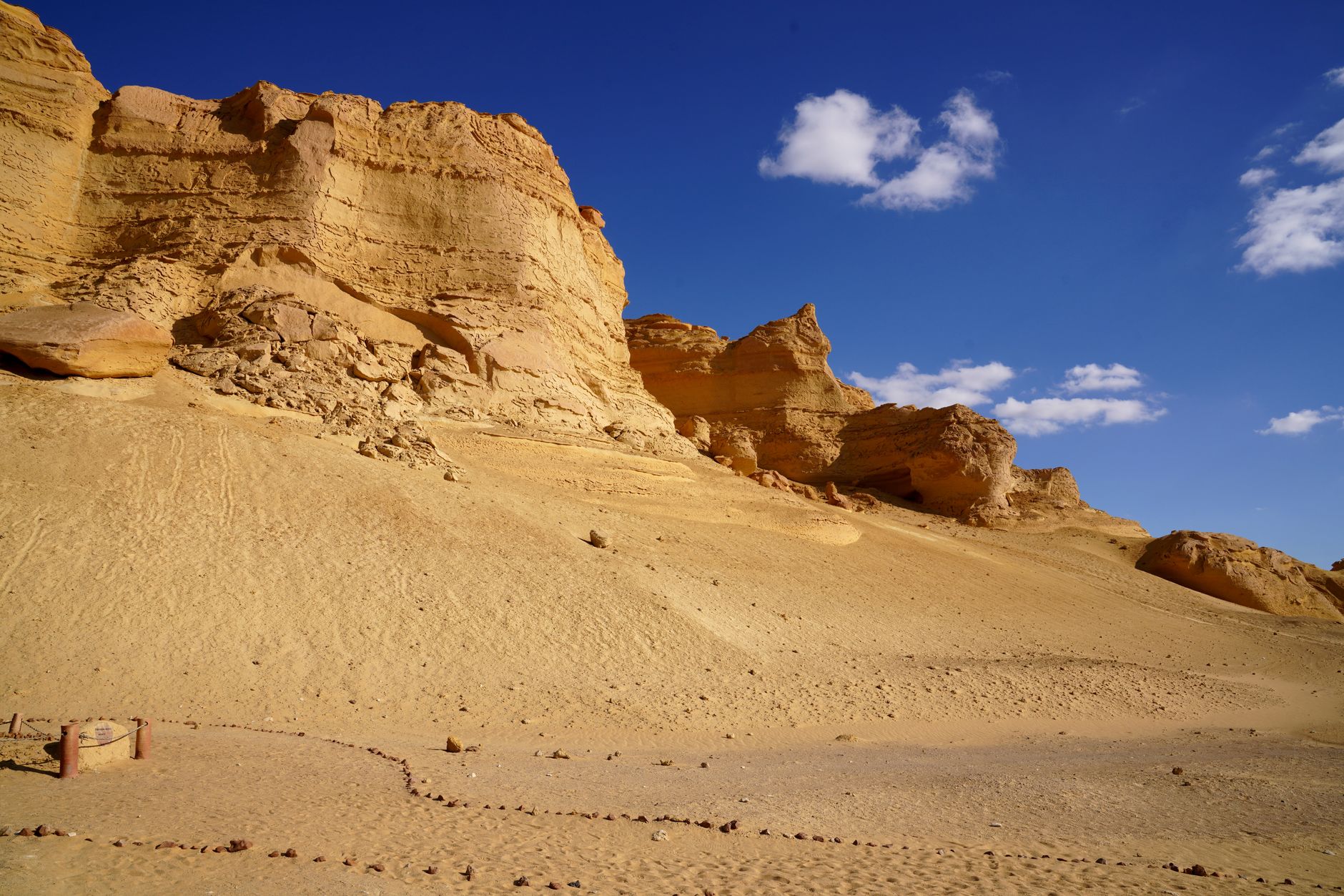
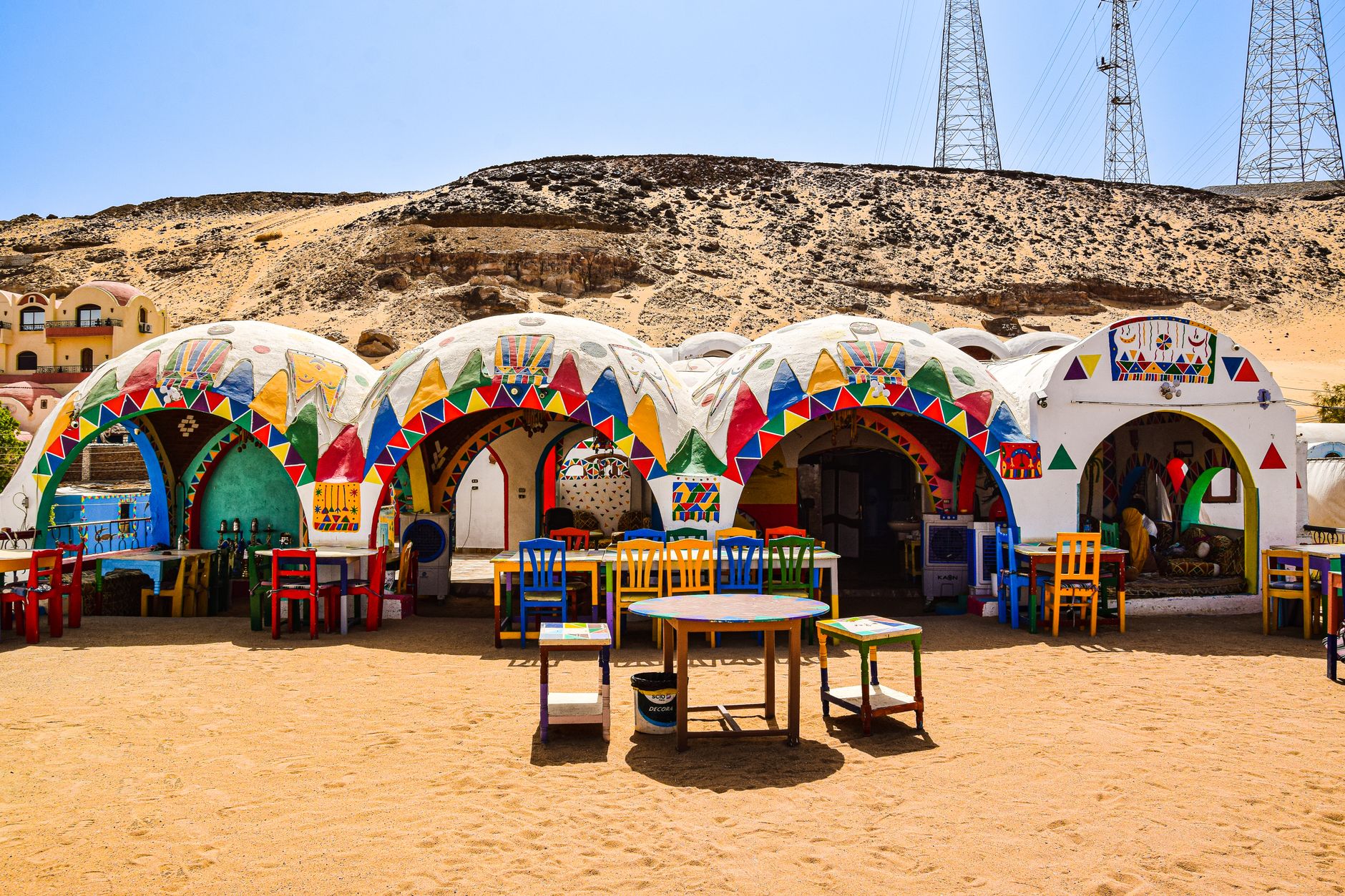
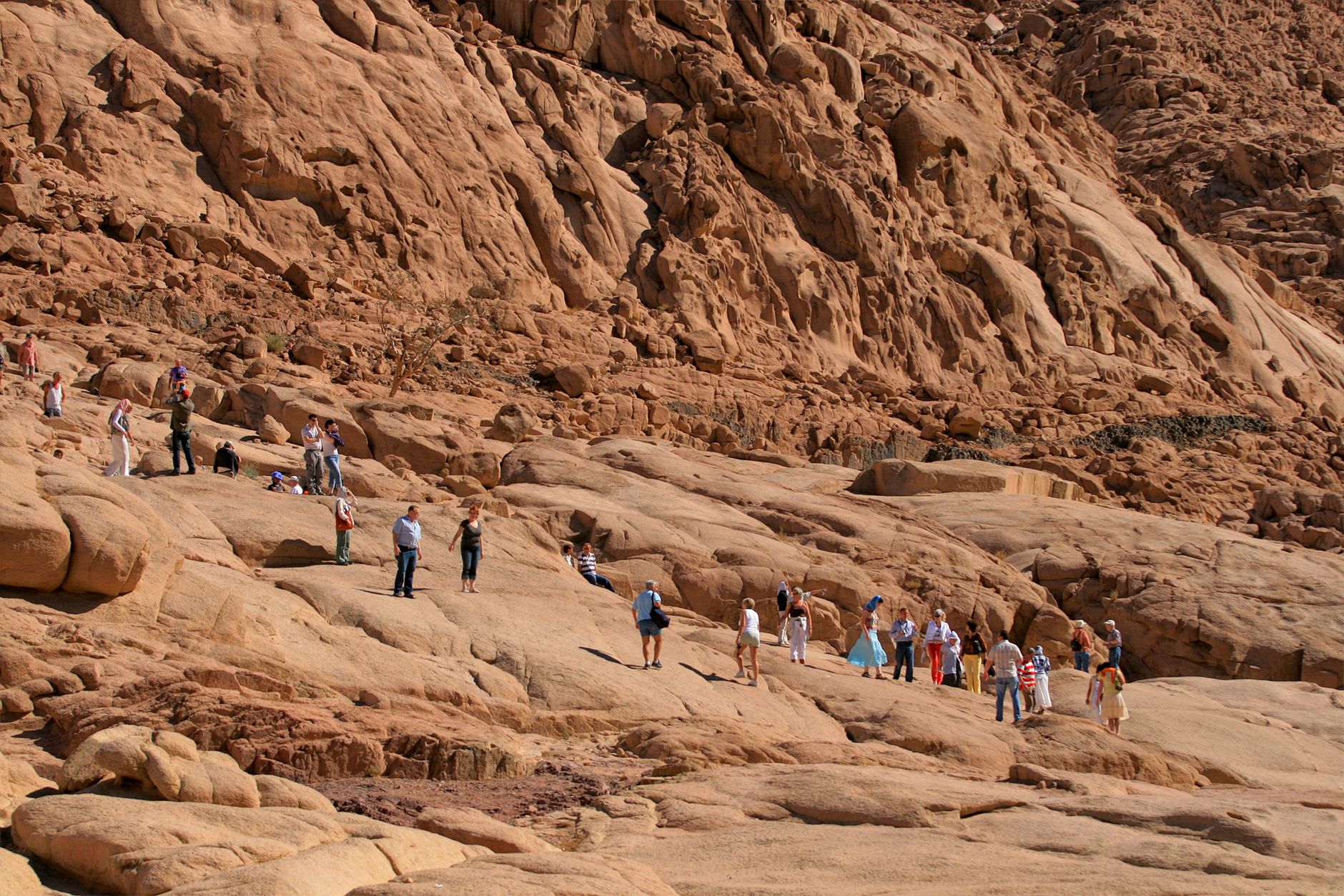
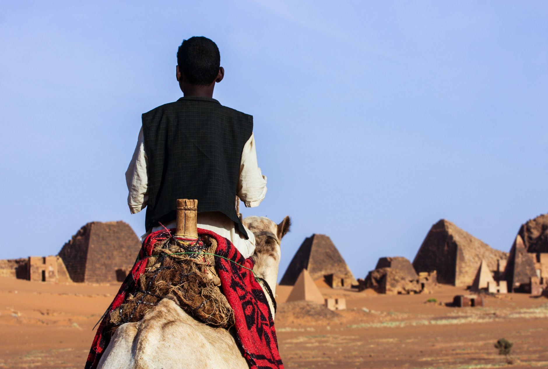
The Nubian Desert is one of the driest places on earth — annual rainfall rarely clears 130 mm, and in some years it doesn't come at all. What it offers instead is a landscape of extraordinary scale: sandstone plateaus, ancient gold-mine gorges, and the Nile cutting through it all like a rumour of another world. This is expedition territory, not a weekend itinerary. There are no luxury hotels, almost no tourist infrastructure, and more than a thousand kilometres of off-road track between the landmarks that matter.
What draws people here — and it does draw them, repeatedly — is the weight of what happened in this desert. The Nubian pharaohs who ruled Egypt, the pyramids that outnumber Egypt's own, the sacred mountain where Amun was said to live. The desert holds all of it quietly, without ceremony.
💛 What travellers fall for
People who've crossed the Nubian more than once tend to say the same thing: go slower than you planned. The village of Abri, a dusty stop on the eastern Nile bank, keeps coming up as a base — from there, Sai Island and the temple of Soleb are manageable in a day or two. Camp gear matters more than any other single decision you'll make.
How Nubian Desert came to be
People moved into Nubia from the Sahara around 5000 BC, settling as pastoralists along the Nile before urban centres began to form around 2500 BC. The Kingdom of Kush emerged between 1070 BC and 350 CE, and around 750 BC its rulers did something Egypt had not seen before: the Kushite kings of the 25th Dynasty crossed north and became pharaohs. King Piye led the conquest; Taharqa, reigning in the seventh century BC, became the dynasty's most celebrated figure.
After Kush collapsed — its capital Meroë taken by the kingdom of Axum shortly after 300 CE — the region shifted. Christianity moved south from Egypt into Nubia; by 540 CE, the Byzantine emperor Justinian had ordered the last pagan temple in the area, the Temple of Isis at Philae near Aswan, to close. A later Nubian state, centred on Dunqulah, held power from the sixth to fourteenth centuries before Arab conquest, and Egypt absorbed the region in 1820–22.
Who and what shaped it
People who shaped it
Landmark buildings
See Nubian Desert in motion
Plan your visit
On the map
When to go
December and January are the only months that don't demand serious heat management — clear days around 25°C, cold nights. Spring brings the khamsin, a southerly wind that can hit 140 km/h and fill the air with sand for days; summer temperatures exceed 48°C and are effectively off-limits.
Right now
Background & history adapted from Wikipedia (CC BY-SA) · specs from Wikidata (CC0) · weather from Open-Meteo · map data © OpenStreetMap contributors · photos from Wikimedia Commons / Unsplash with per-image credit. No third-party reviews or social posts reproduced.