
North Sea Coast
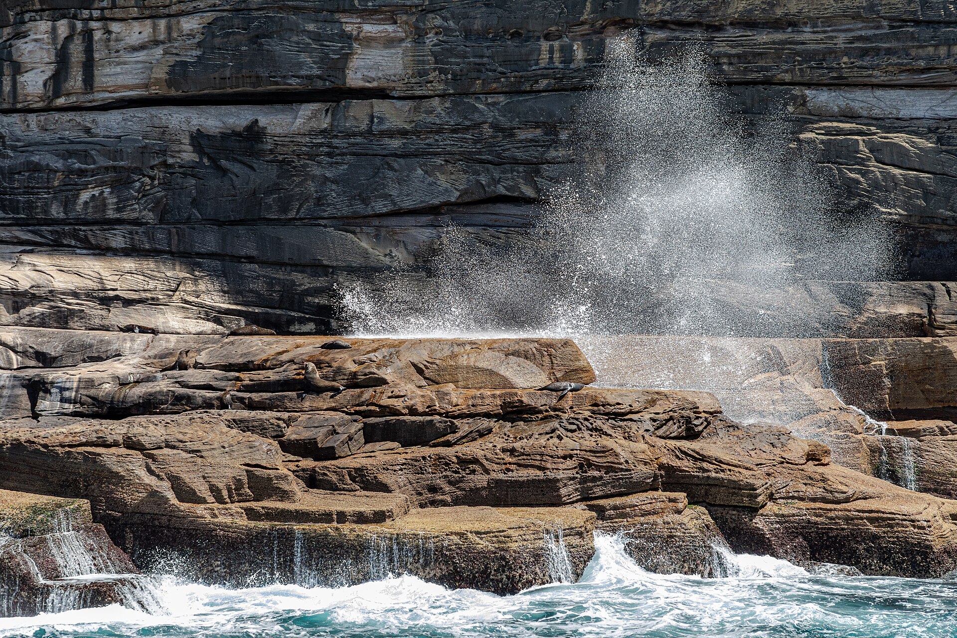
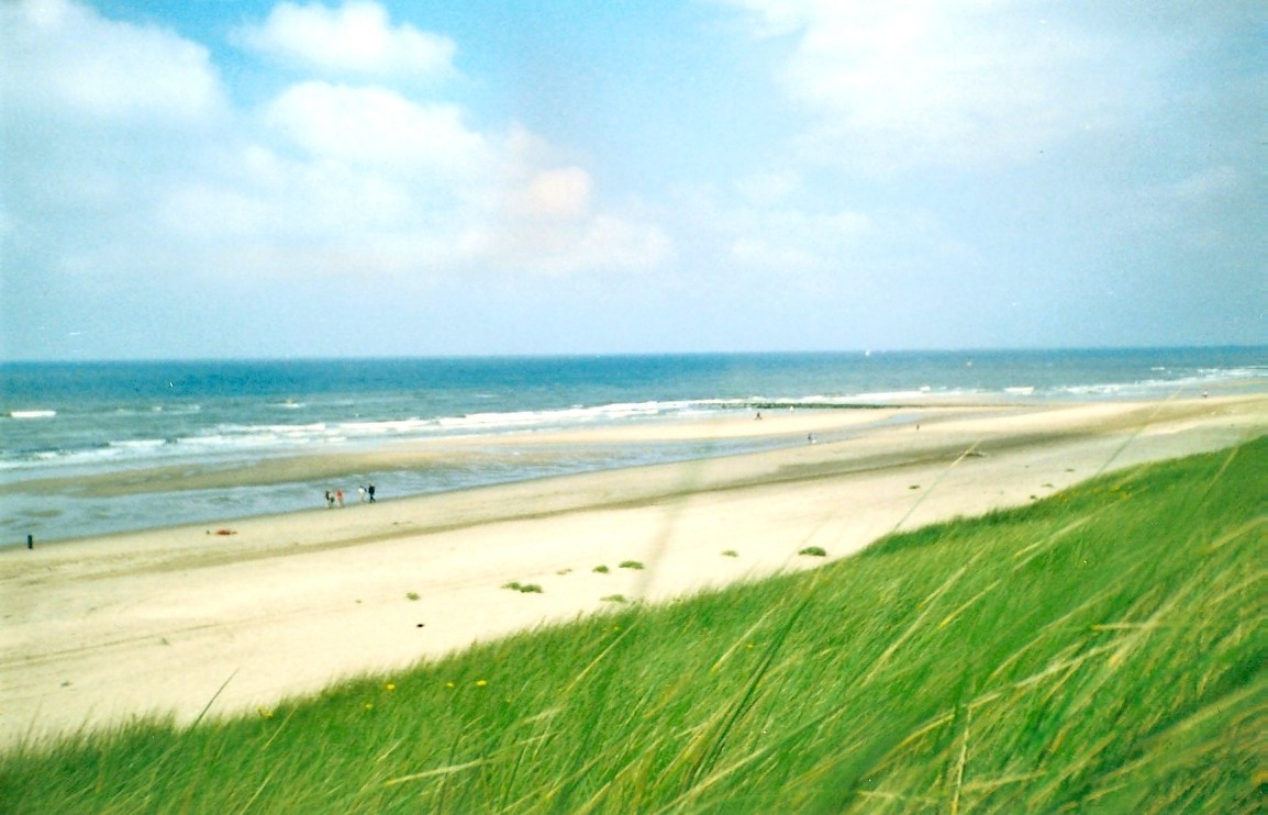
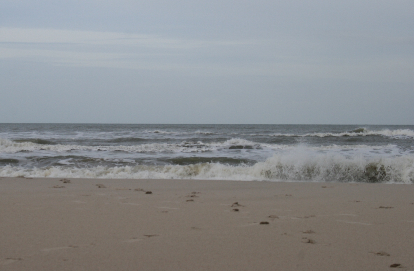
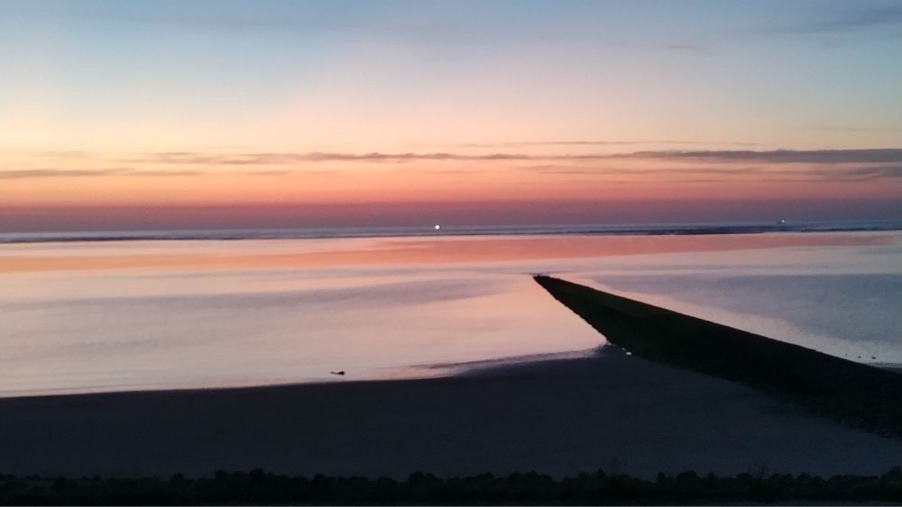
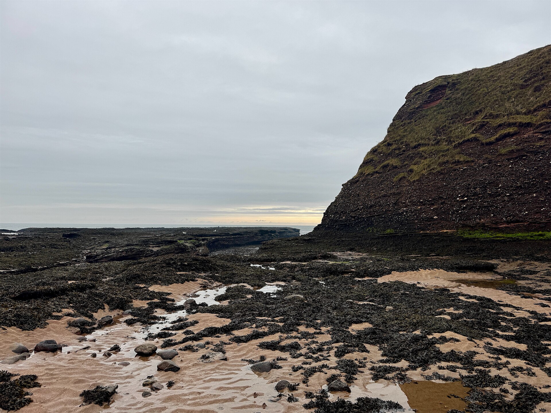
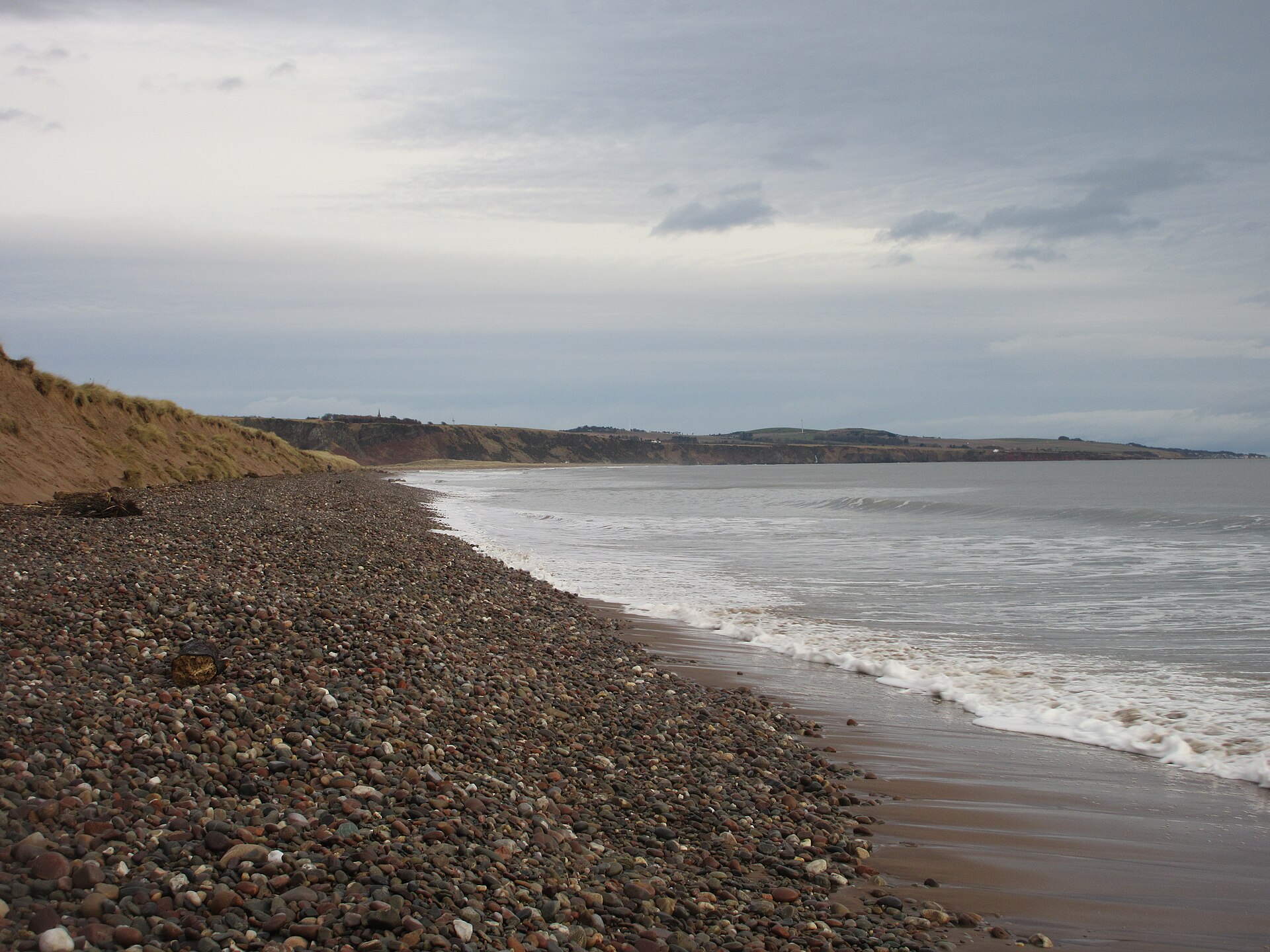
Stand on the beach at St. Peter-Ording and you'll notice the houses behind you are raised seven metres into the salt air on wooden stilts — the only structures of their kind on the entire German coast. That detail tells you something about this stretch of the North Sea: the land here is negotiated, not owned. Tides dictate the terms.
The coast runs through Schleswig-Holstein and Lower Saxony, taking in the Wadden Sea's UNESCO-listed mudflats, the ten low-lying Halligen islands that flood with the tides, the East Frisian island chain, and Germany's sole high-seas island, Heligoland, with its red sandstone cliffs rising from open water.
How North Sea Coast came to be
Pliny the Elder wrote about this coastline in the first century CE, when Frisians lived under loose Roman influence before Angles and Saxons arrived and the Franks eventually brought Christianity. The sea itself has always been the main actor: on 17 February 1164, a storm tide known as the Julianenflut reshaped the coast so dramatically that the Jadebusen bay began to form from what had been dry land.
Through the medieval period, the North Sea was the engine of one of Europe's most consequential trading networks. Hamburg and Bremen anchored the Hanseatic League, whose merchant routes stretched from Bruges to Tallinn. After World War II, the name 'Deutsches Meer' was quietly retired in favour of 'Nordsee' — a small linguistic step away from the nationalism that had attached itself to the old name.
Who and what shaped it
Landmark buildings
See North Sea Coast in motion
Plan your visit
On the map
When to go
Summers are mild rather than hot, typically 15–25°C with a persistent sea breeze and occasional sharp showers; late July and August are the warmest weeks for beach days. Winters are damp, grey and mostly above freezing on the coast, with more sleet than snow and a wind that makes the temperature feel lower than it reads.
Right now
Background & history adapted from Wikipedia (CC BY-SA) · specs from Wikidata (CC0) · weather from Open-Meteo · map data © OpenStreetMap contributors · photos from Wikimedia Commons / Unsplash with per-image credit. No third-party reviews or social posts reproduced.