
North Luangwa National Park
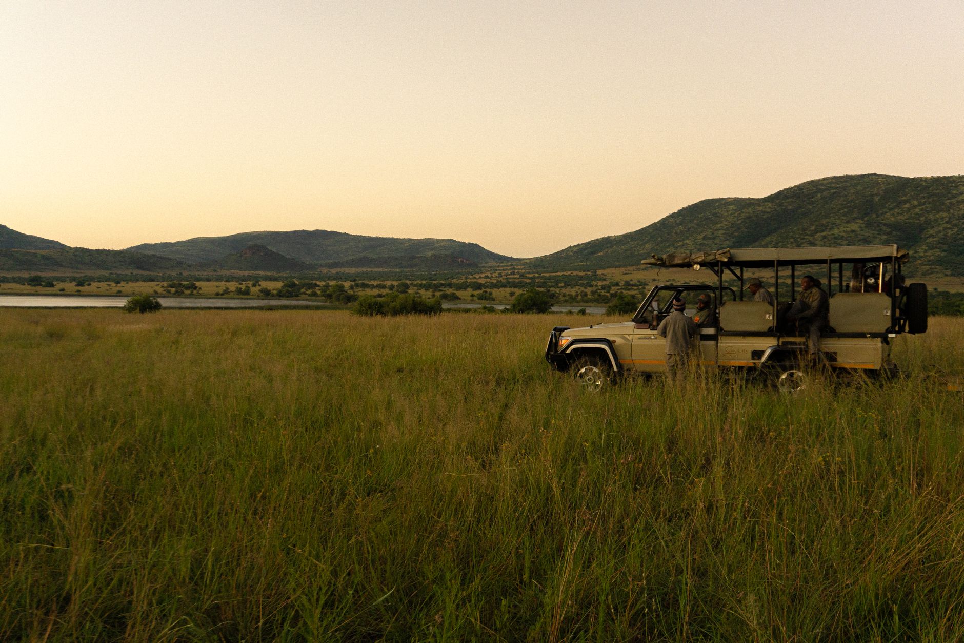
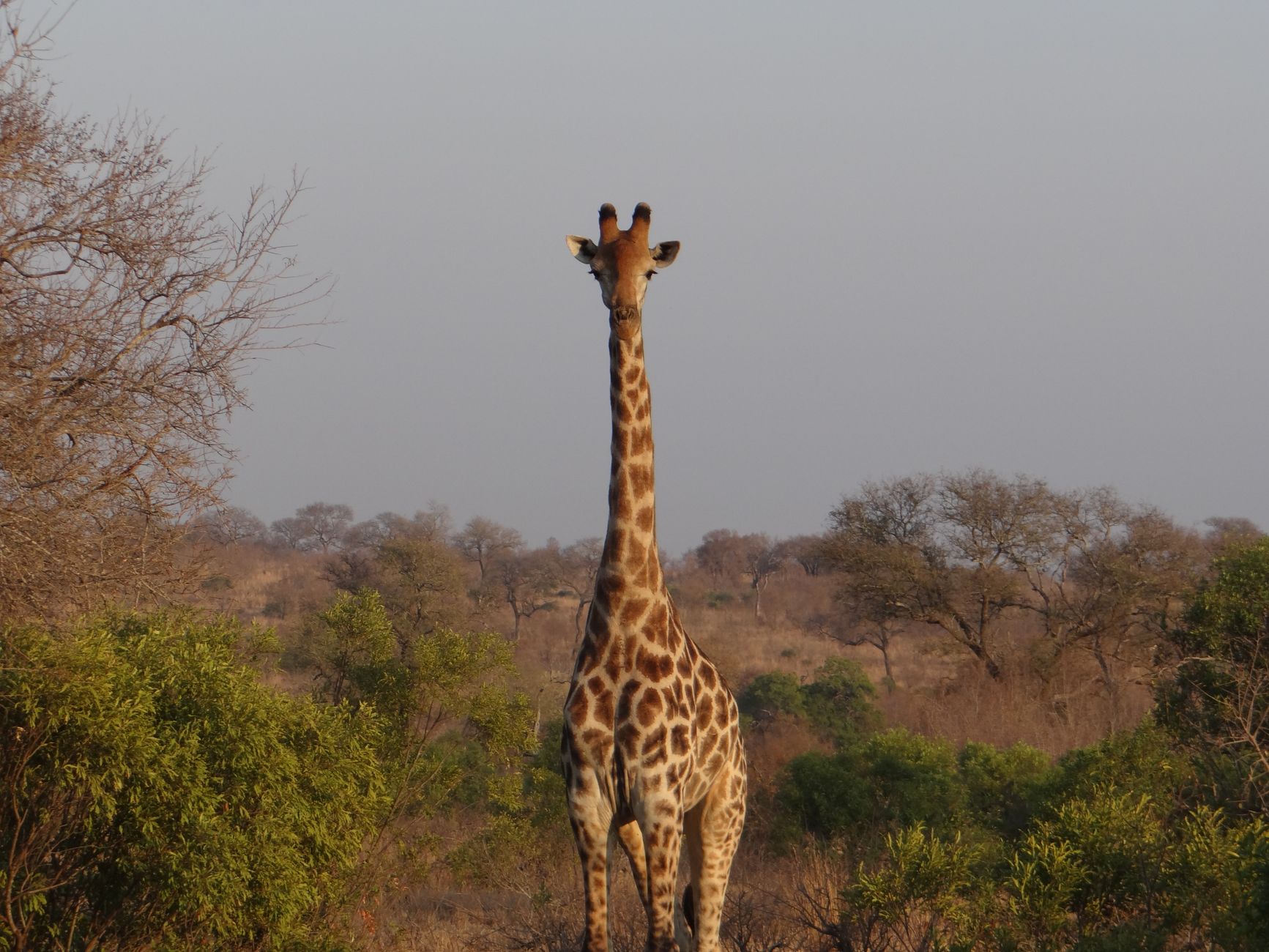

North Luangwa is the Luangwa Valley's less-visited half — intentionally so. The park covers 4,636 km² of miombo woodland, floodplain and escarpment, and its guardians have worked hard to keep it that way. You enter on foot, with a guide, and the landscape opens up accordingly: the Mwaleshi River running clear over sand and rock, buffalo herds that can stretch a kilometre wide, the Muchinga Escarpment holding the western edge like a wall.
There are no vehicle-based game drives inside the core wilderness zone. The pace here is walking pace — which means you notice the smaller things, the tracks in the mud, the way a herd reacts before you do. Camps are small and seasonal, access is genuinely difficult, and the park has earned its place on the IUCN Green List.
How North Luangwa National Park came to be
The land was gazetted as a game reserve in 1938 and upgraded to national park in 1972, the same year it was declared a wilderness area — a designation that limited infrastructure and personnel by design. That minimalism, combined with chronic underfunding through the 1980s and 1990s, left the park exposed: poaching devastated both elephant and black rhino populations during those decades.
The turnaround began in 1986 with the North Luangwa Conservation Programme, a partnership between the Frankfurt Zoological Society and Zambia's Department of National Parks and Wildlife. The relationship was formalised in a 20-year Collaborative Management Partnership Agreement signed in 2021, and in 2022 the park was admitted to the IUCN Green List of protected and conserved areas — a recognition of what sustained, unglamorous conservation work can produce.
Who and what shaped it
Landmark buildings
See North Luangwa National Park in motion
Plan your visit
On the map
When to go
June and July are cool and dry — days around 26°C, nights dropping to 10°C or below, so bring layers for early morning walks. By September the heat builds toward 30°C, and October can push 40°C in the valley. The rains arrive from November and the park closes; the roads become rivers.
Right now
Background & history adapted from Wikipedia (CC BY-SA) · specs from Wikidata (CC0) · weather from Open-Meteo · map data © OpenStreetMap contributors · photos from Wikimedia Commons / Unsplash with per-image credit. No third-party reviews or social posts reproduced.