
Ninh Binh
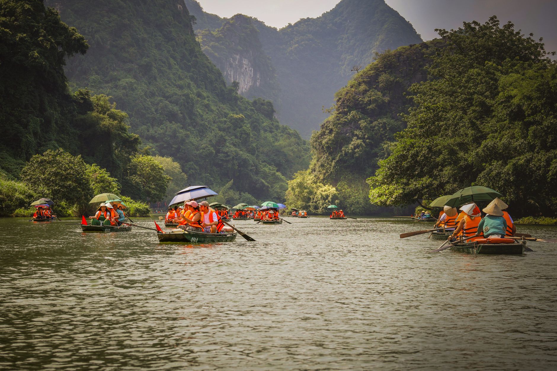
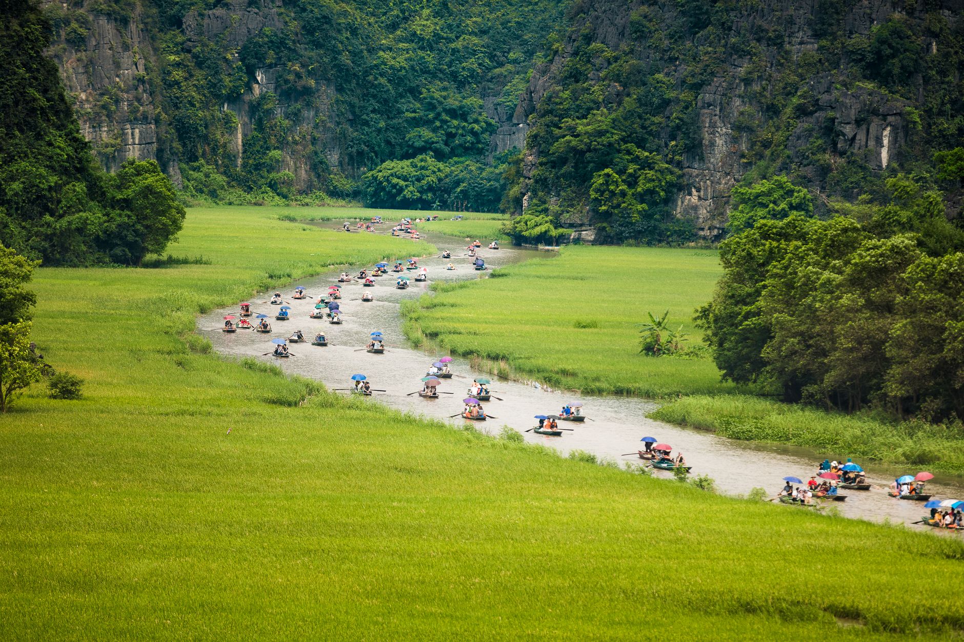
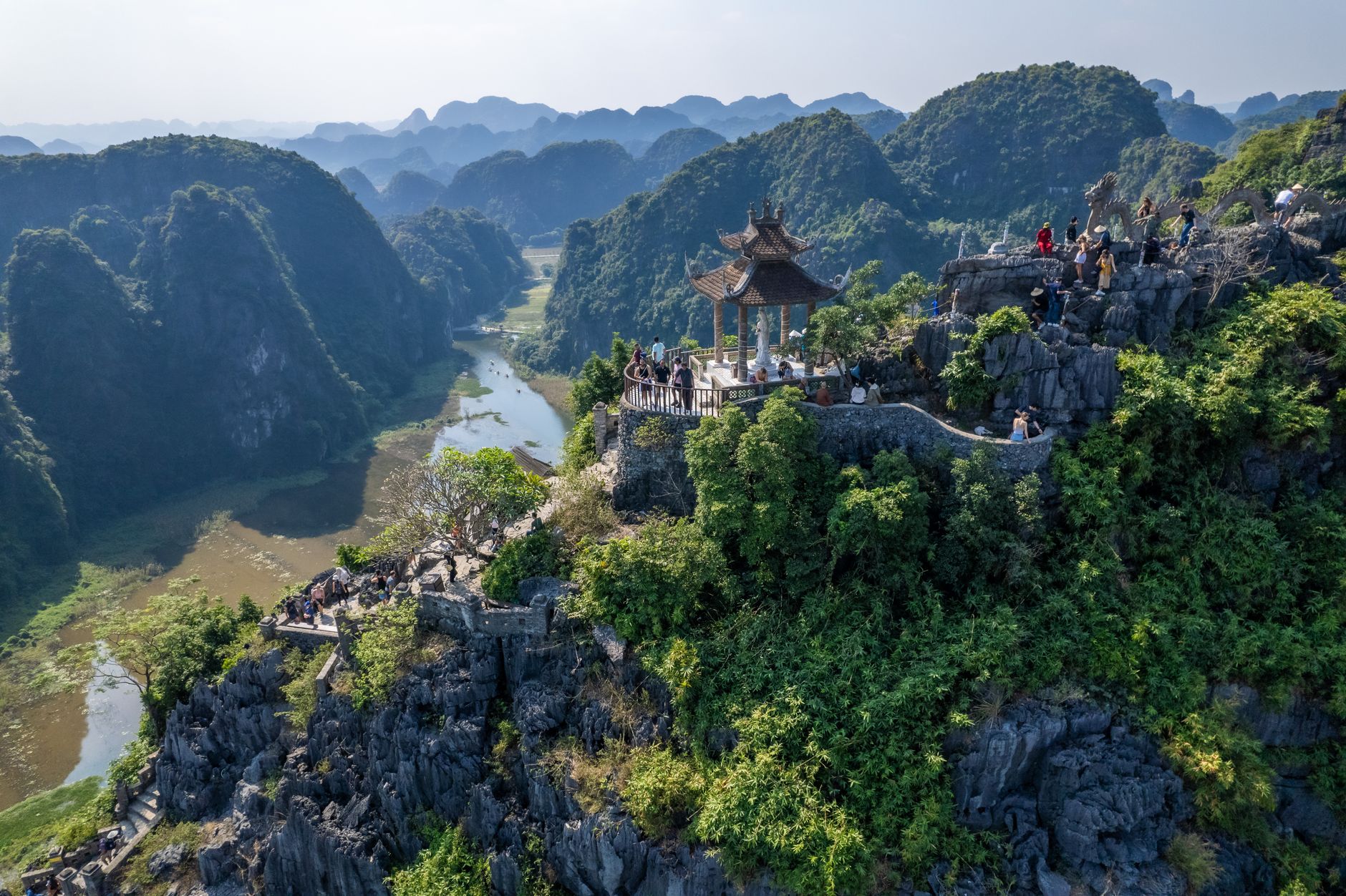
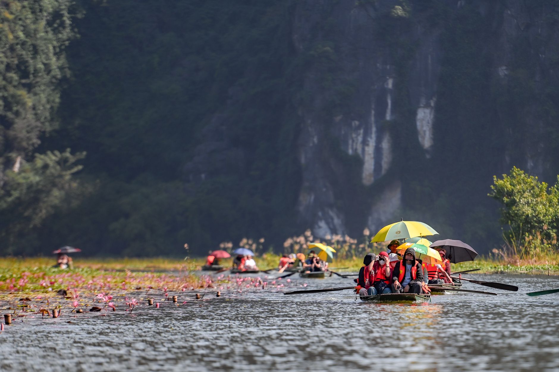
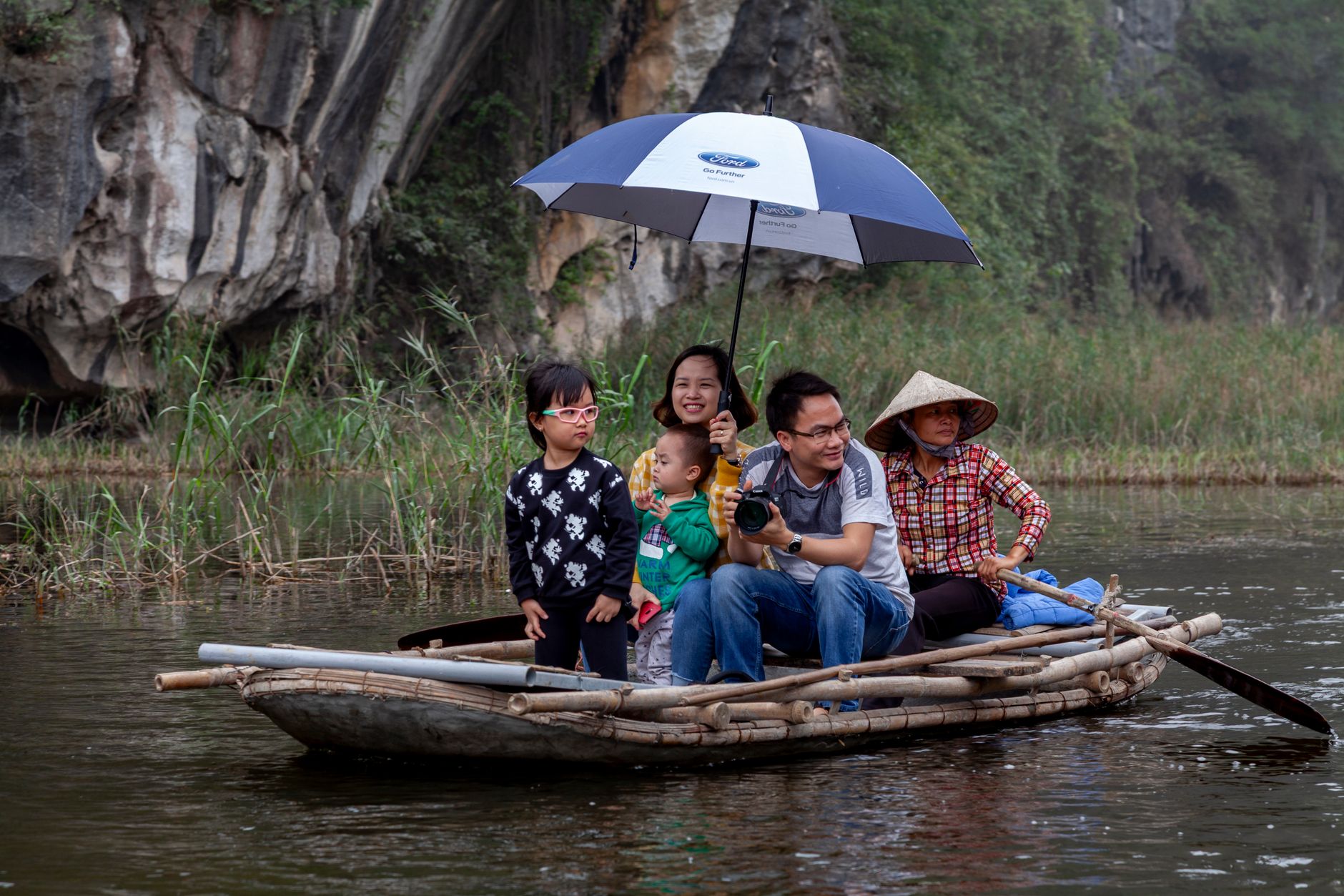
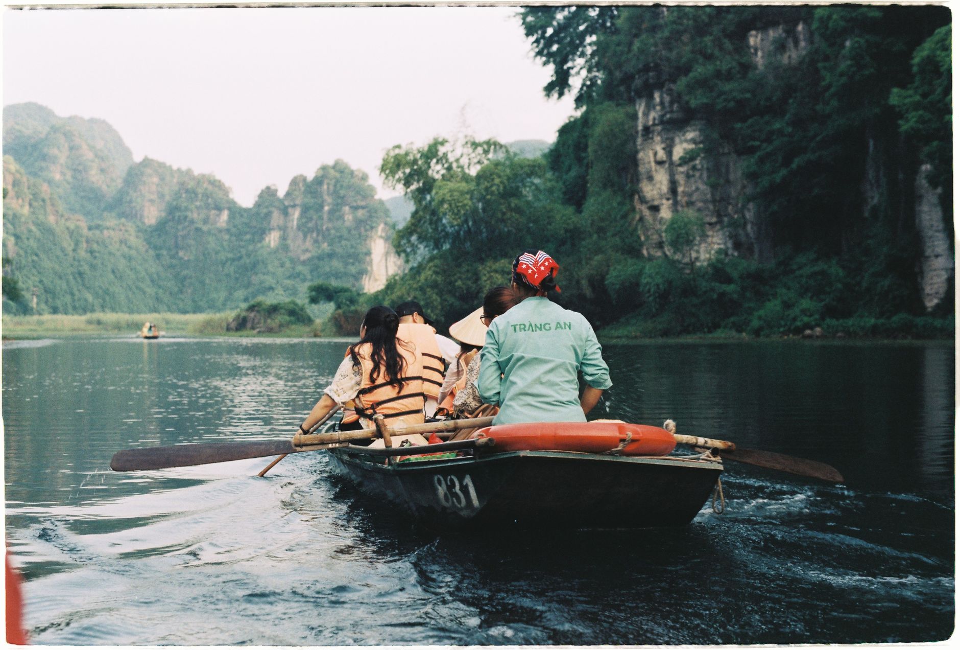
Ninh Binh is where limestone karsts rise straight out of flat rice paddies, the same geology as Ha Long Bay but without the sea — and without the crowds. You move through it mostly by rowboat, a local oarsman sometimes using their feet on the oars while you drift through cave tunnels and past half-submerged temple gates. The region sits about 95 kilometres south of Hanoi, close enough for a day trip but worth considerably longer.
The anchor is Trang An, a UNESCO World Heritage landscape of waterways, cliffs and ancient shrines. Around it: a former imperial capital, Vietnam's first national park, and a Buddhist complex that is, by floor space, the largest in the country.
How Ninh Binh came to be
In 968, a local warlord named Dinh Bo Linh defeated eleven rival factions and unified the country, founding the Dinh dynasty and naming his hometown Hoa Lu as Vietnam's first imperial capital. The city held that status through two dynasties — the Dinh and the Early Le — until 1010, when Ly Cong Uan judged the northern plain of Thang Long more defensible and moved the seat of power to what is now Hanoi.
Hoa Lu never recovered its political weight, but it kept its temples. The two that stand today are 17th-century reconstructions built on the footprints of 11th-century originals, dedicated to Emperor Dinh Tien Hoang and his successor Le Hoan. In 1986, Cuc Phuong — on Ninh Binh's western edge — became Vietnam's first designated national park. The region's profile sharpened again in 2014, when UNESCO added Trang An to the World Heritage list.
Who and what shaped it
People who shaped it
Landmark buildings
See Ninh Binh in motion
Plan your visit
On the map
When to go
Ninh Binh has a subtropical climate: winters are mild and generally dry, making November through March the most comfortable window for boat tours and temple walks. Summers are hot and wet — heavy rain can close some boat routes but also turns the paddies an almost implausible shade of green.
Right now
Background & history adapted from Wikipedia (CC BY-SA) · specs from Wikidata (CC0) · weather from Open-Meteo · map data © OpenStreetMap contributors · photos from Wikimedia Commons / Unsplash with per-image credit. No third-party reviews or social posts reproduced.