
Nicosia
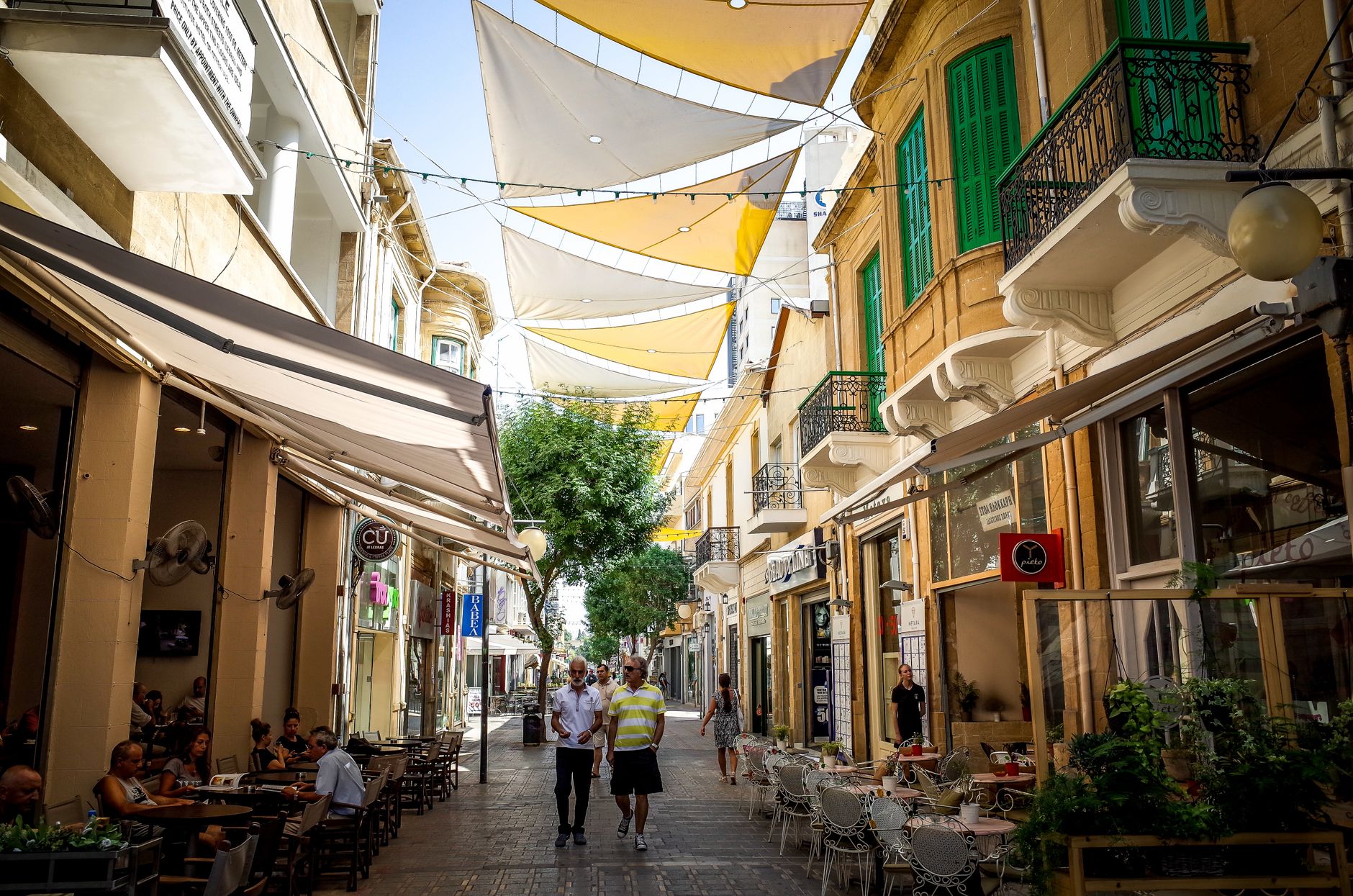
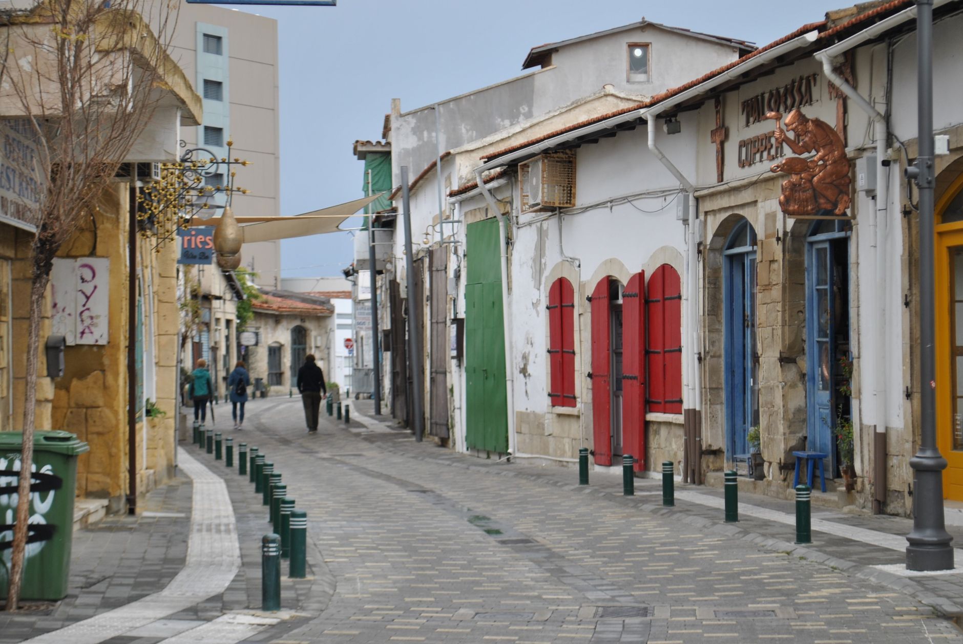
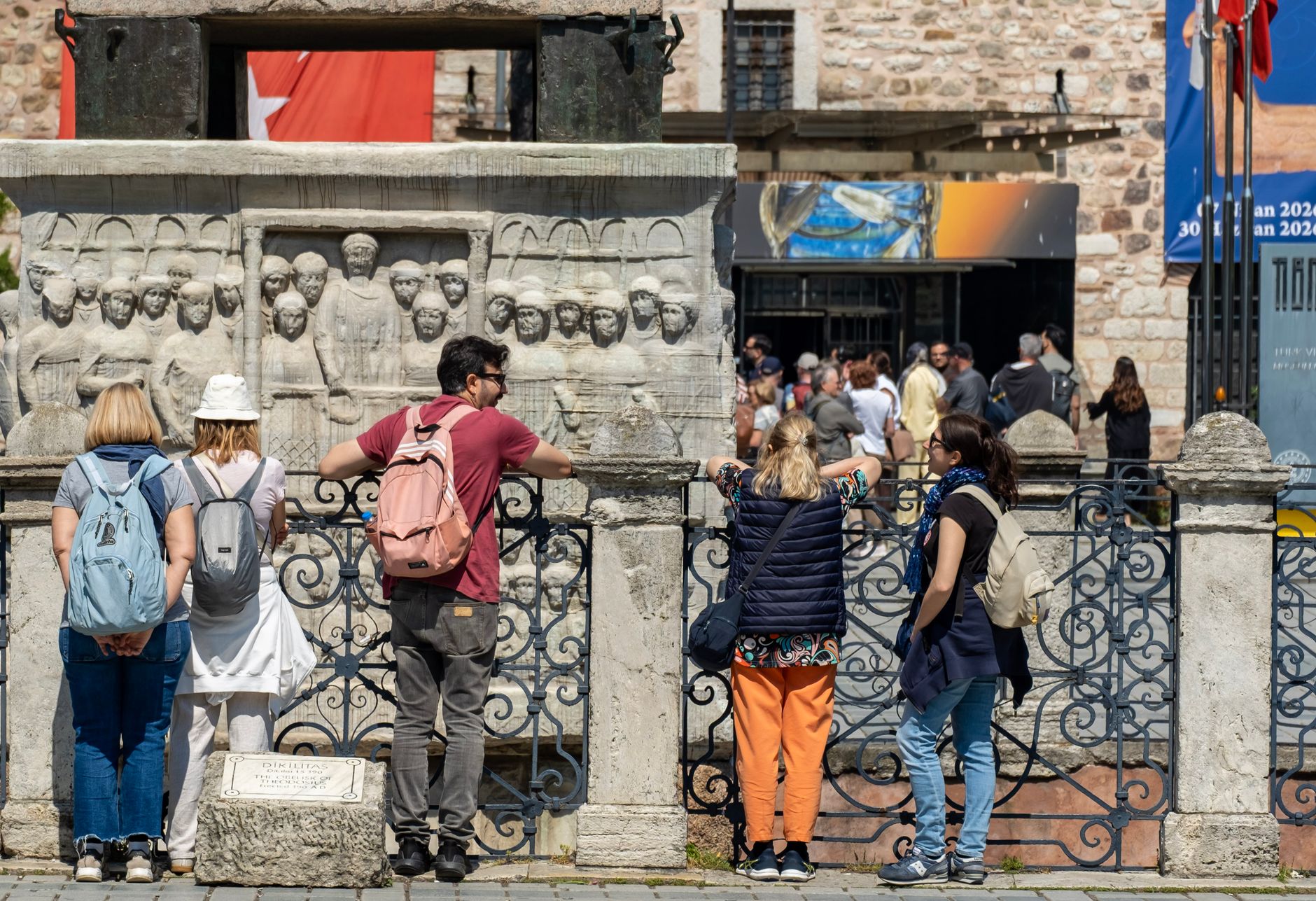
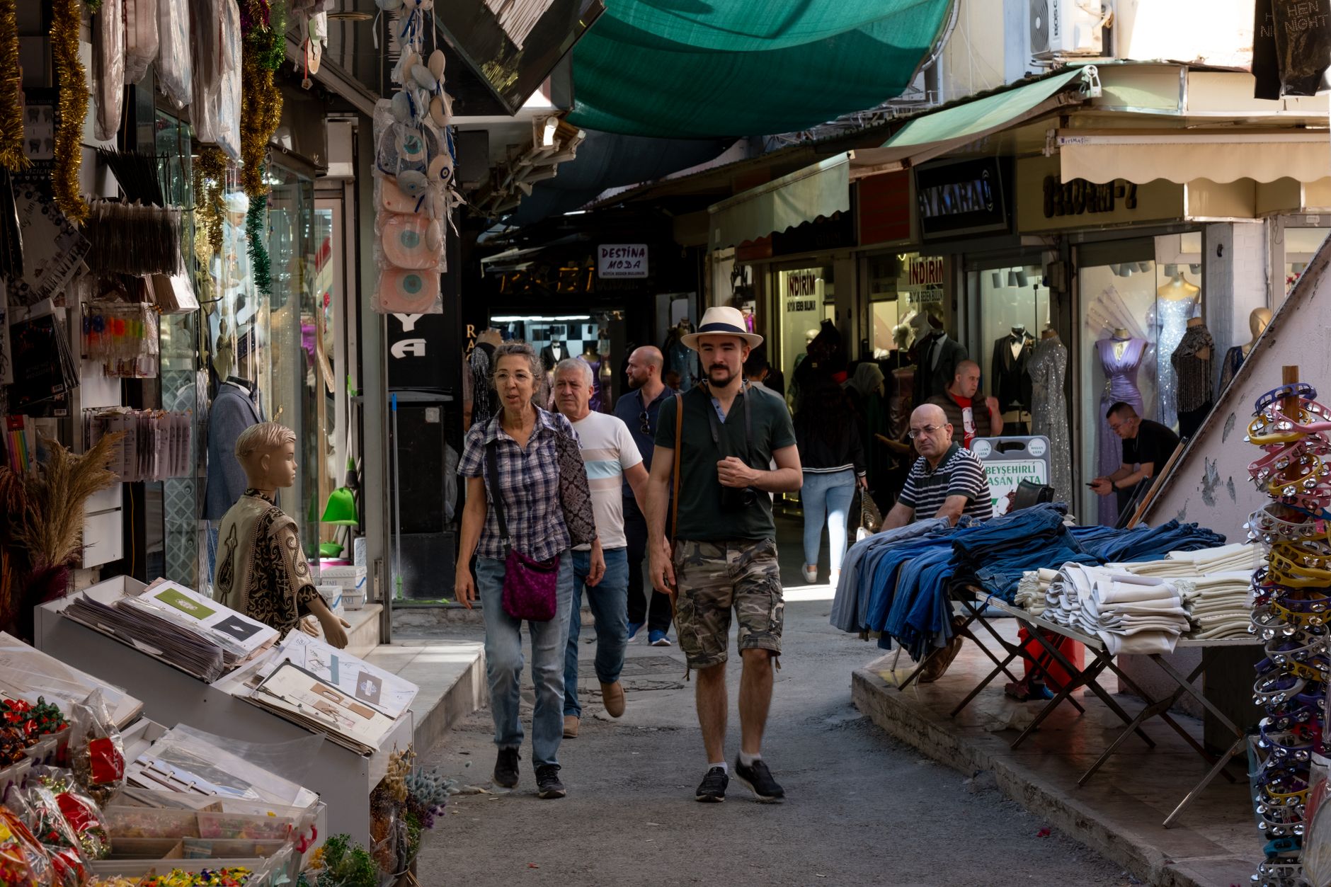
Nicosia is the only capital city in the world still divided by a live partition line — a fact you register the moment you see the UN buffer zone cutting through the old town, a stripe of abandoned buildings and overgrown lots separating two functioning states. The city was already old when the Lusignan crusaders made it their seat in 1192, and the layers show: Gothic arches converted to minarets, Venetian walls enclosing Ottoman caravanserais, Byzantine frescoes sharing a skyline with minarets.
The south is the Republic of Cyprus; the north, accessible through checkpoints, is administered by Turkish Cyprus. Walking between them in a single afternoon is one of the stranger things you can do in a European capital, and the crossing is open to most passport holders.
How Nicosia came to be
The city started as Ledra, a Bronze Age settlement that had become a Cypriot kingdom by the 7th century BCE. Its modern name is a corruption of Lefkosia, the medieval Greek form. Control passed through Byzantines, Crusaders, Venetians, Ottomans and finally the British — each left architecture. The Venetians compressed the city's walls to a tight 5 km circuit in the 16th century; the Ottomans took it in 1571 after a 40-day siege that left roughly a thousand survivors, then immediately built the Büyük Han caravanserai on the ruins.
The division is more recent. On 30 December 1963, British General Peter Young drew a line in green chinagraph pencil across a city map to halt intercommunal fighting. That line hardened into a permanent border after Turkey's 1974 invasion, and the UN has patrolled the buffer zone ever since.
Who and what shaped it
People who shaped it
Landmark buildings
See Nicosia in motion
Plan your visit
On the map
When to go
Nicosia sits inland on the Mesaoria plain, which makes it hotter and drier than the coast — summer highs regularly exceed 38°C with almost no rain from June through August. Winters are mild but can bring sharp nights; snow is rare but not unheard of in January.
Right now
Background & history adapted from Wikipedia (CC BY-SA) · specs from Wikidata (CC0) · weather from Open-Meteo · map data © OpenStreetMap contributors · photos from Wikimedia Commons / Unsplash with per-image credit. No third-party reviews or social posts reproduced.