
Nha Trang
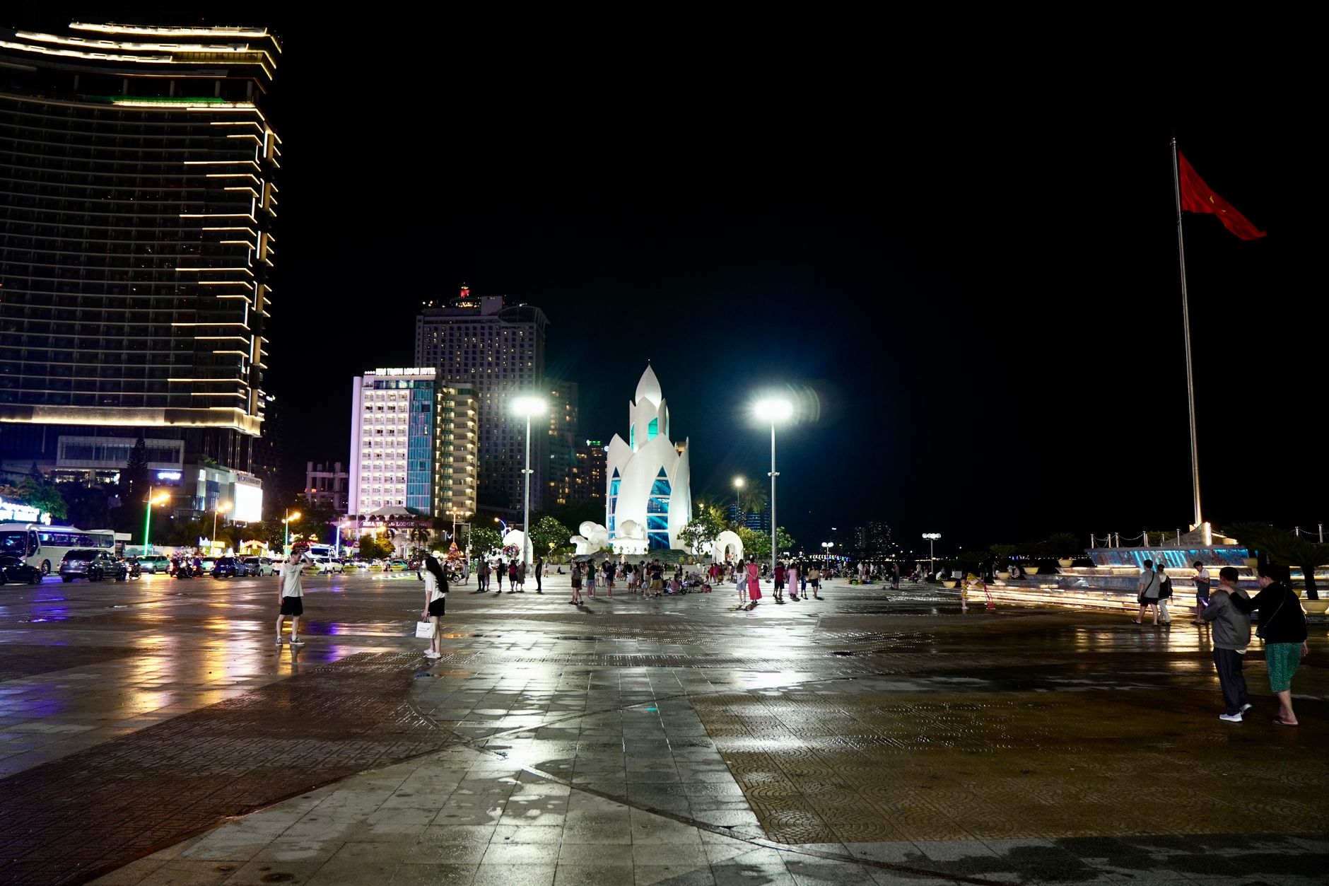
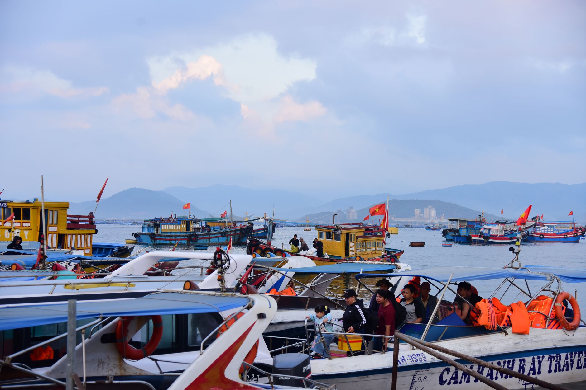
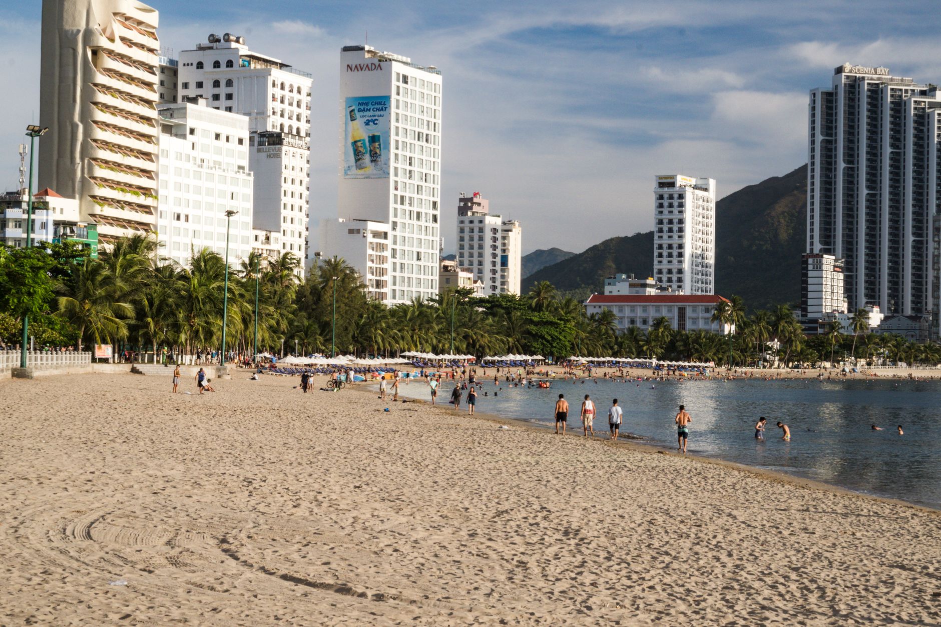
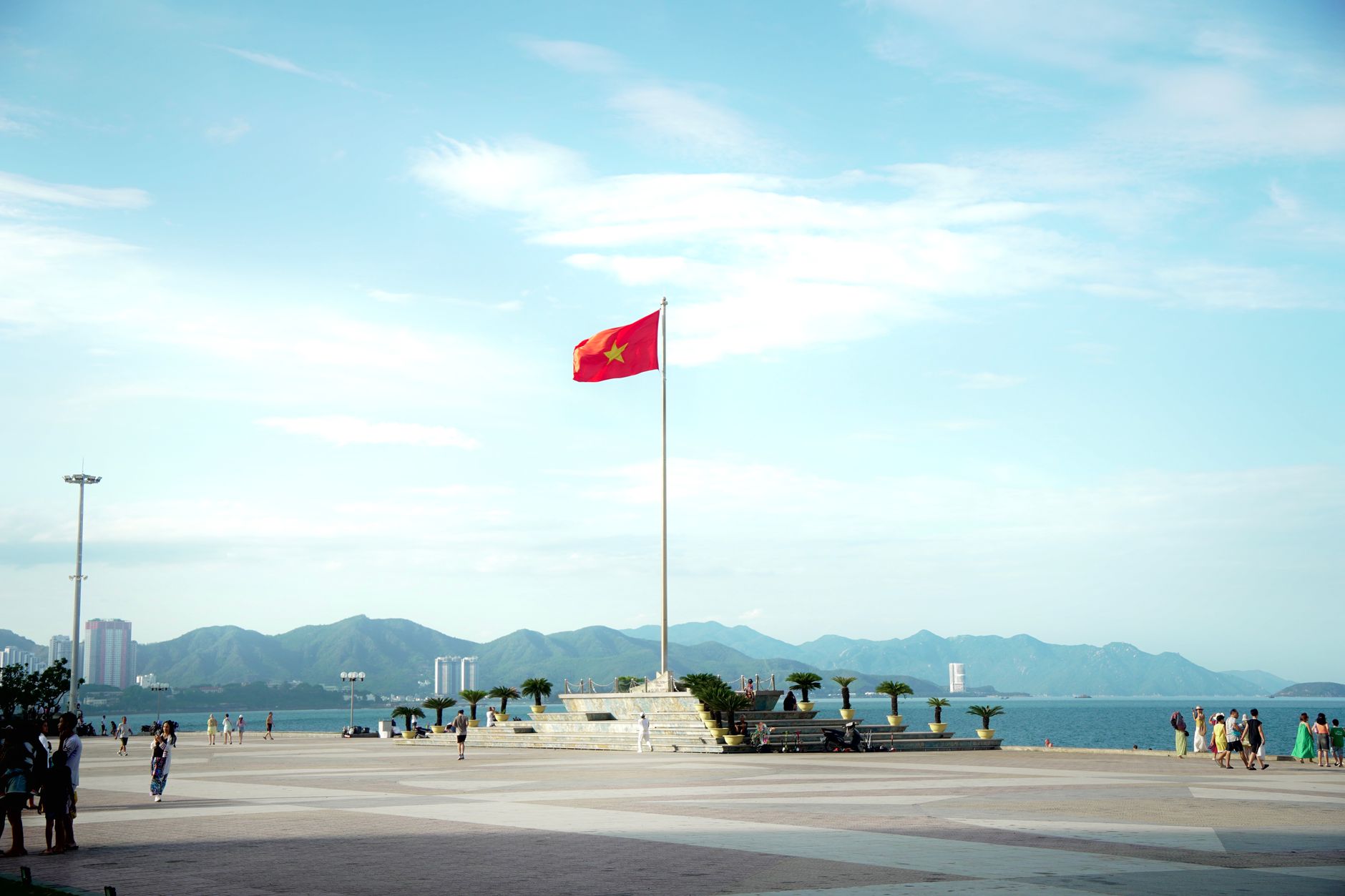
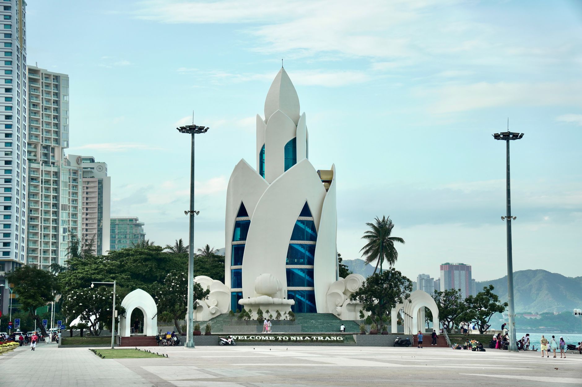
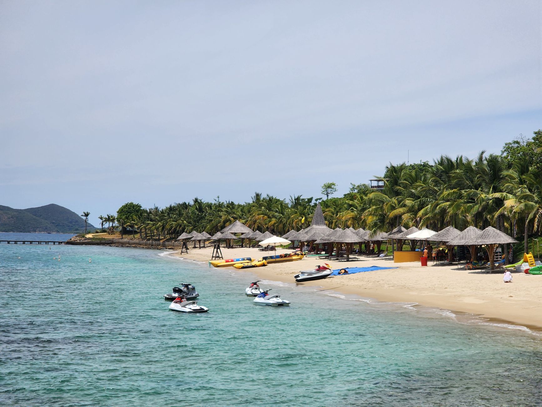
Nha Trang sits where a long arc of pale sand meets a bay scattered with nineteen islands, and the light here in the dry season has a particular quality — sharp, equatorial, turning the South China Sea a shade of blue that photographs always slightly misrepresent. It is Vietnam's most established beach city, which means the infrastructure is good and the crowds are real, but the Cham towers standing on their granite knoll above the Cai River remind you that people have been finding reasons to come here for well over a thousand years.
The city proper is compact enough to navigate without much planning. The beach runs four kilometres along the eastern edge; the cultural sites cluster to the north and up the hill behind the train station. Getting between them rarely takes more than fifteen minutes.
How Nha Trang came to be
Long before it was a beach city, this stretch of coast was Kauthara, a significant site within the Kingdom of Champa — worship here is thought to date to the 2nd century AD. The Po Nagar Cham Towers, built in stone and brick from the 7th century onward after a Javanese raid destroyed an earlier wooden structure in 774, are what remains of that world. They were dedicated to Yan Po Nagar, the goddess held to have founded the Cham land.
For two centuries after Cham rule ended, the area was largely left to wildlife. The French formalised it as a town in 1924, upgraded it in 1937, and left behind a neo-Gothic cathedral on a hill. Vietnam's post-reunification government elevated it to city status in 1977; today around 535,000 people live here, and it serves as the capital of Khánh Hòa Province.
Who and what shaped it
People who shaped it
Landmark buildings
See Nha Trang in motion
Plan your visit
On the map
When to go
The dry season runs January to April — the clearest skies and calmest water, with February averaging just 15 mm of rain. The rainy season peaks hard in October and November (up to 330 mm in November), when the northeast monsoon pushes in; swimming becomes less appealing and some island boats stop running. Temperatures stay warm year-round, rarely below 24°C even in the coolest months.
Right now
Background & history adapted from Wikipedia (CC BY-SA) · specs from Wikidata (CC0) · weather from Open-Meteo · map data © OpenStreetMap contributors · photos from Wikimedia Commons / Unsplash with per-image credit. No third-party reviews or social posts reproduced.