
Ngorongoro Conservation Area
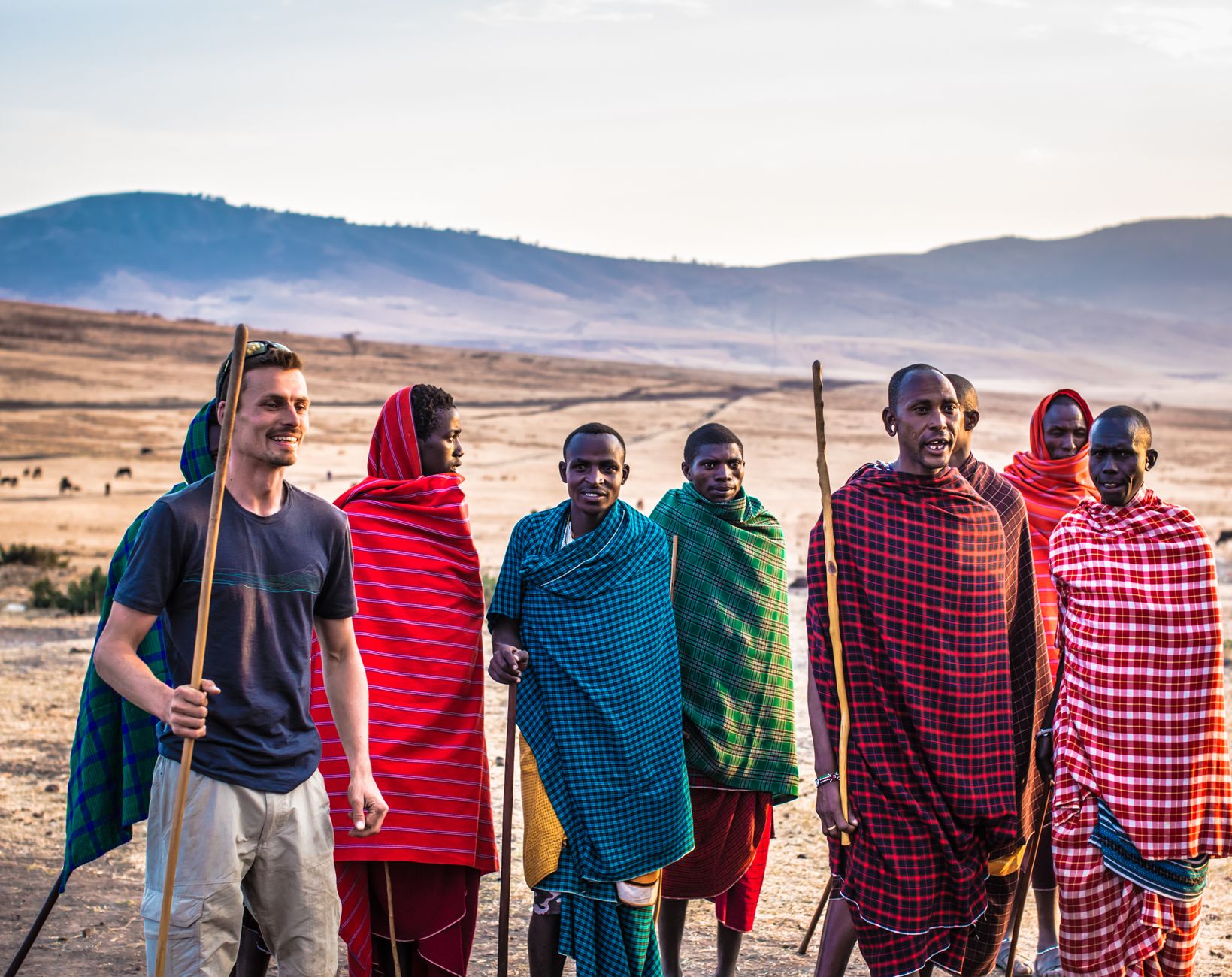
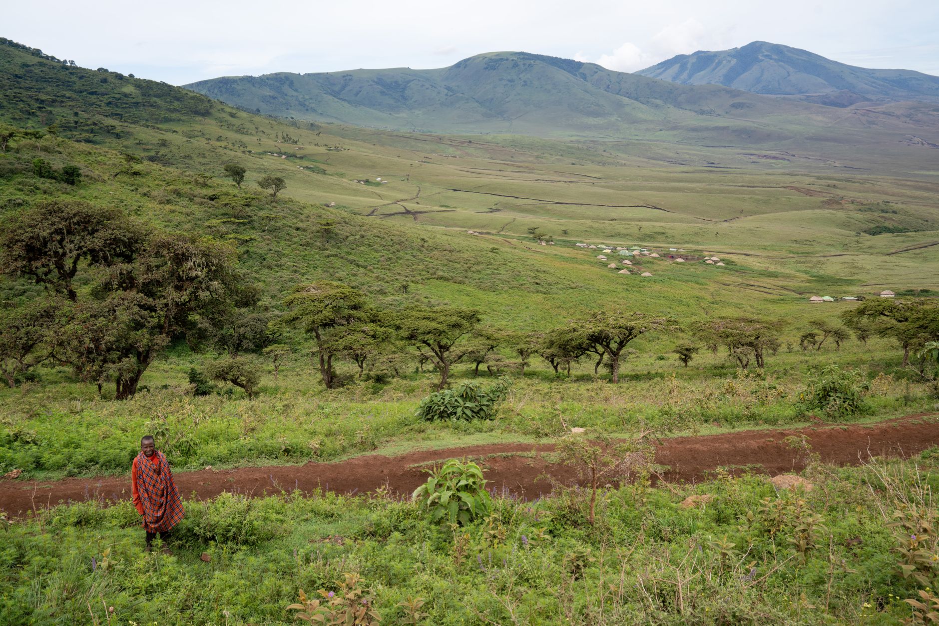
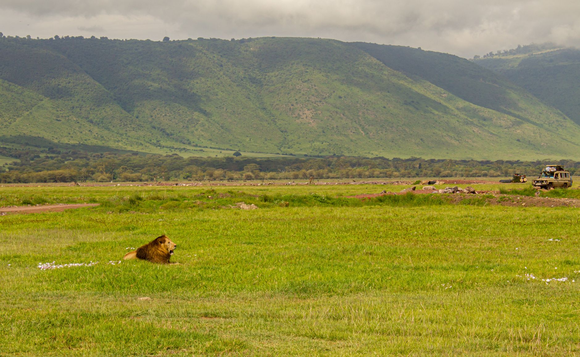
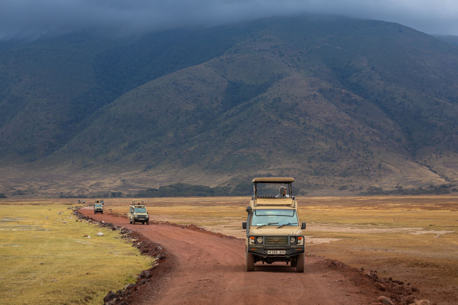
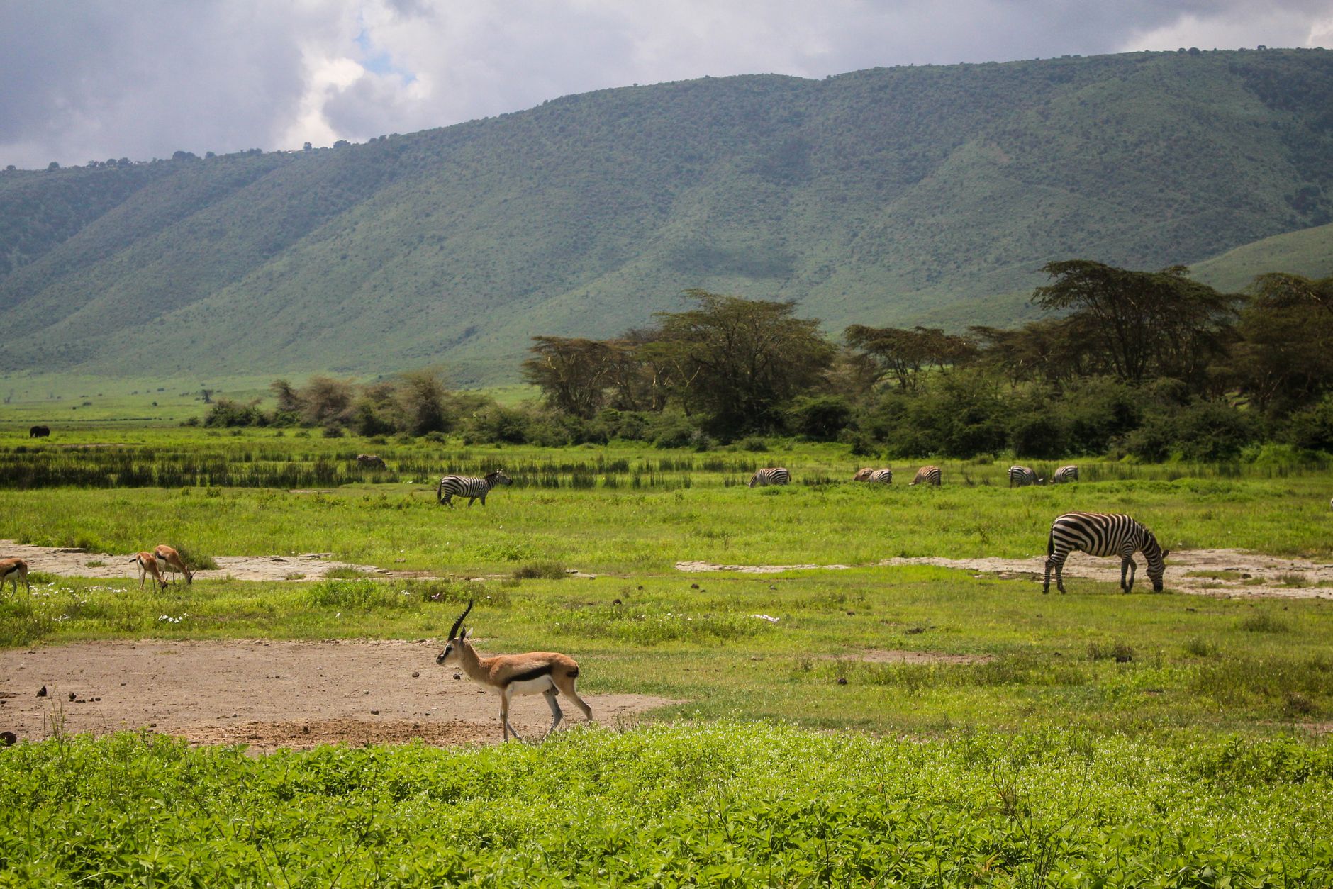
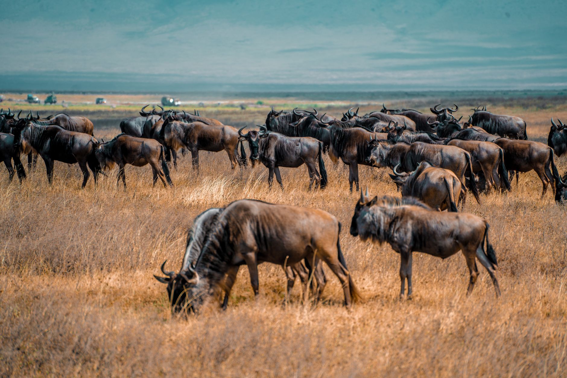
The Ngorongoro Crater sits at the centre of everything here — a caldera roughly 260 square kilometres across, formed three million years ago when a volcano the height of Kilimanjaro collapsed into itself. The sheer rim drops some 600 metres to a floor where lions, elephants, and the last viable black rhino population in Tanzania move through open grassland, acacia woodland, and a seasonal salt lake the Maasai call Makat.
But the Conservation Area is larger than the crater alone. Olduvai Gorge cuts through the eastern Serengeti Plain nearby, its sediment layers holding hominin remains stretching back 3.6 million years. Empakaai, Olmoti, and the archaeological site at Laetoli spread across the highland plateau — a landscape that has been continuously inhabited, in one form or another, longer than almost anywhere on earth.
How Ngorongoro Conservation Area came to be
The Ngorongoro Conservation Area was established in 1959 under the NCA Ordinance, which deliberately separated it from what became Serengeti National Park. The distinction was not incidental: it was designed to preserve land rights for the Maasai, semi-nomadic pastoralists who had already been relocated from the Serengeti. Austrian explorer Oscar Baumann had reached the crater in the late 19th century, but the Maasai had been grazing its floor long before European arrival. Henry Fosbrooke served as the area's first Conservator.
UNESCO added the Conservation Area to its World Heritage List in 1979, recognising both its ecological and palaeontological significance. The 2009 Ngorongoro Wildlife Conservation Act tightened restrictions on settlement and farming within the crater, a shift that drew criticism for displacing communities the original 1959 ordinance had been written to protect.
Who and what shaped it
People who shaped it
Landmark buildings
See Ngorongoro Conservation Area in motion
Plan your visit
On the map
When to go
The highlands sit above 2,300 metres, so temperatures are mild year-round — around 16 °C in the warmer months and dropping to 13–14 °C between June and August, with cold nights at any time of year. Two rainy seasons shape the calendar: short rains in November–December and longer rains from March through May, when crater tracks can become impassable.
Right now
Background & history adapted from Wikipedia (CC BY-SA) · specs from Wikidata (CC0) · weather from Open-Meteo · map data © OpenStreetMap contributors · photos from Wikimedia Commons / Unsplash with per-image credit. No third-party reviews or social posts reproduced.