
Ngongotaha
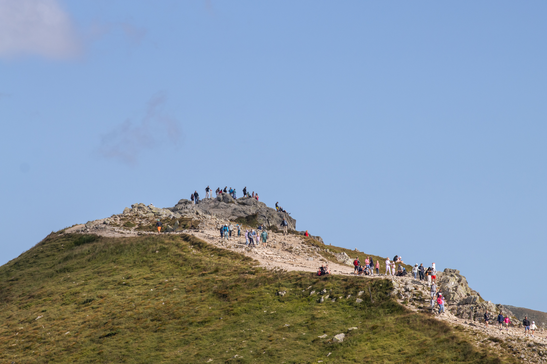
The locals call it the sunny side of the mountain, and on a clear January morning, with the Ngongotahā Stream running cold and quick through the village centre and a fly fisherman already working the pool near the road, you can see why the name stuck. This is Rotorua's quieter western edge — a village of 5,280 people where hanging flower baskets line the main street and the 757-metre rhyolite dome of Mount Ngongotahā fills the skyline.
The mountain gives Ngongotaha most of its texture: a gondola to the summit, a luge, a bird-of-prey centre on the lower slopes, and the Jubilee Track winding up through native forest past a rātā tree that reaches forty metres into the canopy. Down at the base, a sealed cycleway runs alongside the old railway line all the way to the lake.
💛 What travellers fall for
Regulars tend to arrive early for the stream. Rainbow and brown trout run through the Ngongotahā, and this is among the most productive fly-fishing water in the country — the village gives you a grocery store, a pharmacy, and a cafe within easy reach of the bank. The Rail Trust Park, with its scale-model steam rides, is worth knowing about if you're travelling with children.
Deals in Ngongotaha
Book directly at the provider


How Ngongotaha came to be
The name itself carries the founding story. The Māori explorer Īhenga, moving through this territory, encountered the Patu-paiarehe — the fairy people of Māori tradition — on the mountain above. They offered him a drink from a calabash: ngongo, to drink; tahā, the vessel. The mountain and the settlement below both carry that exchange in their name.
The village grew steadily through the early twentieth century. Ngongotaha School opened in 1911. Rugby was being played informally by the early 1920s, with the local club formally registered with the Rotorua Rugby Union in 1929. The football club followed in 1966. The branch railway line that once connected the area has been out of service since around the turn of the century, though a rail-cruiser operation began running a section between Mamaku and Ngongotaha in 2024, with stations built at both ends.
Who and what shaped it
Landmark buildings
See Ngongotaha in motion
Plan your visit
On the map
When to go
Ngongotaha averages just under 2,200 hours of sunshine a year, with January and February the warmest months — days reach around 23°C, nights stay near 13°C. Rainfall is spread through the year at roughly 1,480mm annually, so a waterproof layer earns its place in your bag whatever the season.
Right now
Background & history adapted from Wikipedia (CC BY-SA) · specs from Wikidata (CC0) · weather from Open-Meteo · map data © OpenStreetMap contributors · photos from Wikimedia Commons / Unsplash with per-image credit. No third-party reviews or social posts reproduced.