
Ngeremlengui


Ngeremlengui is Palau's largest state by land area and, with a 2020 population of 349, one of its quietest by almost every other measure. The Ngermeskang River — the longest in the country — runs through its eastern reaches, and Ngeremeduu Bay, a protected breeding ground for marine life, traces its western edge. What you find here is not a place organized around visitors but one that happens to reward the patient kind.
The state's settlements — Imeong, Ngermetengel, Ngchemesed — sit amid agroforest that has fed people for generations: coconut, breadfruit, betelnut, banana, almond. Sea cucumber, eaten raw, is a local delicacy. And in Ngerutechei village, a taro patch called Mesei ra Ngeruuchel carries the distinction of being the first mesei ever cultivated in Palau, restored after three decades of abandonment.
💛 What travellers fall for
People who make it back tend to mention the Ngermeskang Bird Sanctuary in the same breath — thirty resident species, forest trails, no crowds. Bring more water than you think you need; the few commercial shops are easy to miss. The drive in from Airai sets the tone: long, green, and gradually quieter.
Deals in Ngeremlengui
Book directly at the provider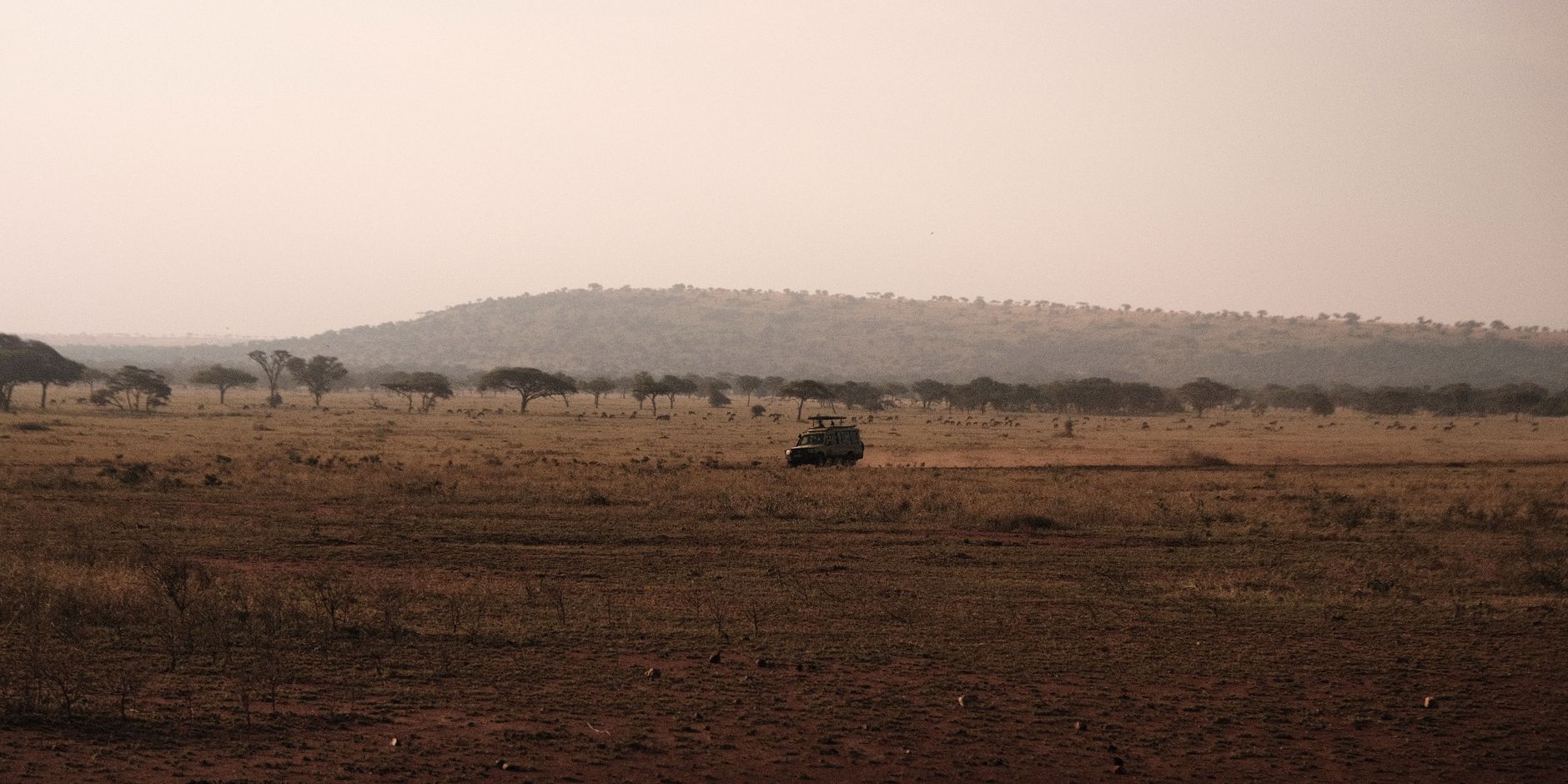

How Ngeremlengui came to be
Palau entered European records in the early 1500s, and by 1885 Spain had formally incorporated the islands into the Spanish East Indies. Germany purchased the archipelago from Spain in 1899, administering it until Japan seized the islands at the outset of World War I — a control later ratified by League of Nations mandate in 1920. After World War II, the US Navy took over in 1945, and the islands became a UN Trust Territory in 1947, with the Department of the Interior assuming administration in 1951.
Ngeremlengui's own institutional story is more recent. The state adopted its constitution in 1983 and established its government that same year. The Ngeremlengui Elementary School, which first opened in 1945 with a permanent building following around 1946, stands as one of the earliest fixed structures built in the state's modern era. The traditional title of high chief — Ngirturong — remains part of the state's civic identity.
Who and what shaped it
Landmark buildings
See Ngeremlengui in motion
Plan your visit
On the map
When to go
Ngeremlengui sits in an equatorial belt: hot and humid year-round, with a mean temperature around 28°C. February through April brings the relative lull — fewer thunderstorms, more sun — though brief showers still arrive without much warning. Typhoon risk runs from April through December, peaking between August and November.
Right now
Background & history adapted from Wikipedia (CC BY-SA) · specs from Wikidata (CC0) · weather from Open-Meteo · map data © OpenStreetMap contributors · photos from Wikimedia Commons / Unsplash with per-image credit. No third-party reviews or social posts reproduced.