
Negril
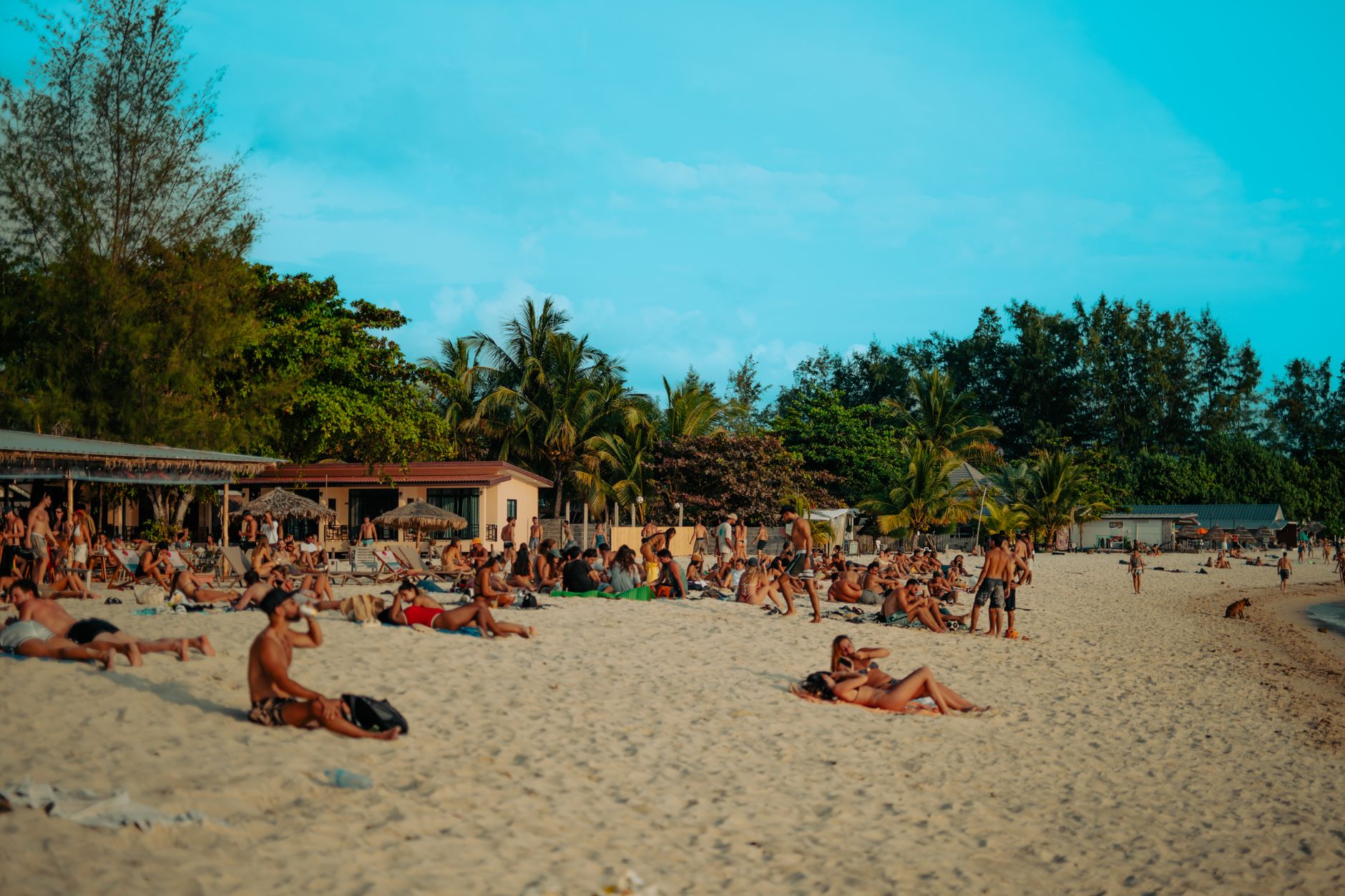

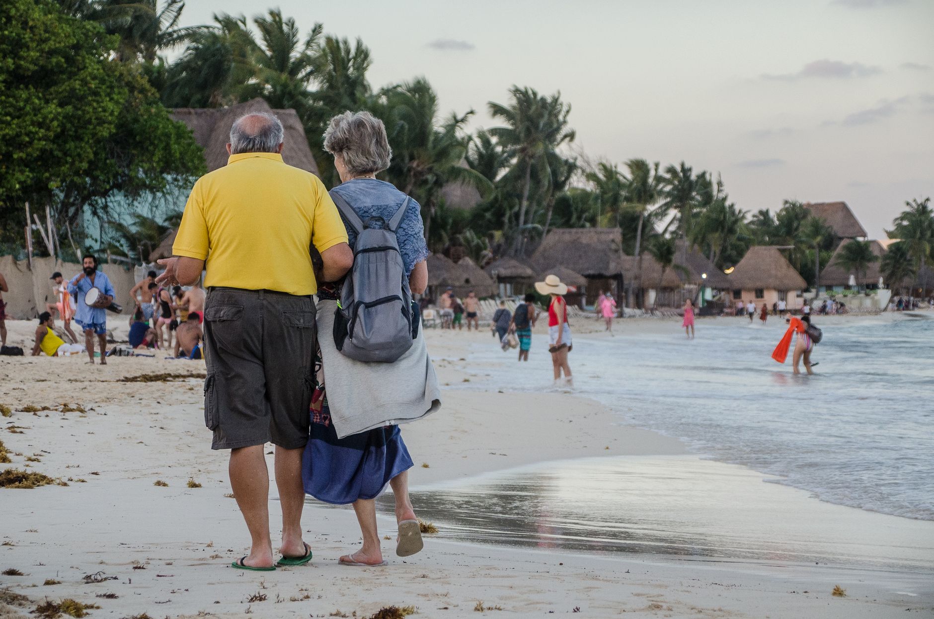

Negril sits at Jamaica's westernmost point, where the island simply runs out of land and the Caribbean takes over. The town is split between two personalities: Seven Mile Beach — actually two bays, Bloody Bay to the north and Long Bay to the south — and the West End, a ragged shelf of limestone cliffs that drops straight into clear water. Cliff bars and small hotels balance on the edge, and every evening people gather to watch the sun go down over nothing but open sea.
The pace here is genuinely slow. There is one main road and very few reasons to hurry along it.
💛 What travellers fall for
People who keep coming back tend to stake out the West End over the beach — the cliffs offer more shade, better snorkelling directly off the rocks, and a quieter run of restaurants. The Royal Palm Reserve boardwalk makes a good early-morning detour before the heat builds, and the Negril Lighthouse charges a small fee to climb but the view from that 100-foot cliff earns it.
How Negril came to be
The Spanish named it Negrillo — 'little black one' — when they arrived in 1494, though the Taíno people had long been living around the Great Morass, the 300-acre wetland that still anchors the inland side of town. The British took Jamaica in 1655, and for the next century or so Negril was less a settlement than a useful obscurity: the pirate Jack Rackham, known as Calico Jack, used the bay as a base until his capture here in November 1720. Bloody Bay got its name not from pirates but from the whale-processing that took place there in the 18th and 19th centuries; the Great Morass, meanwhile, sheltered Maroon communities escaping British forces.
The resort era arrived slowly. Daniel Connell opened Palm Grove, the first guest house, and the first proper hotel followed on the West End in the mid-to-late 1960s. It wasn't until the road from Montego Bay was improved in the early 1970s that Negril became genuinely accessible, and the large-scale Negril Beach Village resort followed in 1977. By the 1980s, American college students had discovered it for spring break — a crowd that has never entirely left.
Who and what shaped it
People who shaped it
Landmark buildings
See Negril in motion
Plan your visit
On the map
When to go
Temperatures stay close to 30°C year-round, dipping only slightly in February. The dry season, December through April, gives the most reliable sunshine; the rainy season runs May to November, with September and October seeing the heaviest afternoon showers, though mornings are often clear.
Right now
Background & history adapted from Wikipedia (CC BY-SA) · specs from Wikidata (CC0) · weather from Open-Meteo · map data © OpenStreetMap contributors · photos from Wikimedia Commons / Unsplash with per-image credit. No third-party reviews or social posts reproduced.