
Nassau
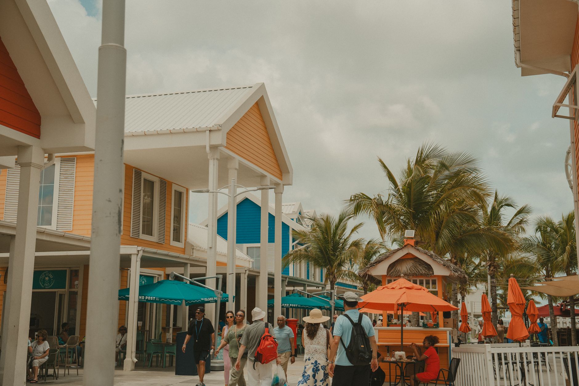
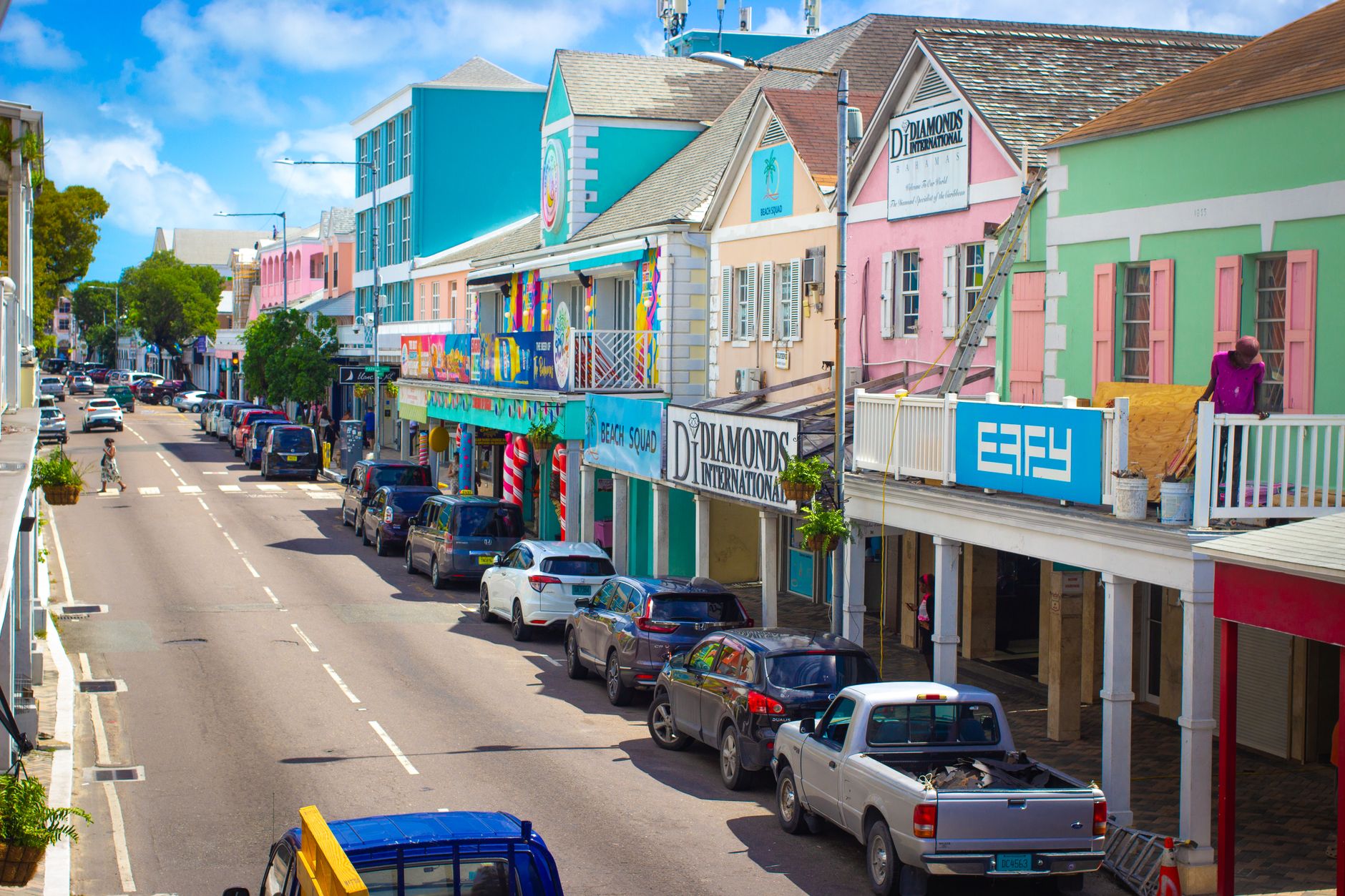
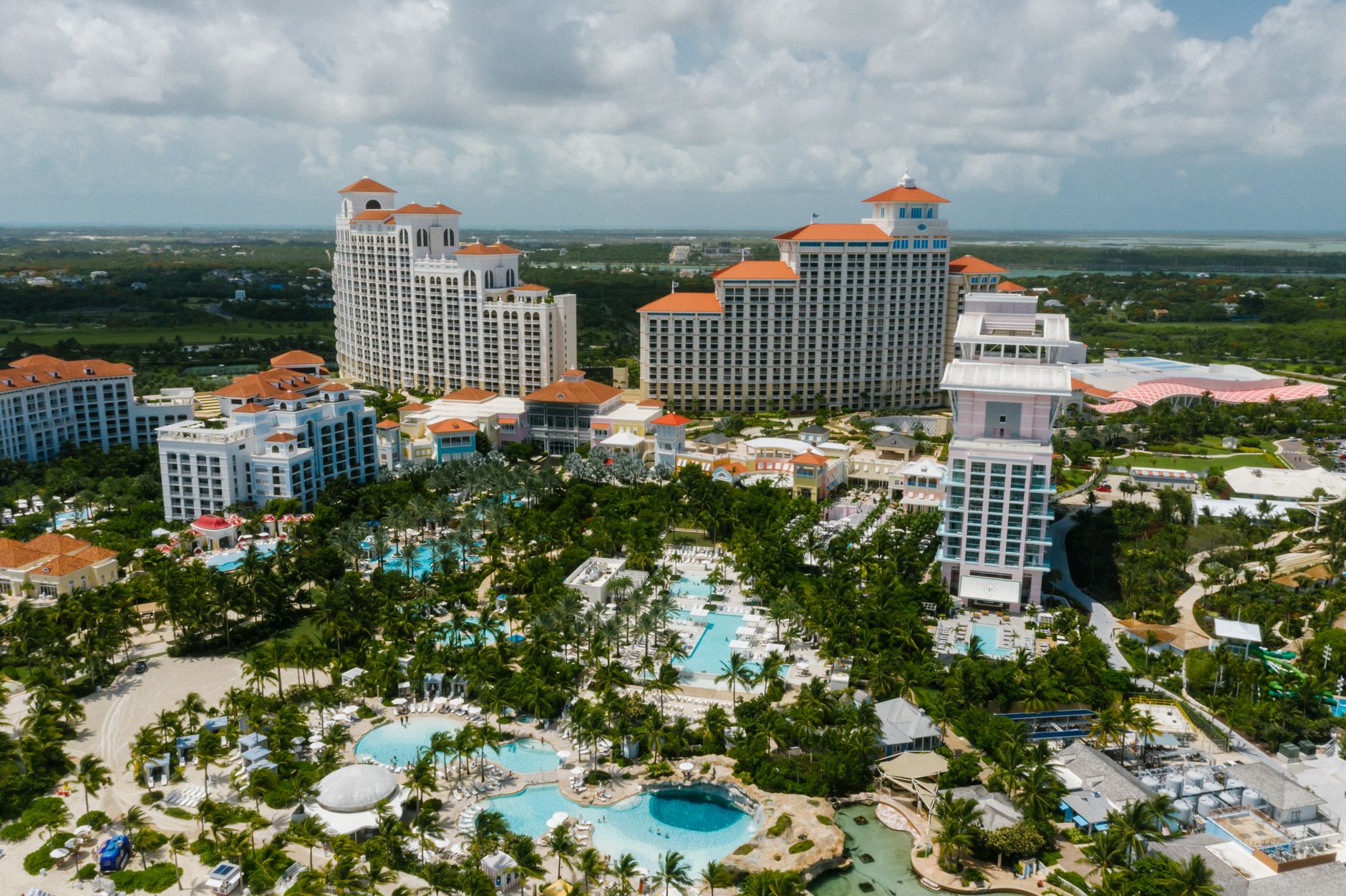
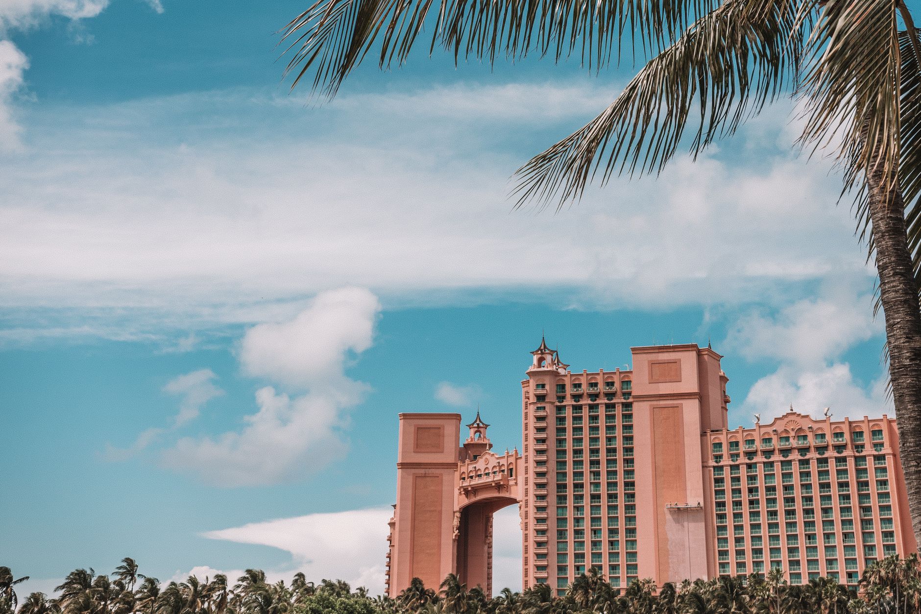
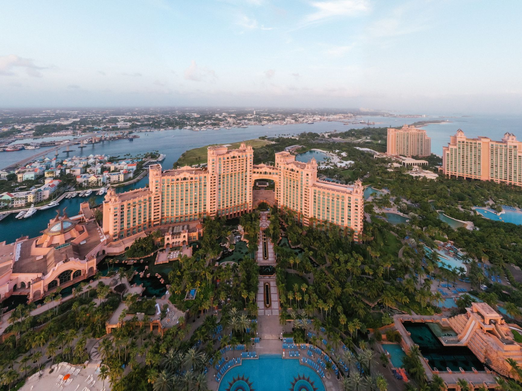
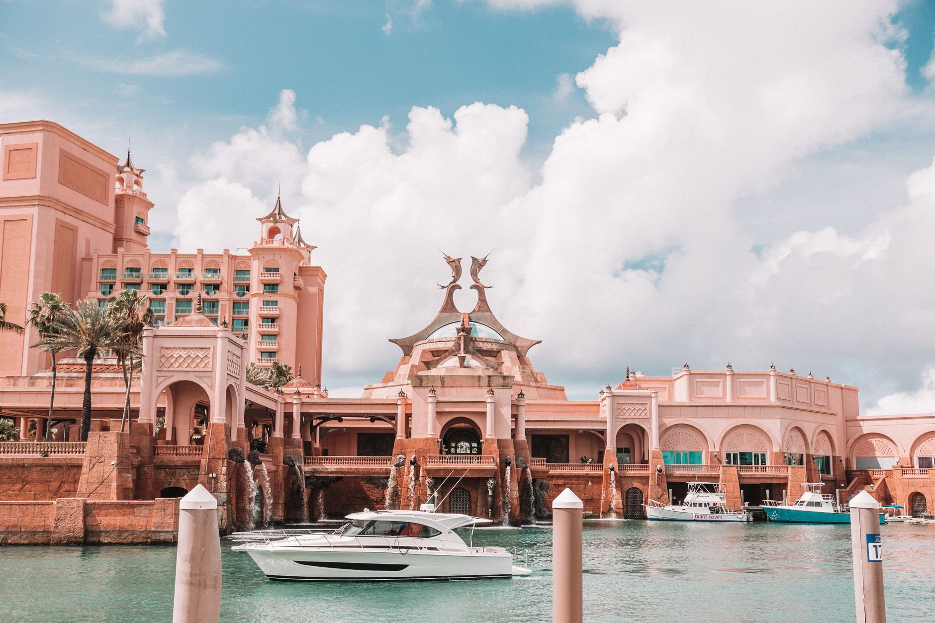
Nassau sits on New Providence Island with one foot in the colonial past and the other in the salt-bright present. The pink-and-white facade of Government House still watches over the city from its hill, Parliament Square still carries the geometry the Loyalists brought with them, and somewhere between those landmarks and the water taxis cutting across the harbour, the place finds its own unhurried rhythm.
This is the Bahamas' capital and its main port of entry — the island where most visitors first touch down and where the country's layered history is most legible. The forts, the staircase carved from limestone by enslaved hands, the octagonal library that predates the nation by nearly two centuries: Nassau rewards the walker who slows down.
How Nassau came to be
British settlers founded a town here in 1670, calling it Charles Town after the reigning king. It was renamed Nassau in 1695 to honour King William III, Prince of Nassau. Within a generation, the colony had effectively been taken over by pirates — by the early 1700s more than a thousand of them operated out of the harbour, outnumbering residents ten to one. Order arrived in 1718 when Woodes Rogers was appointed Royal Governor and set about dismantling what had become, in effect, a pirate republic.
The next century brought successive waves of change: Loyalists fleeing the newly independent United States arrived with their enslaved workers after 1783, reshaping the town's architecture and economy. After Britain abolished the international slave trade in 1807, the Royal Navy began resettling liberated Africans on New Providence. The Bahamas finally became a sovereign nation on 10 July 1973, after 325 years of British rule.
Who and what shaped it
People who shaped it
Landmark buildings
See Nassau in motion
Plan your visit
On the map
When to go
November through May brings temperatures around 25°C and mostly dry skies — the window most visitors aim for. June through October is hotter and wetter, with the real possibility of tropical storms from August onwards.
Right now
Background & history adapted from Wikipedia (CC BY-SA) · specs from Wikidata (CC0) · weather from Open-Meteo · map data © OpenStreetMap contributors · photos from Wikimedia Commons / Unsplash with per-image credit. No third-party reviews or social posts reproduced.