
Nariva Swamp
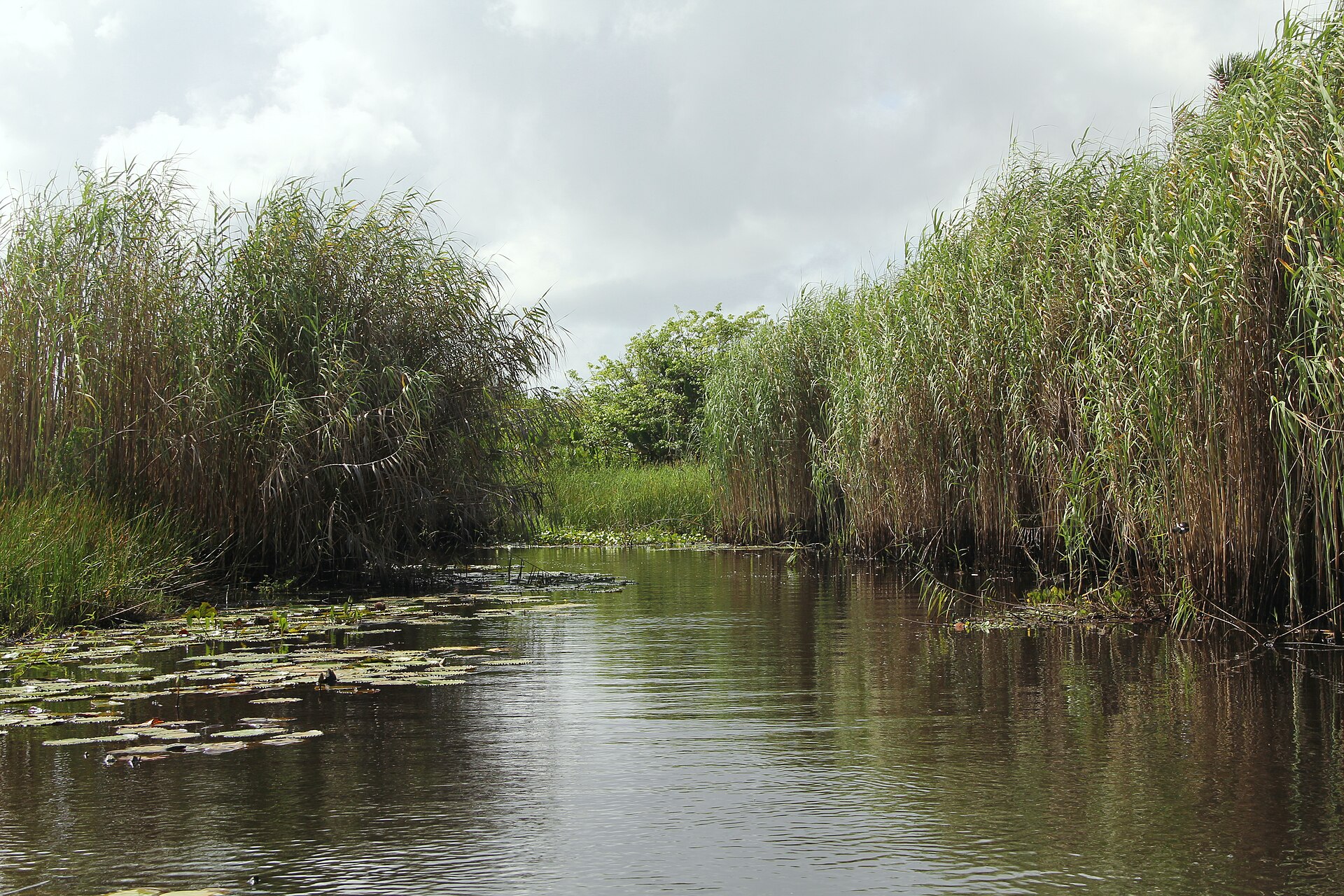
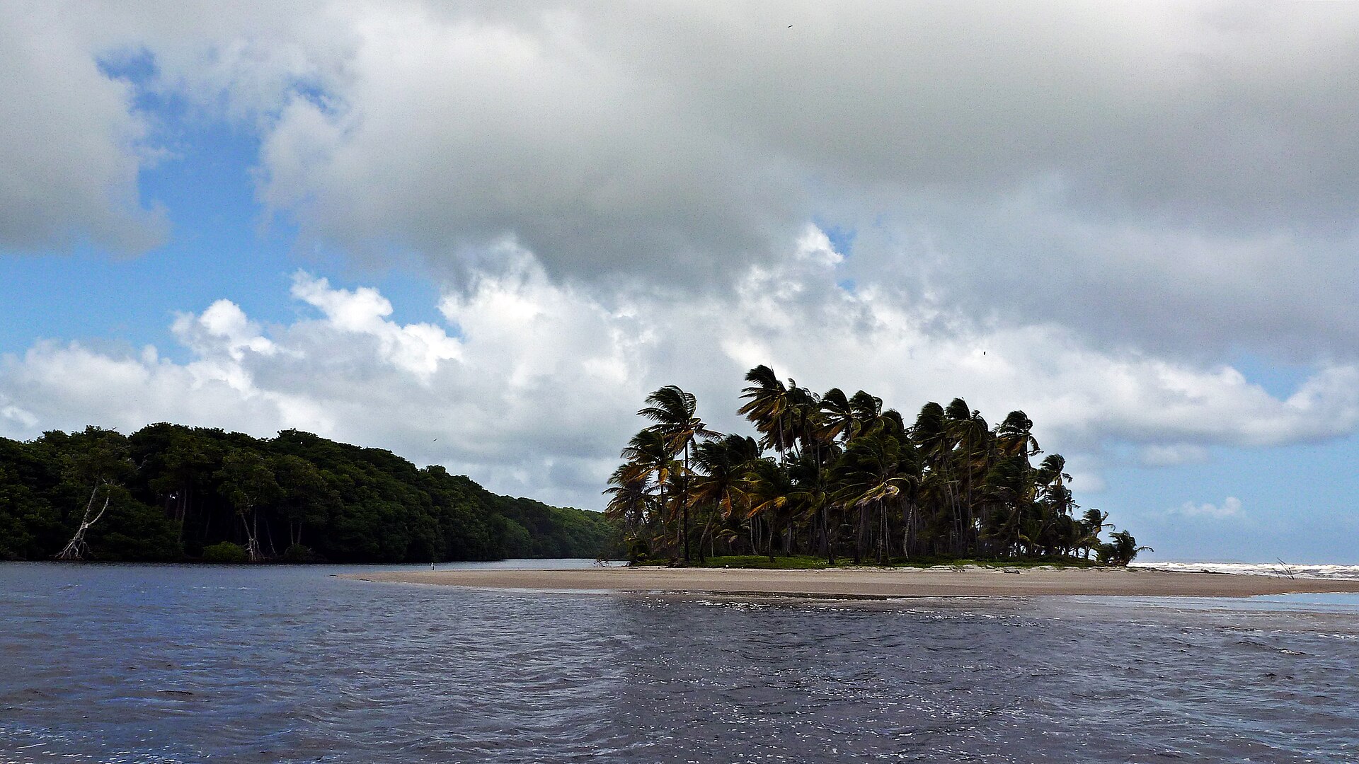

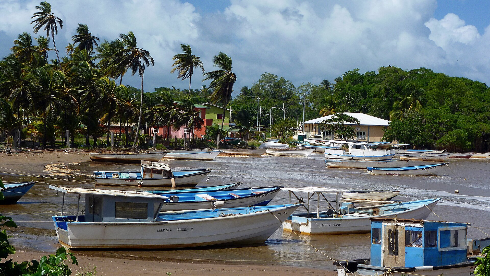
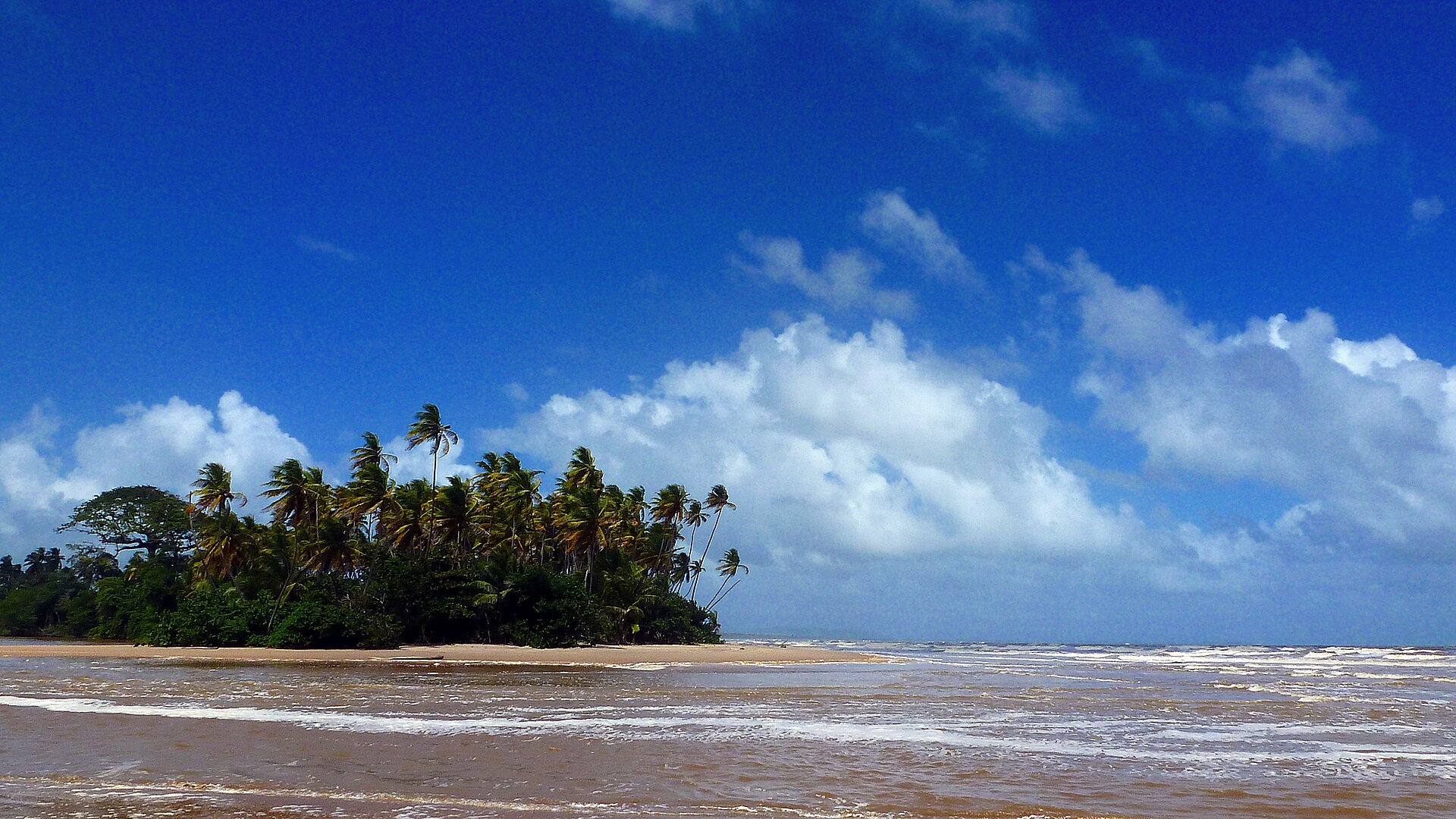
The kayak turns a corner in the mangrove channel and the canopy closes over you. Fiddler crabs scatter across the exposed roots, a kingfisher holds its branch, and the only sound is your paddle. Nariva Swamp covers 6,234 hectares on Trinidad's east coast, running inland from Manzanilla Bay — the largest freshwater wetland in the Caribbean, though that statistic does little to prepare you for the actual scale of it.
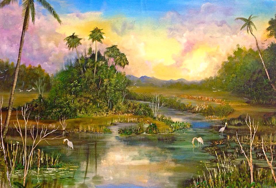
Paddle long enough and the mangroves give way to freshwater marsh, then Moriche palm groves, then humid forest on the raised ground of Bush Bush Island. The swamp holds 204 bird species, 45 mammals, 39 reptiles. Blue-and-yellow macaws, extinct here by the 1970s, were reintroduced and are back. You might hear them before you see them.
How Nariva Swamp came to be
The swamp was declared a forest reserve on March 18, 1954. The Bush Bush section drew particular scientific attention: in 1960, T. H. G. Aitken of the Trinidad Regional Virus Laboratory proposed it as a dedicated nature reserve, and in 1968 it was gazetted as a Wildlife Sanctuary with a US$5,000 grant from the New York Zoological Society. A University of the West Indies team led by Peter Bacon conducted a thorough survey between 1977 and 1979, mapping the swamp's geography, hydrology and biology in detail.
In 1989, Bush Bush was declared a prohibited area to limit disturbance. International recognition came on April 21, 1993, when Nariva was designated a Wetland of International Importance under the Ramsar Convention, and again in December 2006 when it became an Environmentally Sensitive Area — a status that shapes what visits look like today.
Who and what shaped it
People who shaped it
Landmark buildings
See Nariva Swamp in motion
Plan your visit
On the map
When to go
The dry season runs December to May, when water levels drop enough to walk parts of the swamp and wildlife concentrates around remaining water. From June through November the marshes flood to around a metre deep, Bush Bush Island becomes boat-access only, and humidity — already persistent above 85 percent — climbs further. Northeast trade winds cut the heat somewhat year-round.
Right now
Background & history adapted from Wikipedia (CC BY-SA) · specs from Wikidata (CC0) · weather from Open-Meteo · map data © OpenStreetMap contributors · photos from Wikimedia Commons / Unsplash with per-image credit. No third-party reviews or social posts reproduced.