
Namur
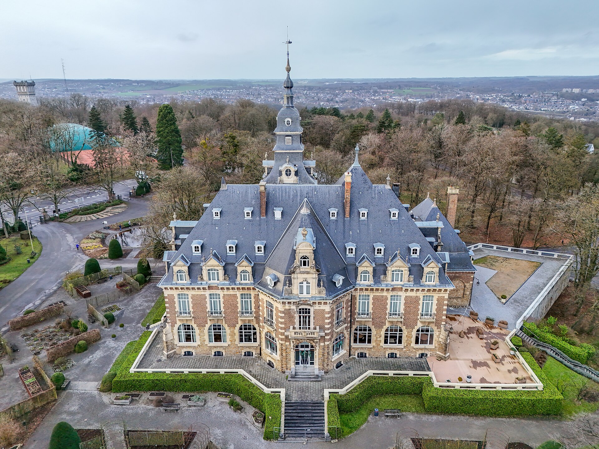
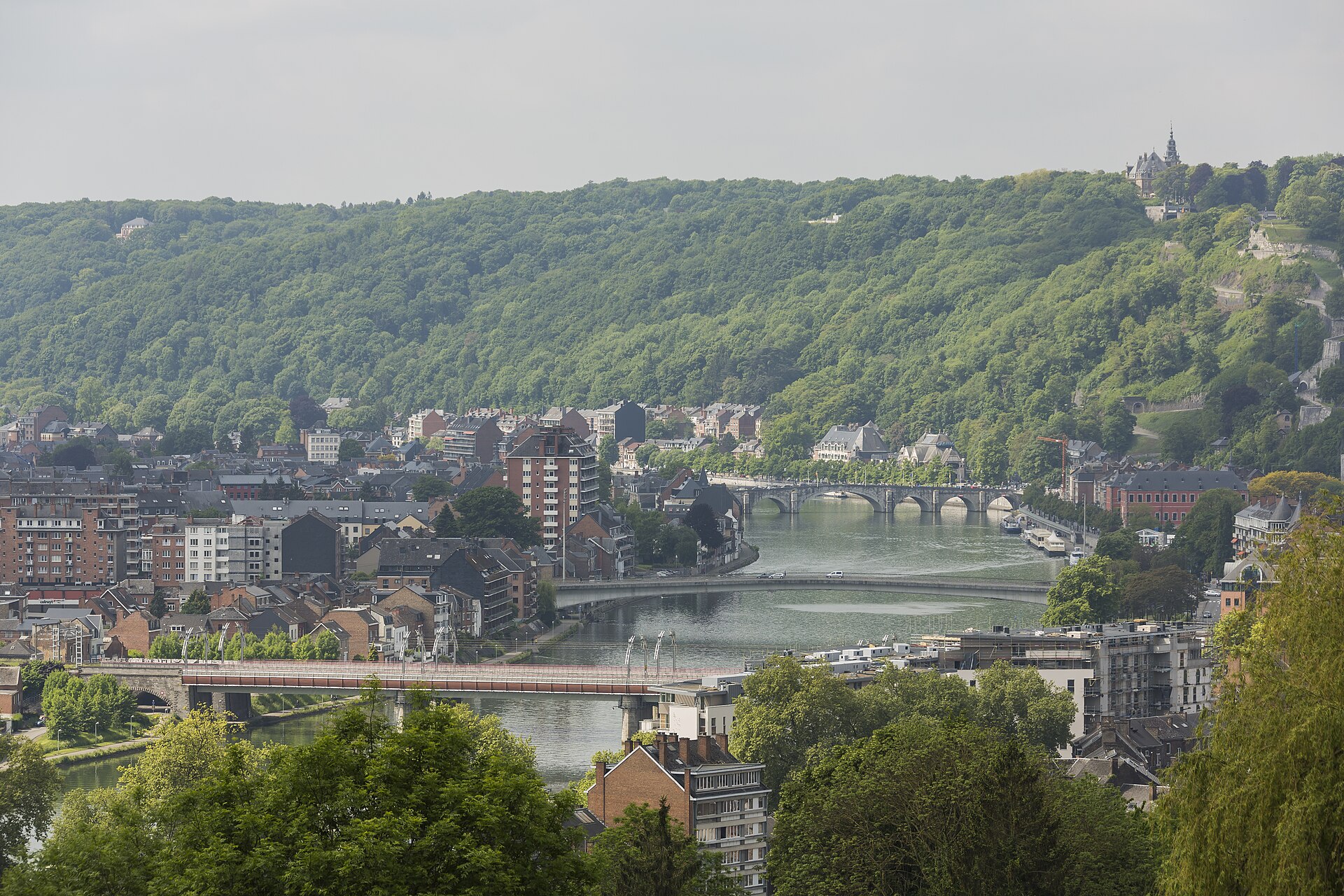
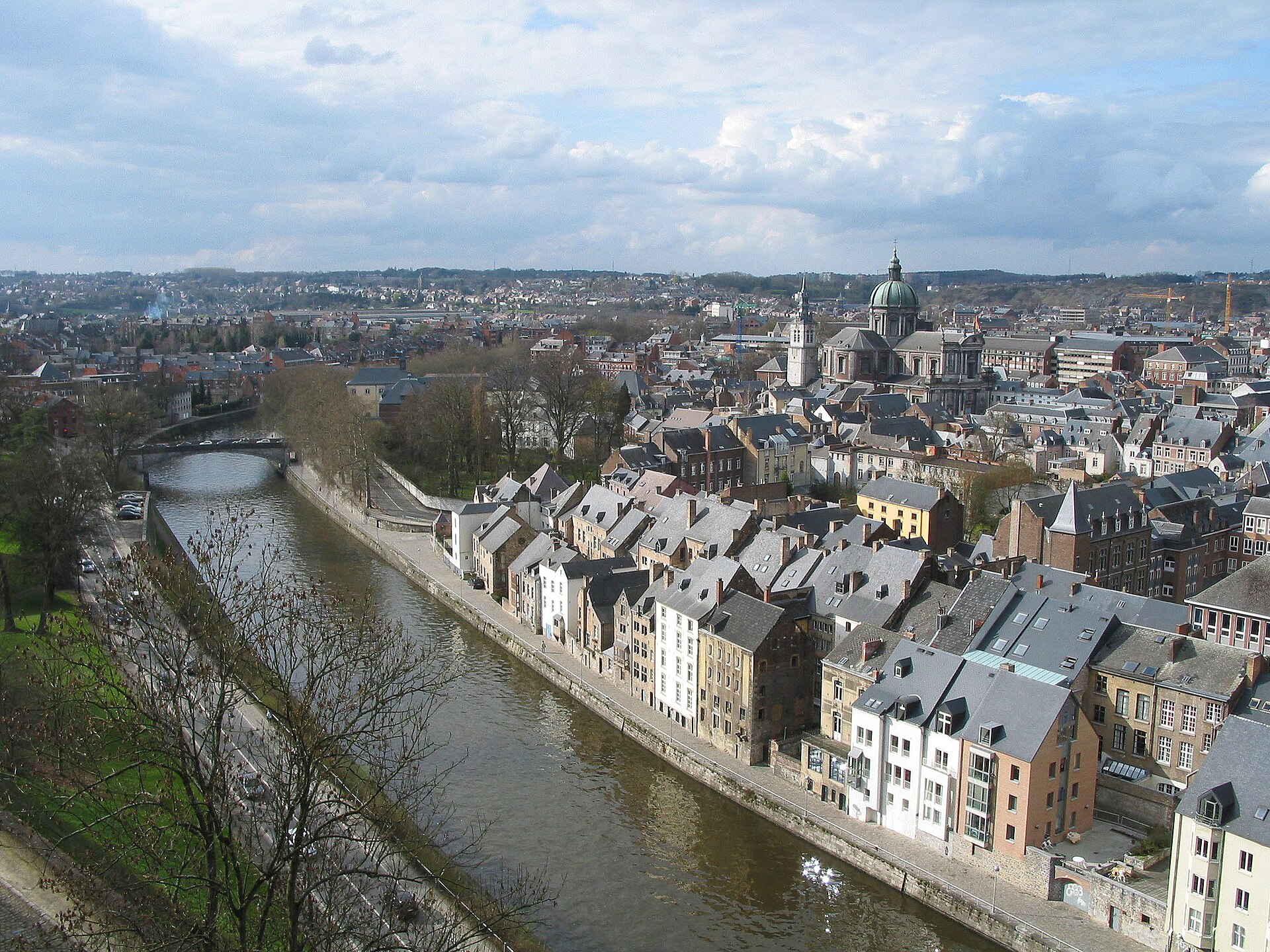
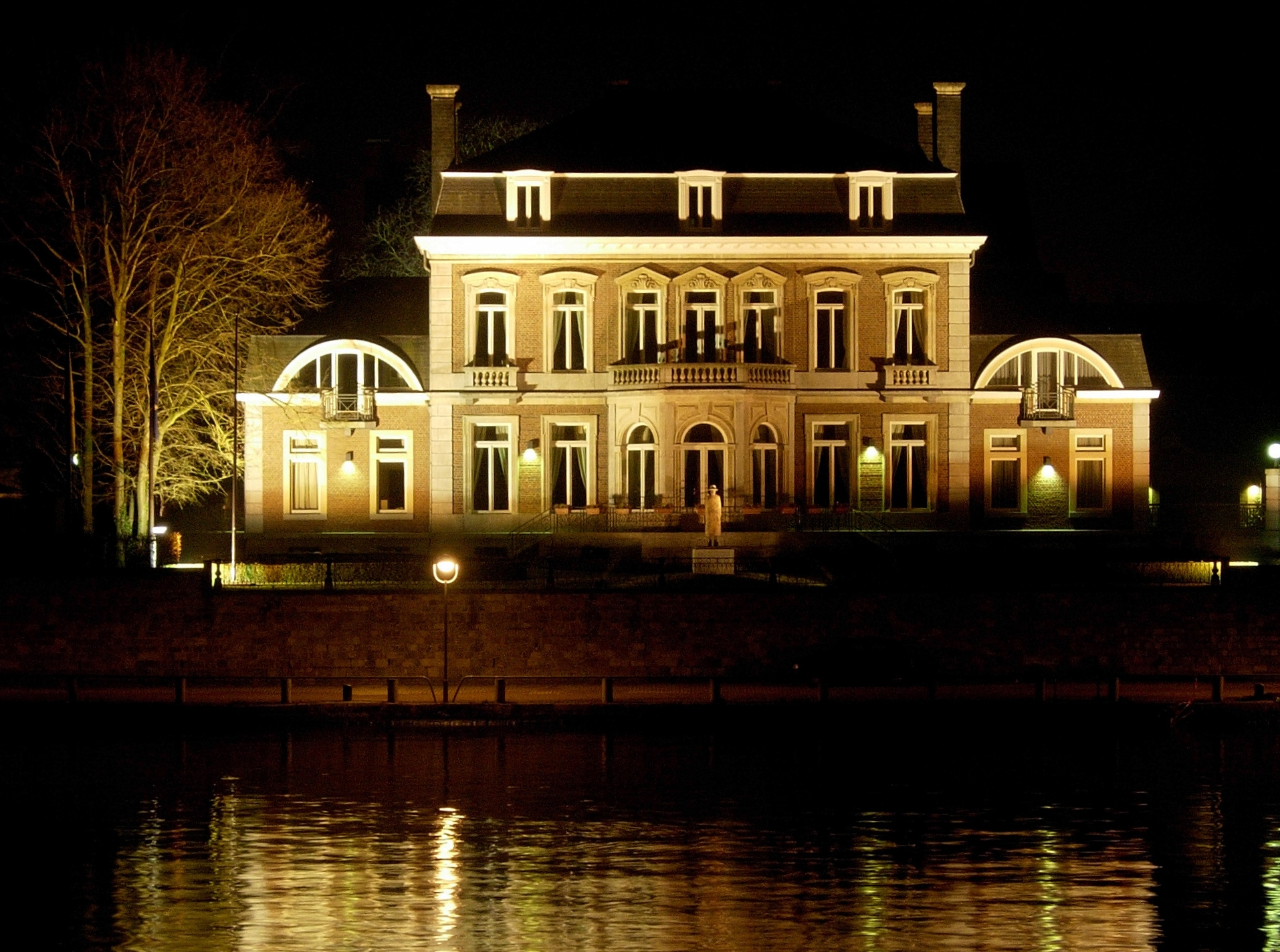
Namur sits at the point where the Sambre meets the Meuse, and that confluence explains almost everything about it. A rocky hill rose between the two rivers — the Champeau — and people have been fortifying it, sieging it, and rebuilding it ever since Julius Caesar noted the region in the first century BC. The citadel on that hill is still the first thing you see arriving by train.
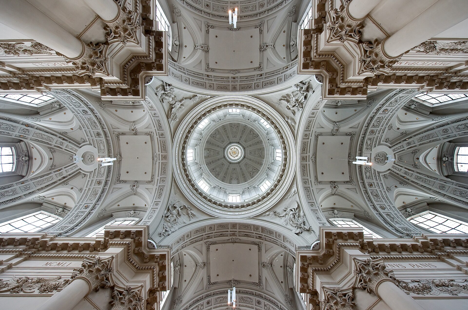
This is the capital of Wallonia, Belgium's French-speaking south, and it carries itself with a quieter confidence than Brussels or Ghent. The old town is compact enough to cover on foot in an afternoon, but the layers — Baroque churches, a UNESCO-listed belfry, a museum devoted to one of Belgium's most subversive artists — reward the extra day.
How Namur came to be
The hill between the Sambre and Meuse made Namur strategically irresistible for a thousand years. From 908 it was the seat of the counts of Namur, passing to Burgundy in 1421. The citadel's most famous chapter came in 1692, when Louis XIV and his military engineer Vauban personally directed its siege and took the city — only for William III of Orange to retake it three years later. The French returned in 1792 and again in 1794, annexing the region entirely.
In August 1914, German forces bombarded Namur without warning as part of their sweep into Belgium, making it one of the first major Belgian targets of the First World War. The citadel as it stands today largely reflects a rebuild completed in 1887, though its bones go back to the counts who first raised a castle on that limestone outcrop.
Who and what shaped it
People who shaped it
Landmark buildings
See Namur in motion
Plan your visit
On the map
When to go
Namur has a temperate maritime climate: mild summers around 20–23°C and cool, grey winters that rarely freeze hard. Spring and early autumn offer the most settled weather for walking the river promenades and citadel grounds; July and August are warmest but can bring passing rain showers.
Right now
Background & history adapted from Wikipedia (CC BY-SA) · specs from Wikidata (CC0) · weather from Open-Meteo · map data © OpenStreetMap contributors · photos from Wikimedia Commons / Unsplash with per-image credit. No third-party reviews or social posts reproduced.