
Namsan (Seoul)
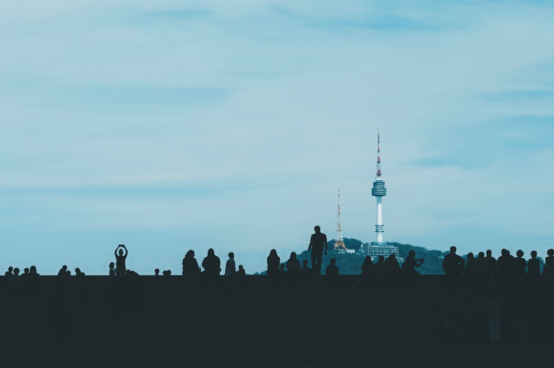

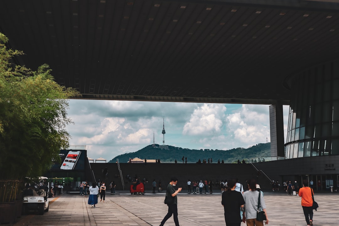
Namsan rises 270 metres from the middle of Seoul, and the city has grown so completely around it that the mountain now reads as the fixed point everything else orbits. The tower on its summit — N Seoul Tower, lit each night in a colour that corresponds to the day's air quality — is visible from neighbourhoods across the capital, a quiet civic barometer as much as a landmark.
The mountain is laced with walking trails, a Joseon-era beacon tower station, a restored hanok village at its foot, and a cable car that has been running since 1962. You can spend a focused hour or a slow afternoon here, depending on how willing you are to leave the path.
💛 What travellers fall for
People who come back tend to do the Namsan Dulle-gil trail at dusk rather than taking the cable car straight up — the walk gives the city to you in stages. They also stop at the Bongsudae signal towers near the summit before the observatory crowds arrive, when the stone structures are quieter and easier to read.
How Namsan (Seoul) came to be
Namsan has marked Seoul's southern boundary since the Joseon Dynasty, when a chain of beacon towers on its ridge relayed emergency signals — smoke by day, fire by night — across the peninsula. Those towers were destroyed during the Japanese colonial period; the reconstructed Bongsudae you see today date to 1993. From 1925 to 1945, a Shinto shrine occupied the mountain's upper slopes, a visible assertion of colonial authority that was dismantled after liberation.
The cable car — Korea's first — opened in May 1962. Seven years later, President Park Chung-hee ordered construction of a broadcasting tower on the summit; designed by Jangjongryul, it was completed in December 1971 and opened to the public in 1980 as Seoul Tower. Renamed N Seoul Tower in 2005, it was the first structure in Korea to combine a transmission tower with a public observatory.
Who and what shaped it
People who shaped it
Landmark buildings
See Namsan (Seoul) in motion
Plan your visit
On the map
When to go
Spring (April–May) and autumn (October–November) give the clearest skies and the most comfortable temperatures for walking the trails. Summer brings heat and humidity with occasional haze that can flatten the panorama; winter is cold but often produces sharp, low-pollution visibility — the tower's air-quality light tends to run green.
Right now
Background & history adapted from Wikipedia (CC BY-SA) · specs from Wikidata (CC0) · weather from Open-Meteo · map data © OpenStreetMap contributors · photos from Wikimedia Commons / Unsplash with per-image credit. No third-party reviews or social posts reproduced.