
Nami Island
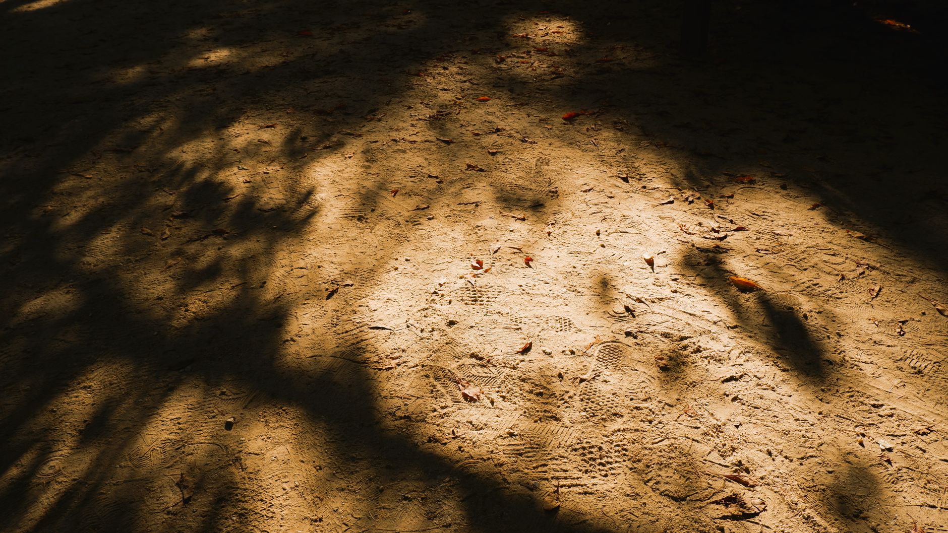
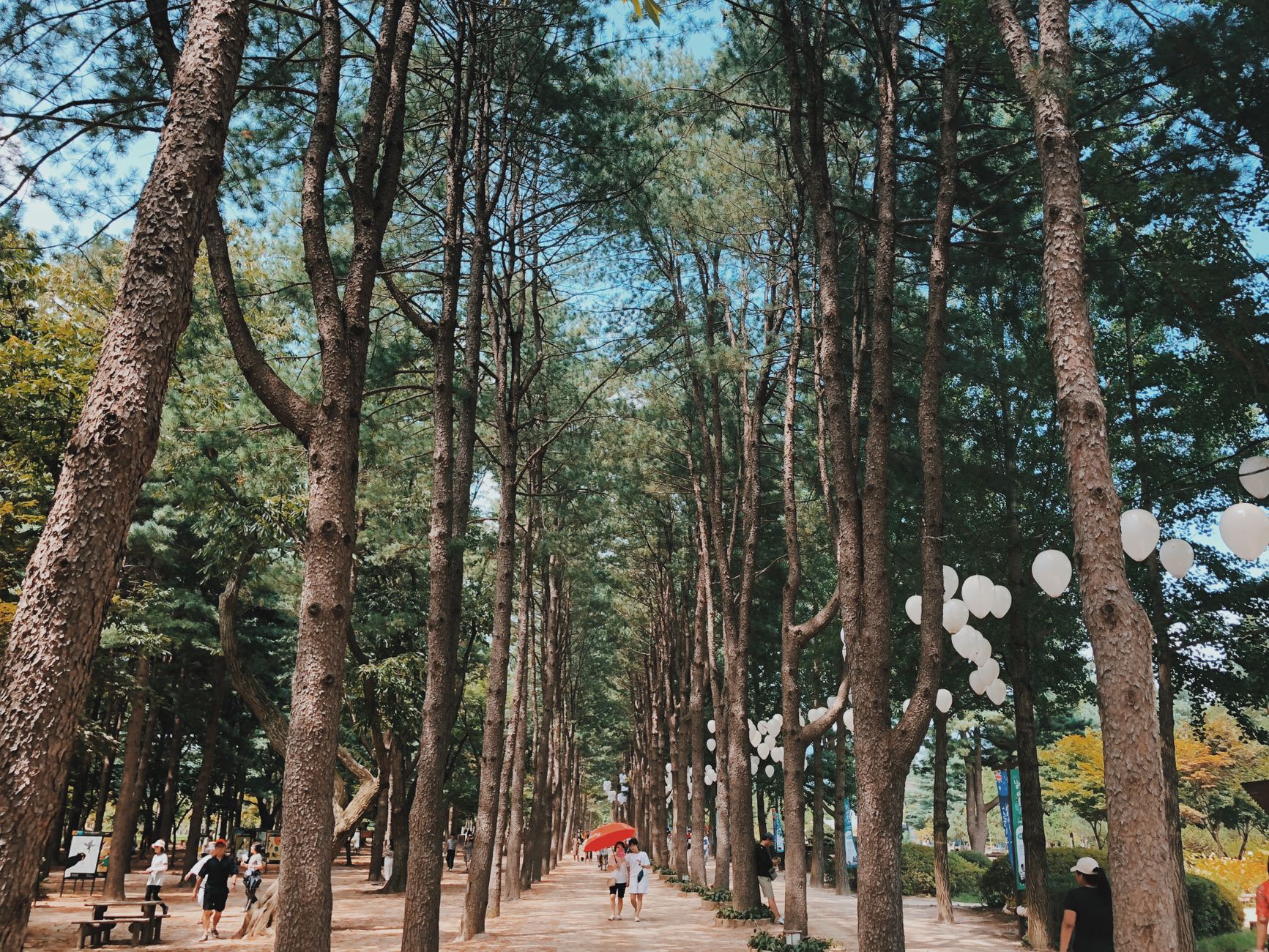
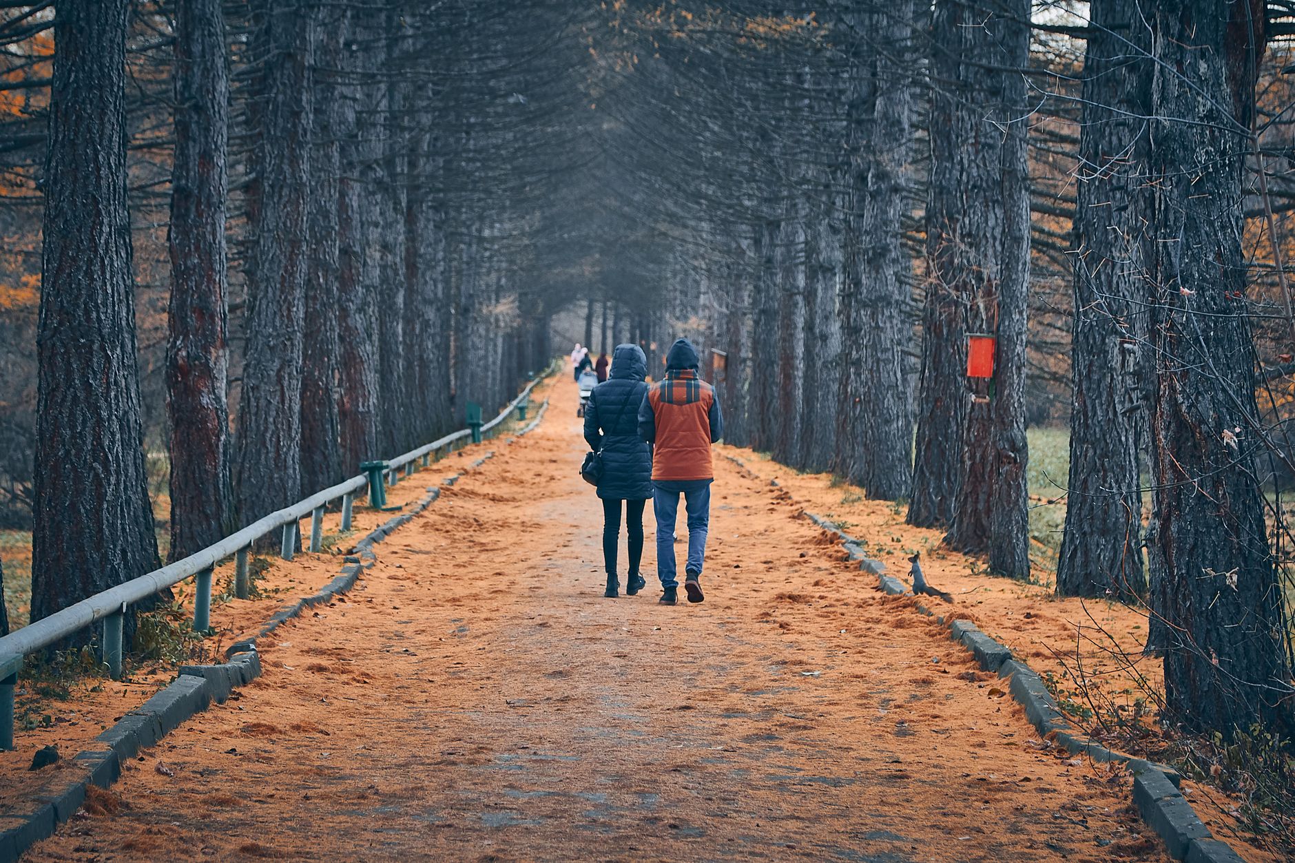
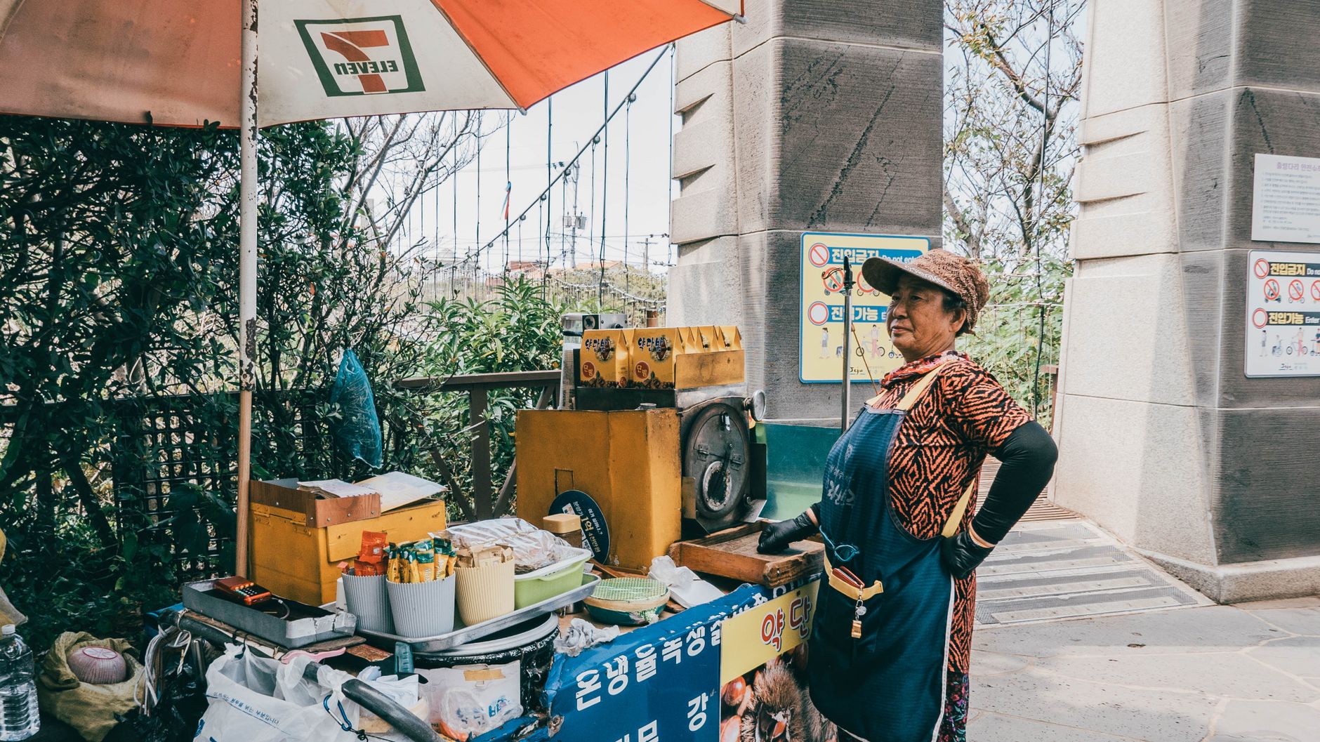
Nami Island sits in the Bukhan River about an hour from Seoul — a half-moon of land that only became an island when the Cheongpyeong Dam flooded the surrounding banks in 1944. What draws people here now is the tree-lined lanes: rows of pine, metasequoia, and ginkgo planted over decades that turn the island into something closer to a long, slow walk through a living painting than a conventional day trip.
The island runs itself as the Naminara Republic, a self-declared cultural micronation with its own passport stamps and a relaxed logic that keeps cars off the paths. You get around on foot, by bicycle, or on the slow Charity Train that loops the grounds.
How Nami Island came to be
The island's name carries an old weight: it honours General Nami, a Joseon-dynasty commander executed at 28 after a false treason charge during the reign of King Yejong in the late 1460s. For centuries after, the land was unremarkable river territory — until the dam construction of 1944 cut it off from the shore and made it an island proper.
In 1965, Min Byeong Do bought the island and began planting trees in earnest. The forestation project slowly shaped the landscape visitors walk through today. A bigger cultural shift came after 2001, when children's book author Kang Woo Hyun took over as CEO and redirected the island toward arts and environmental stewardship. The 2002 KBS drama Winter Sonata was filmed here, drawing waves of Japanese tourists and locking in the island's identity as a place where pop culture and nature coexist at an unhurried pace.
Who and what shaped it
People who shaped it
Landmark buildings
See Nami Island in motion
Plan your visit
On the map
When to go
Autumn (October–November) draws the largest crowds for ginkgo and maple colour along the lanes, but locals often rate a snowfall visit in January or February higher — the bare trees and white ground quiet the island in a way the leaf-peeping season doesn't. Spring brings cherry blossom and fresh canopy; summer is full green but humid.
Right now
Background & history adapted from Wikipedia (CC BY-SA) · specs from Wikidata (CC0) · weather from Open-Meteo · map data © OpenStreetMap contributors · photos from Wikimedia Commons / Unsplash with per-image credit. No third-party reviews or social posts reproduced.