
Naifaru
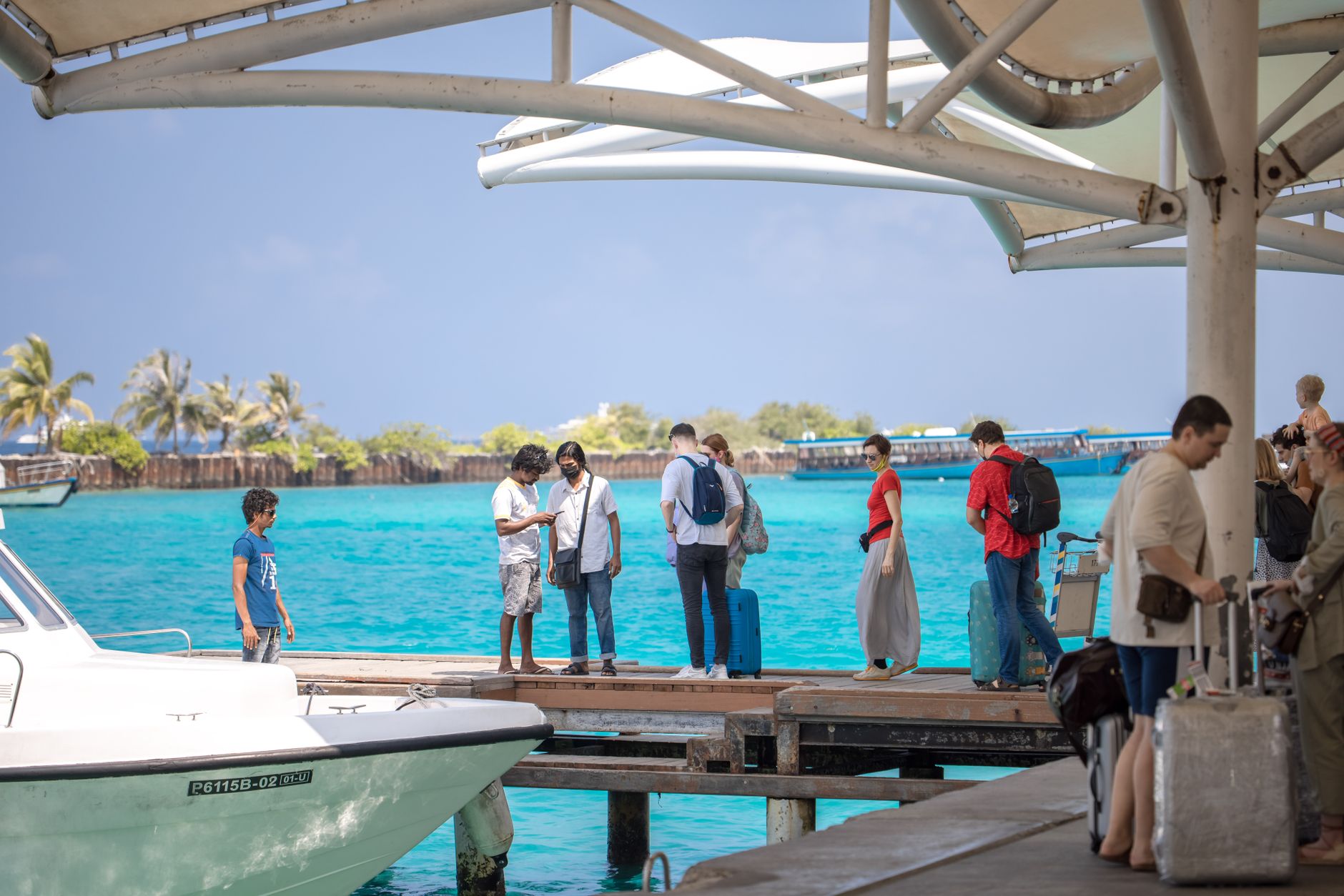
The white minaret of Naifaru's central mosque is usually the first thing you see as the speedboat slows — a slim vertical against the coconut palms that gave the island its name. Naifaru is the capital of Lhaviyani Atoll, 144 kilometres north of Malé, and it functions as a working Maldivian town rather than a resort: a harbour where dhoni hulls take shape under the hands of boat-builders, more than 120 shops supplying the wider atoll, and workshops producing mother-of-pearl handicrafts that have been traded across the archipelago for generations.
The island covers just 55.5 hectares, expanded slightly when land was reclaimed from the surrounding lagoon in 2004, so you can walk its full circuit in under an hour. What fills that hour is texture: the smell of fibreglass and timber near the northern harbour, the quiet interior lanes, and the particular unhurried pace of an island where fishing remains the economic spine.
💛 What travellers fall for
People who come back tend to head straight to the northern harbour in the early morning, when the boat-builders are already at work shaping hulls before the heat sets in. The mother-of-pearl workshops are worth finding — pieces made here show up in souvenir shops across the Maldives at a considerable markup, so buying direct makes sense.
Deals in Naifaru
Book directly at the provider


How Naifaru came to be
Local historian Ali Hussain placed Naifaru's first settlement at around 1591 CE — roughly 1000 AH in the Islamic calendar. The island appears in written records by 1704–1705 CE, when a political prisoner named Hussain Velaanaa Thakurufaanu was banished here, suggesting it already had enough of a community to serve as a place of exile. By 1783, an island called Raafushi had been formally endowed to Naifaru's small mosque, indicating organised religious and civic life.
The most significant modern institution is Madhrasathul Ifthithaah, inaugurated in 1933 by Naifaru-born scholar and judge Abdullah Fahmi Didi — making it the second-oldest educational institution in the Maldives. Nooraanee Preschool followed in 1947. Lhaviyani Atoll Hospital, the only state-level medical facility in the atoll, now anchors Naifaru's role as the administrative and services centre for the surrounding islands.
Who and what shaped it
People who shaped it
Landmark buildings
See Naifaru in motion
Plan your visit
On the map
When to go
Temperatures barely shift across the year, holding between roughly 27°C and 32°C, with humidity a near-constant companion. January and February offer the most sunshine and the least rain; November is the wettest month, with rain falling on around 23 days.
Right now
Background & history adapted from Wikipedia (CC BY-SA) · specs from Wikidata (CC0) · weather from Open-Meteo · map data © OpenStreetMap contributors · photos from Wikimedia Commons / Unsplash with per-image credit. No third-party reviews or social posts reproduced.