
Nagano
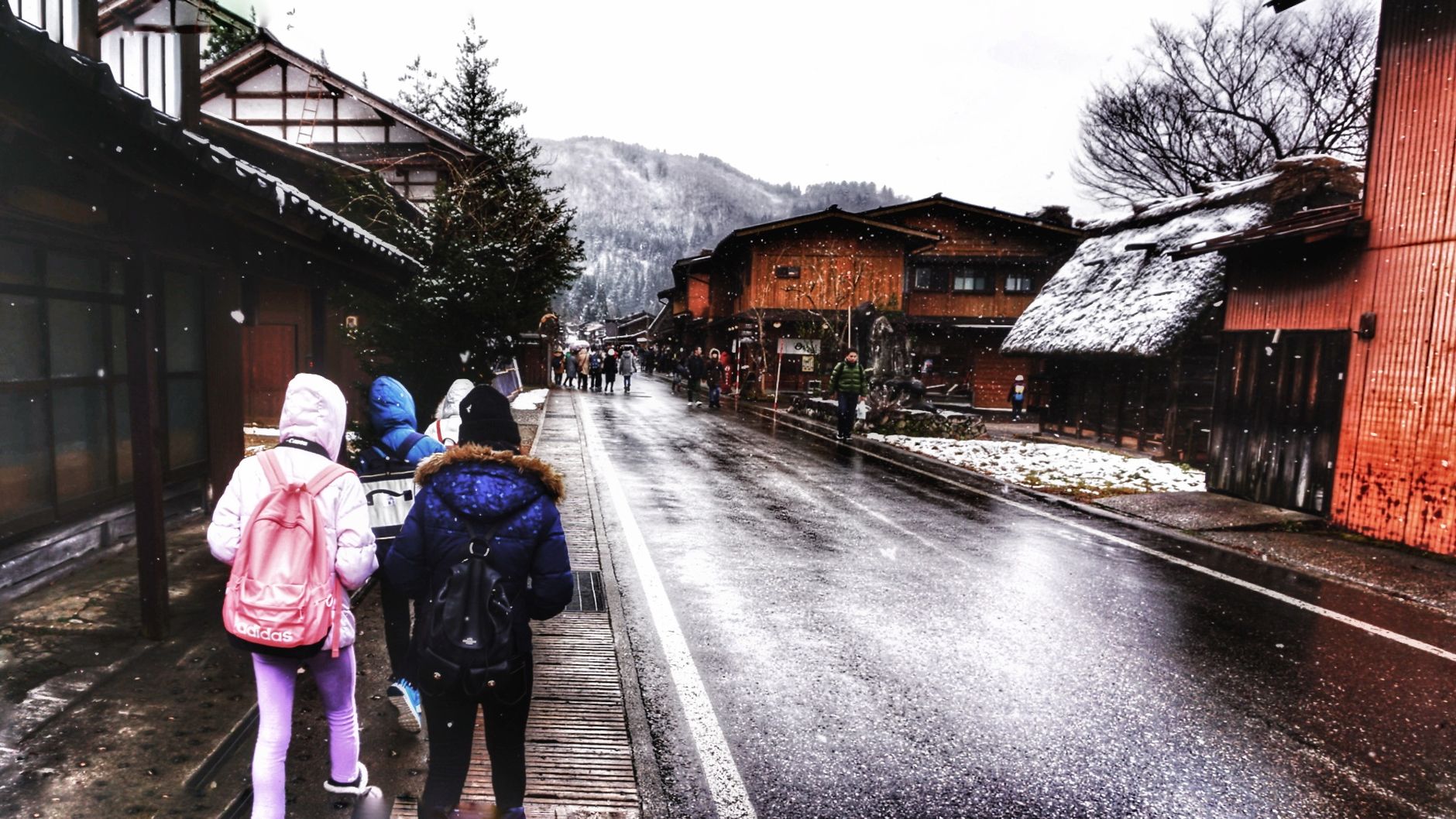
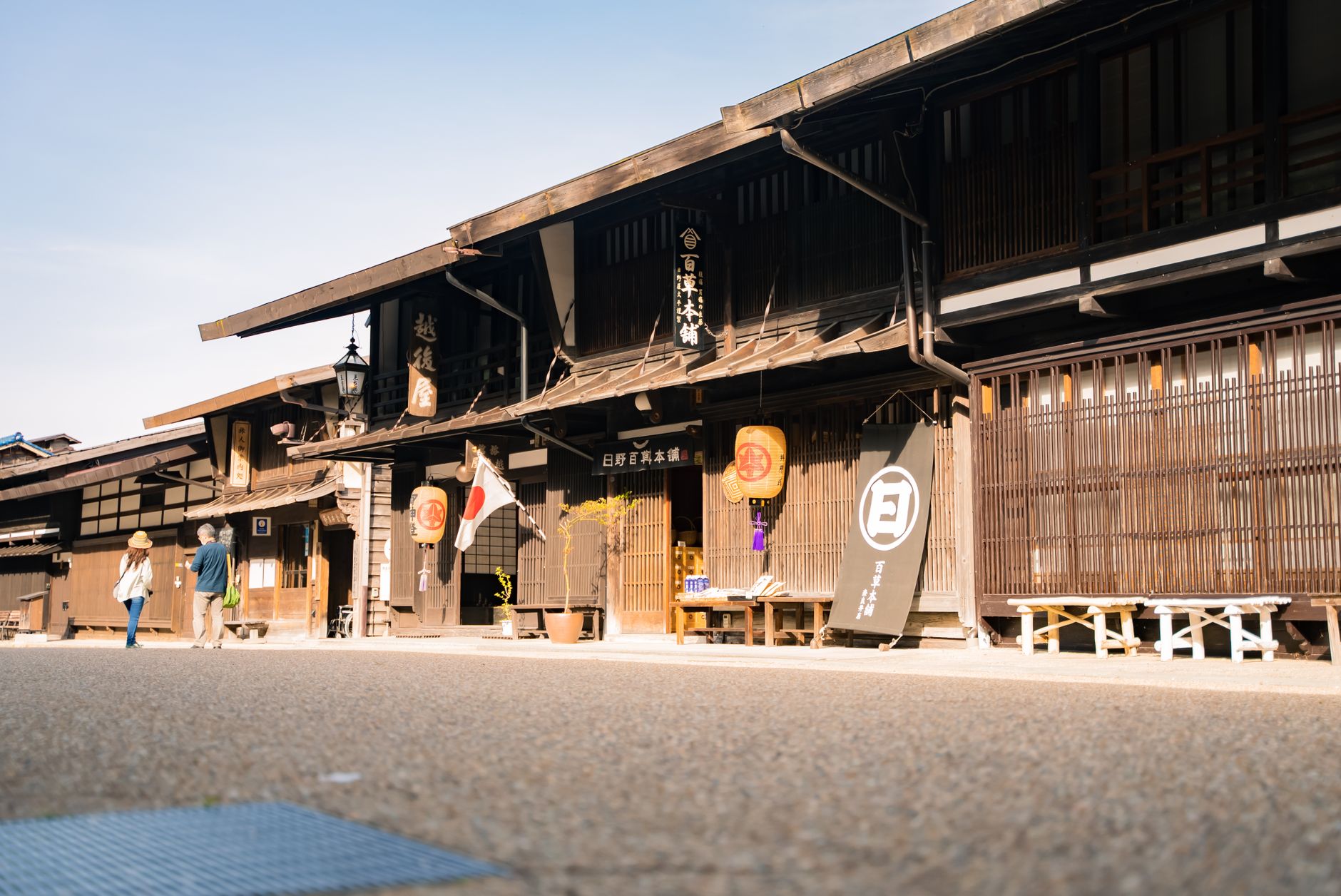
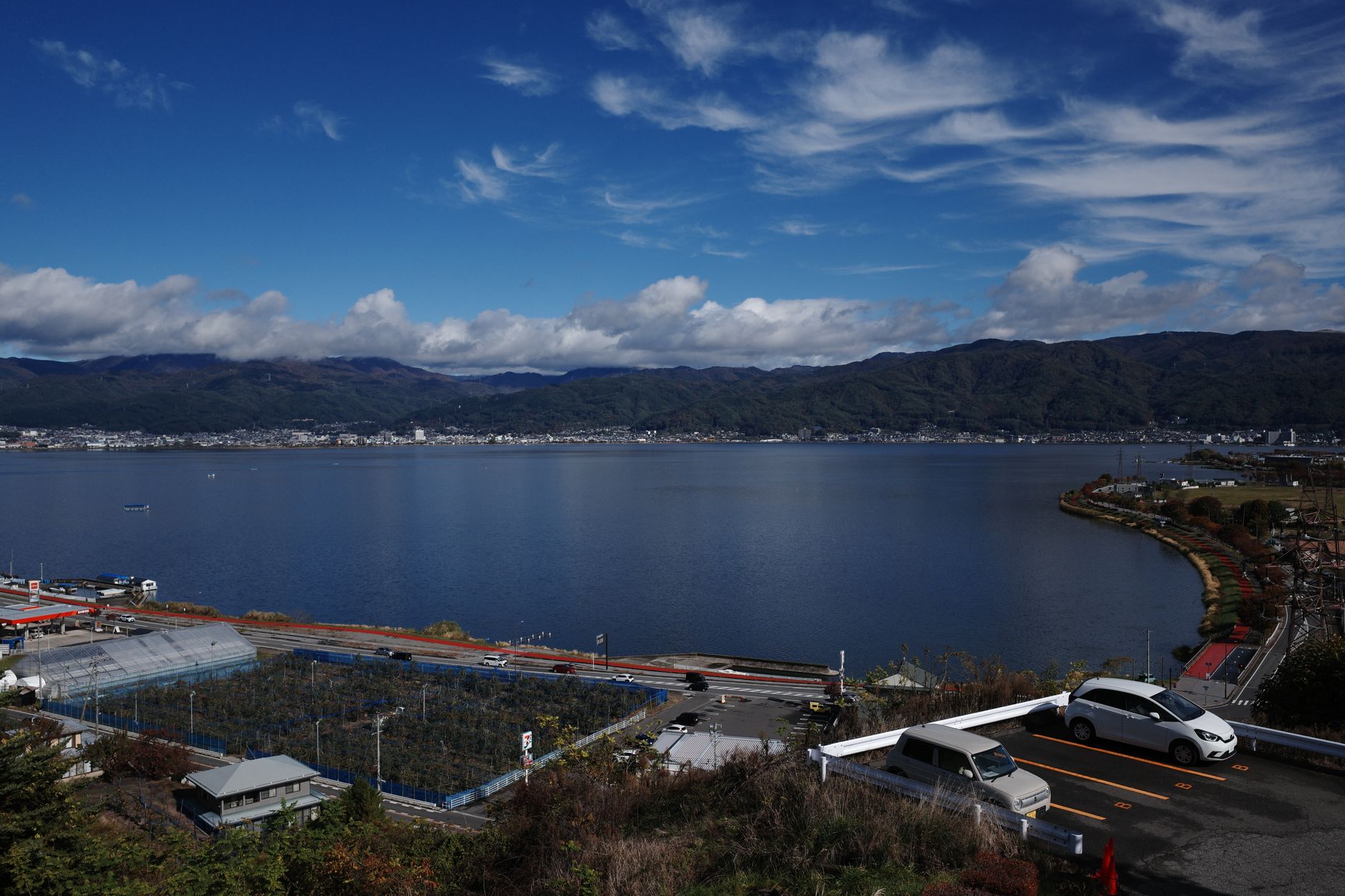
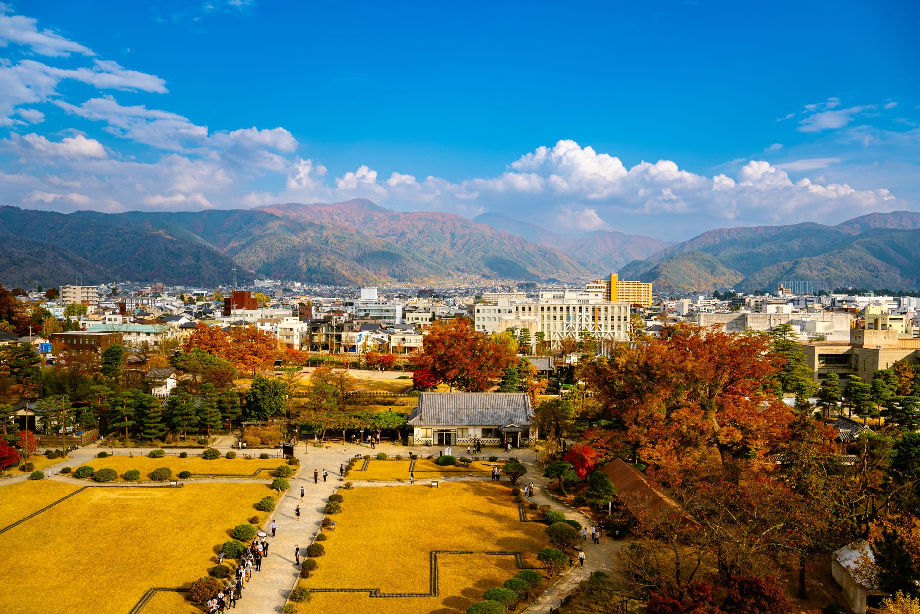
Nagano Prefecture sits in the landlocked heart of Honshu, ringed by the Japanese Alps on three sides, and the altitude shapes everything here — the cold, the snow, the particular quality of winter light, the way a macaque slides into a steaming outdoor pool while snowflakes dissolve on the water's surface. This is mountain Japan, with all the asceticism and grandeur that implies.
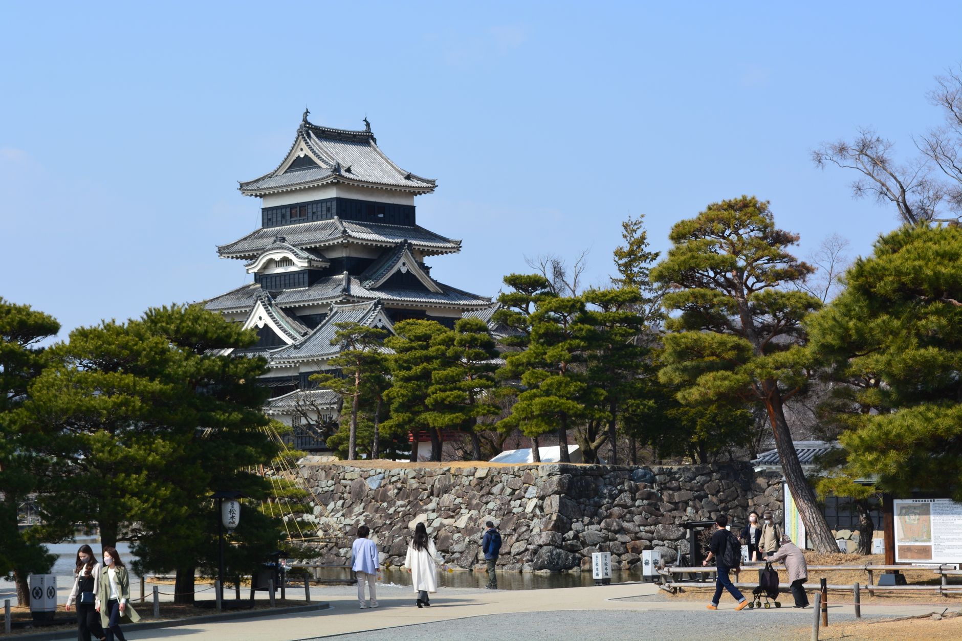
The region runs from Matsumoto's black castle keep to the cryptomeria-lined approach of Togakushi Shrine, from the carved valleys of the Oito Line to the pilgrimage streets leading up to Zenkō-ji. It rewards patience and layers.
How Nagano came to be
Nagano City grew from a temple town. Zenkō-ji was established in the 7th century and the settlement that spread around it became, by the Edo period, a staging post on the Hokkoku Kaidō highway linking Edo with the Sea of Japan coast — pilgrims and merchants moving through in both directions. The current Zenkō-ji hall dates to 1707, rebuilt mid-Edo period, and is designated a National Treasure.
Out in the wider prefecture, the 16th-century Sengoku wars left their mark at the Kawanakajima battlefields, where Takeda Shingen and Uesugi Kenshin fought a series of engagements, and at Matsumoto Castle, whose five-story keep from the same era is the oldest surviving example of its kind in Japan. The 1998 Winter Olympics, reached by shinkansen completed just months before the opening ceremony, announced Nagano to a different kind of traveller entirely.
Who and what shaped it
People who shaped it
Landmark buildings
See Nagano in motion
Plan your visit
On the map
When to go
Winters are long, cold and reliably snowy — January averages around 3°C — which makes the region exceptional for skiing and for watching the Jigokudani macaques in the hot springs. Spring, from March to May, brings mild temperatures between roughly 10°C and 22°C and is the most comfortable window for temple visits and mountain walking.
Right now
Background & history adapted from Wikipedia (CC BY-SA) · specs from Wikidata (CC0) · weather from Open-Meteo · map data © OpenStreetMap contributors · photos from Wikimedia Commons / Unsplash with per-image credit. No third-party reviews or social posts reproduced.