
Mustang District
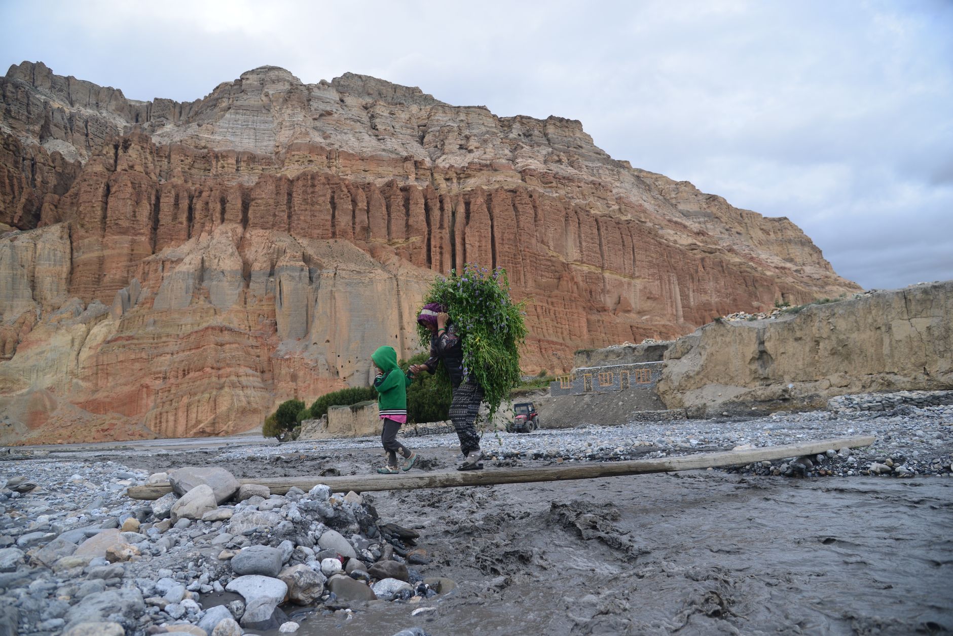
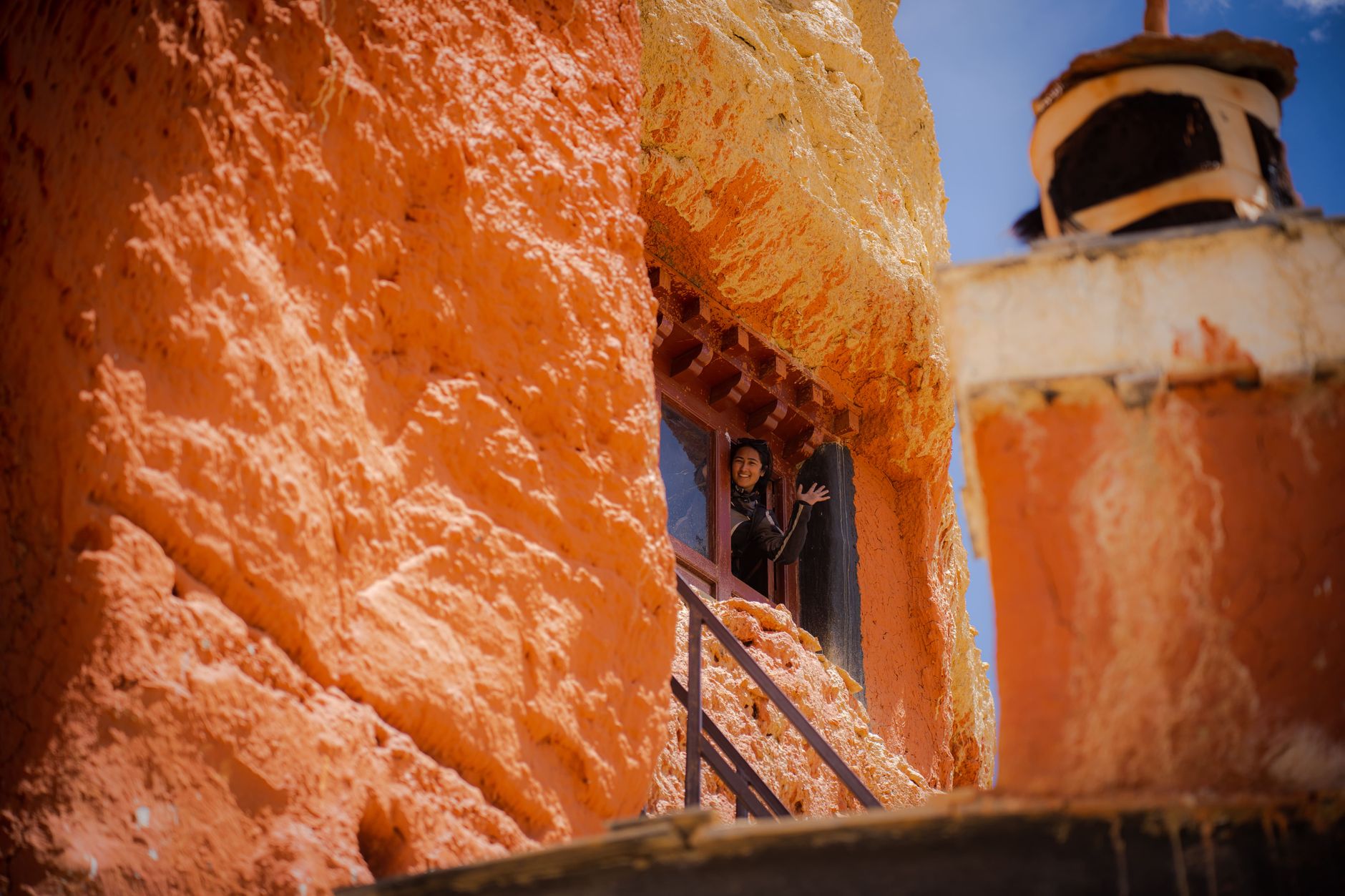
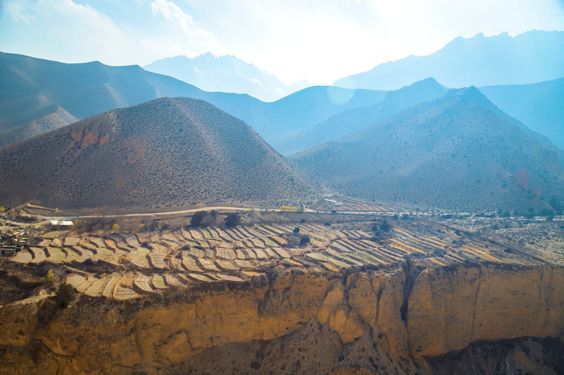
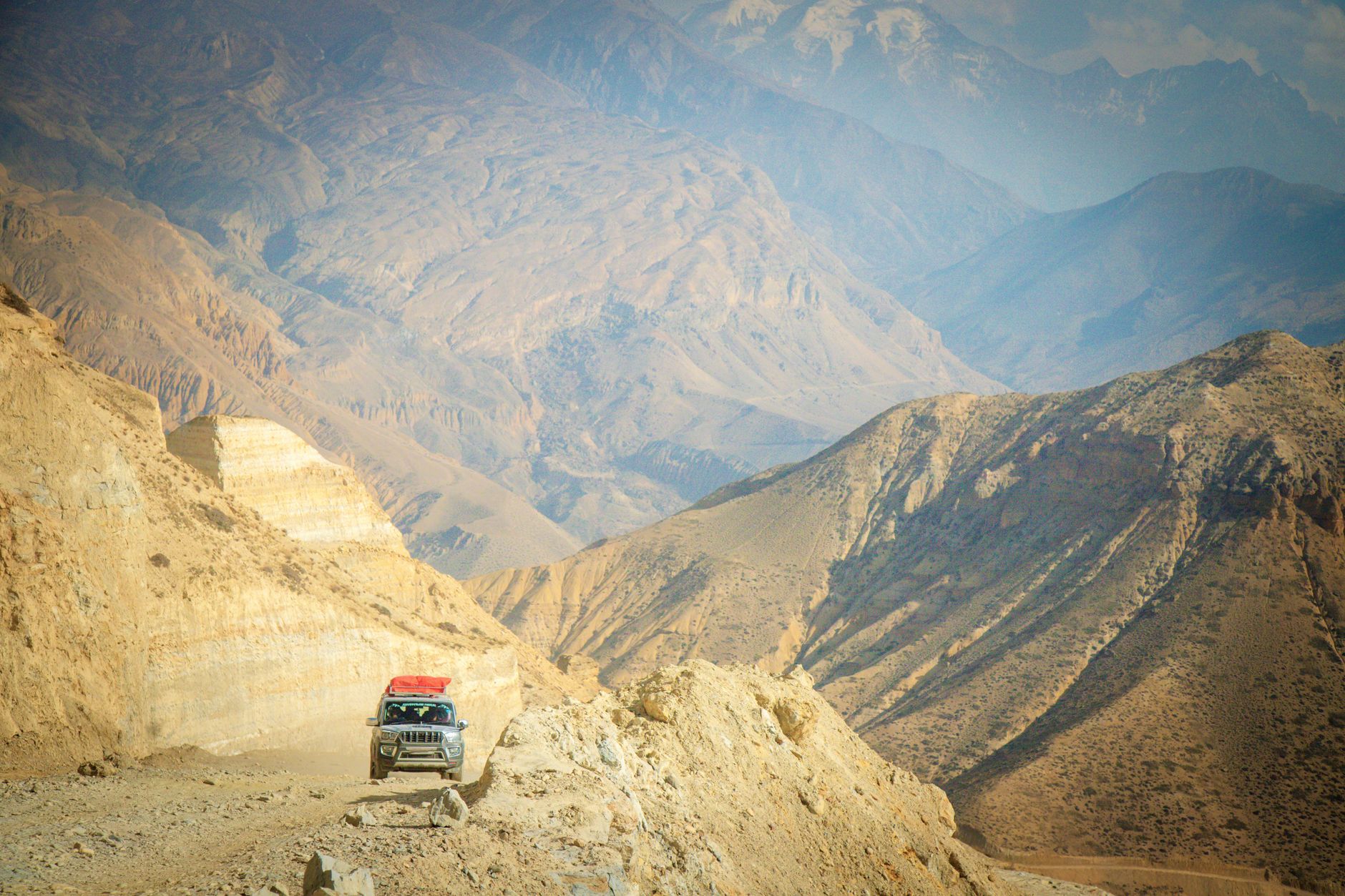
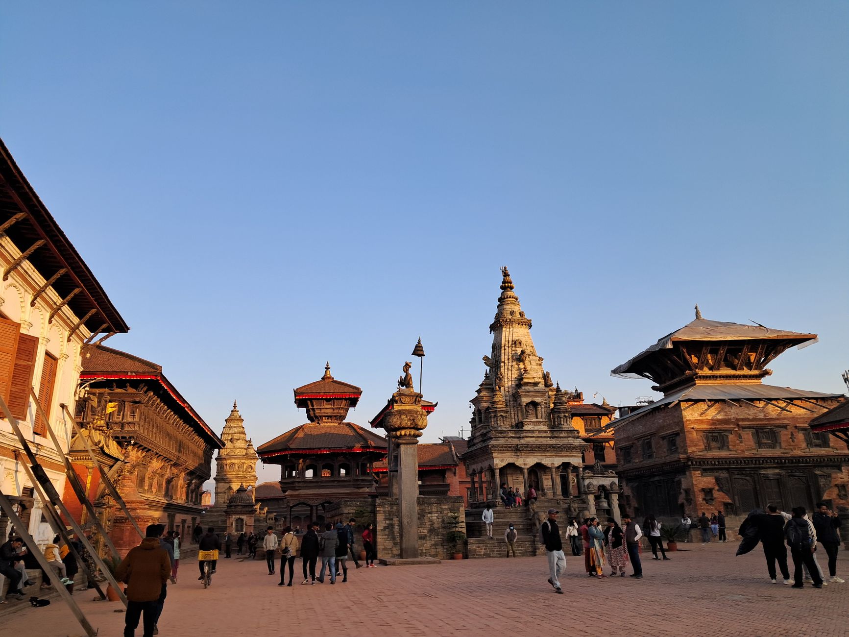
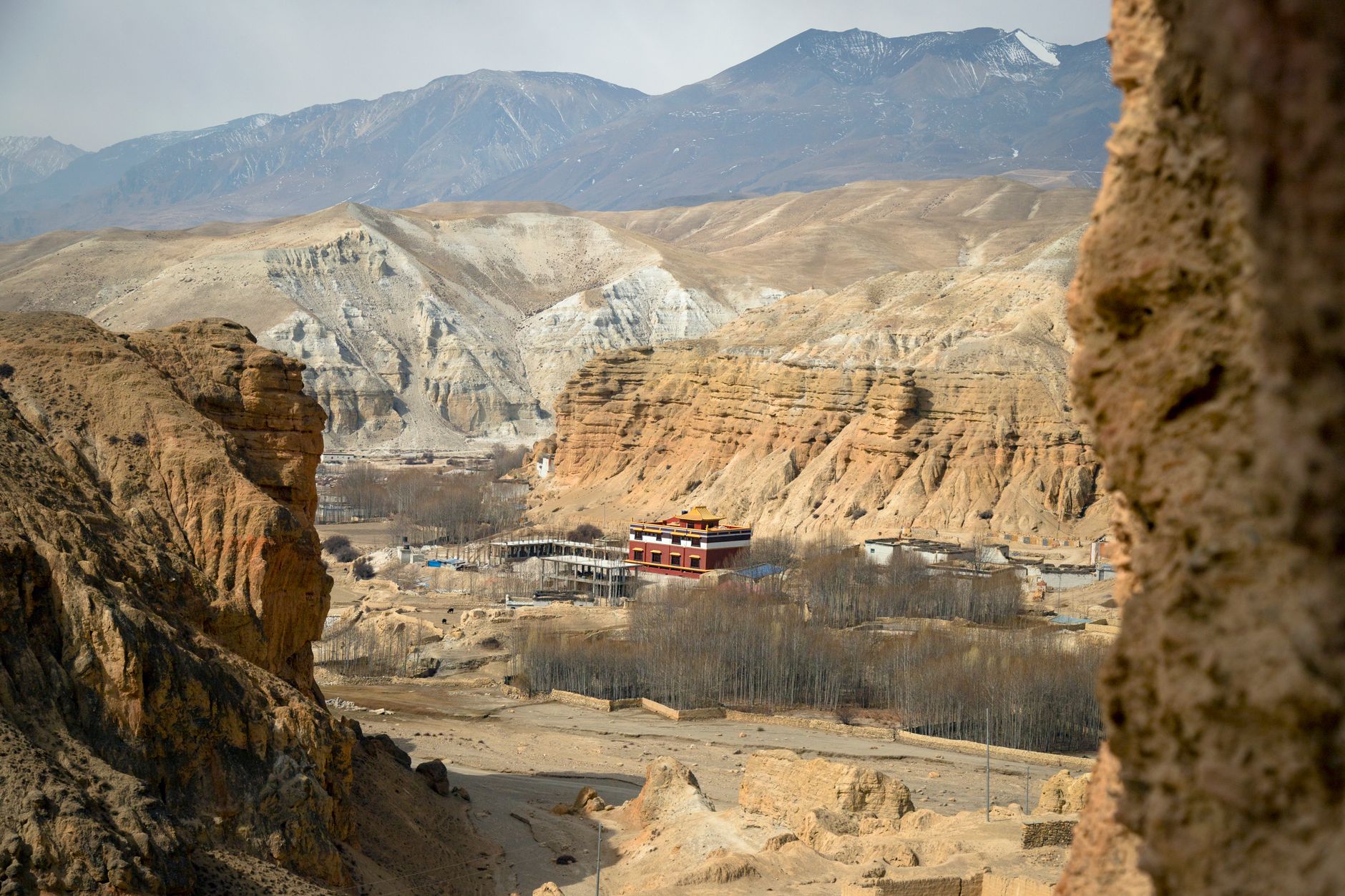
The first thing you notice in Upper Mustang is the colour — or rather, the absence of it. The landscape is a stripped-back palette of ochre, rust and grey, eroded into canyons and plateaus that look more like the American Southwest than anything you'd expect a short flight north of Pokhara. Then Lo Manthang appears: a walled city of whitewashed mud-brick, the only one of its kind in Nepal, rising from the high plateau at around 3,800 metres as if it simply refused to dissolve into the dust around it.
Mustang occupies Nepal's far north, wedged against the Tibetan border along the ancient salt-trade corridor of the Kali Gandaki. The river carved the world's deepest gorge here, and for centuries traders moved between the Himalayas and India through this corridor. That history is still legible — in the walled lanes of Lo Manthang, in cave complexes cut into cliff faces thousands of years ago, and in the Tibetan dialect still spoken in Kagbeni and Muktinath.
How Mustang District came to be
In 1380, a ruler named Ame Pal founded the Kingdom of Lo and oversaw the construction of Lo Manthang, its walled capital. The palace he built — nine-cornered, five storeys, raised around 1400 — still stands inside the city walls. For two centuries after, Mustang sat at the intersection of Himalayan and Indian trade routes, which made it wealthy and strategically significant enough to hold onto a degree of independence long after the Gorkha dynasty annexed it in 1795. The Lo kings continued to rule locally as a tributary kingdom, paying symbolic tribute while keeping their own affairs.
The 20th century brought sharper disruption. After China consolidated control over Tibet in 1959, Khampa guerrillas used Mustang's remote valleys as a base for resistance operations, and Nepal responded by closing the region entirely. Trekkers were not permitted until 1992. The last official king, Jigme Dorje Palbar Bista — who traced his lineage directly back to Ame Pal across 25 generations — saw his title formally dissolved on 7 October 2008, when Nepal became a republic.
Who and what shaped it
People who shaped it
Landmark buildings
See Mustang District in motion
Plan your visit
On the map
When to go
The trekking window runs roughly March to November; late spring (April–May) brings wildflowers to the lower valleys, while September and October offer clear skies and stable trails after the monsoon. Because Mustang sits in the rain shadow of the Annapurna and Dhaulagiri massifs, it receives far less monsoon rainfall than the rest of Nepal — making it one of the few Himalayan regions where a summer trek is genuinely viable. Winters are cold and roads can close; plan accordingly.
Right now
Background & history adapted from Wikipedia (CC BY-SA) · specs from Wikidata (CC0) · weather from Open-Meteo · map data © OpenStreetMap contributors · photos from Wikimedia Commons / Unsplash with per-image credit. No third-party reviews or social posts reproduced.