
Mui Ne
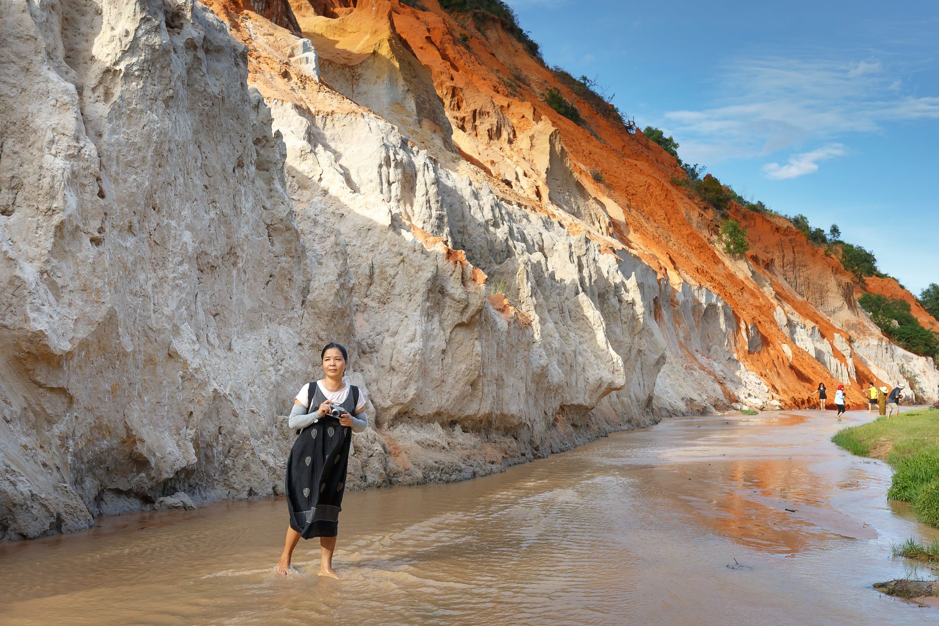
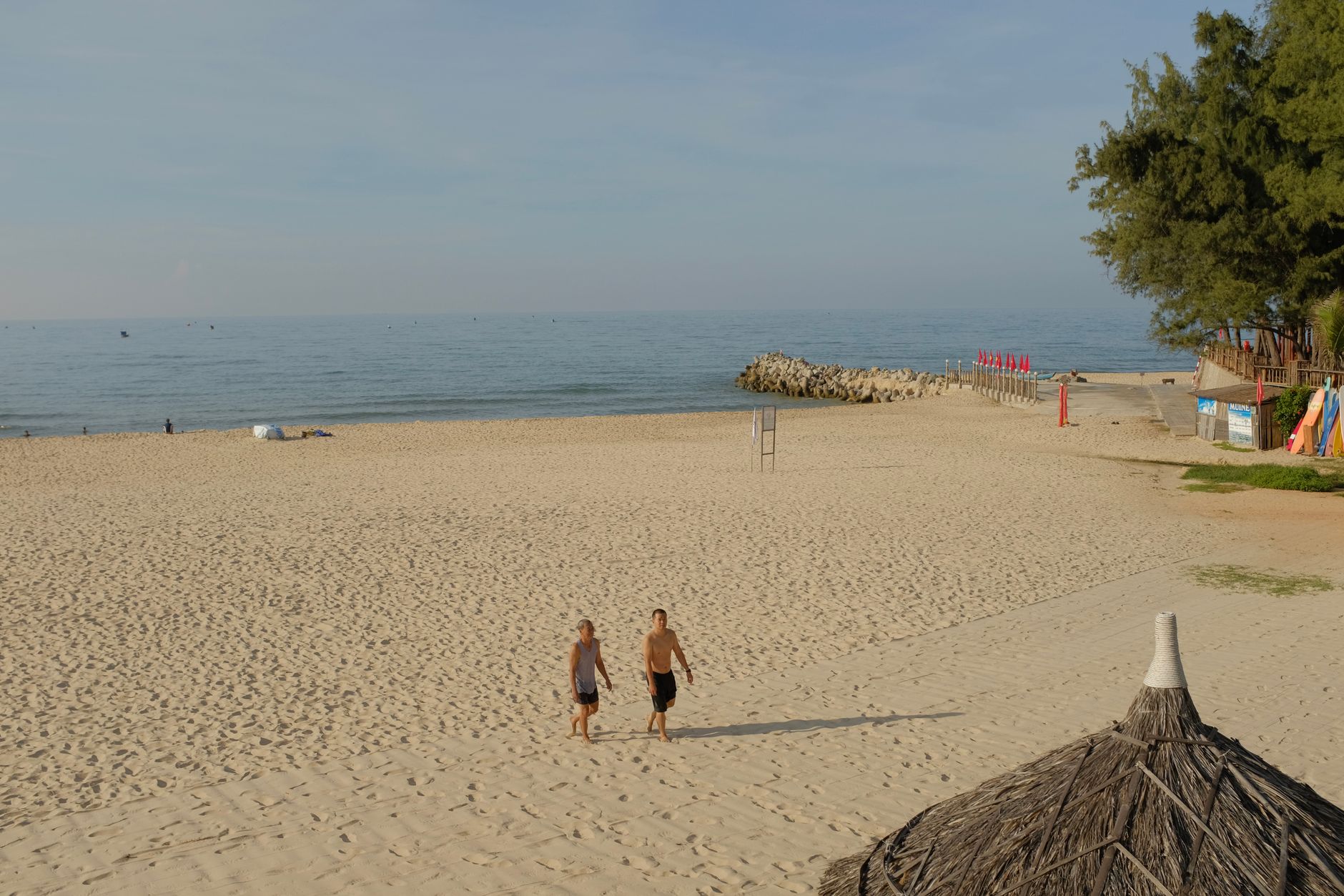
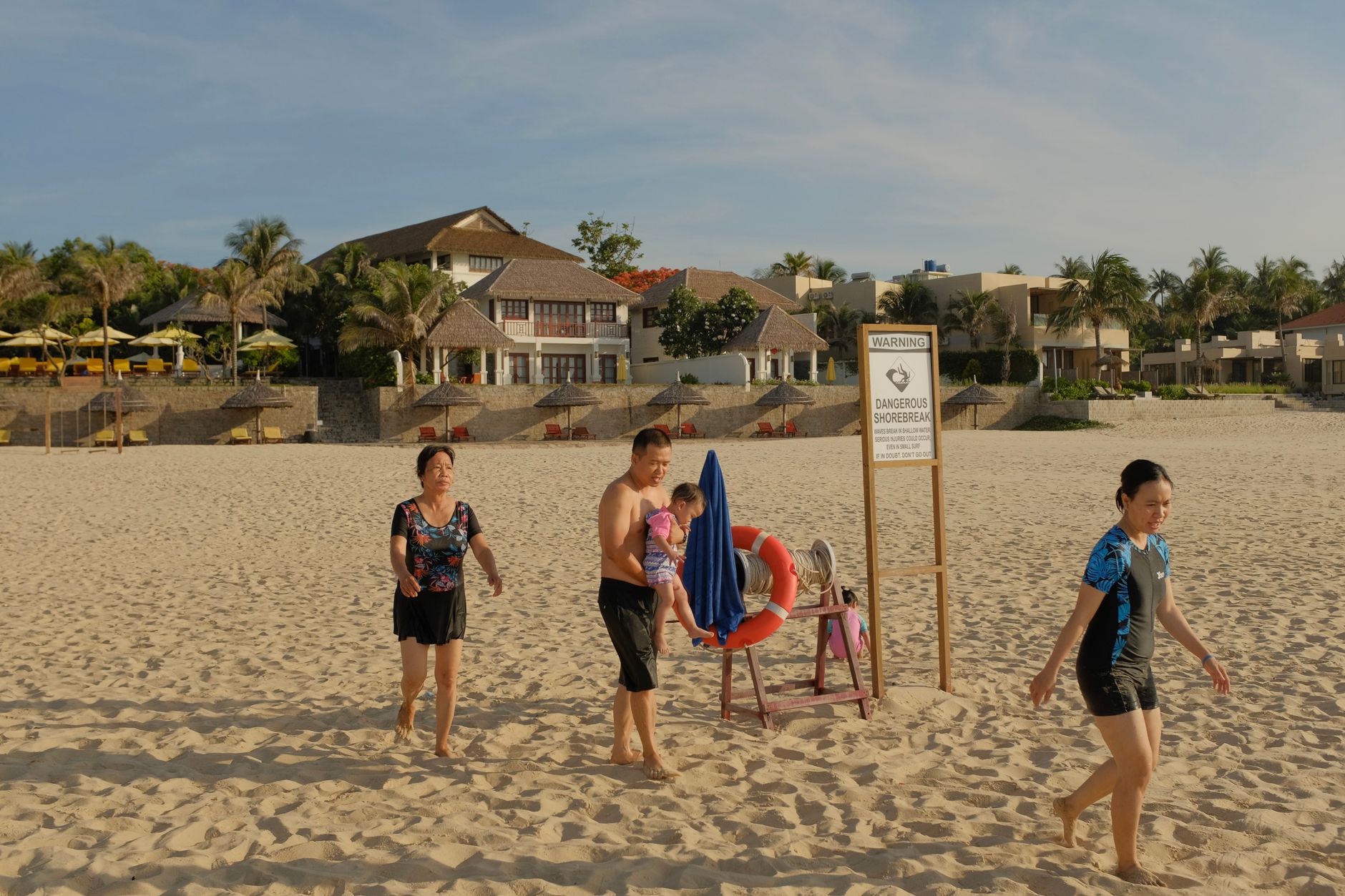
Mui Ne is the place where the Vietnamese coast turns strange. Within a few kilometres of the beach, the land gives way to dunes — red-brown ones close to town, pale yellow ones further out at Bau Trang — and a shallow stream runs orange through eroded sandstone as if the desert and the sea have struck some private deal. The fishing boats still go out before dawn, and the smell of fermenting fish sauce drifts from Phan Thiet, which has been making it for three centuries.
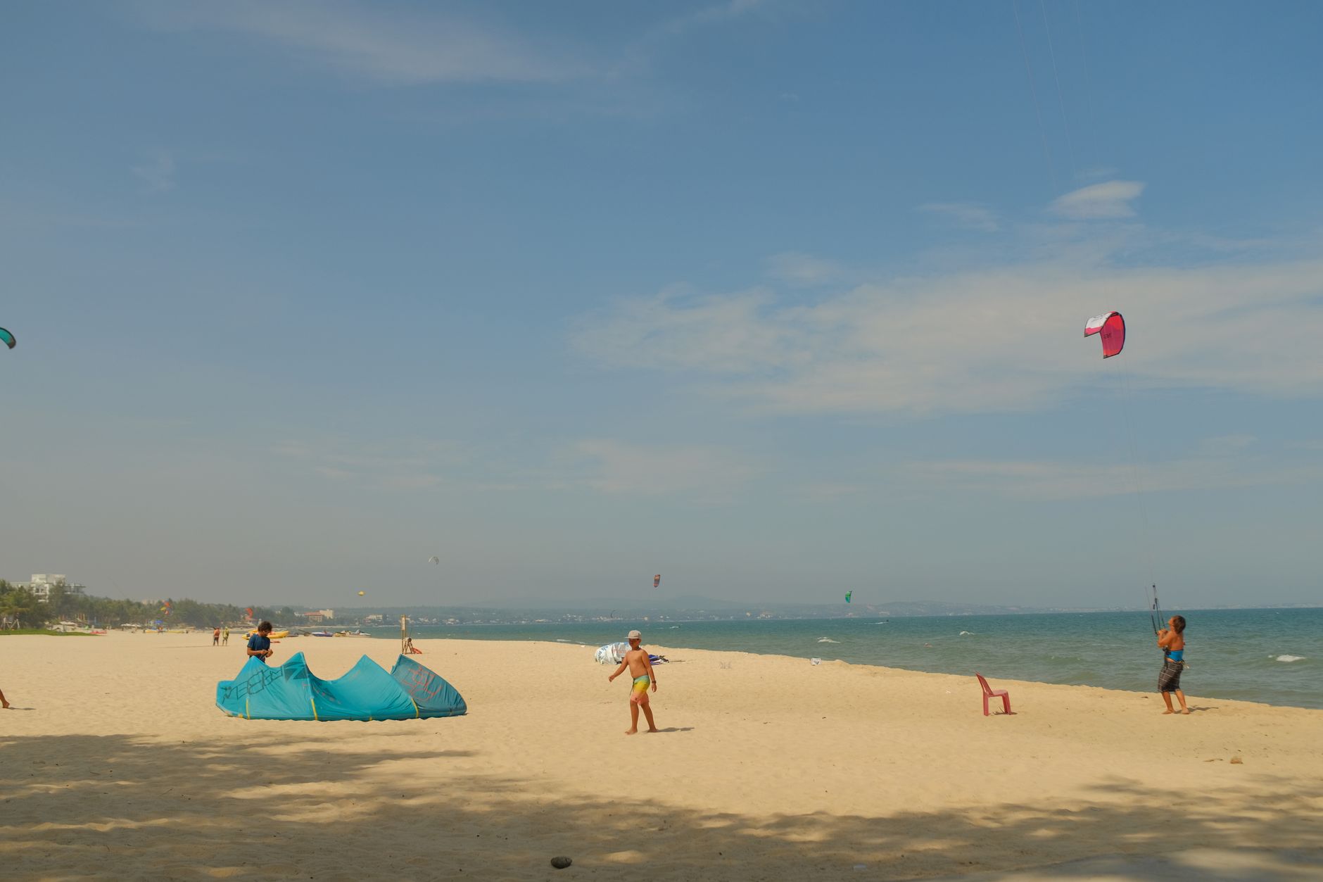
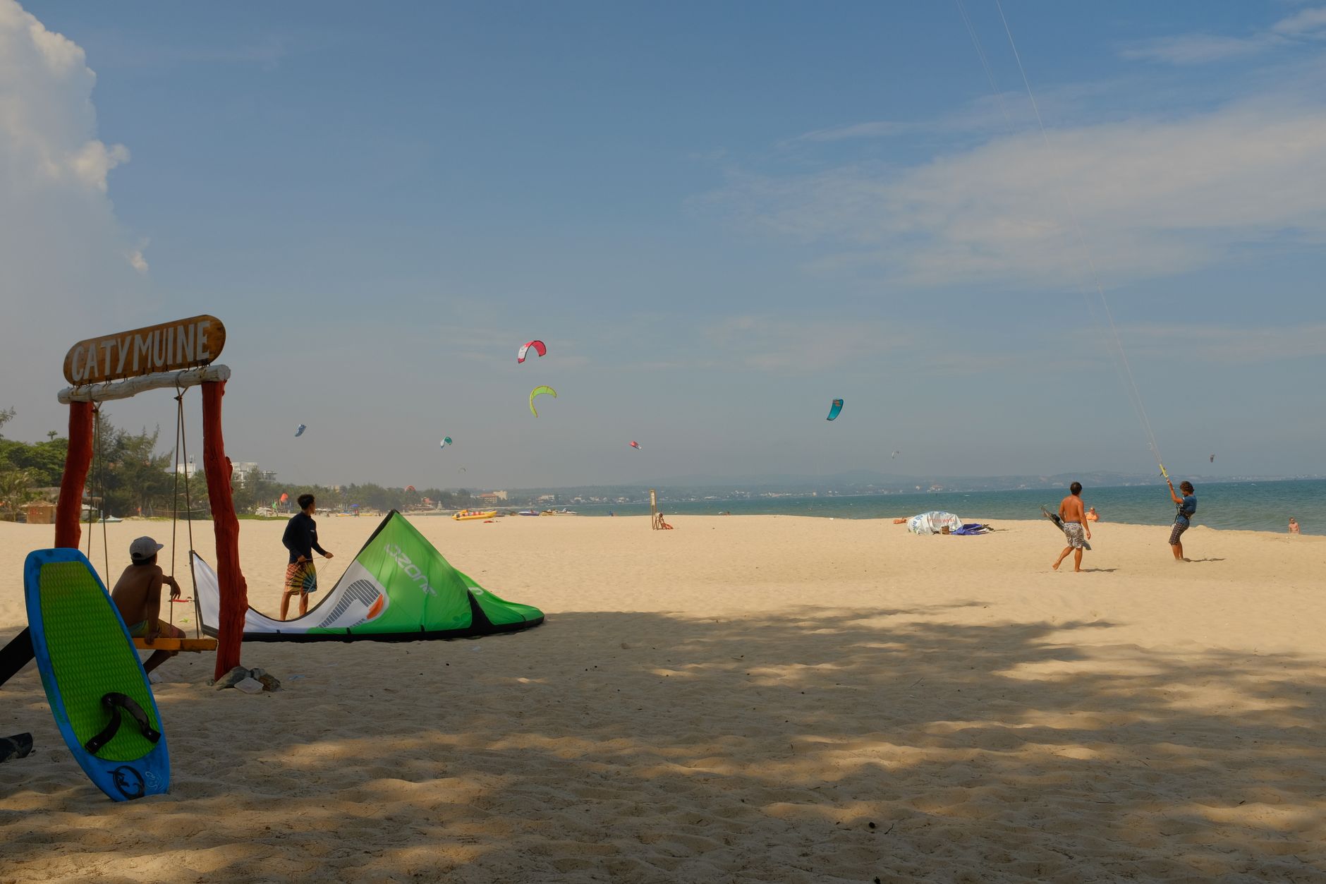
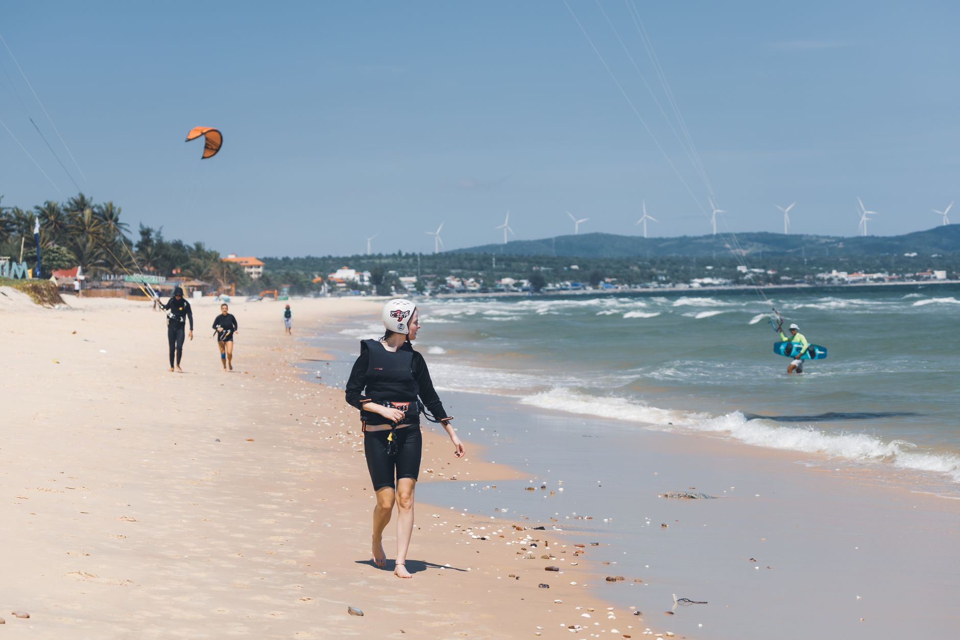
The strip of coast here runs roughly 50 kilometres, lined with resorts that started appearing after a solar eclipse drew crowds in October 1995 and travellers realised they'd arrived somewhere worth staying. Kitesurfers found it not long after, drawn by the reliable winds that blow in from the South China Sea each afternoon.
💛 What travellers fall for
People who come back tend to rent a motorbike early and get to the White Sand Dunes before the jeep tours arrive. The Fairy Stream is worth the barefoot wade — go in the morning when the light hits the orange walls low. Lang Chai Xua museum takes an hour and reframes everything else you see along the coast.
How Mui Ne came to be
The name encodes the place: "mui" for cape, "ne" for dodging — a shelter from storms that fishermen knew well before it had a formal identity. The Cham Kingdom held this coastline long before Vietnamese rule, and the Po Shanu towers above Phan Thiet, built in the eighth century to honour Shiva, Agni and Nandi, mark that presence in brick that has outlasted the empire by more than a millennium.
In 1692, Nguyen Phuc Chu took the area and named it Binh Thuan Dinh, folding it into the expanding Nguyen domain. Mui Ne itself became an administrative ward in 1979 and was reshuffled again under Phan Thiet in 1982. Its transformation into a resort coast came later and fast, triggered by the solar eclipse of October 24, 1995, when visitors arrived to watch the sky go dark and stayed to look at the dunes.
Who and what shaped it
Landmark buildings
See Mui Ne in motion
Plan your visit
On the map
When to go
The dry season runs roughly from November to April, with the strongest and most consistent winds arriving between November and March — prime time if you're here for kitesurfing. The rainy season brings humidity and occasional heavy downpours from May onward, though even then the rains rarely last all day.
Right now
Background & history adapted from Wikipedia (CC BY-SA) · specs from Wikidata (CC0) · weather from Open-Meteo · map data © OpenStreetMap contributors · photos from Wikimedia Commons / Unsplash with per-image credit. No third-party reviews or social posts reproduced.