
Mount Kinabalu
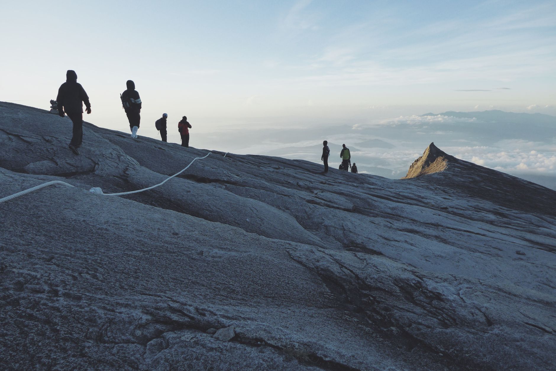
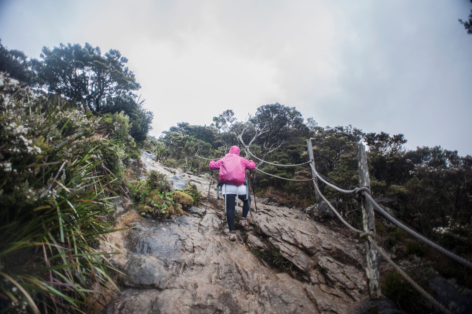
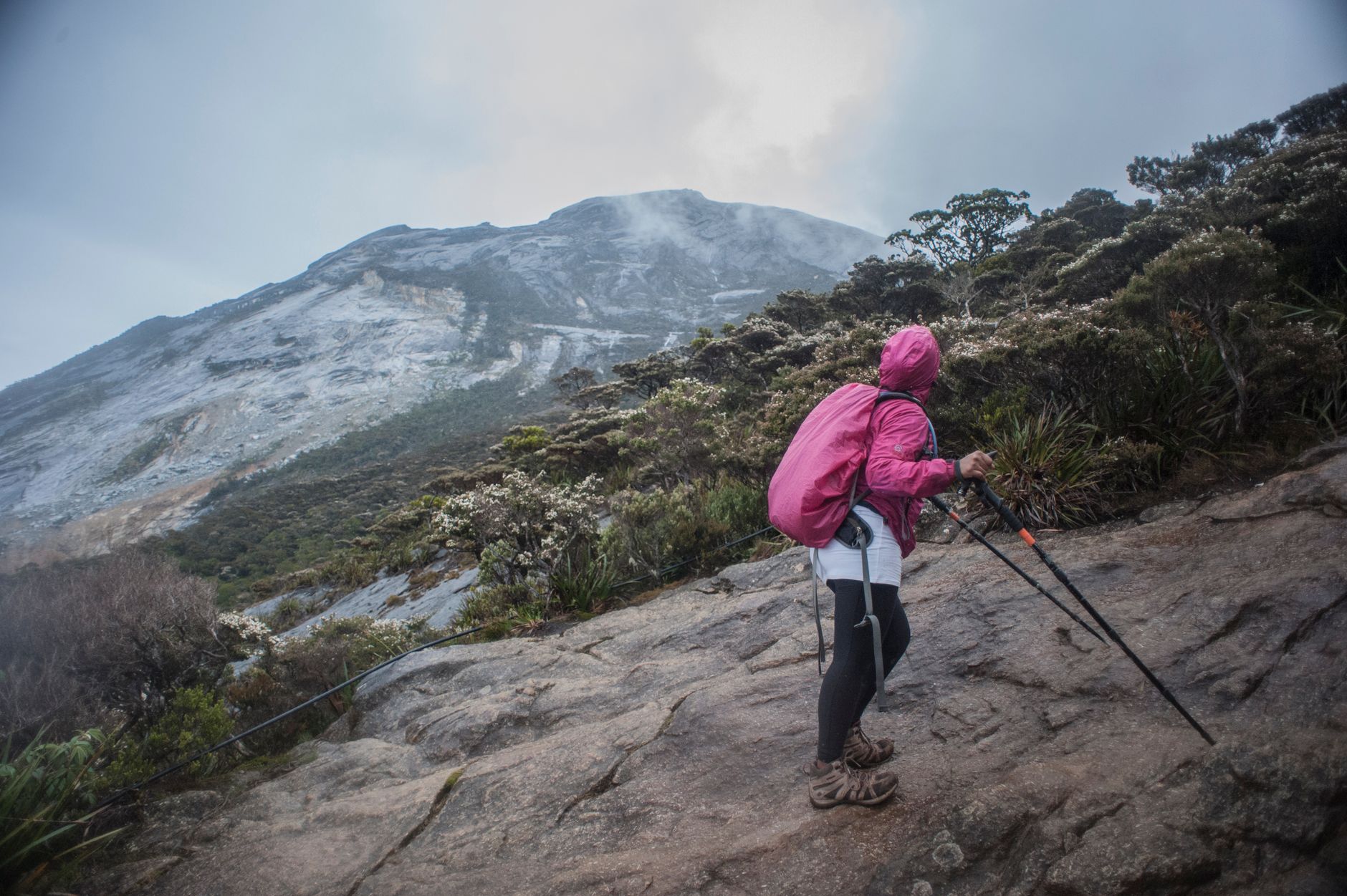
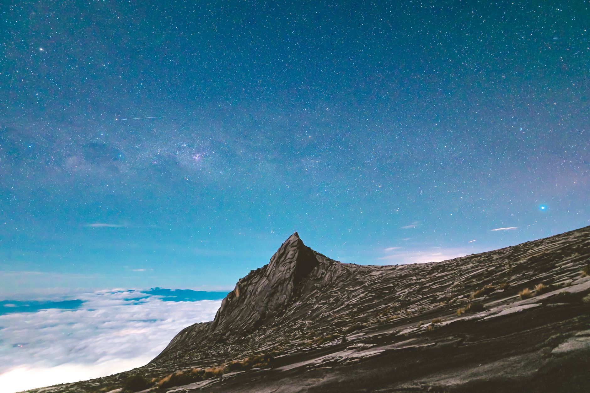
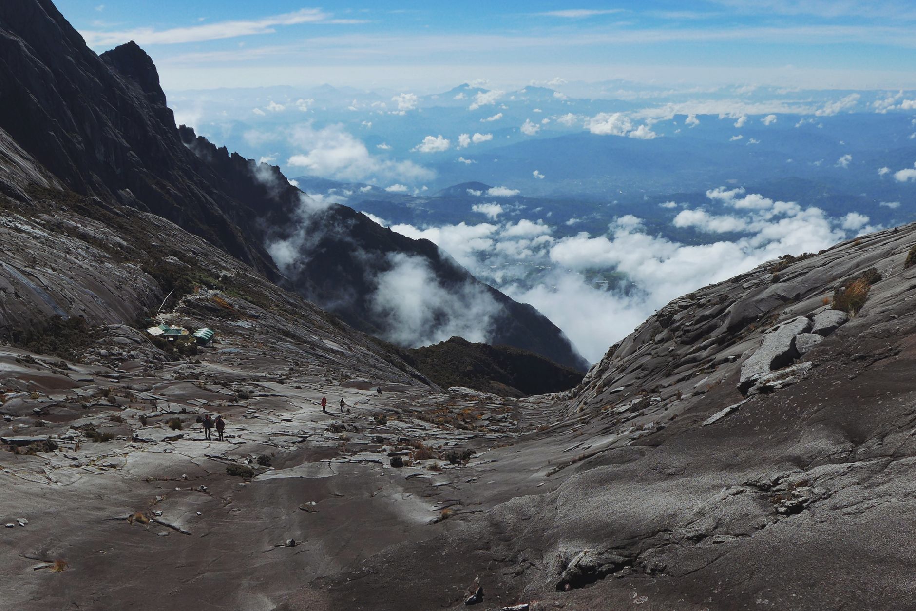
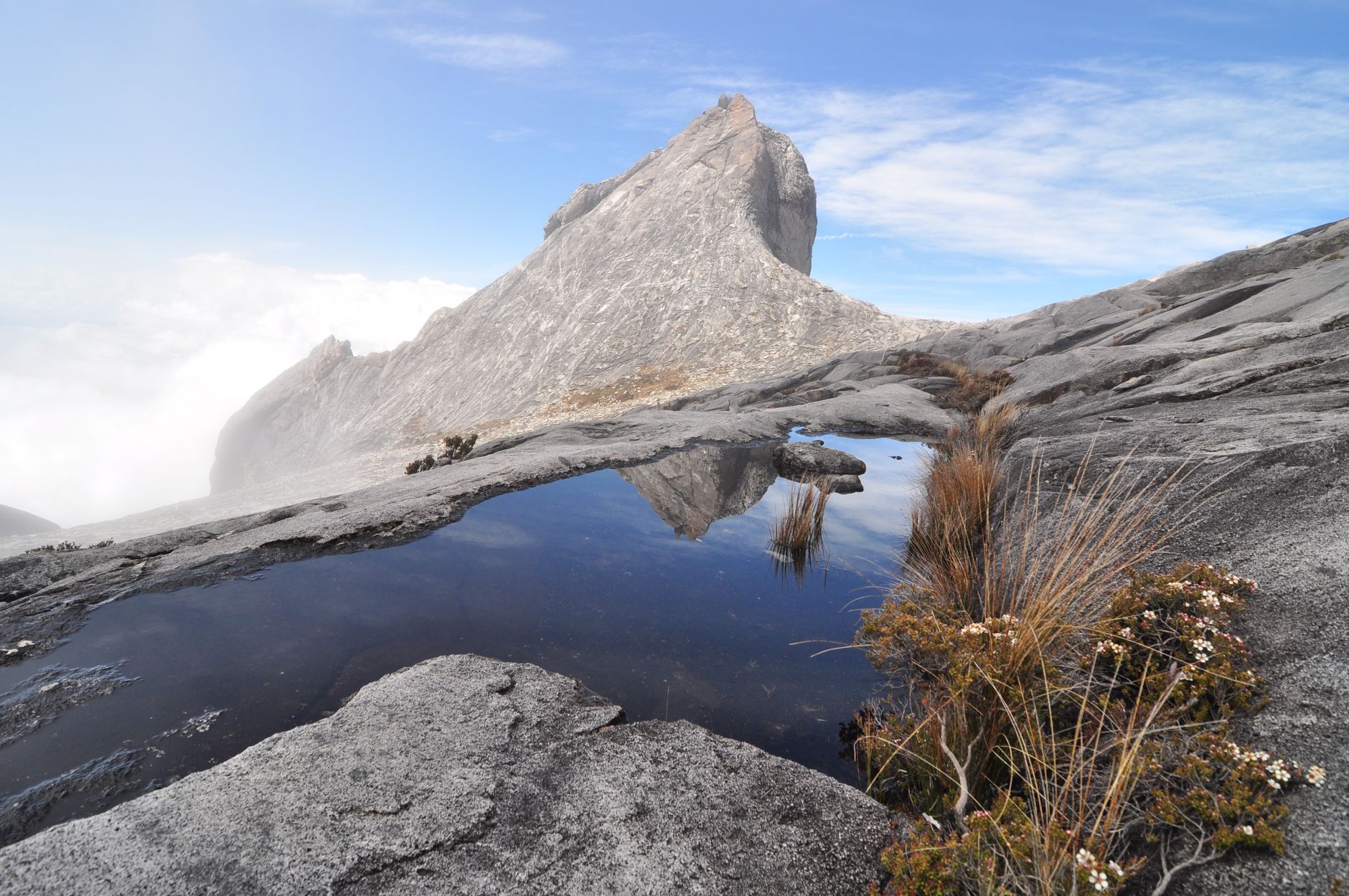
The name comes from the Kadazan words for 'the revered place of the dead,' and standing at the foot of the mountain, that etymology doesn't feel melodramatic. At 4,095 metres, Mount Kinabalu rises above Borneo's rainforest canopy as one of the youngest granitic peaks on Earth — geologically speaking, it barely has a past.
Kinabalu Park, established in 1964, was Malaysia's first national park and the country's first UNESCO World Heritage Site. Most of the 163 daily climb permits go fast — solo climbers are advised to book eight months out — but the park draws far more visitors than it sends to the summit, and the gardens and jungle trails near the entrance are worth the trip on their own terms.
How Mount Kinabalu came to be
In March 1851, British colonial administrator Hugh Low became the first recorded person to reach the summit plateau, led by a local Dusun guide named Lemaing from Kampung Kiau. Low stopped short of the highest peak, describing it as accessible only to 'winged animals.' He returned twice more with Spenser St. John, the British Consul in Brunei, in 1858. Low also first observed the 1,800-metre gorge on the mountain's north face that now carries his name.
The mountain itself is far older than any of these accounts. It formed roughly 15 million years ago from a granitic intrusion pushed upward by tectonic collision — a process that has made it one of only 100 geological heritage sites recognised by the International Union of Geological Sciences.
Who and what shaped it
People who shaped it
Landmark buildings
See Mount Kinabalu in motion
Plan your visit
On the map
When to go
At the summit, temperatures sit between 0°C and 3°C on most days, dropping to −4°C in December and January; pack layers even if you're arriving from lowland heat. February and March are the driest and clearest months for the climb, while October and November bring heavier rain.
Background & history adapted from Wikipedia (CC BY-SA) · specs from Wikidata (CC0) · weather from Open-Meteo · map data © OpenStreetMap contributors · photos from Wikimedia Commons / Unsplash with per-image credit. No third-party reviews or social posts reproduced.