
Mount Kilimanjaro
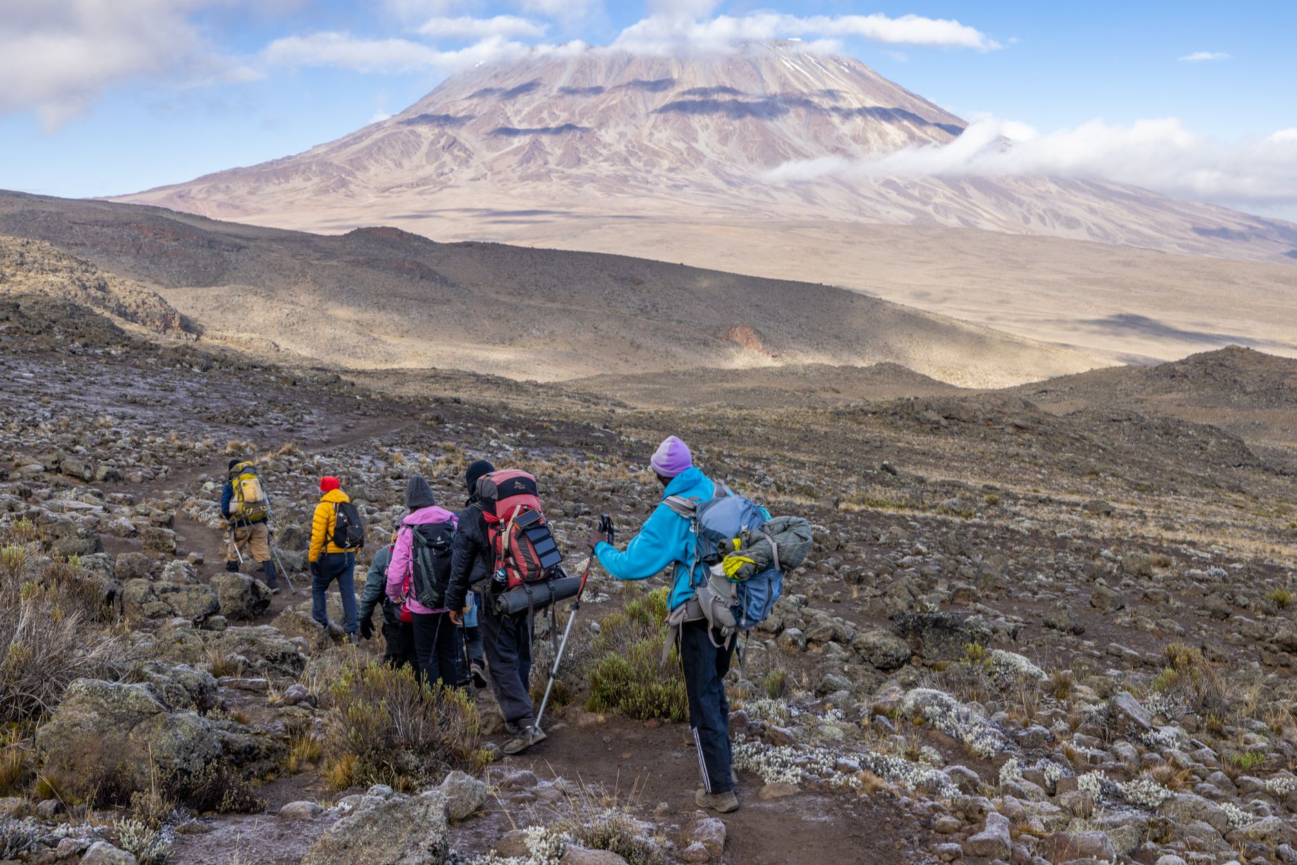
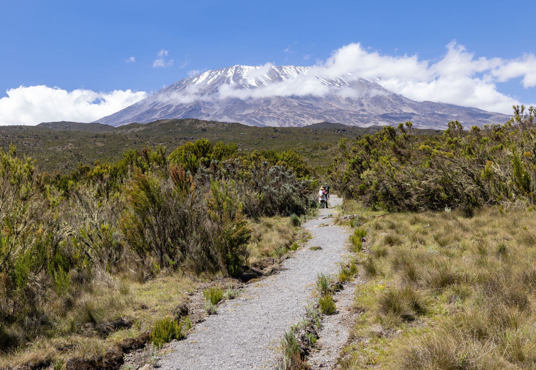
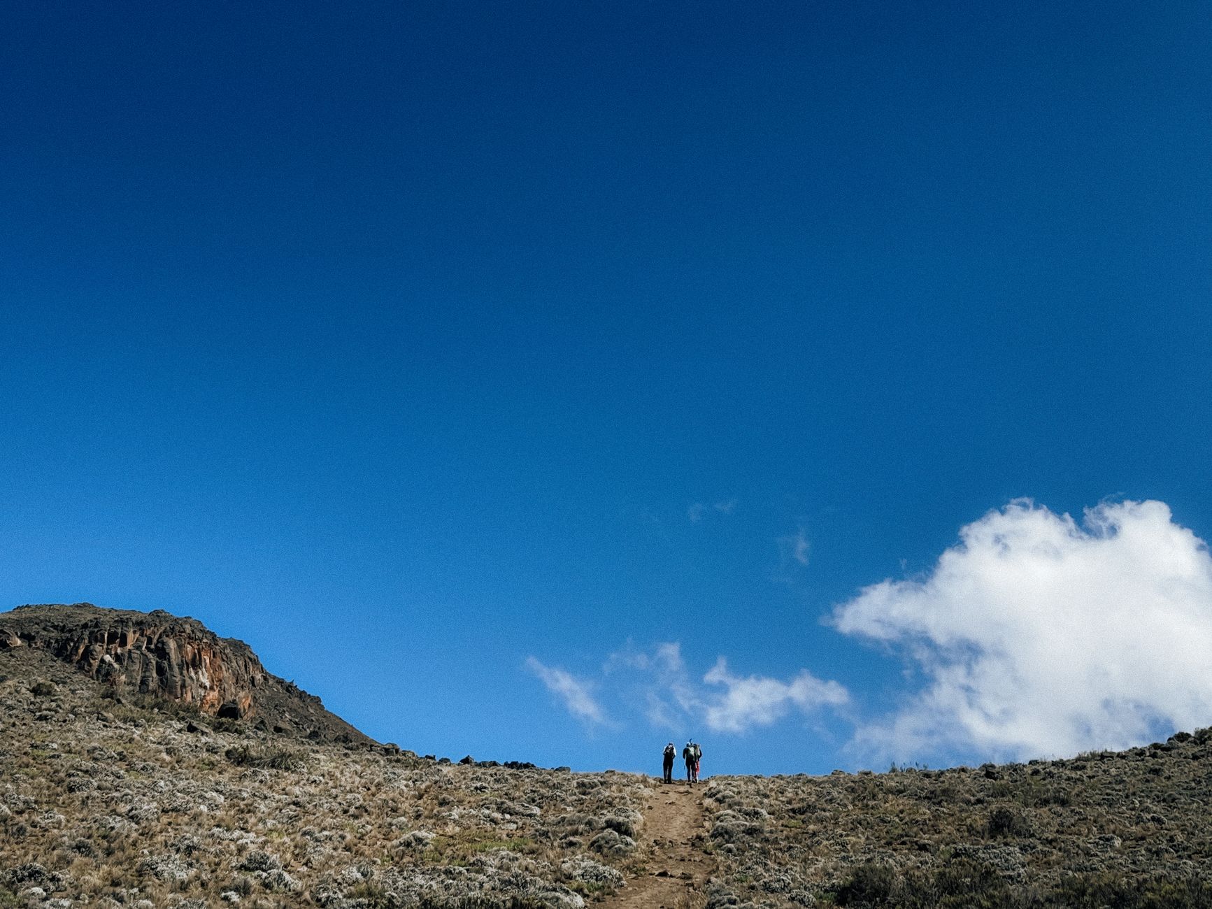
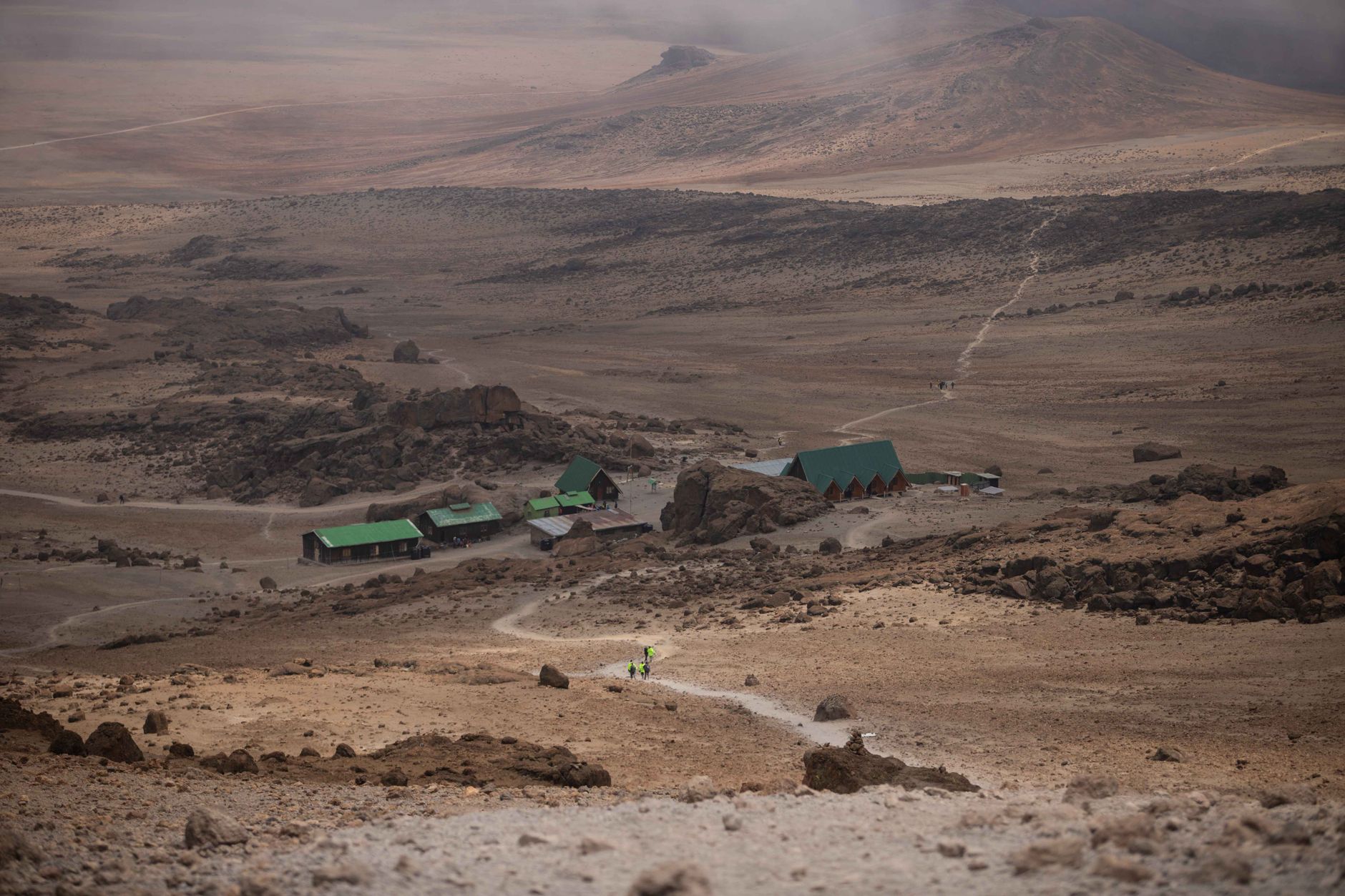
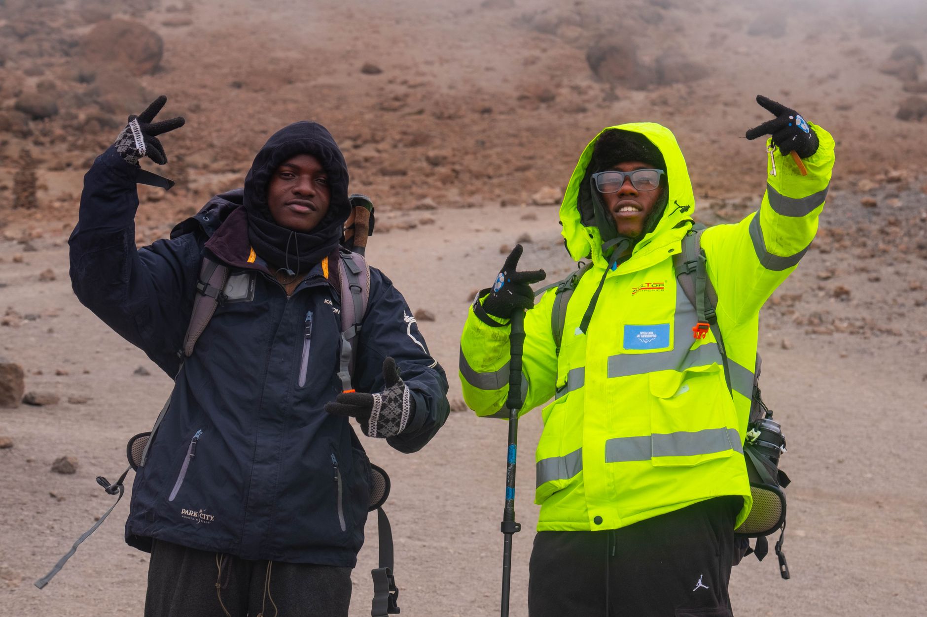
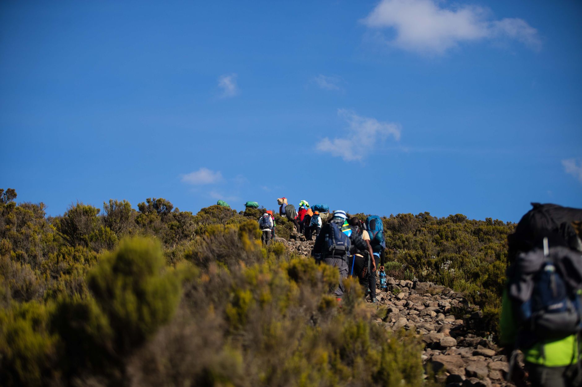
Kilimanjaro is the highest freestanding mountain on earth, rising from the Tanzanian plains to 5,895 metres at Uhuru Peak — and what makes the climb strange and particular is that you don't need crampons or a rope. You walk. Through rainforest, then moorland, then a lunar desert of volcanic rock, then ice. The altitude does the hard work.
The mountain is not one peak but three volcanic cones — Shira, Mawenzi, and the dominant Kibo — spread across roughly 40 kilometres. Kibo is dormant, not extinct. Inside its summit crater sits the Reusch Crater, and inside that, an Ash Pit from the last volcanic activity a little over two centuries ago.
How Mount Kilimanjaro came to be
Kilimanjaro began forming around 750,000 years ago when lava broke through the fractured floor of the Great Rift Valley in three massive volcanic events. Shira, the oldest cone, went quiet around 500,000 years ago. Kibo's most recent activity left the Ash Pit that still sits inside Reusch Crater today — it's classified dormant, not dead.
The first European to report the mountain was Johannes Rebmann in 1848, a claim met with scepticism back home — snow on the equator seemed implausible. The first confirmed ascent came on October 6, 1889, when German geographer Hans Meyer and Austrian alpinist Ludwig Purtscheller reached the summit, guided by an 18-year-old Chagga man named Yohane Lauwo, who went on to guide climbers on the mountain for over seventy years.
Who and what shaped it
People who shaped it
Landmark buildings
See Mount Kilimanjaro in motion
Plan your visit
On the map
When to go
January through early March and June through October are the clearest, most comfortable months to trek. April and May bring the heaviest rains and are best avoided; November has a shorter wet spell. Temperature at the lower cultivated slopes averages 21–27°C, but conditions shift dramatically with altitude — expect cold nights and near-freezing temperatures as you approach the summit.
Right now
Background & history adapted from Wikipedia (CC BY-SA) · specs from Wikidata (CC0) · weather from Open-Meteo · map data © OpenStreetMap contributors · photos from Wikimedia Commons / Unsplash with per-image credit. No third-party reviews or social posts reproduced.