
Mount Kenya National Park
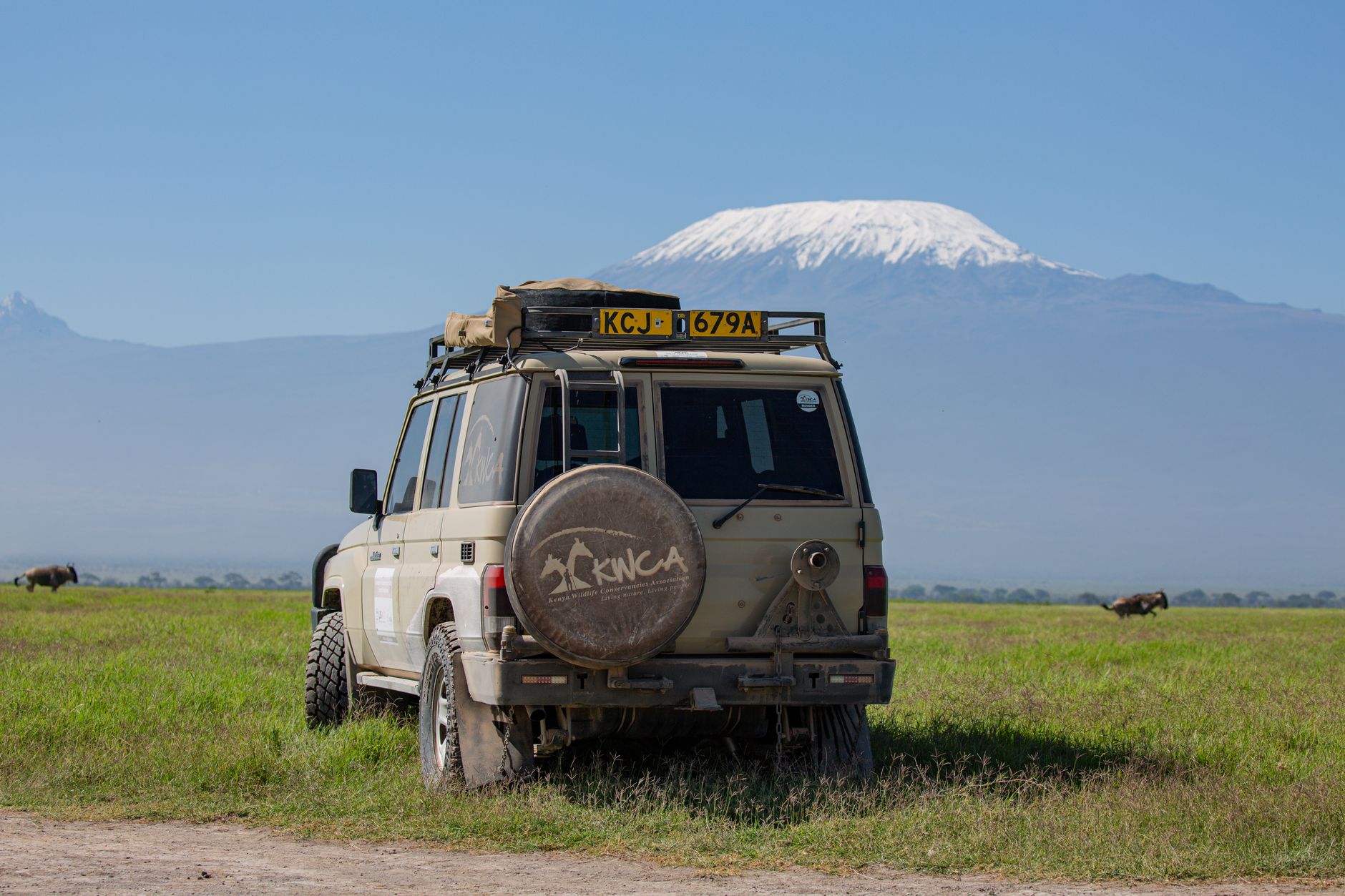
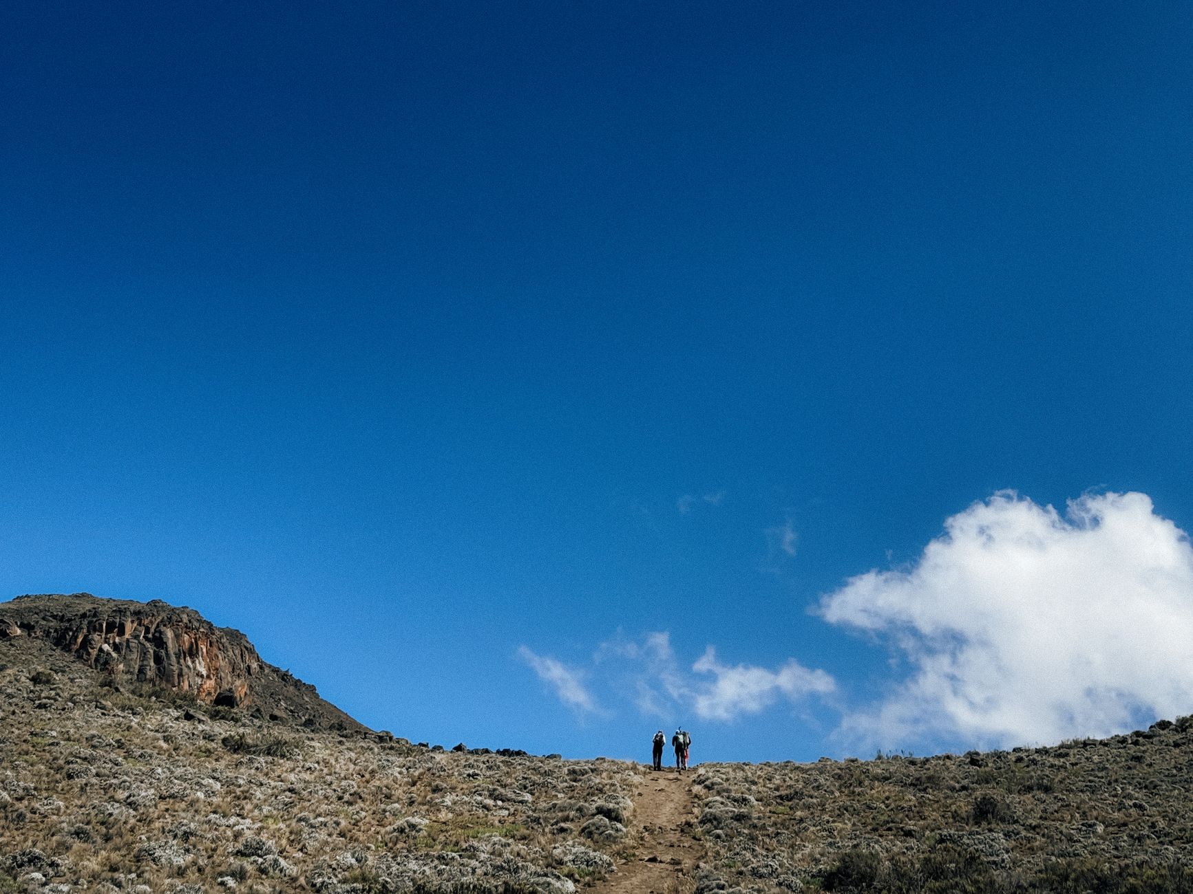
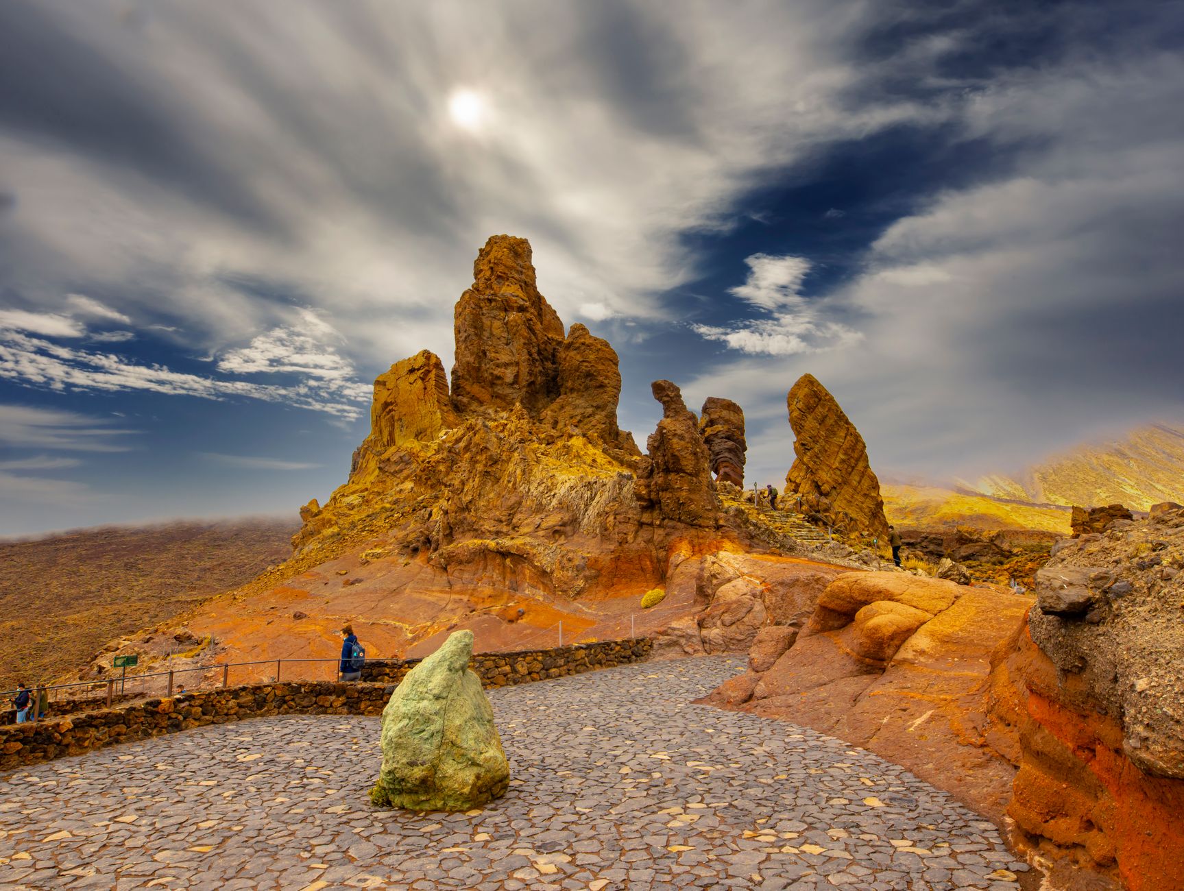

Mount Kenya sits almost exactly on the equator, which makes the fact of its glaciers — twelve of them, all retreating — feel like a quiet contradiction. The second-highest peak on the continent, Batian, tops out at 5,199 metres, and on a clear morning you can see its snow-streaked summit from the savannah far below. The park wraps around the mountain through distinct ecological bands: dense montane forest giving way to open moorland, then the high alpine zone where giant lobelias grow in the thin air like something from another planet.
Five gates open into the park, though most trekkers enter through Sirimon, Naro Moru, or Chogoria. Point Lenana at 4,984 m is the standard non-technical summit; Batian and Nelion demand serious technical climbing. The town of Nanyuki, 180 km from Nairobi, sits in the foothills and marks the equator with a roadside monument.
💛 What travellers fall for
People who come back tend to switch routes — Sirimon up, Chogoria down — because the eastern descent through the Hall Tarns and the bamboo forest reads like a completely different mountain. They also mention starting summit push for Point Lenana well before dawn to catch the view before convective clouds build after midday. Book porters through KWS-licensed operators in Nanyuki rather than arranging on arrival.
How Mount Kenya National Park came to be
The forest reserve was gazetted in 1932, and the national park followed on 16 December 1949, one of East Africa's earlier formal protections of high-altitude terrain. In 1889, Sir Halford John Mackinder made the first recorded ascent of Batian, guided by César Ollier and Joseph Brocherel — a climb that required cutting steps in ice at altitude without modern gear.
The park received UNESCO Biosphere Reserve status in April 1978, and in 1997 it was inscribed as a World Heritage Site alongside the surrounding forest reserve. That layered designation reflects what the mountain actually is: not just a trekking destination but a water tower for much of central Kenya, its glacial melt and cloud-forest moisture feeding rivers downstream.
Who and what shaped it
People who shaped it
Landmark buildings
See Mount Kenya National Park in motion
Plan your visit
On the map
When to go
January to March is the driest window with the clearest summit views; July to October also offers good trekking conditions with low rainfall. Expect frost above 3,500 m on any given night, and plan your summit push for early morning — convective storms develop most afternoons from rapid surface heating, regardless of the season.
Right now
Background & history adapted from Wikipedia (CC BY-SA) · specs from Wikidata (CC0) · weather from Open-Meteo · map data © OpenStreetMap contributors · photos from Wikimedia Commons / Unsplash with per-image credit. No third-party reviews or social posts reproduced.