
Mount Fuji
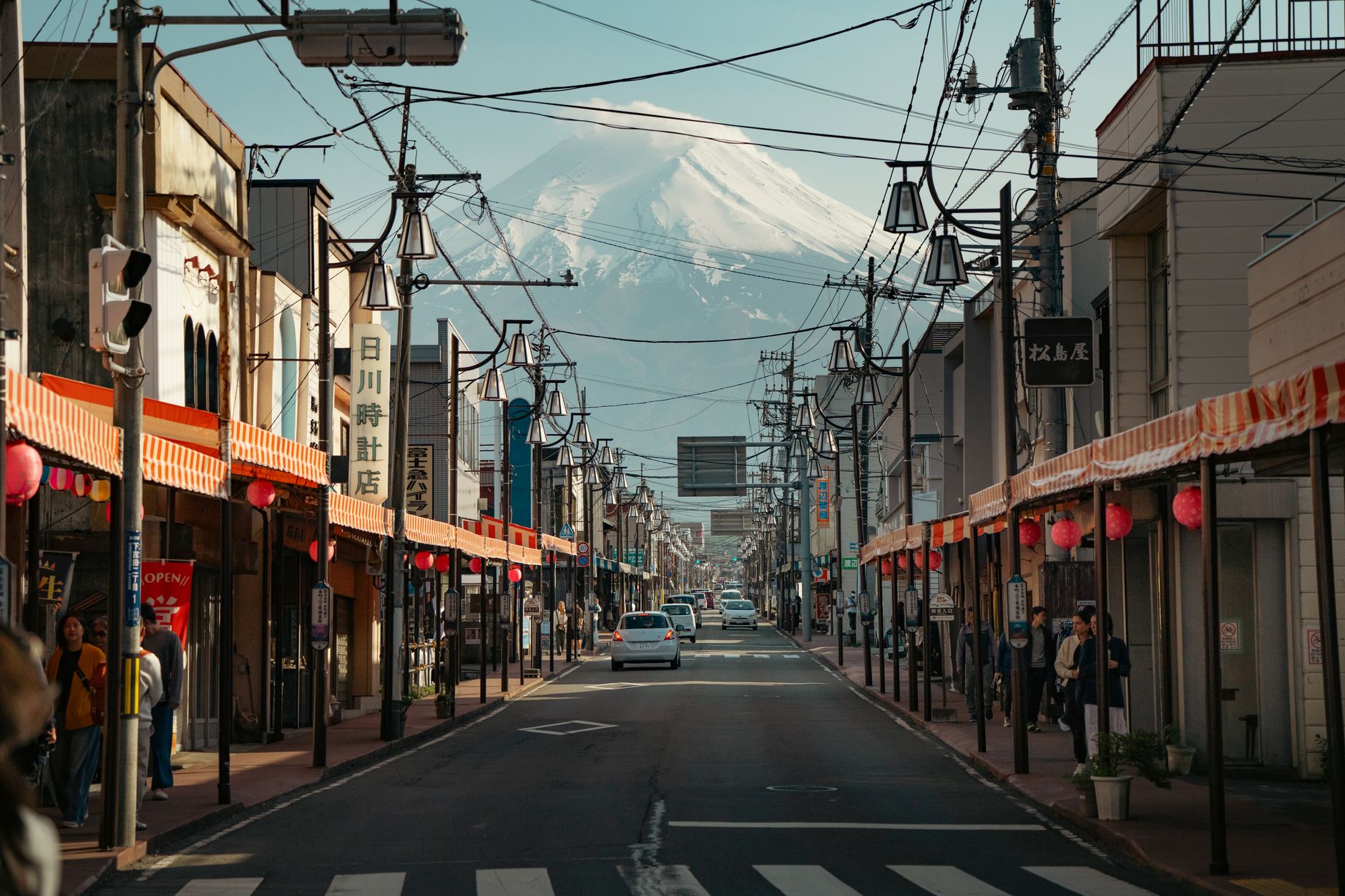
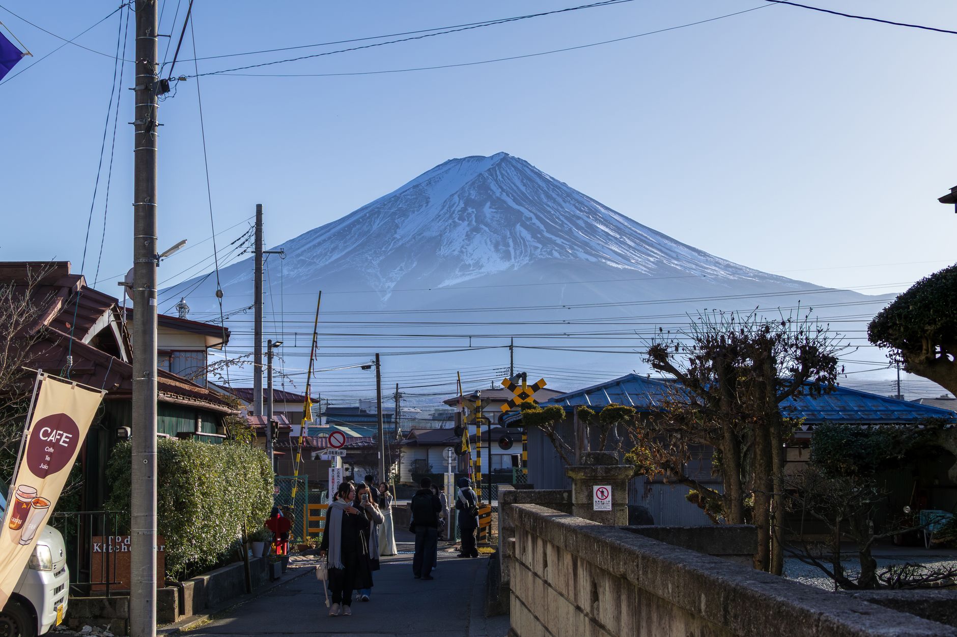
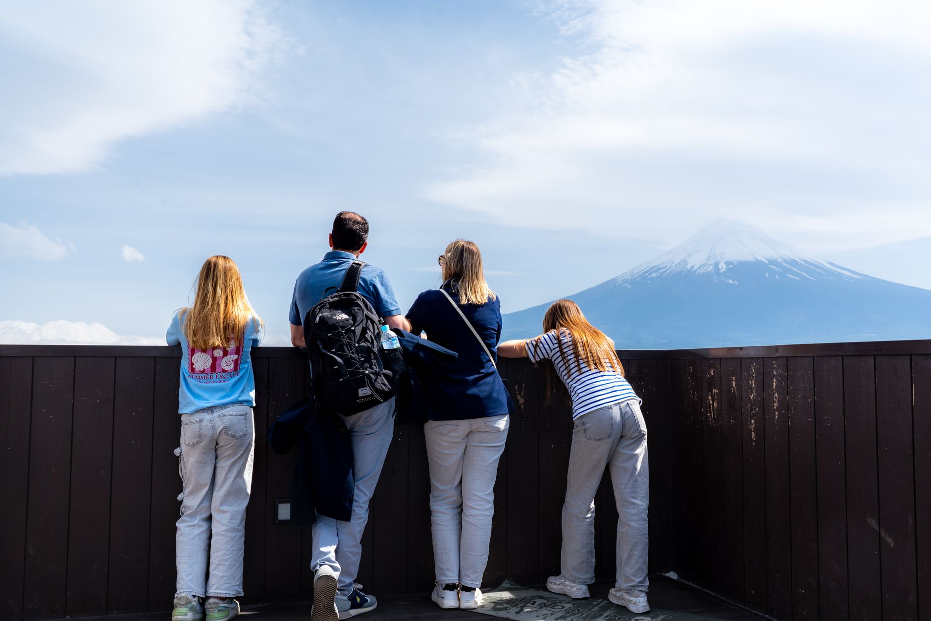
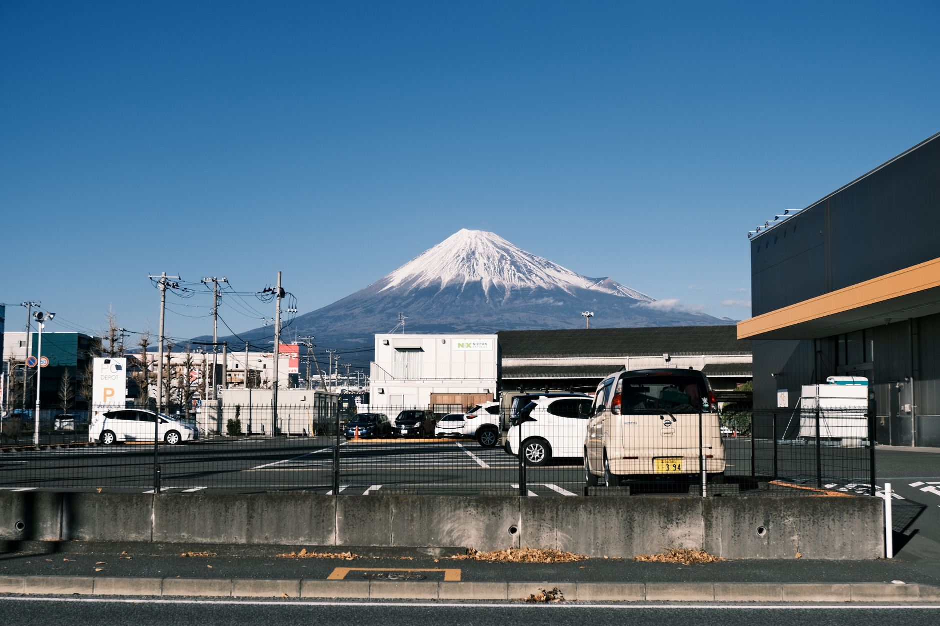
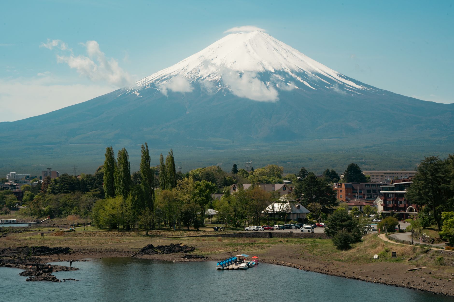
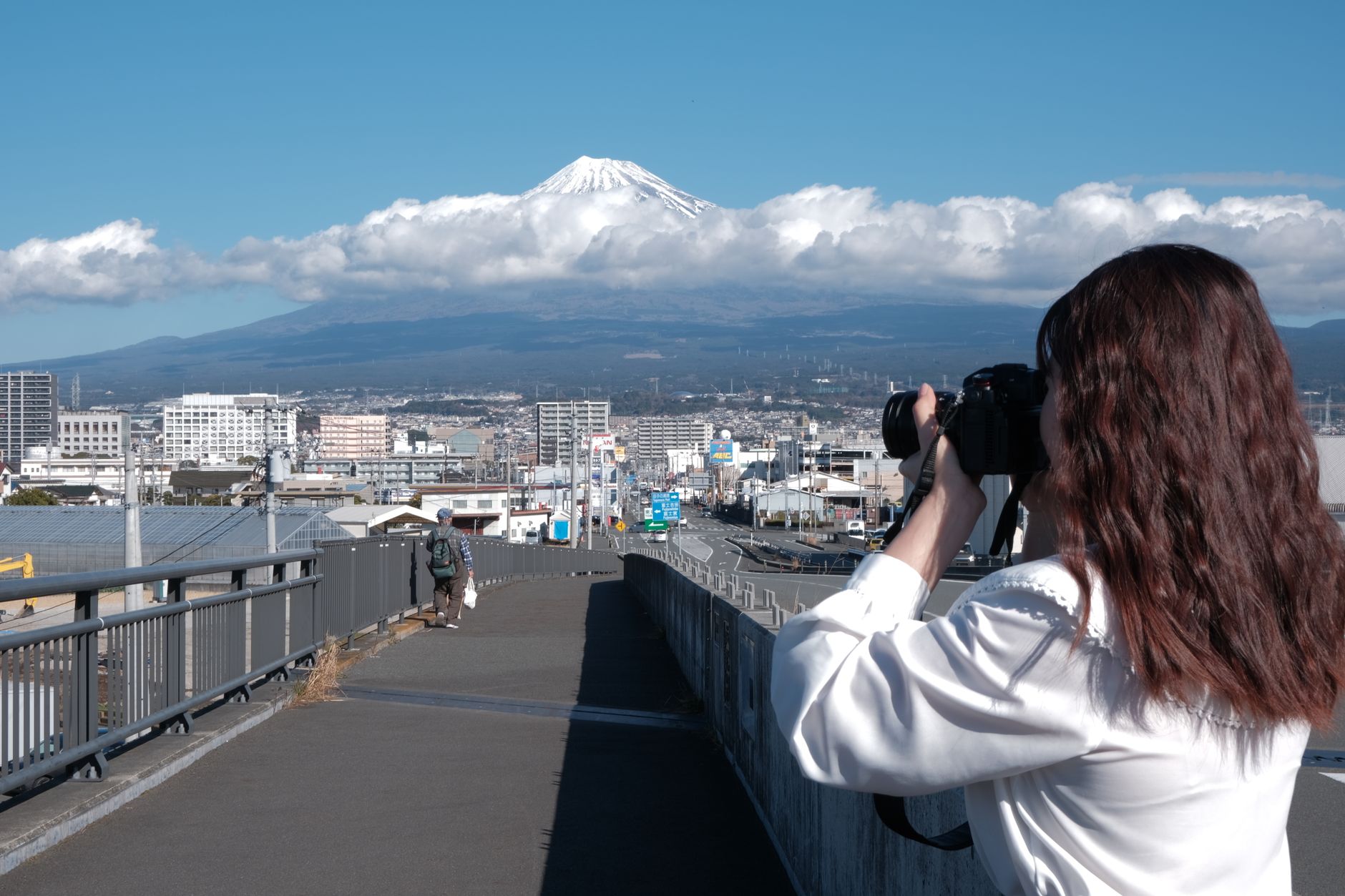
At 3,776 metres, Mount Fuji is the kind of place that arrives before you do — visible from the Shinkansen window, from Tokyo rooftops, from the surface of Hakone's lake. What surprises people is how the mountain earns that ubiquity up close. The crater rim is wide and raw, the air genuinely thin, and the routes that carry you there pass old shrines, teahouses, and stone huts that have been receiving pilgrims since the Heian period.
The official climbing season runs early July to mid-September. Outside those months, the trails close and the mountain becomes something else entirely — a subject for photography, a backdrop, a presence that the surrounding lakes and towns organise themselves around.
How Mount Fuji came to be
The mountain beneath your feet is actually three volcanoes stacked across geological time. Komitake formed the base, Ko Fuji built on top of that roughly 100,000 years ago, and Shin Fuji — the peak you climb — has been active for around 10,000 years. The first recorded ascent was made in 663 by a monk, and from the Heian period onward the mountain became central to Shugendō, a practice weaving Buddhist and indigenous belief around the discipline of mountain asceticism.
By the Edo period, the Fuji-kō movement founded by the ascetic Hasegawa Kakugyō had turned pilgrimage to the summit into a popular devotion. Women were barred from the upper slopes until 1868; Tatsu Takayama had reached the summit in 1832, the first woman on record to do so. Hokusai's woodblock series "36 Views of Mt. Fuji," published in the 1830s, fixed the mountain's silhouette in the global imagination. UNESCO added it as a Cultural Site in 2013.
Who and what shaped it
People who shaped it
Landmark buildings
See Mount Fuji in motion
Plan your visit
On the map
When to go
Summit temperatures stay near or below freezing even in midsummer, and afternoon thunderstorms are common in July and August — start early. Below the treeline, summers are warm and humid; autumn brings clearer skies and the best views from the surrounding lakes, though the trails are closed.
Right now
Background & history adapted from Wikipedia (CC BY-SA) · specs from Wikidata (CC0) · weather from Open-Meteo · map data © OpenStreetMap contributors · photos from Wikimedia Commons / Unsplash with per-image credit. No third-party reviews or social posts reproduced.