
Mount Erebus
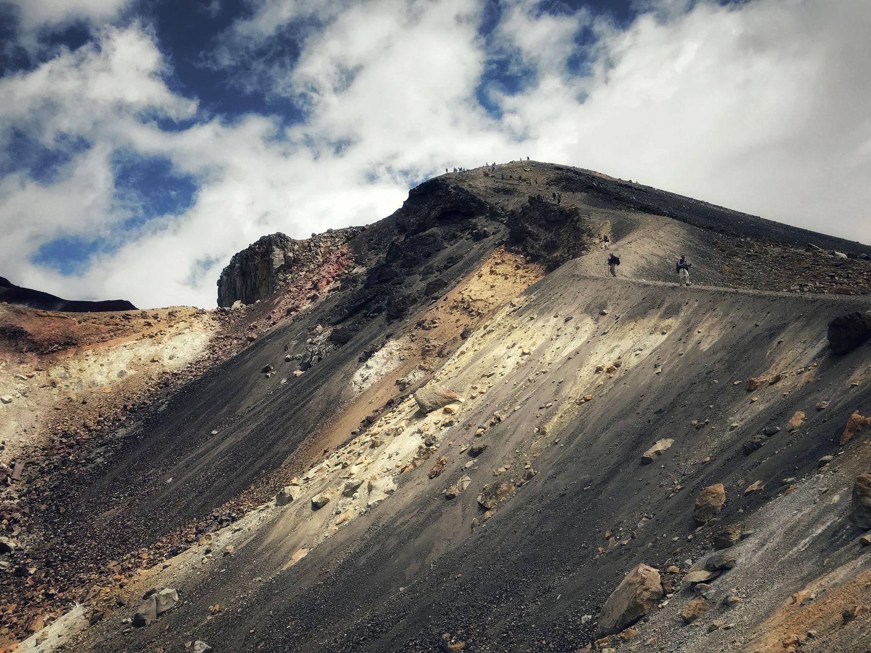
Mount Erebus is the southernmost active volcano on Earth, and it does not sit quietly. From the rim of its main crater — an elliptical bowl 500 by 600 metres, 110 metres deep — you look down into one of only five persistent lava lakes on the planet, a churning pool of phonolitic magma that has been convecting for at least 1.3 million years. Strombolian eruptions throw volcanic bombs across the inner crater without warning.
Below the summit, volcanic gases escape through the ice and build themselves into 60-foot chimneys — fumaroles — that glow and shift with the season. The mountain also exhales roughly 80 grams of gold vapor every day, scattering microscopic particles as far as 1,000 kilometres away.
How Mount Erebus came to be
James Clark Ross first saw Erebus on 27 January 1841, and it was already erupting when he did — a column of smoke rising from a white continent no one had mapped. He named the volcano for his ship, HMS Erebus, and his young naturalist aboard, Joseph Hooker, recorded the sighting. The mountain waited another 67 years before anyone stood at its rim.
That moment came on 10 March 1908, when Edgeworth David, Douglas Mawson, Alister Mackay, and others from Shackleton's expedition reached the summit crater — an ascent documented in Aurora Australis, the first book written and published in Antarctica. Roger Mear made the first solo and first winter ascent on 7 June 1985. Near the summit, a protected zone marks the wreckage of Air New Zealand Flight 901; entry requires a special permit.
Who and what shaped it
People who shaped it
Landmark buildings
See Mount Erebus in motion
Plan your visit
On the map
When to go
During the Antarctic summer (November to February) the summit averages around -20°C, while McMurdo Station at sea level sits near -3°C in January — cold, but manageable with proper gear and nearly 24 hours of daylight by December. Outside that window the summit drops to around -50°C, and the mountain is effectively unreachable.
Right now
Background & history adapted from Wikipedia (CC BY-SA) · specs from Wikidata (CC0) · weather from Open-Meteo · map data © OpenStreetMap contributors · photos from Wikimedia Commons / Unsplash with per-image credit. No third-party reviews or social posts reproduced.