
Mount Ararat
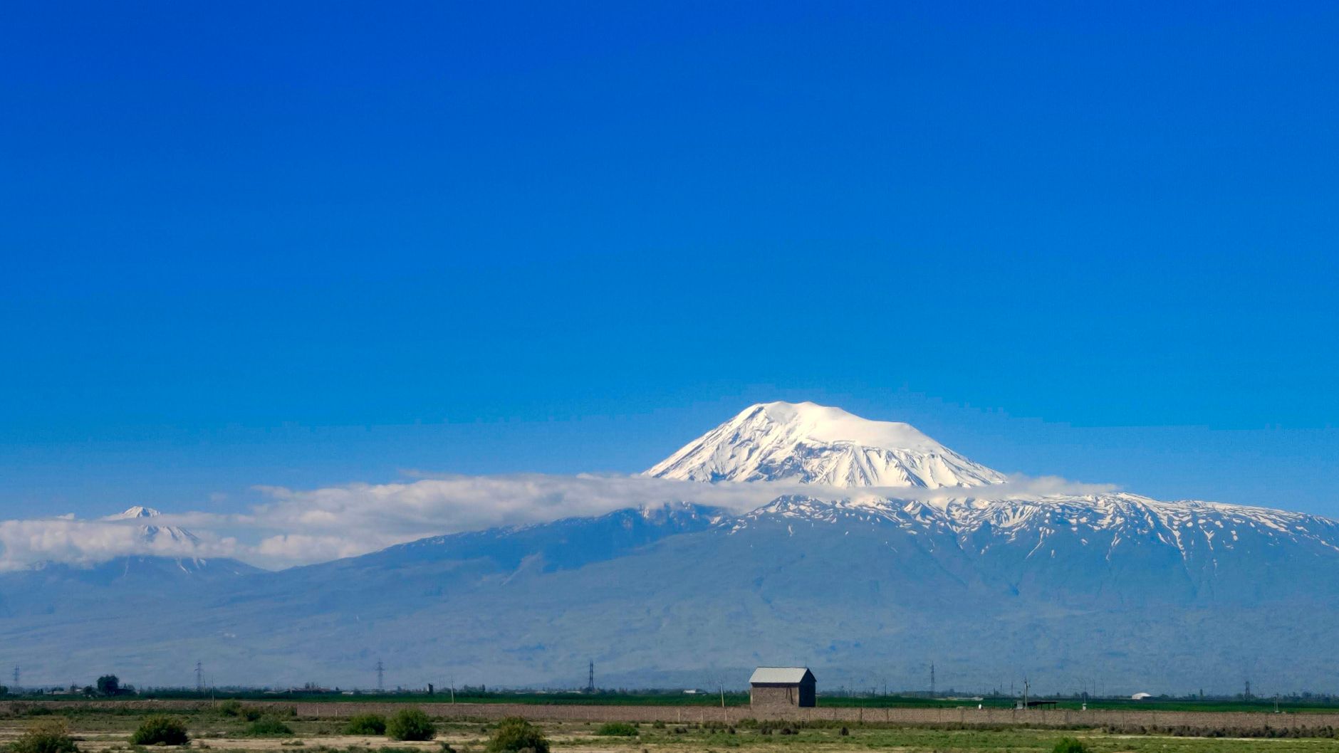
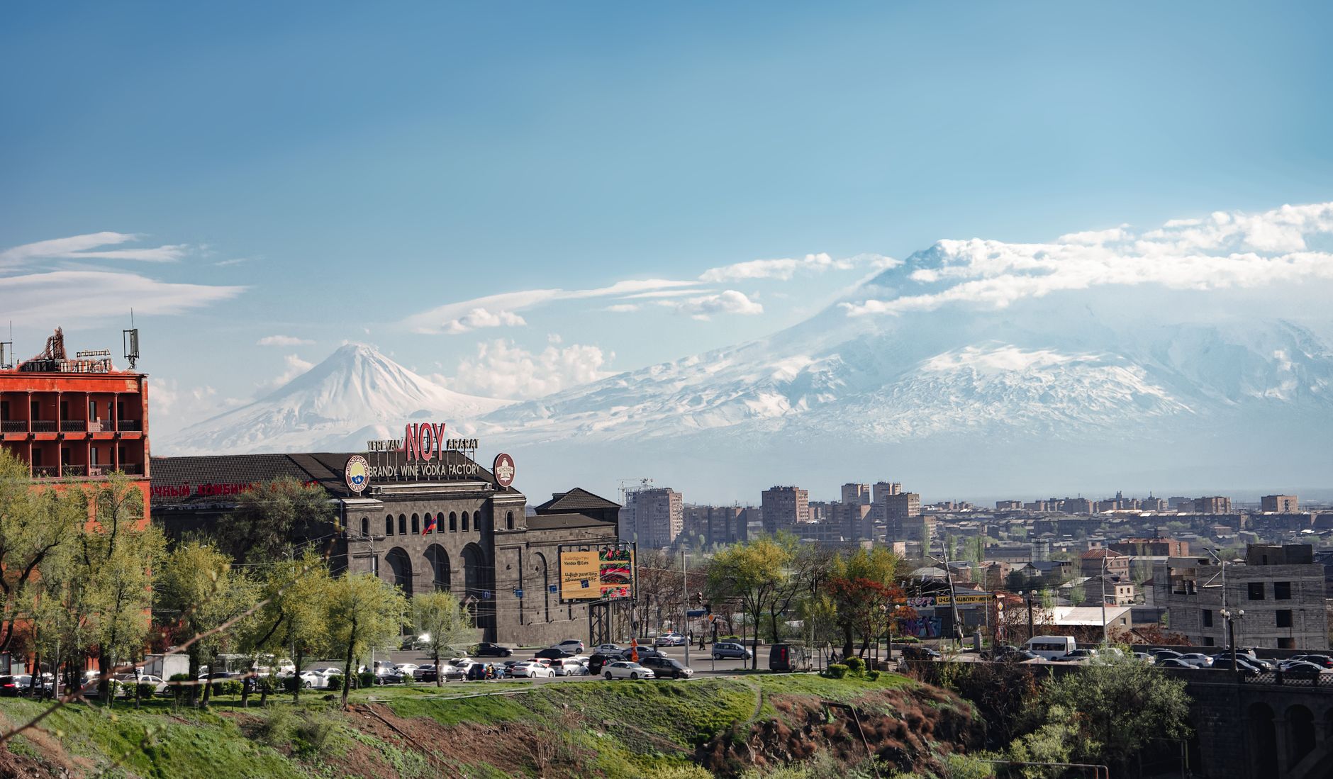
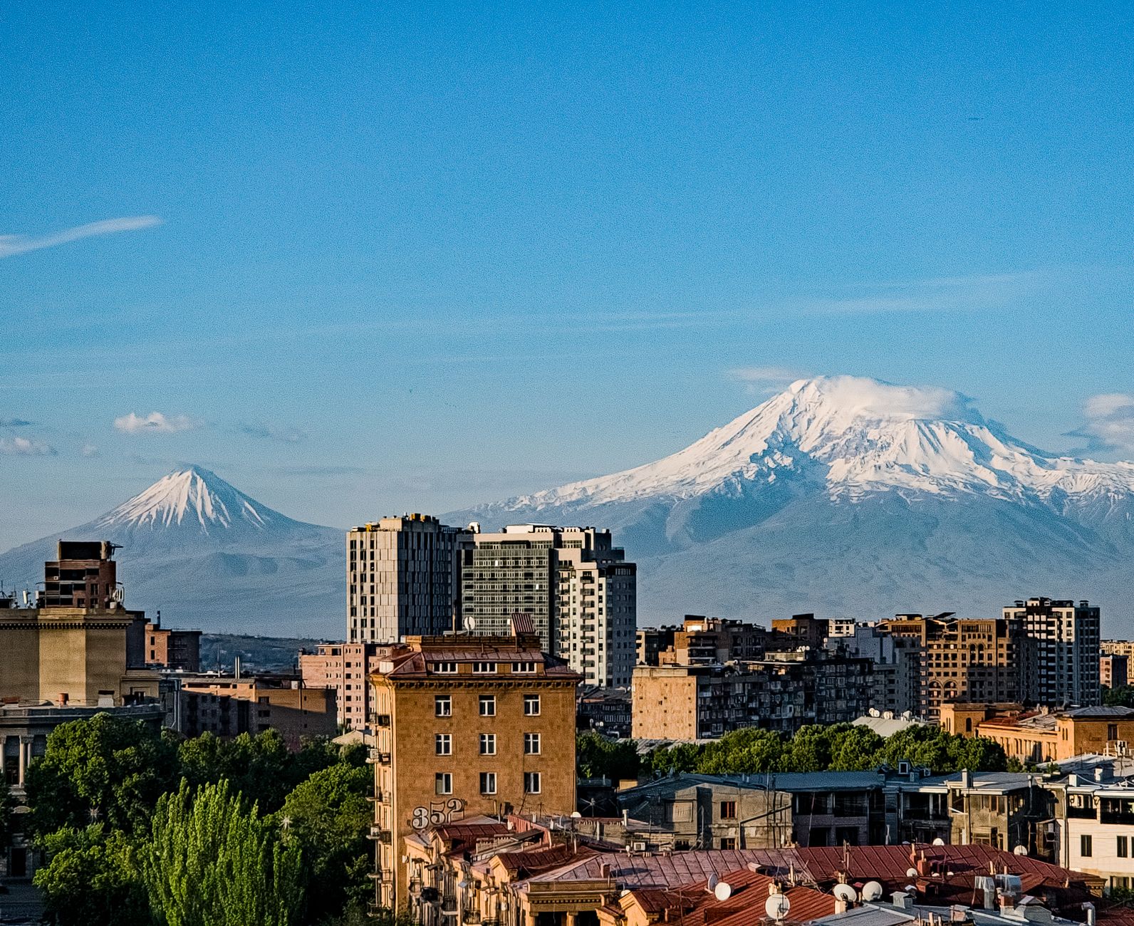
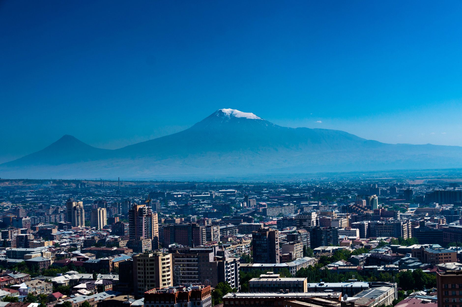
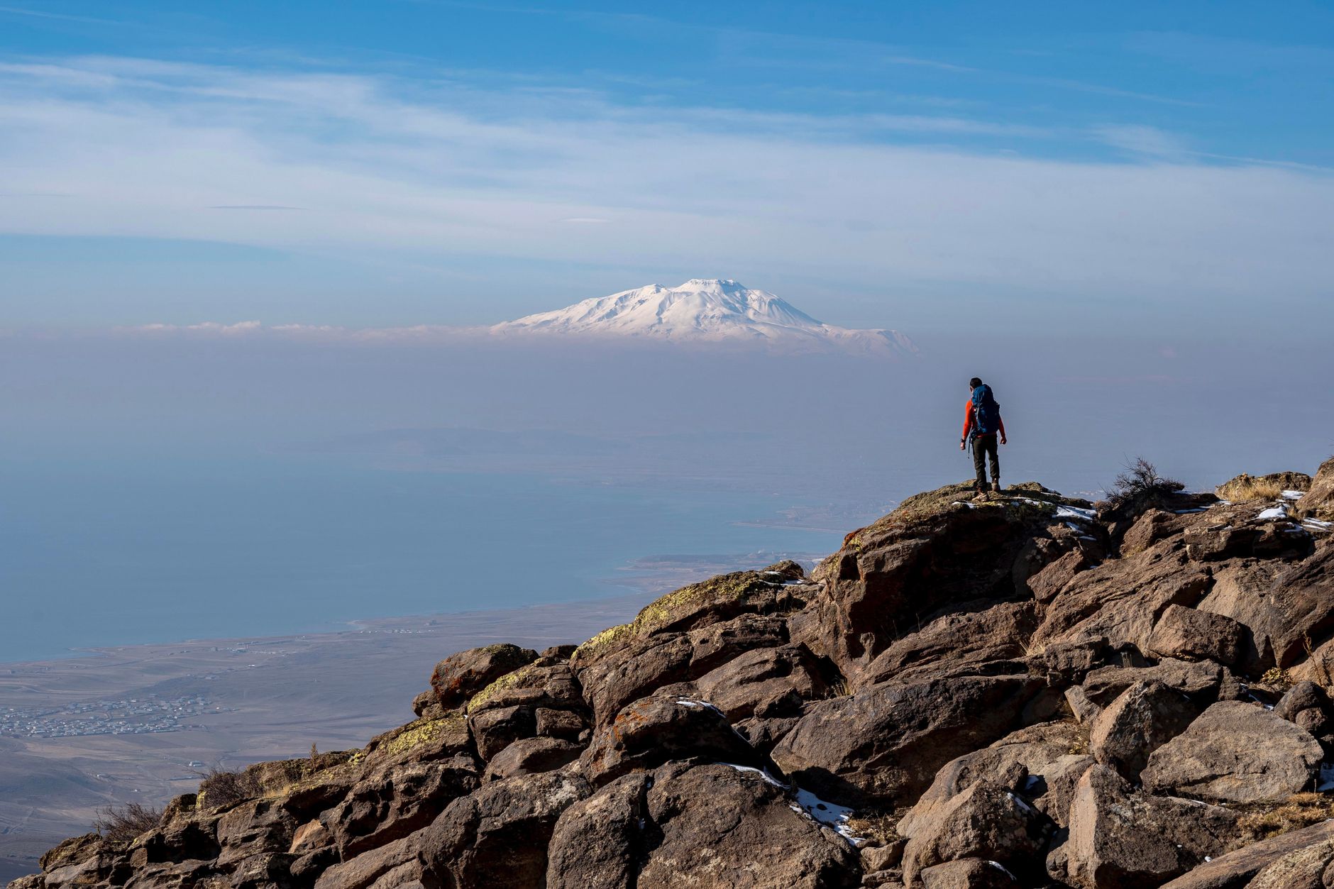
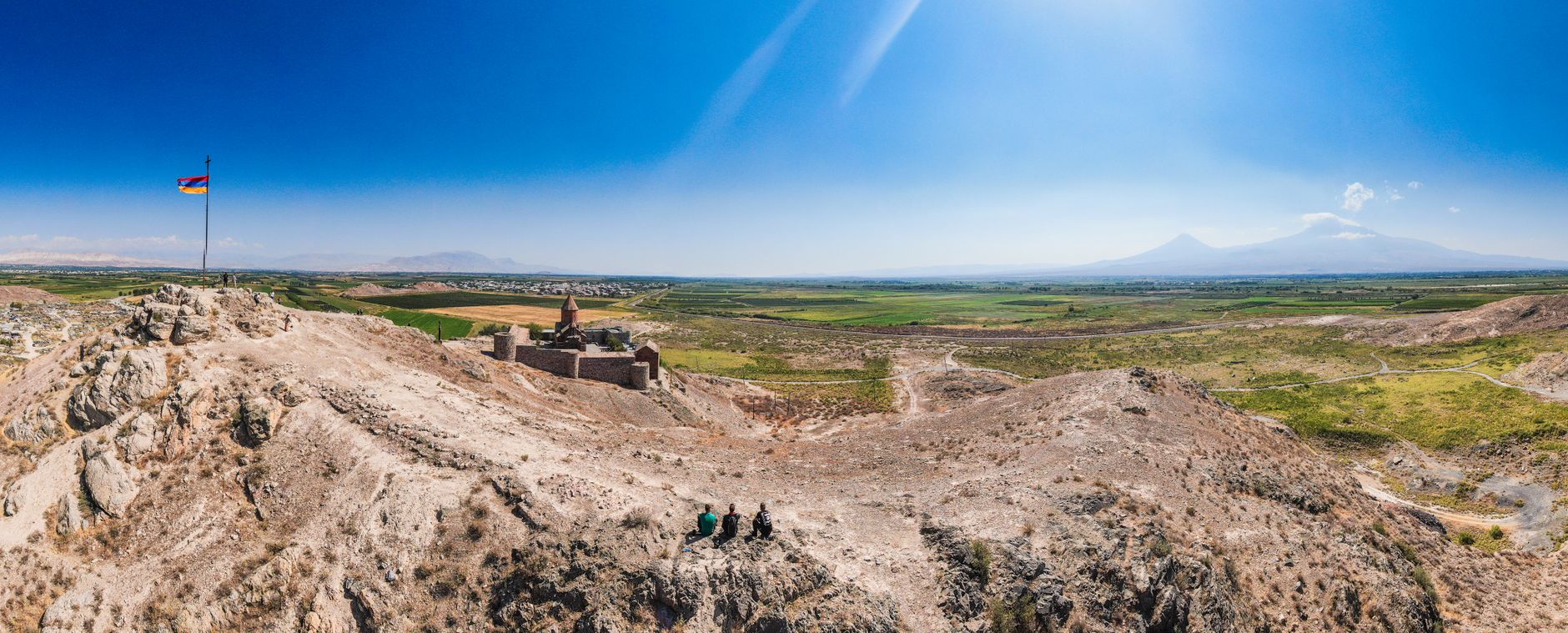
At 5,137 metres, Greater Ararat is the highest point in Turkey, and on a clear morning it rises above the eastern Anatolian plateau with the kind of presence that makes you stop mid-sentence. Two volcanic cones — Greater and Little Ararat — form a compound massif that has anchored this corner of the world in myth, scripture, and cartography for centuries. The mountain sits within Mount Ararat National Park, which covers more than 88,000 hectares, and the nearest town, Doğubayazıt, places you at the foot of it all.
Climbing Ararat is non-technical but serious. From the trailhead villages around 2,200 metres, you gain nearly 3,000 metres of elevation over a five-to-seven-day program. The last 400 metres are snow and ice year-round, requiring crampons and sometimes an ice axe. Summit attempts typically start around midnight or 1 AM by headlamp.
💛 What travellers fall for
People who come back tend to say the same thing: budget an extra day in Doğubayazıt before you start climbing. İshak Pasha Palace — an Ottoman-period complex that blends Ottoman, Persian, and Seljuk stonework — sits on a ridge just outside town, and you'll want the afternoon light on it, not a rushed hour between a van transfer and a gear check.
How Mount Ararat came to be
Ararat's volcanic activity goes back to at least the third millennium BC. Its last eruption, in the mid-19th century, destroyed both the village of Arguri and the 7th-century Monastery of St. Jacob, a site of deep significance to Armenians. The mountain spent centuries as an Ottoman-Persian border marker; after the Russo-Persian War of 1826–28 and the Treaty of Turkmenchay, the summit and northern slopes passed to the Russian Empire before being formally incorporated into Turkey by the 1921 Treaty of Moscow and Treaty of Kars.
The first recorded ascent came in 1829, when German naturalist Friedrich Parrot and Armenian writer Khachatur Abovian reached the summit together. The mountain's association with Noah's Ark dates to at least the 11th century, when Armenian tradition began identifying it as the ark's resting place — a connection still reflected in Armenia's coat of arms, where Ararat appears despite lying across the border.
Who and what shaped it
People who shaped it
Landmark buildings
See Mount Ararat in motion
Plan your visit
On the map
When to go
July and August are the most stable months: warm at the base in Doğubayazıt, around 15°C during the trekking sections, and dropping well below freezing at the high camps after dark. Summit winds can reach 70–80 km/h or more, and sudden storms become more frequent toward the edges of the season — early June and from September onward.
Right now
Background & history adapted from Wikipedia (CC BY-SA) · specs from Wikidata (CC0) · weather from Open-Meteo · map data © OpenStreetMap contributors · photos from Wikimedia Commons / Unsplash with per-image credit. No third-party reviews or social posts reproduced.