
Mosi-oa-Tunya National Park
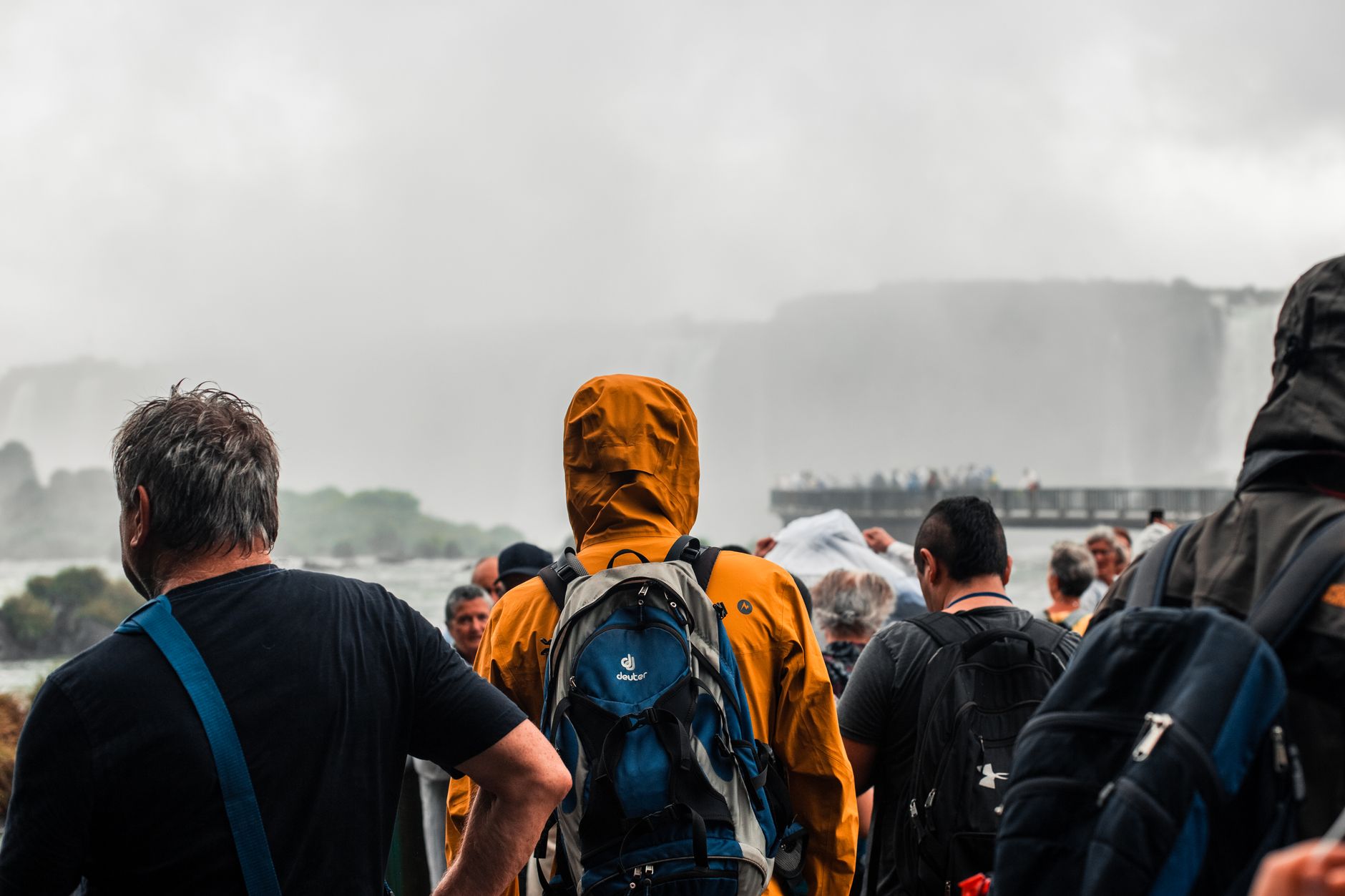

The Kololo name for this place — Mosi-oa-Tunya, the smoke that thunders — tells you more than any photograph can. Standing at the edge of the Zambezi gorge, spray soaking through your clothes before you've even reached the viewpoint, you understand why the name stuck. The park spans roughly 66 square kilometres on the Zambian bank of the river, combining a dedicated game reserve with direct access to one of the largest waterfalls on earth.
White rhino graze a few kilometres from a Victorian-era railway bridge. Vervet monkeys raid unattended bags near the viewpoints. The Zambezi itself, wide and calm upstream, drops 108 metres into a narrow basalt gorge — the contrast between the flat river approach and the sudden violence of the falls is something the eye takes a moment to accept.
How Mosi-oa-Tunya National Park came to be
The falls were known to the Kololo and Lozi peoples long before European contact. In November 1855, Scottish missionary David Livingstone became the first European to see them, arriving by canoe from Kalai Island and naming them after Queen Victoria. He had first met Chief Manokalya Mukuni two years earlier, in 1853, and was given the name Munali. By 1898, FJ 'Mopane' Clarke had established Old Drift, the earliest European settlement at the crossing — its cemetery still stands inside the park. The Victoria Falls Bridge followed in 1905, its 156-metre arch connecting what are now Zambia and Zimbabwe.
The park itself was formally established in 1972 and received UNESCO World Heritage status in 1989. White rhinoceros were reintroduced to the game reserve in 1993 — the first in Zambia — though the population has faced pressure: two animals were poached in June 2007, one fatally.
Who and what shaped it
People who shaped it
Landmark buildings
See Mosi-oa-Tunya National Park in motion
Plan your visit
On the map
When to go
The dry season (May–October) brings clearer skies and reduced spray for photography, though October can push above 40°C and the falls shrink to a fraction of their flood-season volume. The wet season (November–April) sees the falls at full thundering force — February and March produce the most dramatic spray, sometimes obscuring the view entirely — with warm days around 33°C and rain that rarely lasts all day.
Right now
Background & history adapted from Wikipedia (CC BY-SA) · specs from Wikidata (CC0) · weather from Open-Meteo · map data © OpenStreetMap contributors · photos from Wikimedia Commons / Unsplash with per-image credit. No third-party reviews or social posts reproduced.