
Moremi Game Reserve
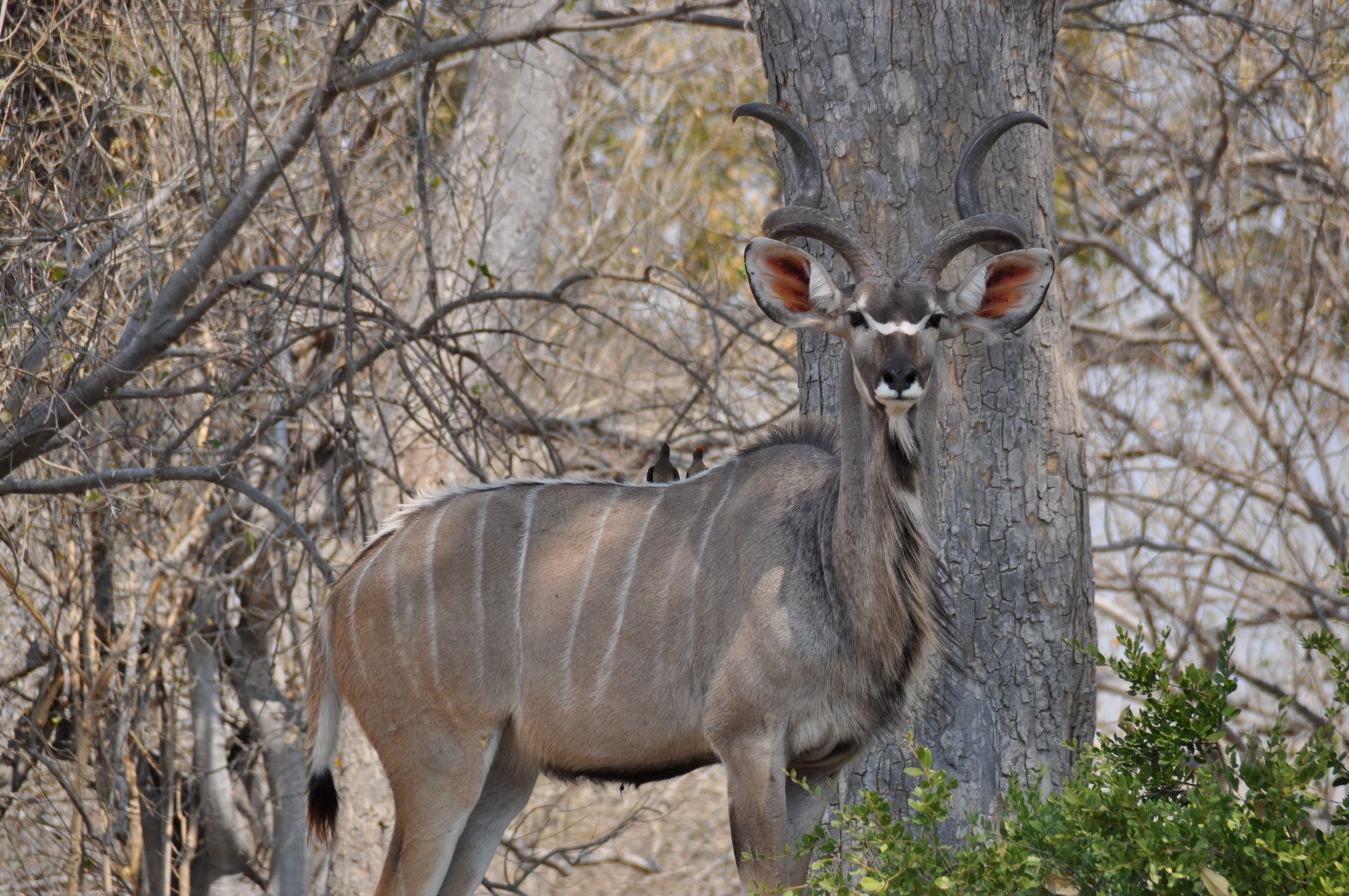
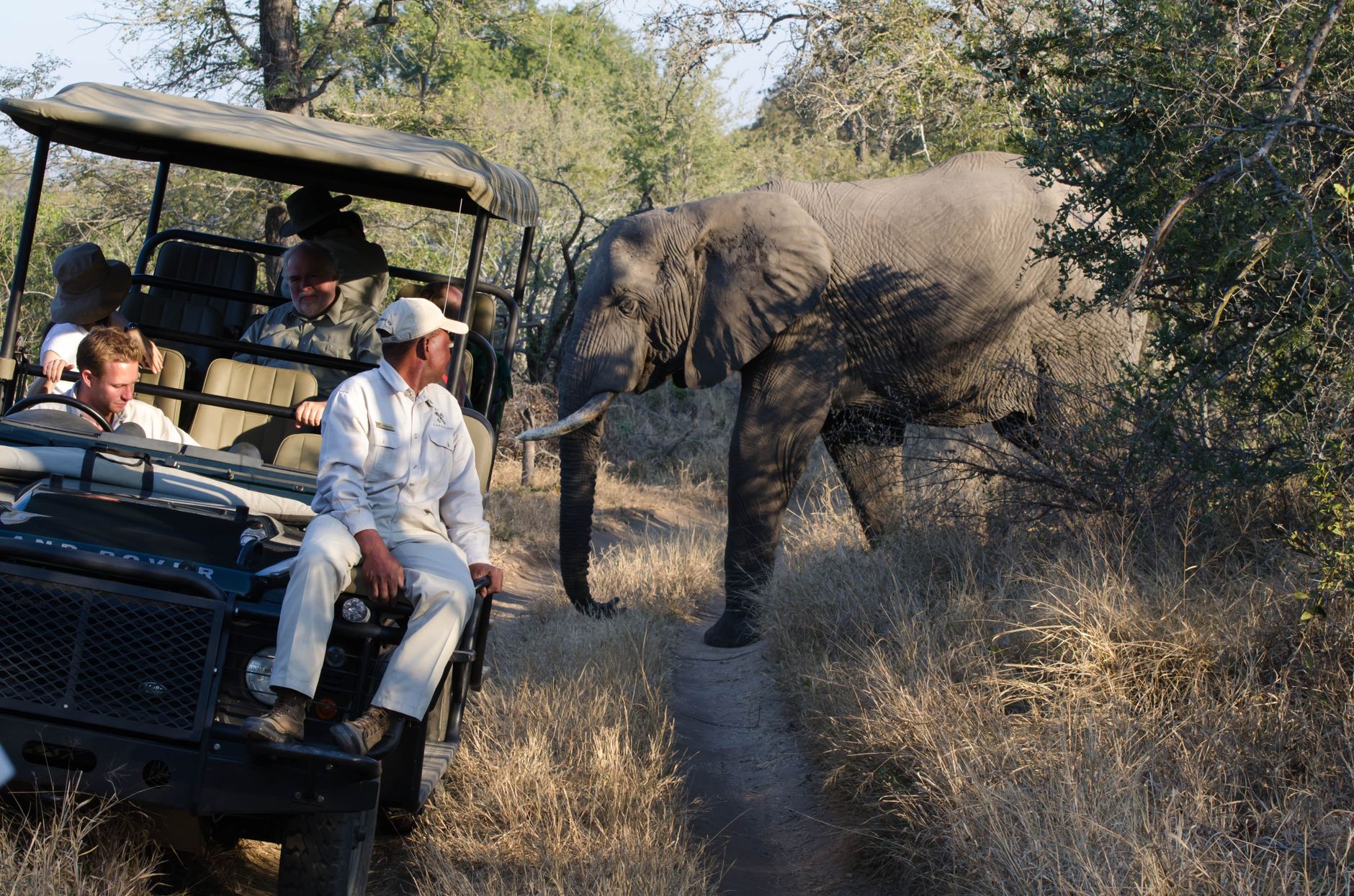
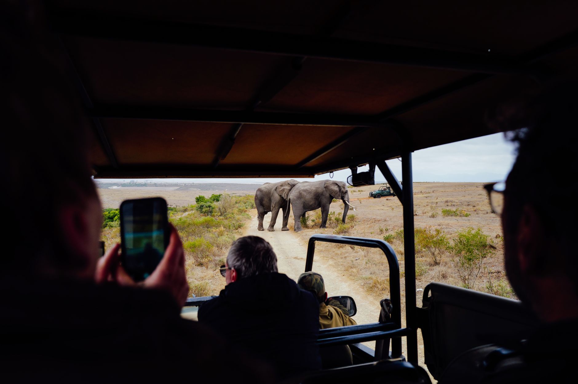
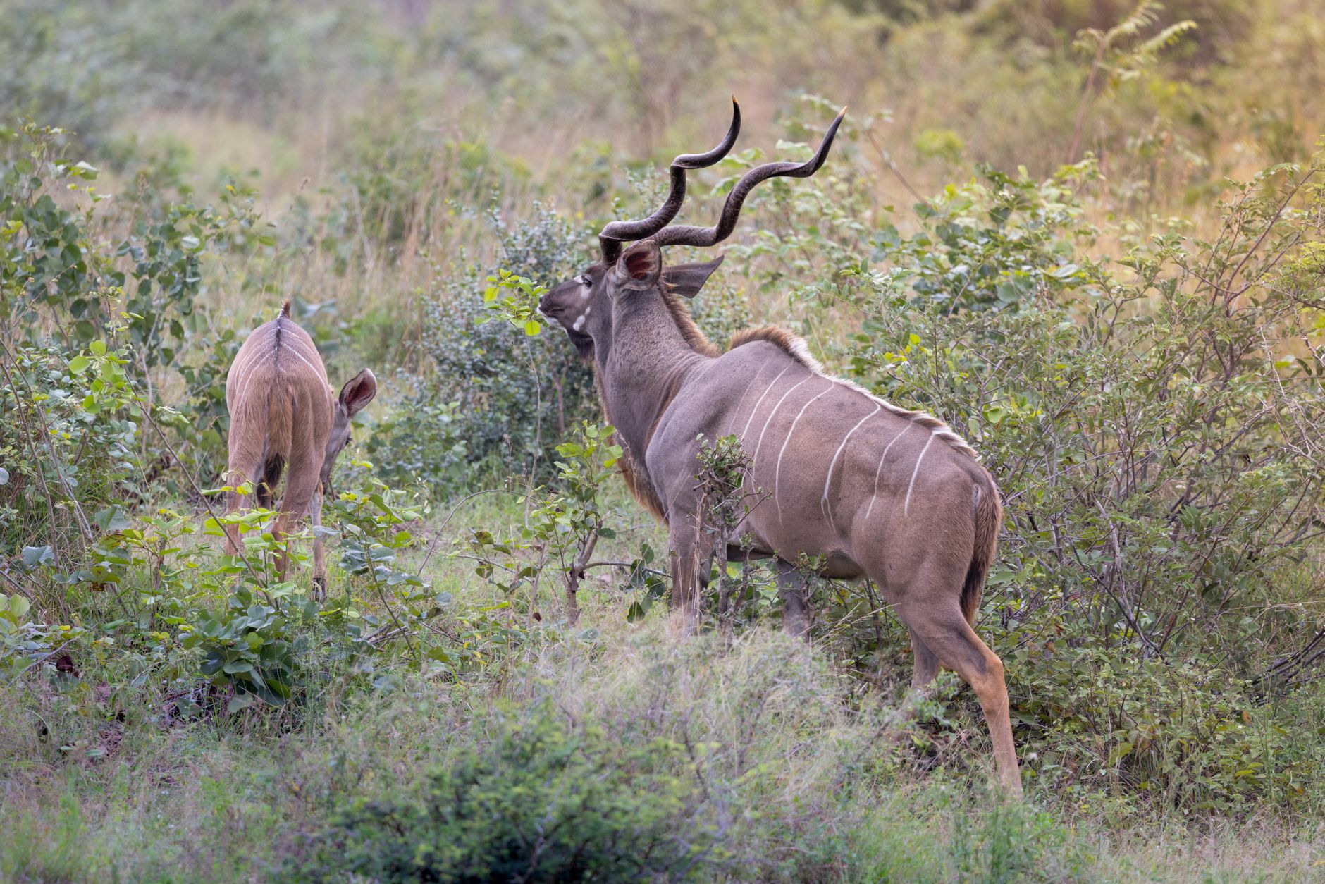
Moremi covers nearly 5,000 square kilometres of the Okavango Delta — floodplains, mopane woodland, and permanent lagoons threaded together in a way that means the landscape you wake up to on day one looks almost nothing like the one you find by day four. Leopards work the papyrus stands around Xakanaxa Lagoon. Hippos surface in channels you cross by mokoro. The reserve sits at the meeting point of water and dry land, which is exactly why the wildlife density here is so consistently high.
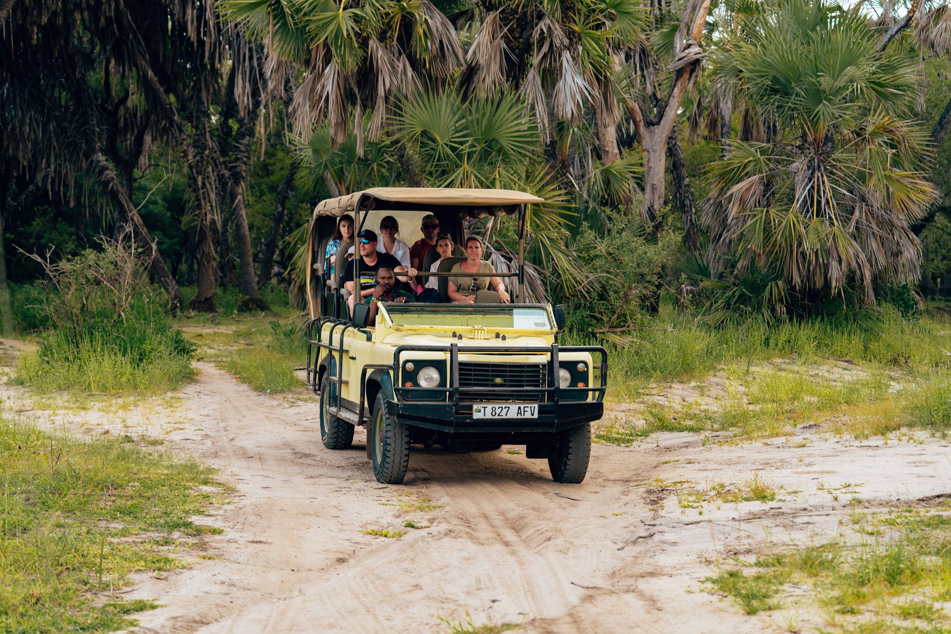
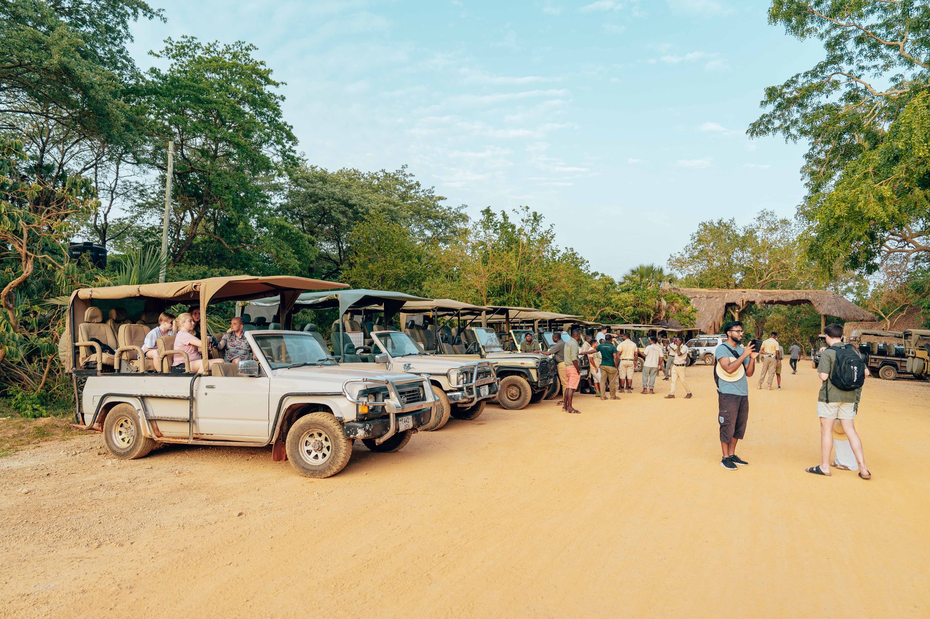
You enter either from the south, about 90 kilometres out of Maun, or from the north near the Khwai River. A 4x4 is non-negotiable — tracks flood, shift, and occasionally disappear. Charter flights into Xakanaxa or Khwai cut the road time entirely, though the luggage limit (one soft bag, 20 kg) is firm.
💛 What travellers fall for
People who return to Moremi tend to have a campsite loyalty. Third Bridge, when it's open, comes up most — the sound of the Sekiri River through papyrus at night, the way elephant sometimes walk straight through camp before dawn. Book it the moment your dates are set; it fills faster than anywhere else in the reserve.
How Moremi Game Reserve came to be
On 15 March 1963, Moremi became one of the first wildlife reserves on the African continent to be established by the indigenous people who lived there. The driving force was Elizabeth Pulane Moremi, widow of Chief Moremi of the BaTawana tribe, who had watched hunting steadily reduce the animal populations her community depended on. She led the BaTawana in setting land aside — an act without much precedent at the time.
The reserve grew in stages. Chief's Island was incorporated in 1970, and the former Royal Hunting Grounds followed in the same decade. A further addition between the Ngoga and Jao rivers in 1981 brought the total area close to its current size. Management passed to Botswana's Department of Wildlife and National Parks in 1979.
Who and what shaped it
People who shaped it
Landmark buildings
See Moremi Game Reserve in motion
Plan your visit
On the map
When to go
The dry season (April to October) is the most reliable window for game viewing — June and July are cool and clear, with morning temperatures around 11°C/52°F and afternoons reaching 25°C/77°F, while October turns properly hot at around 34°C/93°F as the pans dry and animals concentrate near permanent water. The wet season (November to March) brings afternoon storms and higher temperatures, but also the summer bird migrants that make Moremi one of southern Africa's better birding destinations. Malaria is present year-round; take precautions regardless of when you travel.
Right now
Background & history adapted from Wikipedia (CC BY-SA) · specs from Wikidata (CC0) · weather from Open-Meteo · map data © OpenStreetMap contributors · photos from Wikimedia Commons / Unsplash with per-image credit. No third-party reviews or social posts reproduced.