
Montréal, Québec
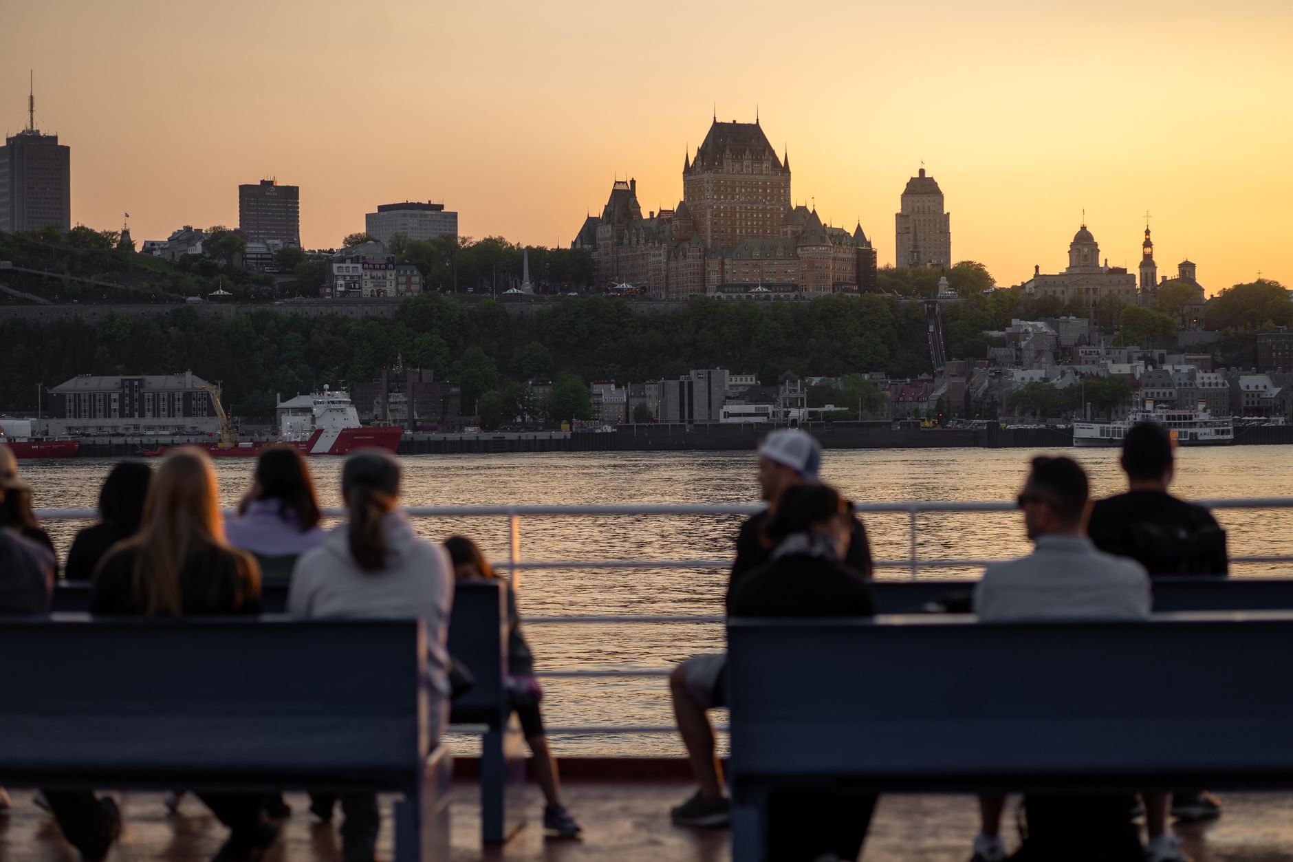
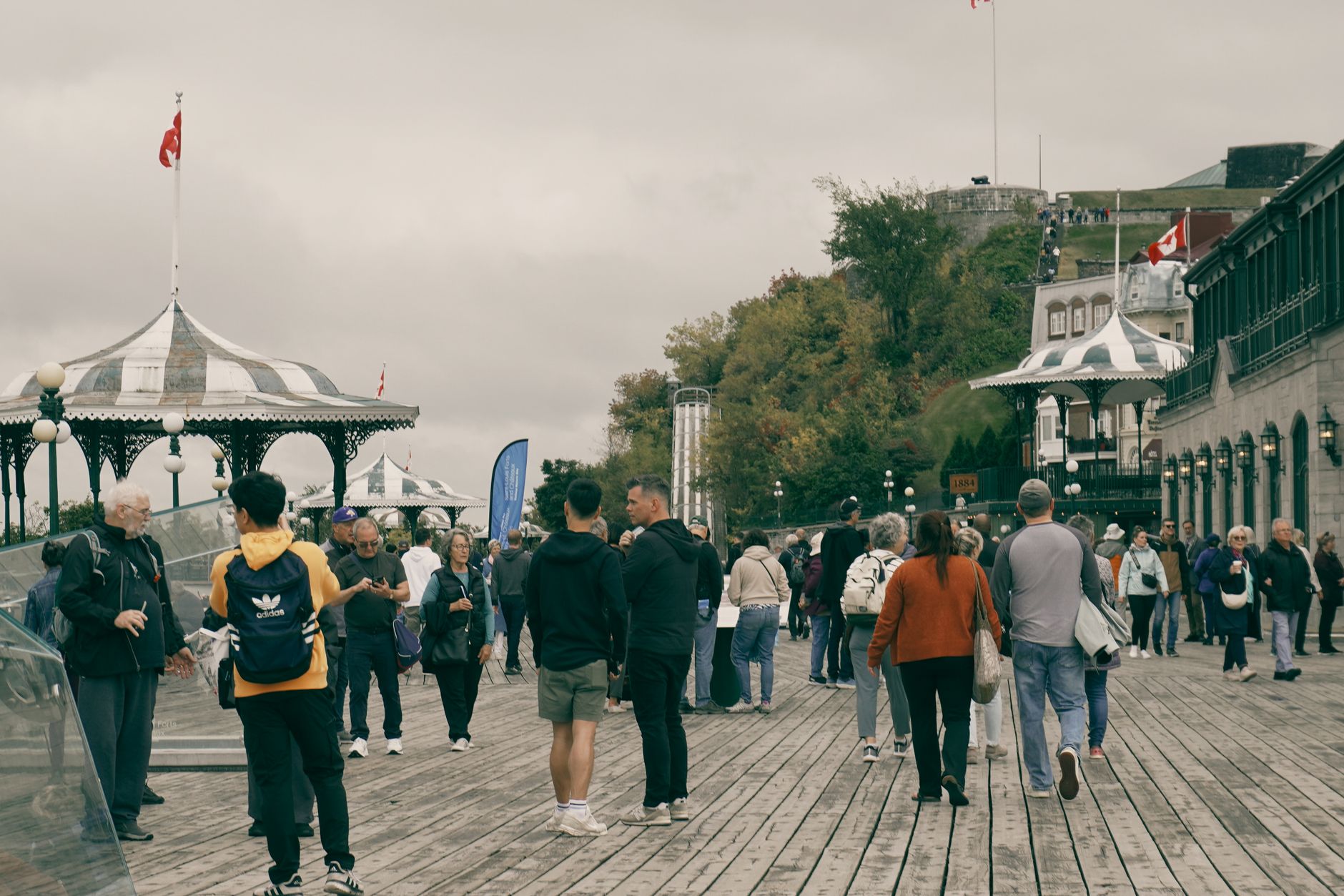
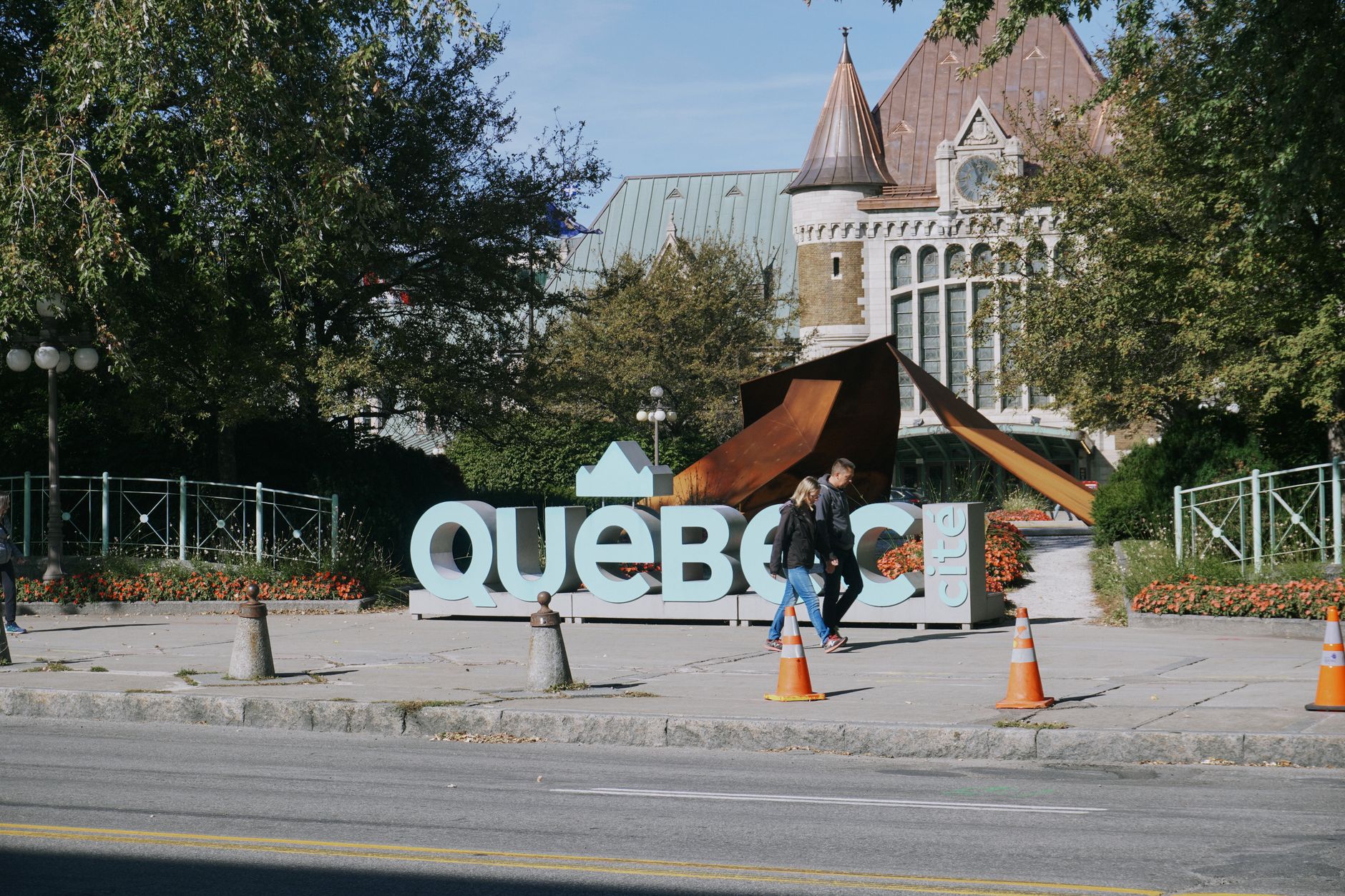
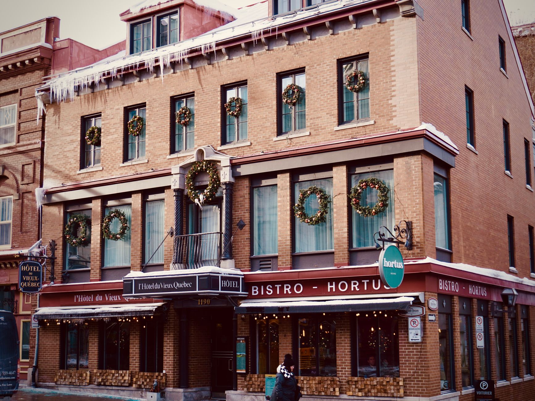
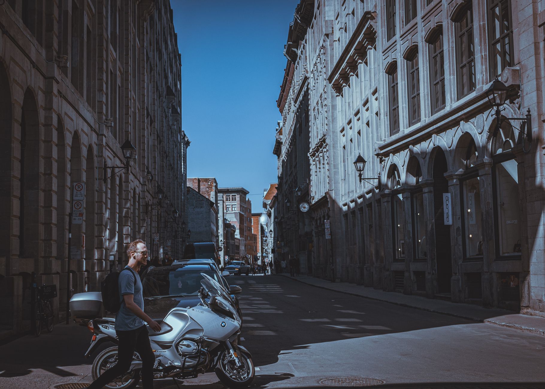
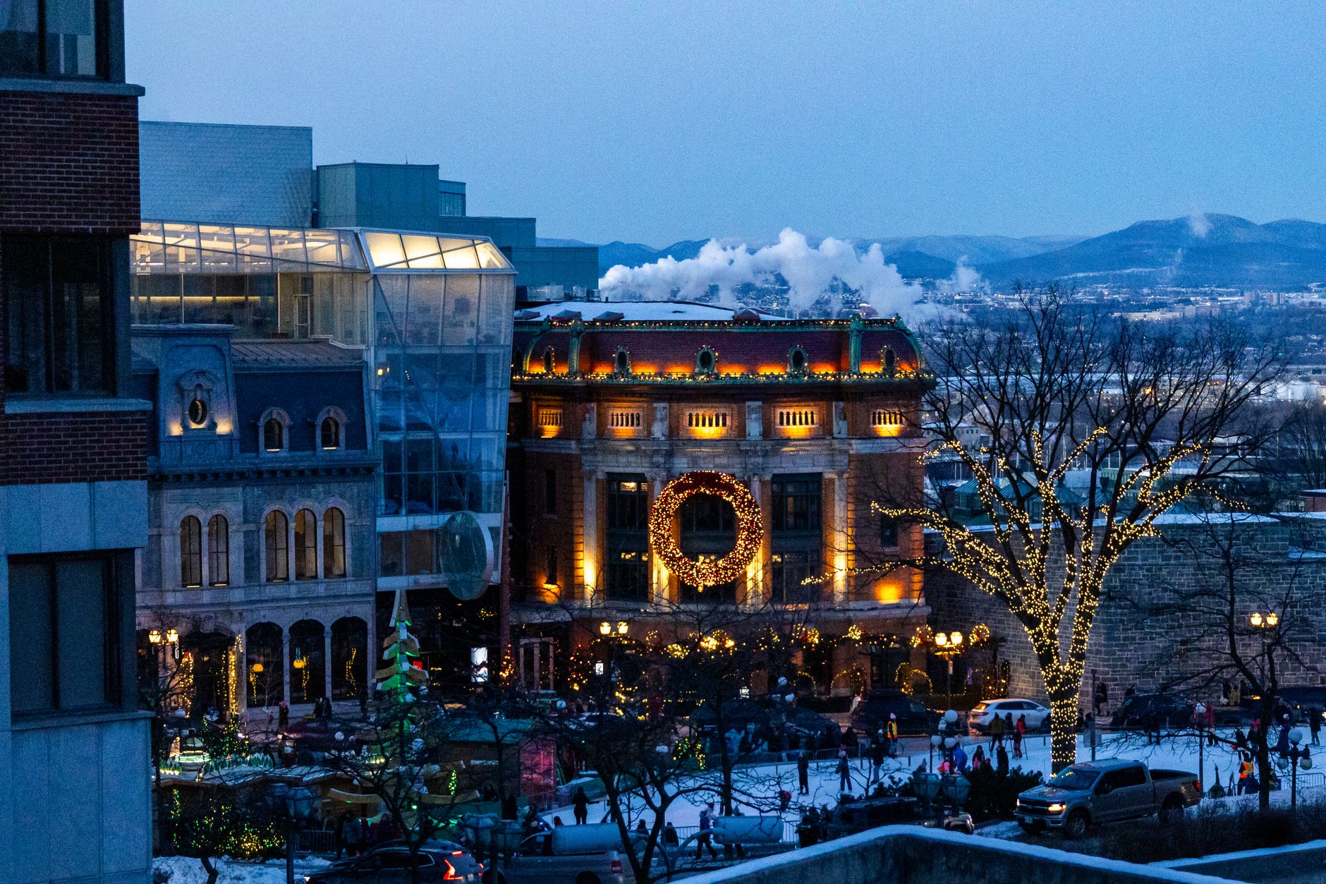
Montréal sits on an island in the St. Lawrence River, and the city has never quite let you forget it — the water shapes the weather, the light, and the particular way the place feels both landlocked and open at once. French is the working language here, the menus and street signs and arguments all running in it, yet the city holds that in easy tension with English and a dozen other tongues.
The Metro, four lines and 68 stations inaugurated in 1966, will carry you from the underground archaeology of Pointe-à-Callière to the neo-Gothic towers of Notre-Dame Basilica in minutes. Above ground, the neighborhoods shift register quickly — stone rowhouses, outdoor staircases, a skyline that never quite dominates.
💛 What travellers fall for
People who keep coming back tend to pick a neighborhood and walk it slowly before doing anything else. The Orange Line's Place-d'Armes station puts you directly into Vieux-Montréal, which rewards an early morning before the tour groups arrive. Book the Basilica's Grand Tour if you want crypt access — the standard entry doesn't include it.
How Montréal, Québec came to be
On May 17, 1642, Paul Chomedey de Maisonneuve led a small group of French colonists ashore and founded Ville-Marie as a Catholic mission. Alongside him was Jeanne Mance, a nurse who established Hôtel-Dieu two years later — the first hospital north of Mexico — and whom the Canadian government formally recognized as co-founder only in 2012. The settlement sat at the confluence of fur-trade routes, and Ville-Marie grew into the commercial engine of New France until the British took the city in 1760.
The name Montreal — borrowed from Mont Royal, which Jacques Cartier had named in 1535 — gradually displaced Ville-Marie through the 1700s. The island's founding footprint is still accessible: Pointe-à-Callière Museum was built directly over Maisonneuve's original fort, and you can walk through the excavated foundations underground.
Who and what shaped it
People who shaped it
Landmark buildings
See Montréal, Québec in motion
Plan your visit
On the map
When to go
Winters are long and genuinely severe — average temperatures around -9°C, with cold snaps below -25°C arriving most years and snowfall totaling over two metres annually. Summers run warm and humid, averaging around 21°C in July, with occasional heat pushing well above 30°C; spring and autumn are brief but navigable, with the last frost typically falling near the end of April.
Right now
Background & history adapted from Wikipedia (CC BY-SA) · specs from Wikidata (CC0) · weather from Open-Meteo · map data © OpenStreetMap contributors · photos from Wikimedia Commons / Unsplash with per-image credit. No third-party reviews or social posts reproduced.