
Monterrey
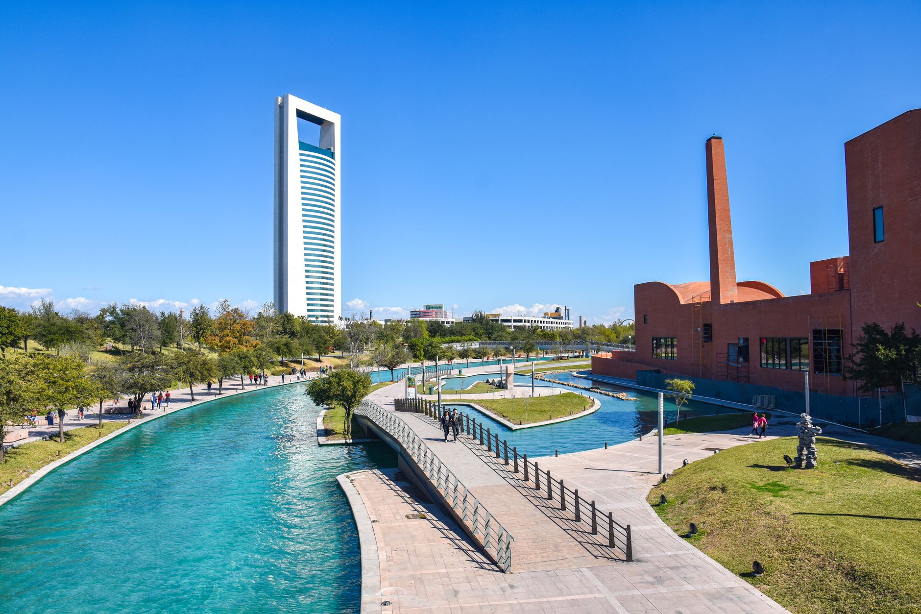
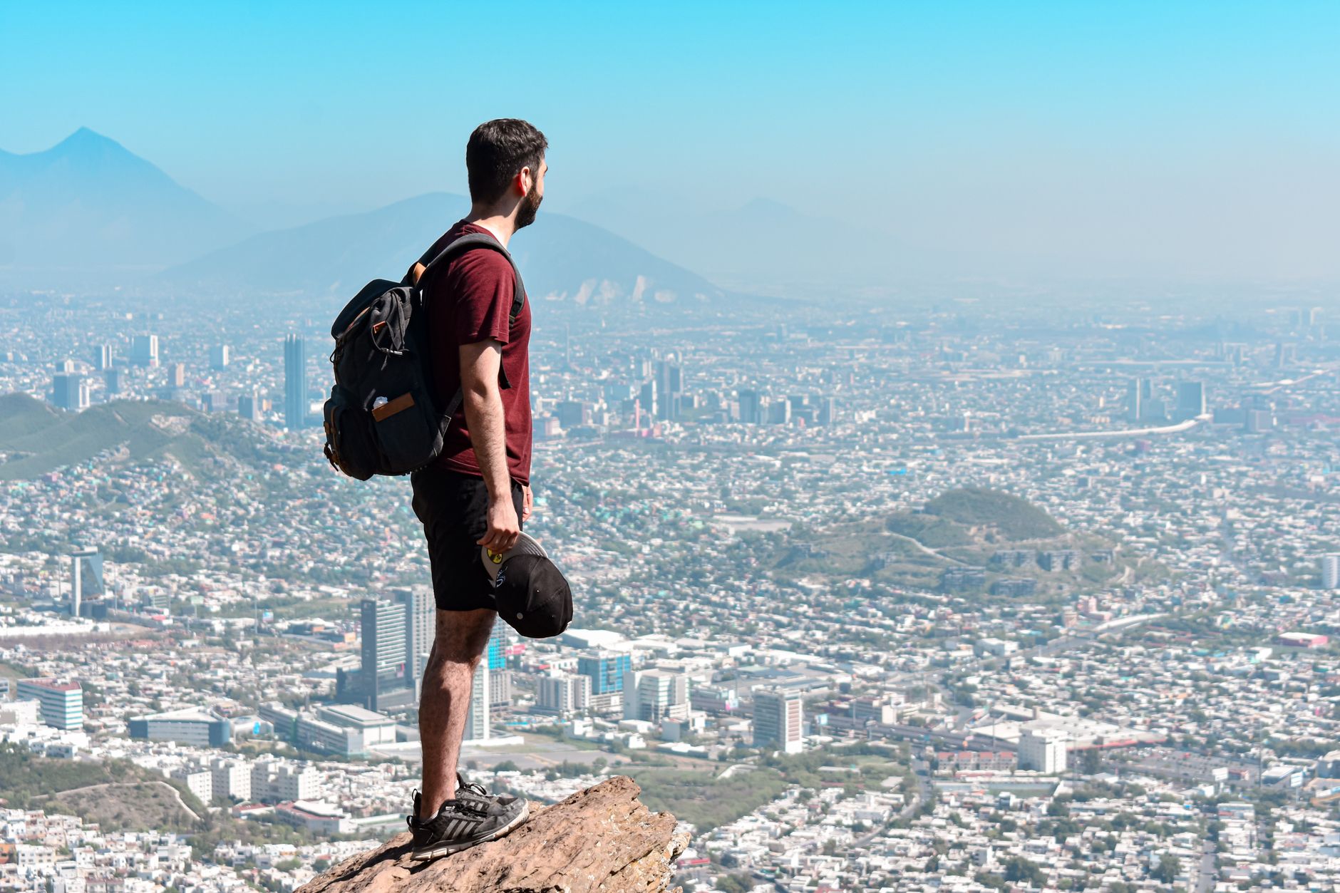
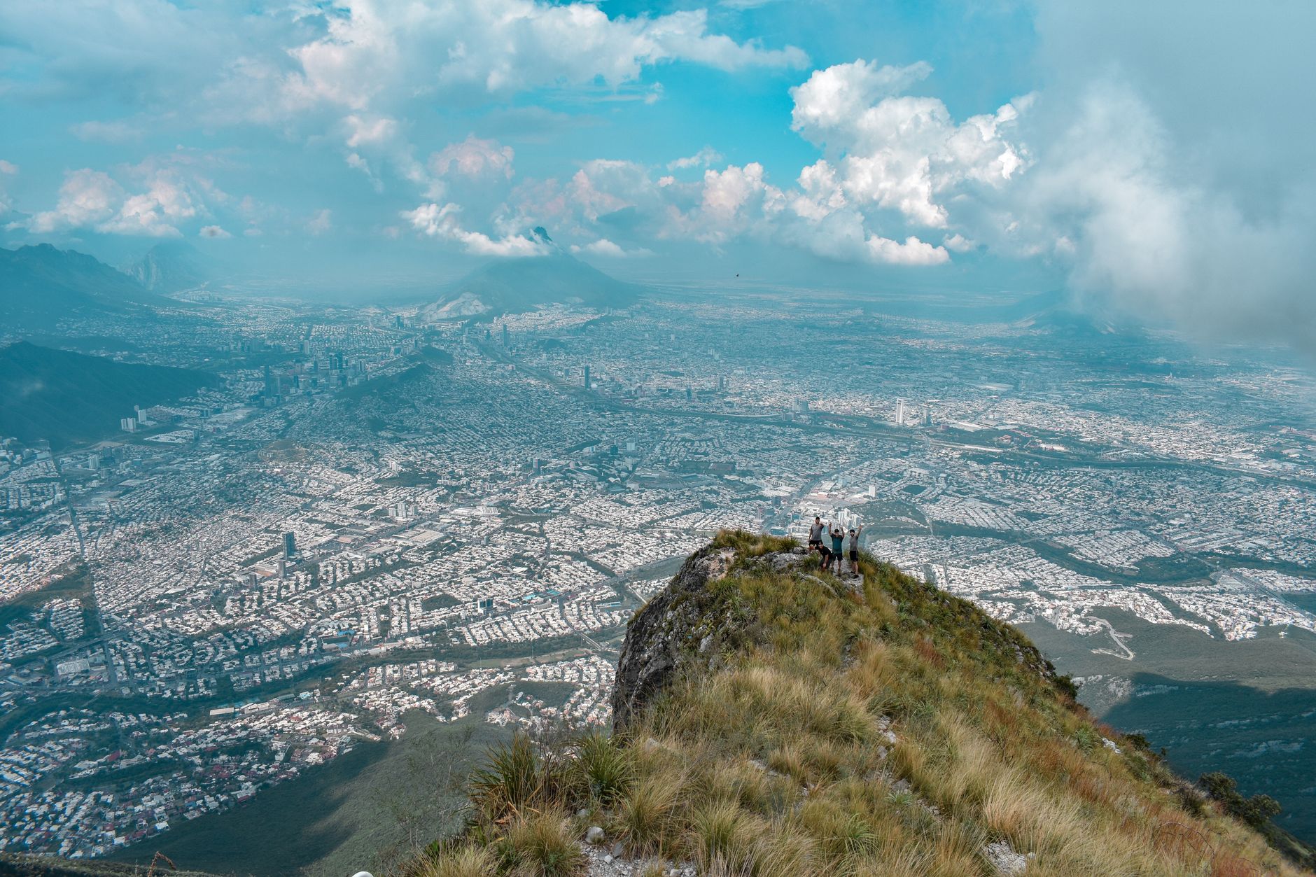
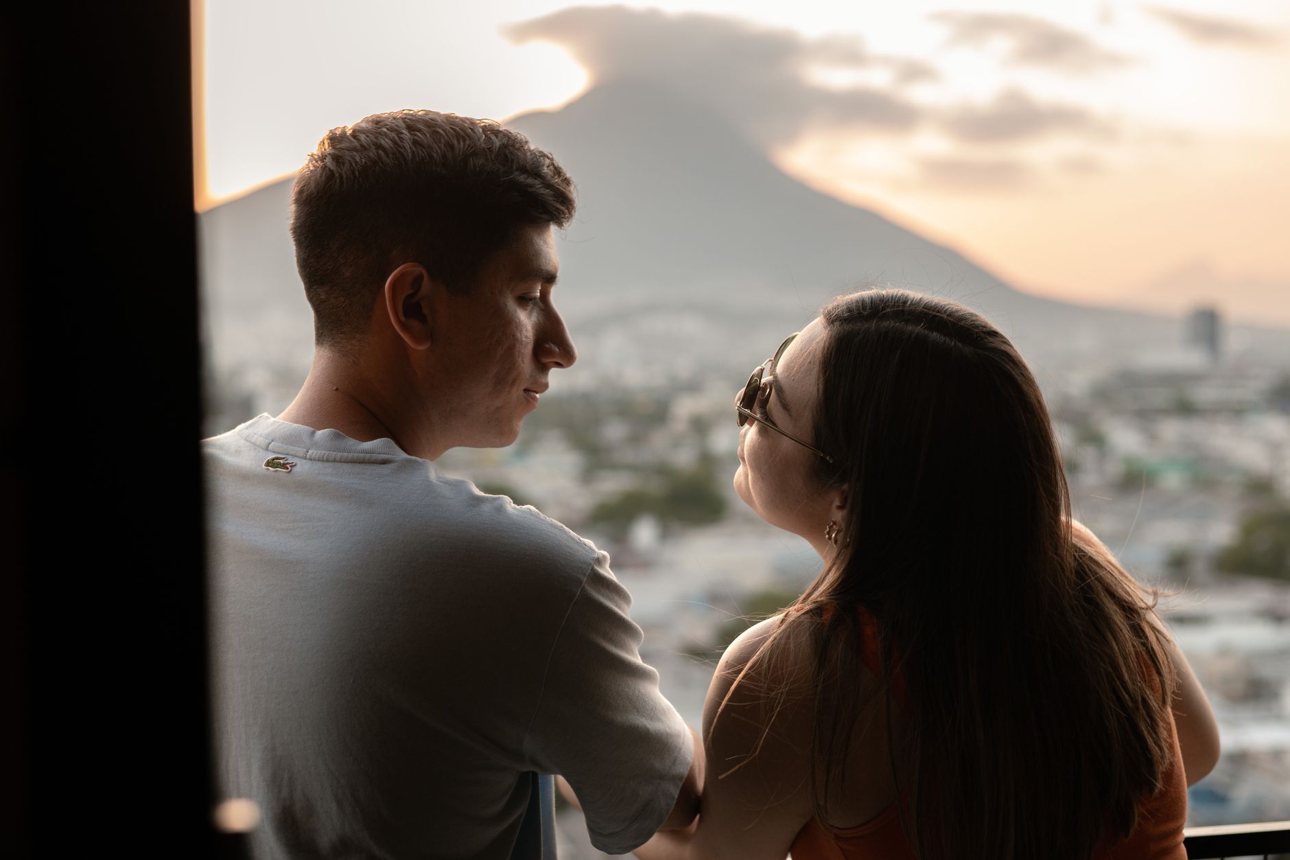
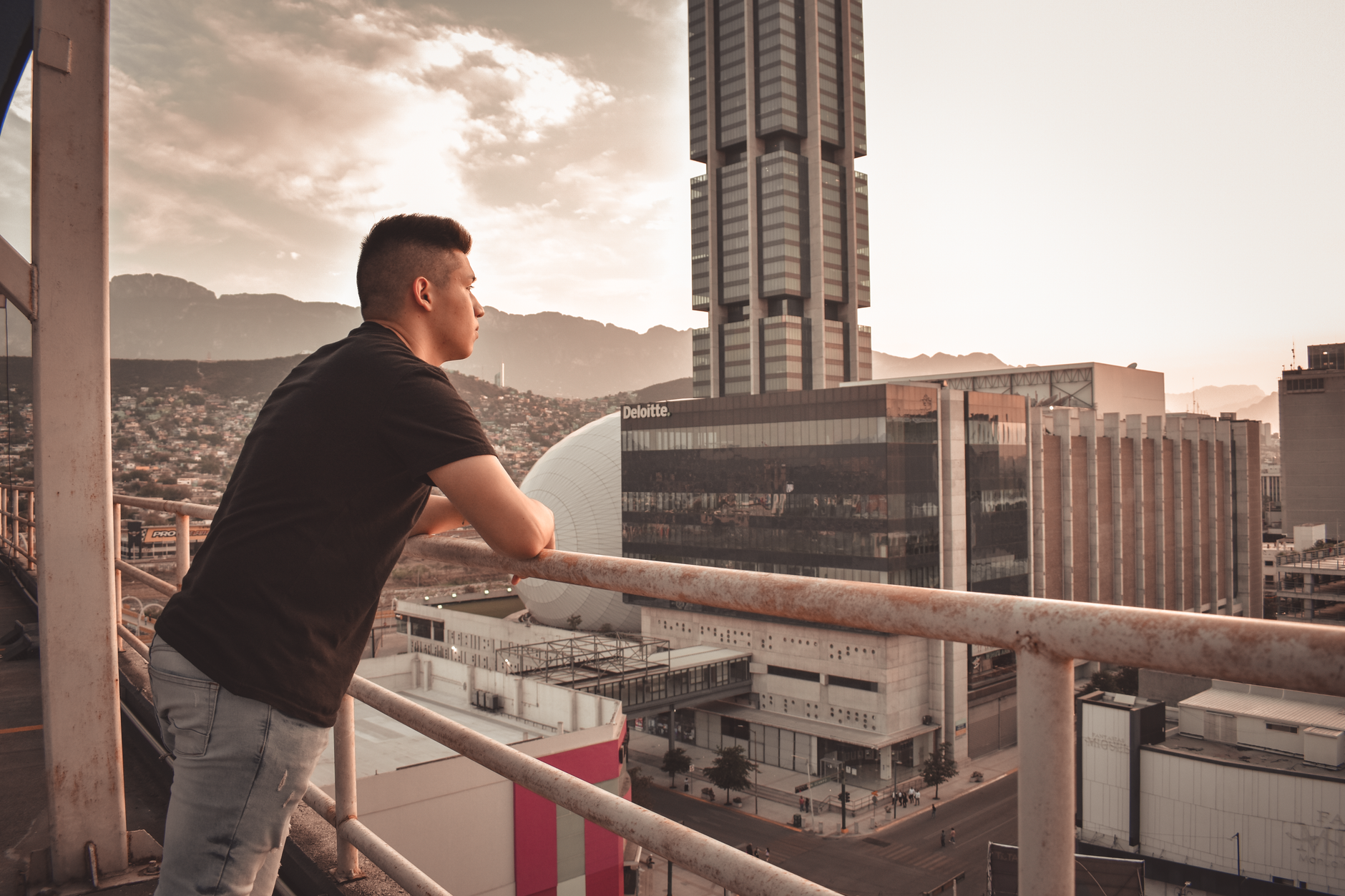
Monterrey announces itself through geology before anything else: the Cerro de la Silla — Saddle Hill — sits on the horizon like a punctuation mark, and the city has used it as its symbol for centuries. This is northern Mexico's industrial capital, a place that built Latin America's first steel mill in 1900 and never quite lost the energy that came with it.
The Macroplaza, one of the largest urban plazas on earth at 400,000 square metres, gives you the civic scale of the place in a single walk. From there, the Paseo Santa Lucía riverwalk threads south to the old Fundidora steelworks, now a cultural park — a tidy line connecting Monterrey's colonial past to its industrial one.
How Monterrey came to be
Diego de Montemayor founded the city on September 20, 1596, naming it after Gaspar de Zúñiga, the Count of Monterrey and viceroy of New Spain. The original settlement beside the springs of Santa Lucía didn't last long — heavy rains in 1612 destroyed it, and the city reorganised southward around what is now Plaza Zaragoza.
For most of its first three centuries Monterrey remained a regional outpost, but the arrival of the railroad in the late 19th century changed the equation entirely. The Fundidora de Fierro y Acero opened in 1900 and grew into one of the world's largest steel producers. That industrial momentum shaped the city's character — and its universities, including the Monterrey Institute of Technology, founded by industrialist Eugenio Garza Sada in the 20th century.
Who and what shaped it
People who shaped it
Landmark buildings
See Monterrey in motion
Plan your visit
On the map
When to go
Winters are mild and dry, with daytime temperatures around 13–16°C — the most comfortable season to be on foot. Summers run genuinely hot: June through August regularly exceeds 30°C, and spring (April–June) can spike as high as 43°C. September is the wettest month, and hurricane season brushes the region from August through October.
Right now
Background & history adapted from Wikipedia (CC BY-SA) · specs from Wikidata (CC0) · weather from Open-Meteo · map data © OpenStreetMap contributors · photos from Wikimedia Commons / Unsplash with per-image credit. No third-party reviews or social posts reproduced.