
Mondulkiri Province
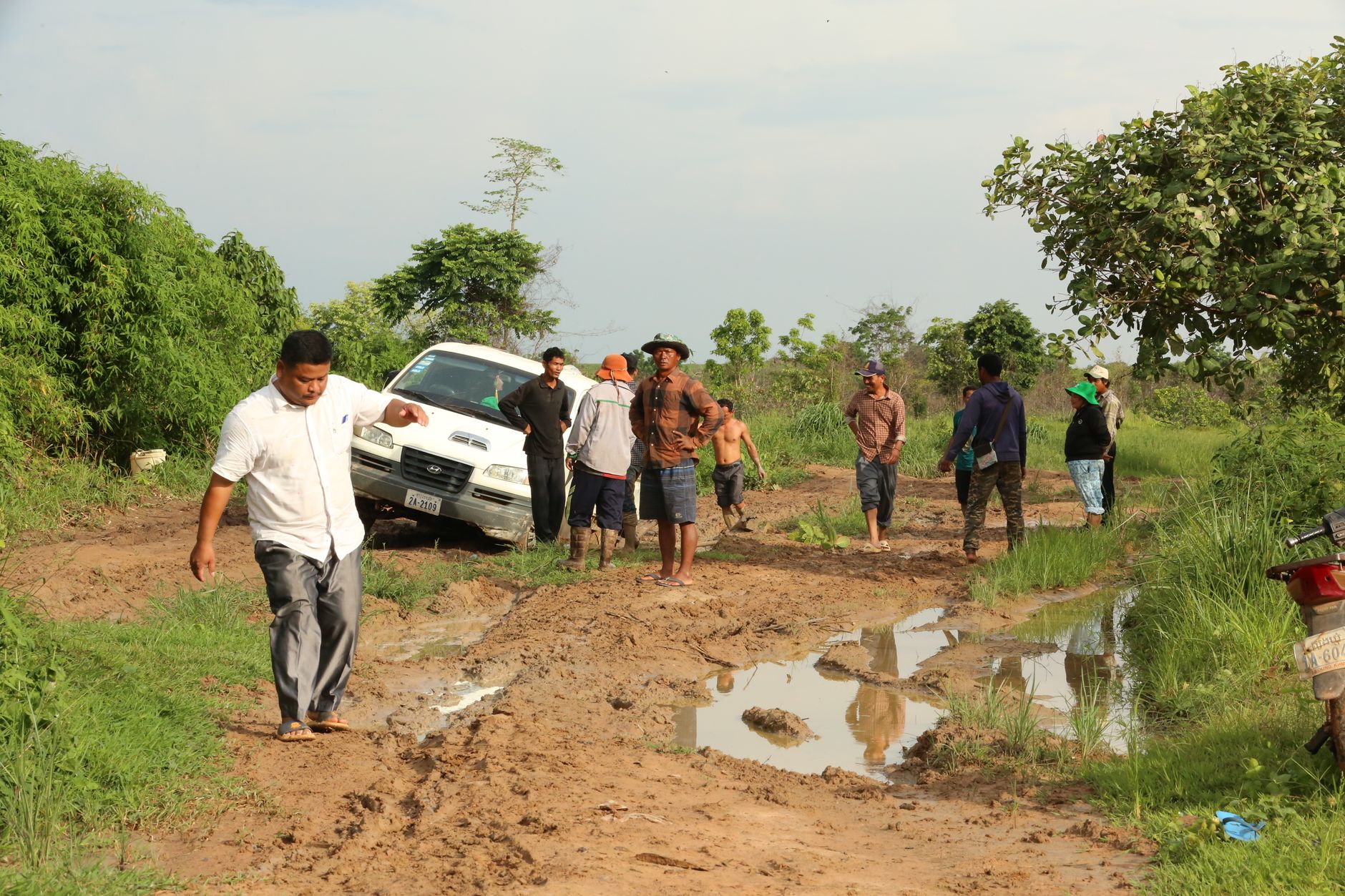
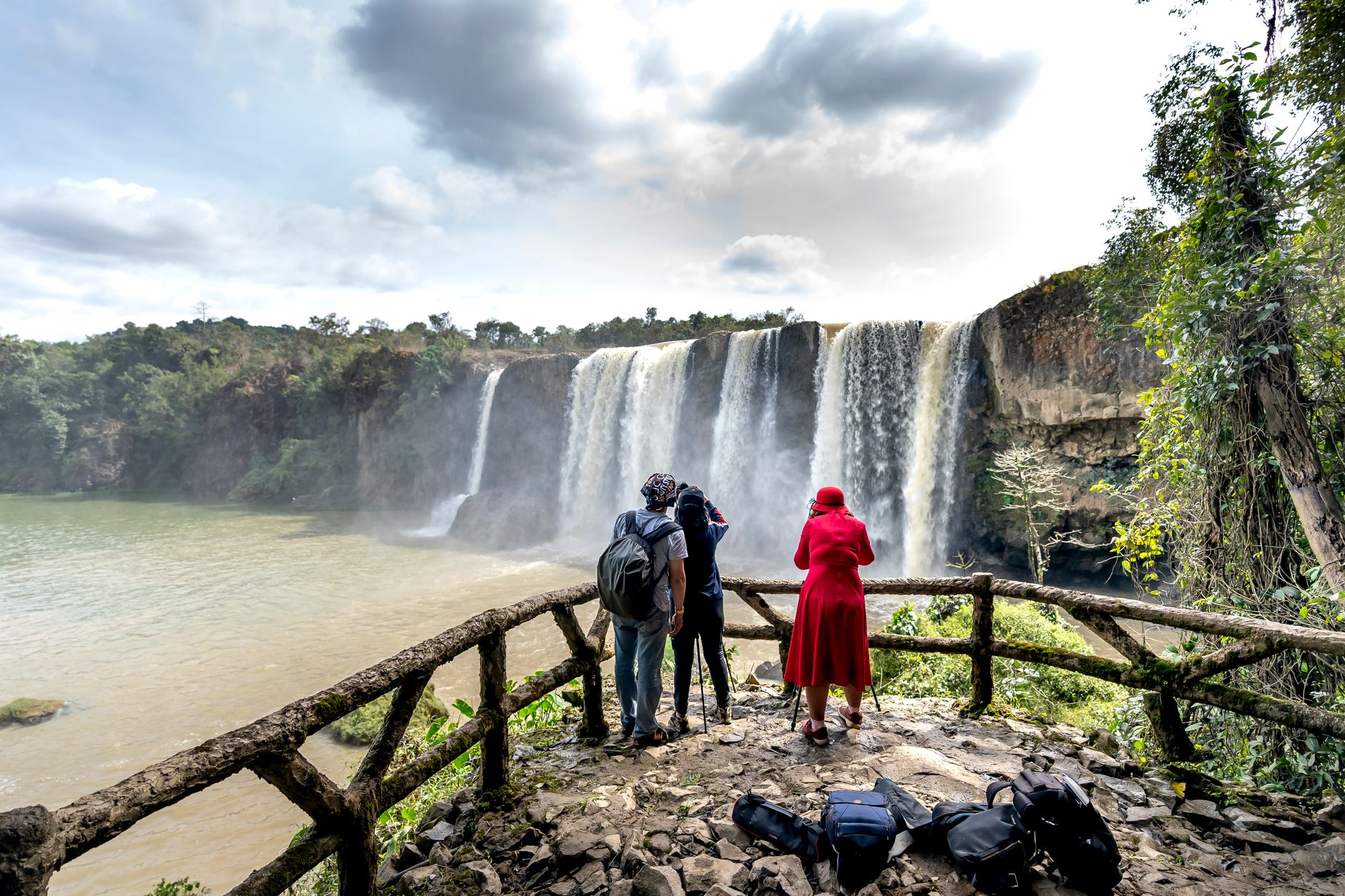
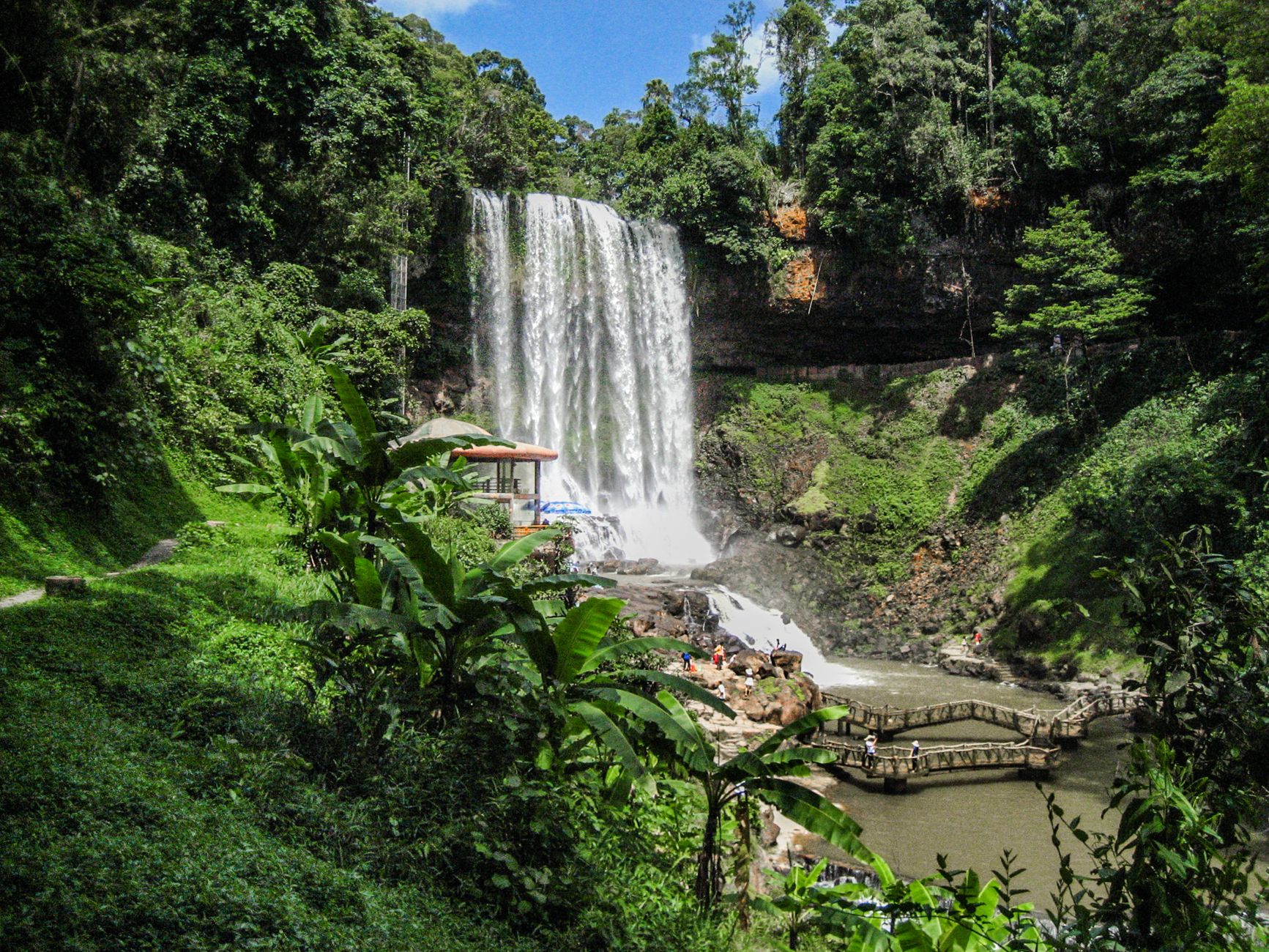
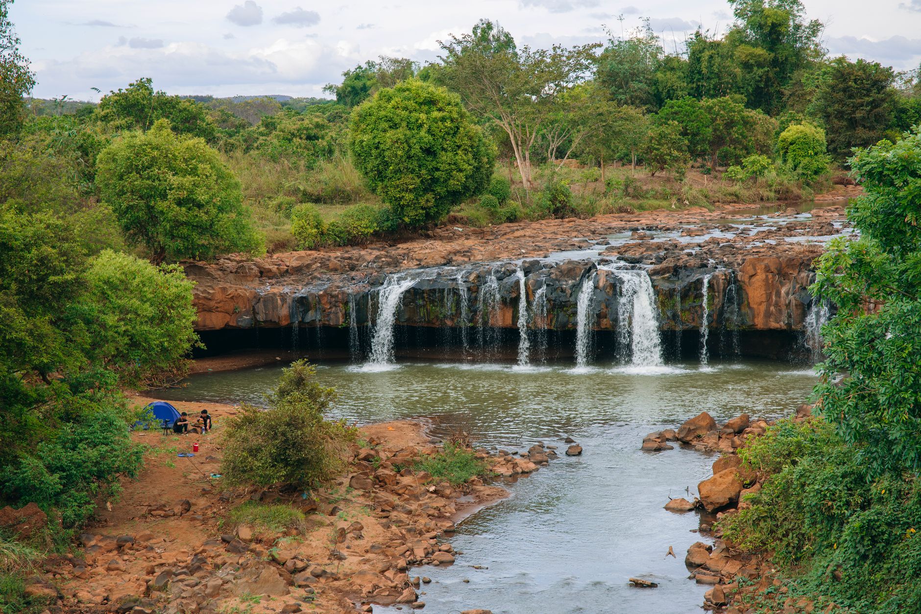
Mondulkiri is the kind of place that makes you recalibrate your sense of Cambodia. At 733 metres above sea level, the air is cooler than anywhere else in the country, and the landscape — rolling hills, pine plantations whose fallen needles turn the ground a burnished gold, rivers cutting through forest toward tiered waterfalls — looks nothing like the flat rice plains to the west. Sen Monorom, the provincial capital, has around 7,500 people, a handful of guesthouses and restaurants, and no post office.
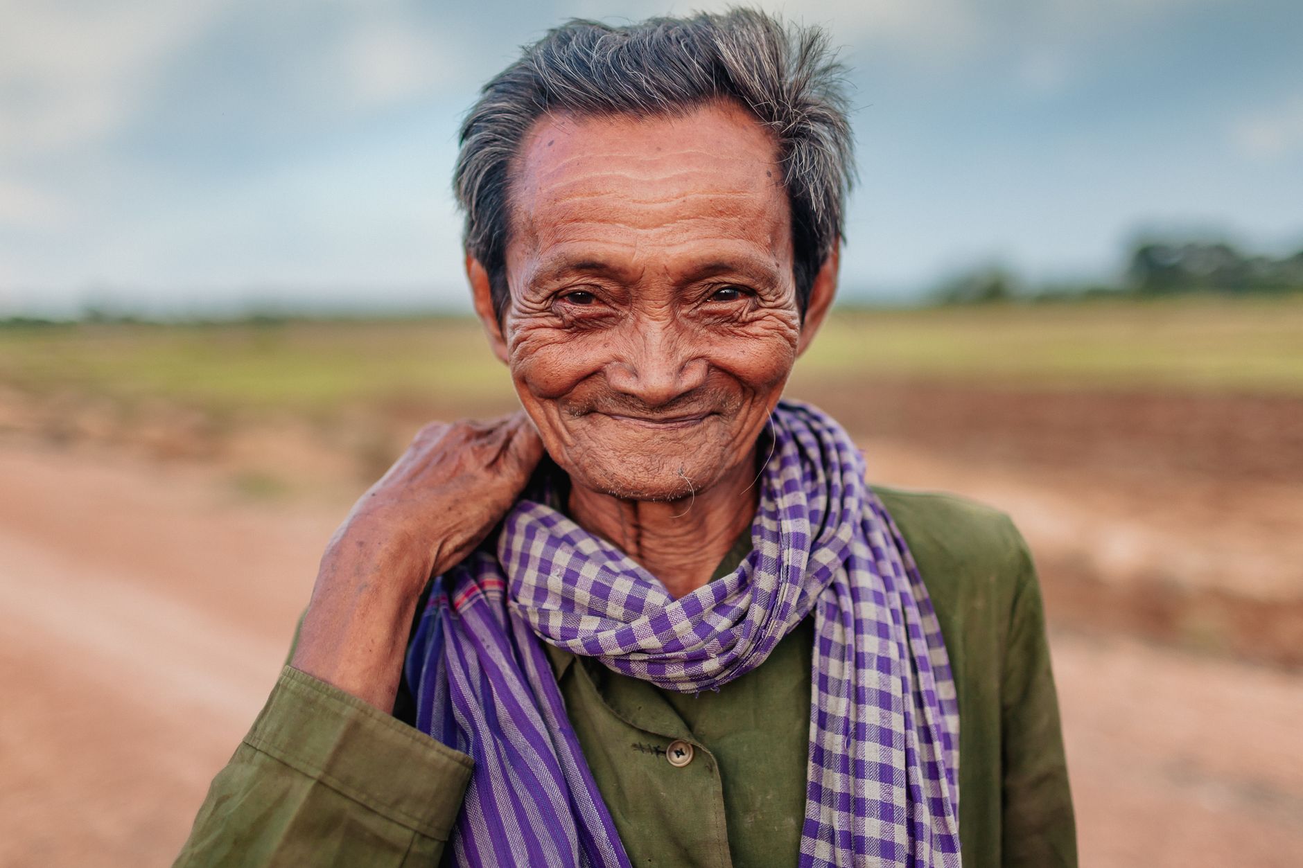
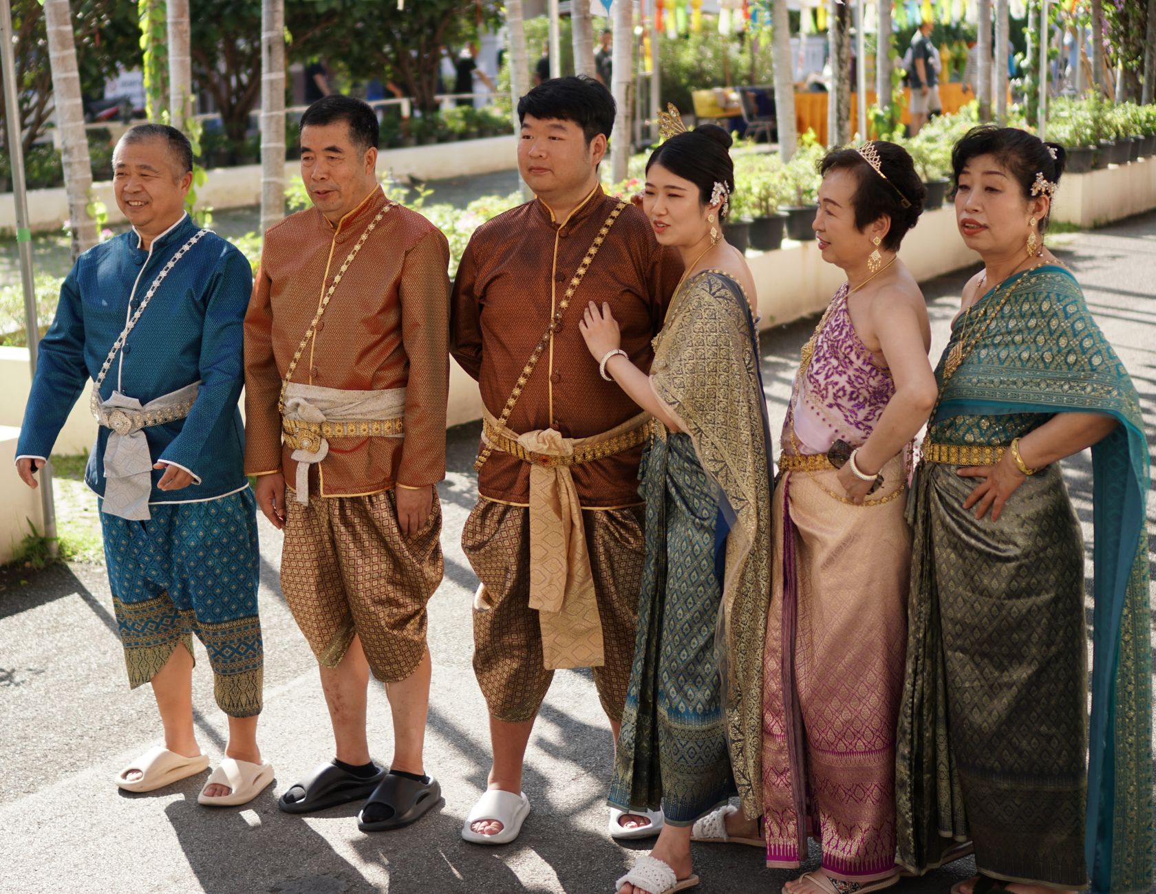
Roughly 80 percent of Mondulkiri's population belongs to one of ten tribal minorities, the majority being the Bunong, who have lived in these highlands for some two thousand years. That demographic reality shapes everything — the food, the language, the pace, the relationship between the land and the people on it.
How Mondulkiri Province came to be
Mondulkiri Province was created by royal decree in 1960 under King Norodom Sihanouk, carved out of the eastern portion of Kratié Province, with Senmonorom established as its capital in 1962. The Bunong people had been working this land for roughly two millennia before the province had a name on any map, largely undocumented until France formalized its colonial hold on Cambodia in 1864.
The 1970s brought violent disruption. The Bunong were displaced from their ancestral territory during that decade and only permitted to return in the 1980s. Before that, in the late 1960s, the province had served as the location of three National Liberation Front bases during the Vietnam War, drawing US incursions and bombing raids that left marks on the land and its people.
Who and what shaped it
Landmark buildings
See Mondulkiri Province in motion
Plan your visit
On the map
When to go
Mondulkiri's elevation keeps temperatures noticeably lower than the rest of Cambodia — January nights can turn genuinely cold, and a long-sleeved layer and socks are not optional after dark. The rainy season runs May through October, with September the wettest month by far; storms tend to be heavy but short, rarely lasting all day.
Right now
Background & history adapted from Wikipedia (CC BY-SA) · specs from Wikidata (CC0) · weather from Open-Meteo · map data © OpenStreetMap contributors · photos from Wikimedia Commons / Unsplash with per-image credit. No third-party reviews or social posts reproduced.