
Mombacho Volcano
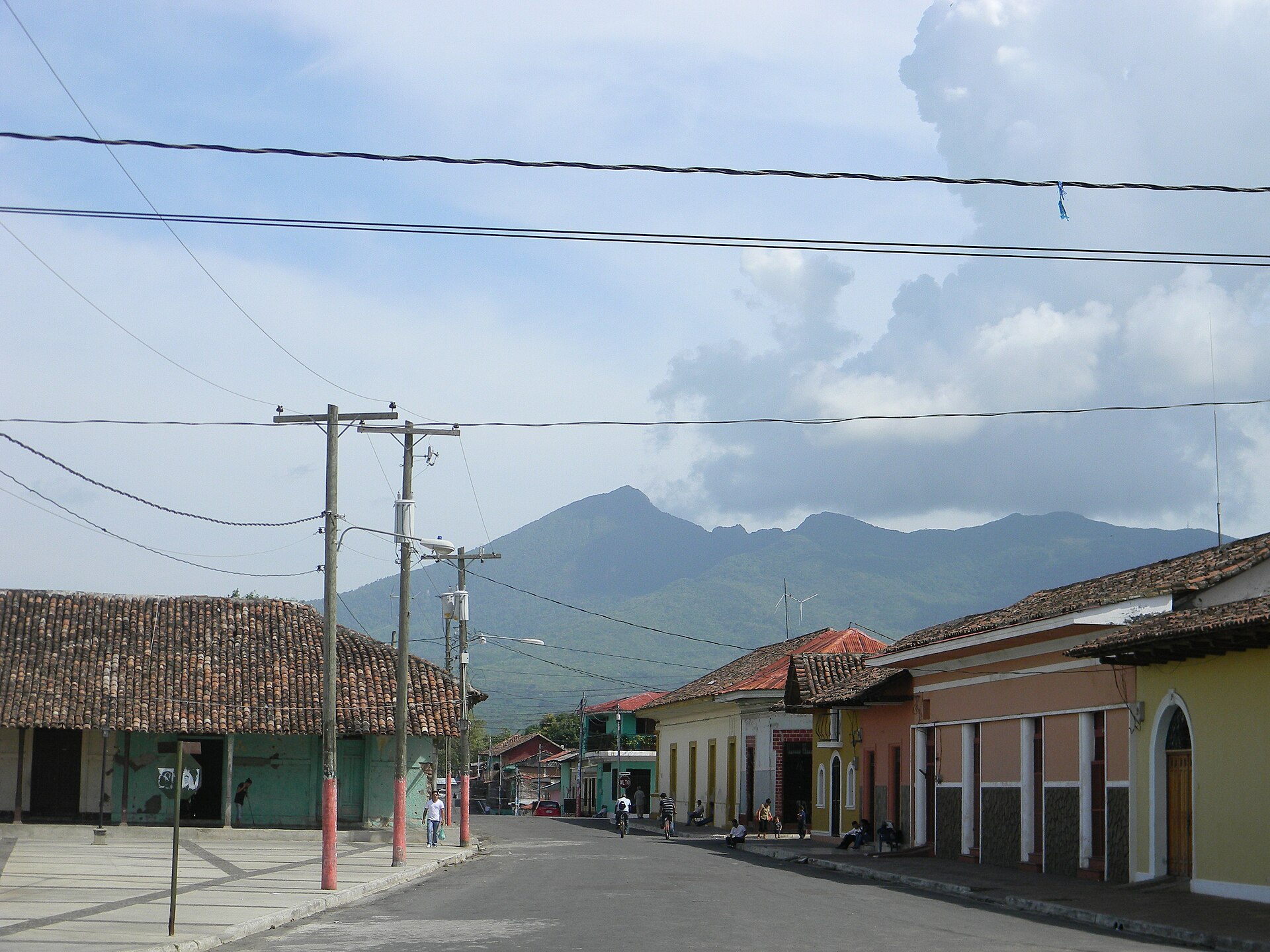
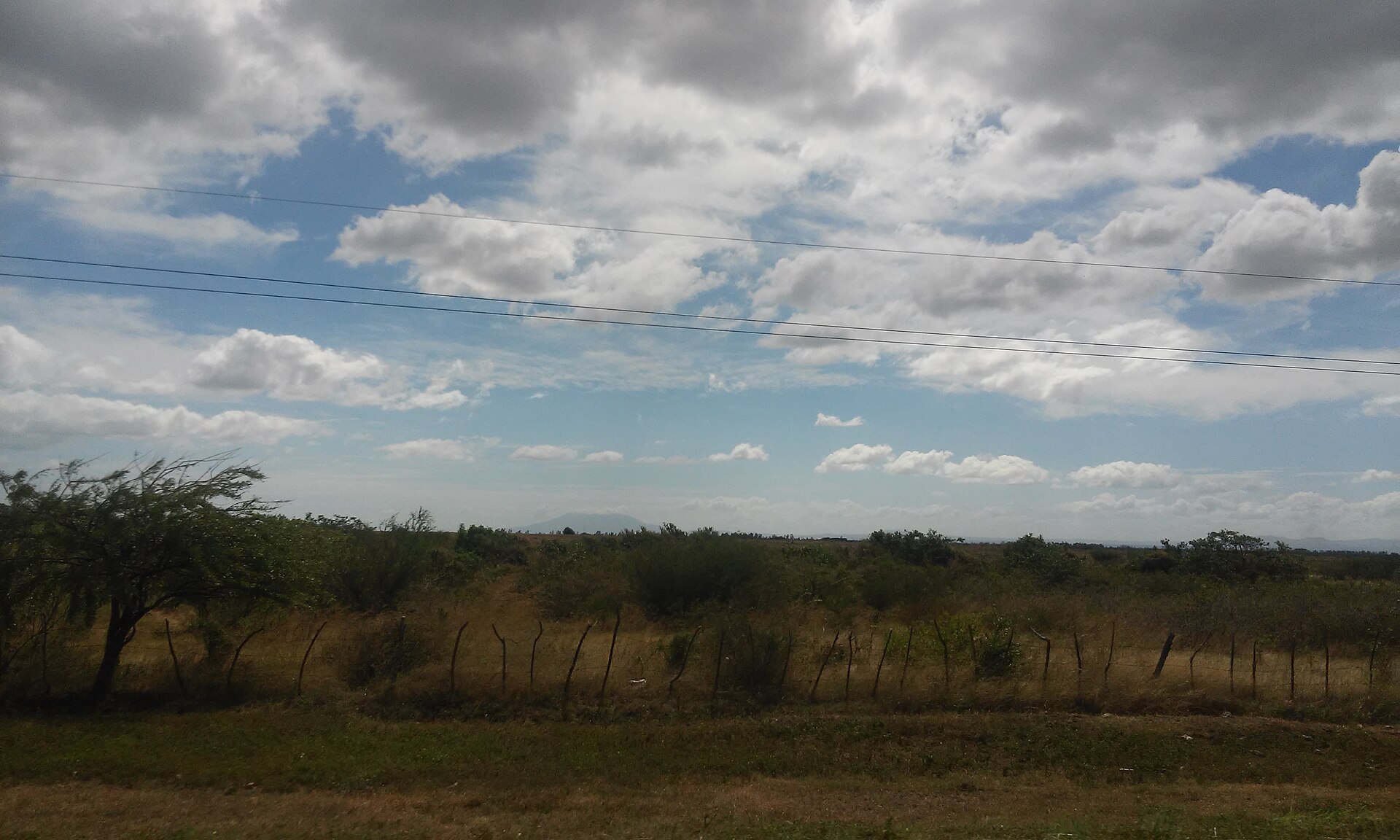
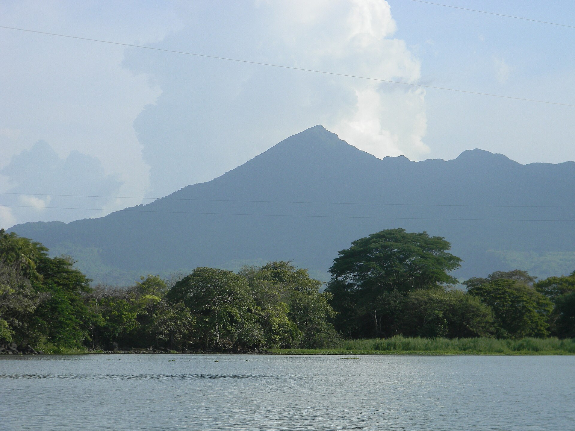
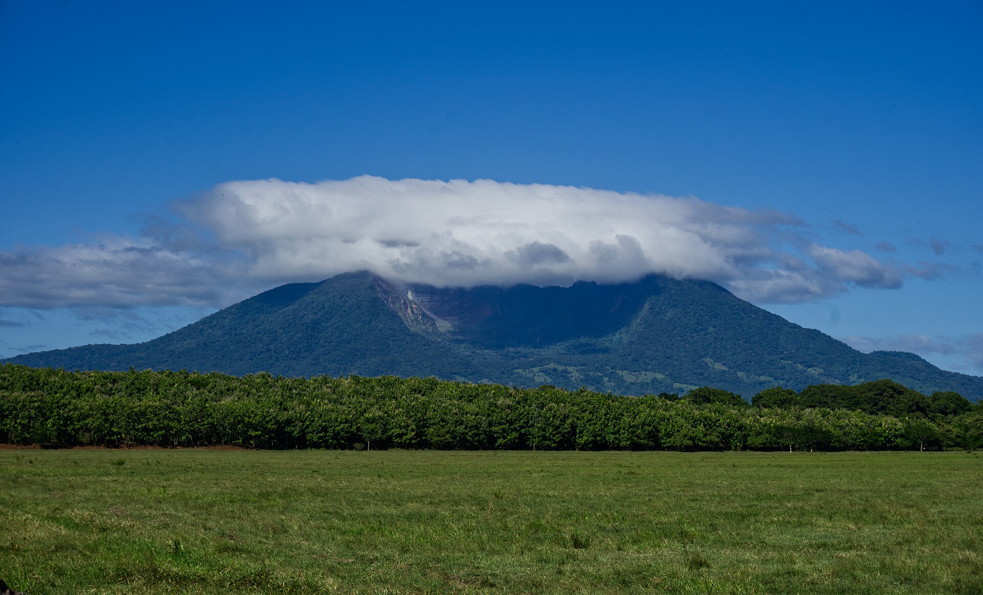
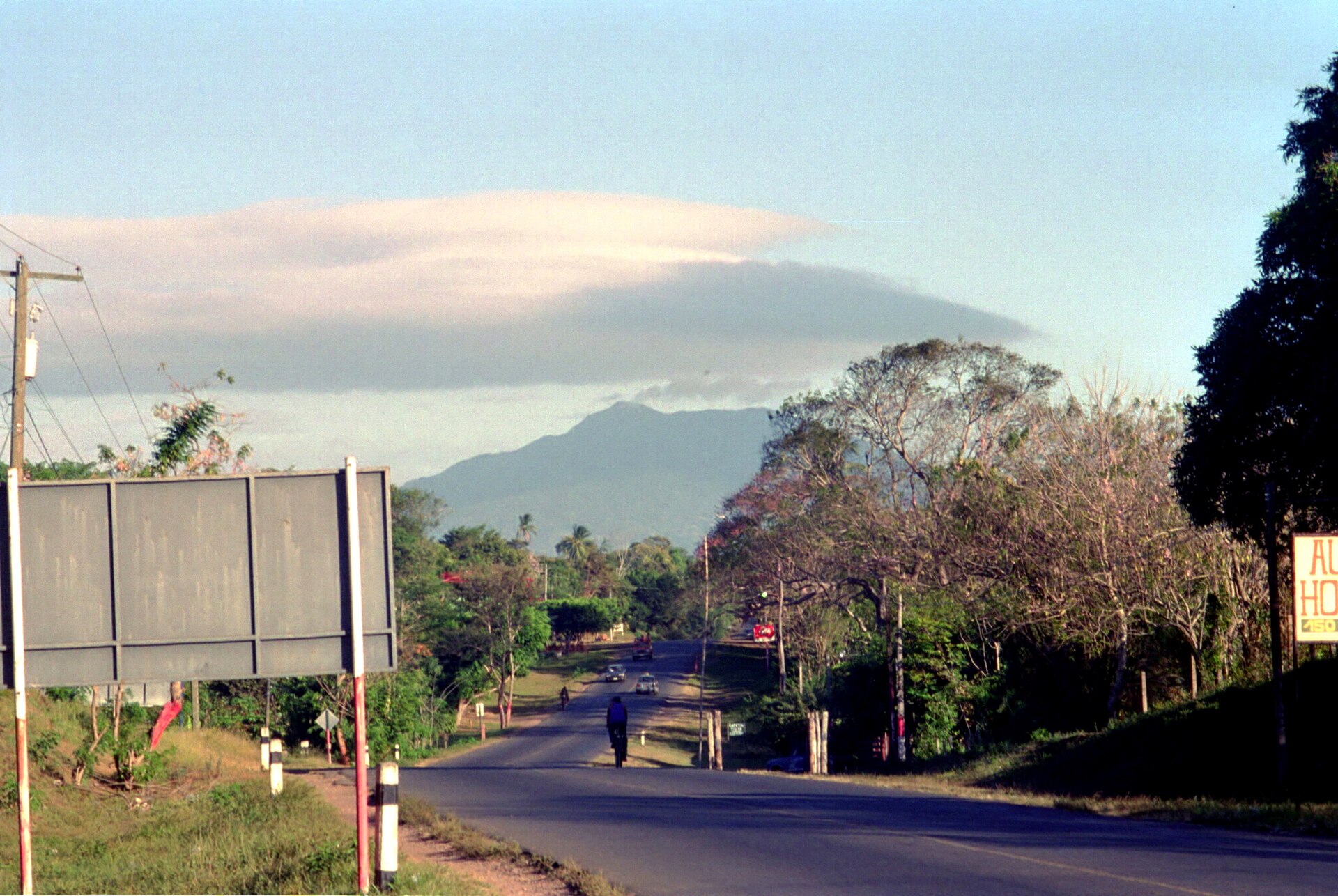
About ten kilometres south of Granada, Mombacho rises to 1,344 metres and keeps its summit almost permanently wrapped in cloud. The forest up there — short, wind-bent trees with thick trunks, dripping with moss and orchids — belongs to a different world from the hot lakeside streets below. There are 87 species of orchid on this single volcano, two animals found nowhere else on earth (a salamander and a butterfly that share the mountain's name), and fumaroles near the crater that occasionally reach 398°C.
The islands you pass on Lake Nicaragua heading south from Granada — Las Isletas, that loose scatter of some 365 small landmasses — are Mombacho's doing. A debris avalanche around 23,000 years ago sent the old volcano's flank into the lake and left that archipelago behind.
How Mombacho Volcano came to be
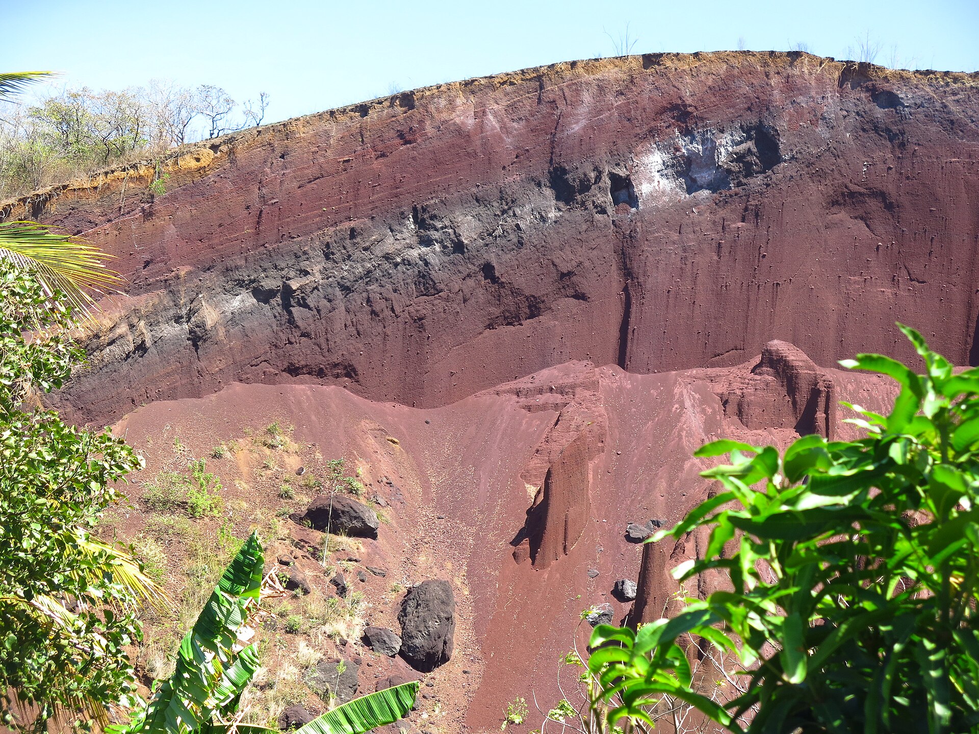
Mombacho's current shape is the result of two major explosive eruptions roughly 23,000 years ago that collapsed the original shield volcano and sent debris cascading into Lake Nicaragua, forming what is now Las Isletas archipelago. The volcano has been quiet in human memory, with one significant exception: in 1570, a debris avalanche traveled 13 kilometres down the slopes, destroyed a village, and killed around 400 people.
The Mombacho Volcano Nature Reserve was established in 1993. Since 1999, Fundación Cocibolca has managed it, building the trail network and running the eco-mobile that carries visitors up the steep access road.
Who and what shaped it
Landmark buildings
See Mombacho Volcano in motion
Plan your visit
On the map
When to go
The summit runs 18–24°C year-round with nights dropping to around 12°C — pack a layer regardless of what the thermometer says in Granada below. December through April brings drier, clearer conditions; the wet season peaks September and October, when the upper slopes can receive over 2,000mm of rain annually and cloud cover is nearly constant.
Right now
Background & history adapted from Wikipedia (CC BY-SA) · specs from Wikidata (CC0) · weather from Open-Meteo · map data © OpenStreetMap contributors · photos from Wikimedia Commons / Unsplash with per-image credit. No third-party reviews or social posts reproduced.