
Mljet Island
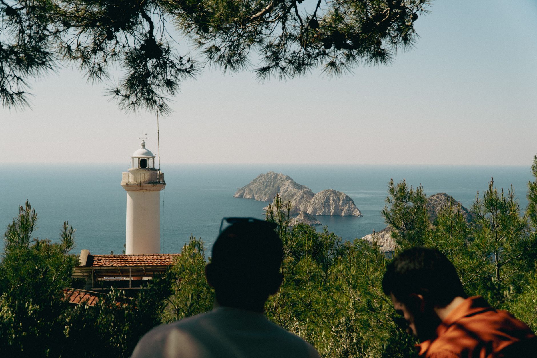
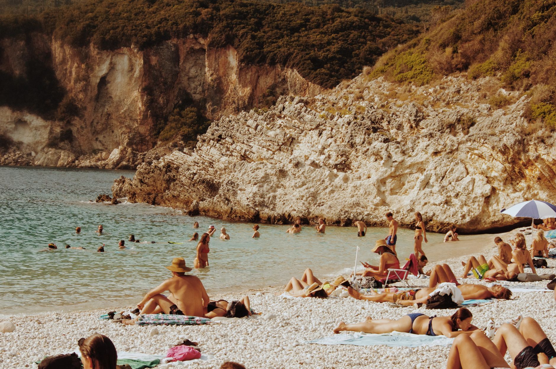
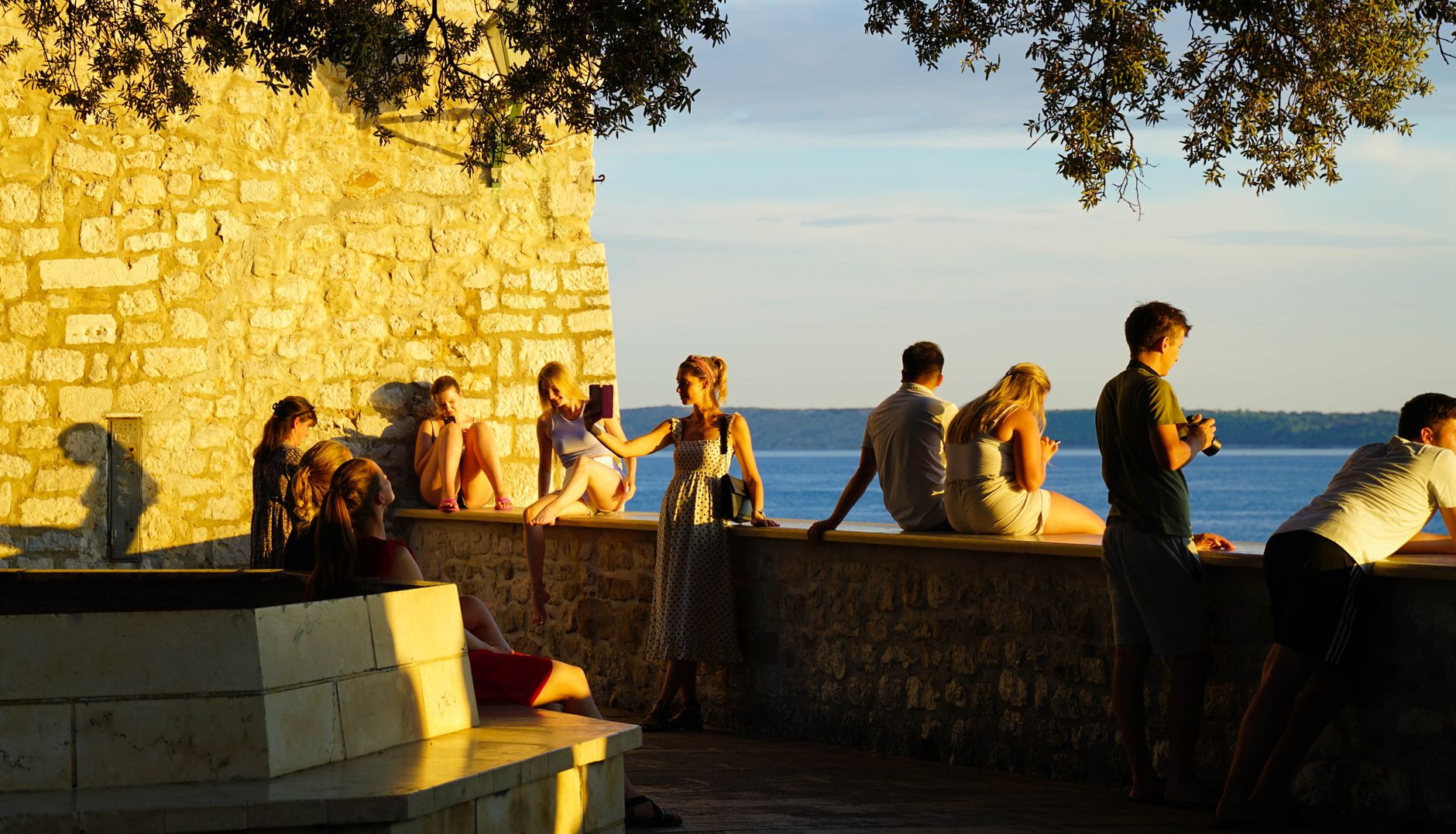
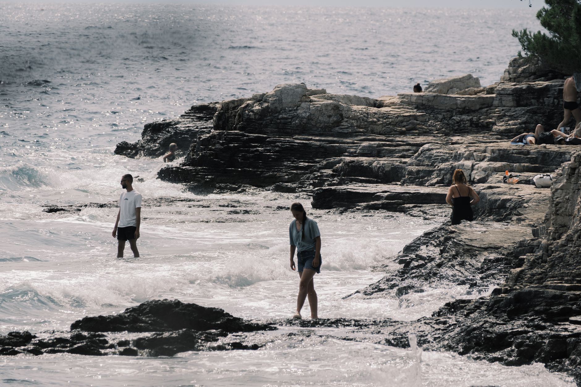
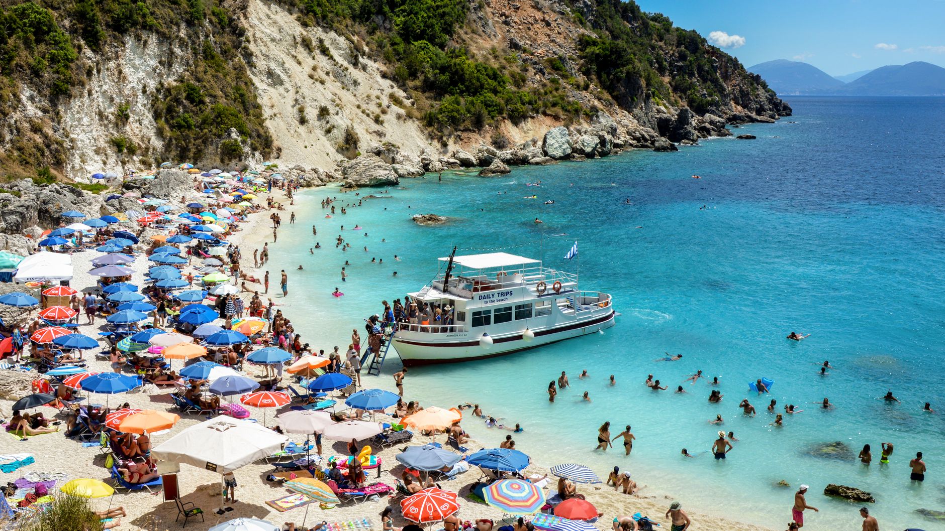
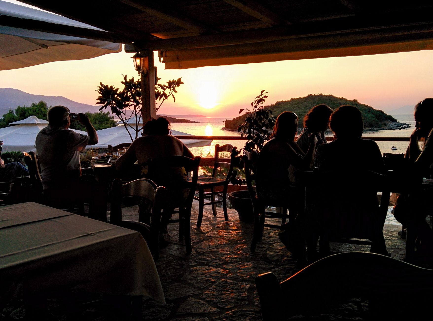
More than eighty percent of Mljet is forest — Aleppo pine running from the seafloor to the ridgeline — which means the island reads less like a Croatian beach destination and more like somewhere the sea has quietly reclaimed. The western third is a national park, and at its centre sit two saltwater lakes connected to the Adriatic by a narrow channel, their surface so still on calm mornings that the 12th-century monastery on the islet in the larger lake appears to float.
The island is small enough (98 square kilometres) that a single day covers the essentials, but the lack of through traffic and the density of shade make lingering feel reasonable rather than indulgent.
How Mljet Island came to be
Illyrian settlers arrived in the second millennium BC, and by the 6th century BC the island was already being recorded by Greek geographers. Rome took control in 167 BC and eventually built what remains the third-largest palace complex in the Adriatic at Polače — behind only the Arena in Pula and Diocletian's Palace in Split — along with two early Christian basilicas nearby.
The island's medieval chapter opened in 1151 when Benedictines from Apulia became its feudal lords. Between 1187 and 1198, Desa, Grand Prince of Serbia, built and donated the Church and Monastery of Saint Mary on its lake islet; Pope Innocent III consecrated it in 1198. The Republic of Ragusa absorbed most of Mljet in 1345 and held full control from 1410. Napoleon's administration disbanded the monastery in 1809; it became a hotel in 1960 — the same year the national park was established — before returning to the Diocese in 1998.
Who and what shaped it
People who shaped it
Landmark buildings
See Mljet Island in motion
Plan your visit
On the map
When to go
Summers are hot and dry: August peaks around 30°C, while May, June, September and October sit in the low-to-mid twenties — the most comfortable window for walking and swimming. Winter is mild but wet, with November the rainiest month; if you visit between November and April, contact the park in advance.
Right now
Background & history adapted from Wikipedia (CC BY-SA) · specs from Wikidata (CC0) · weather from Open-Meteo · map data © OpenStreetMap contributors · photos from Wikimedia Commons / Unsplash with per-image credit. No third-party reviews or social posts reproduced.