
Merzouga
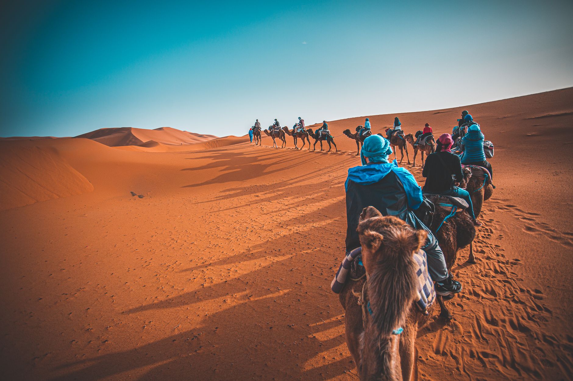
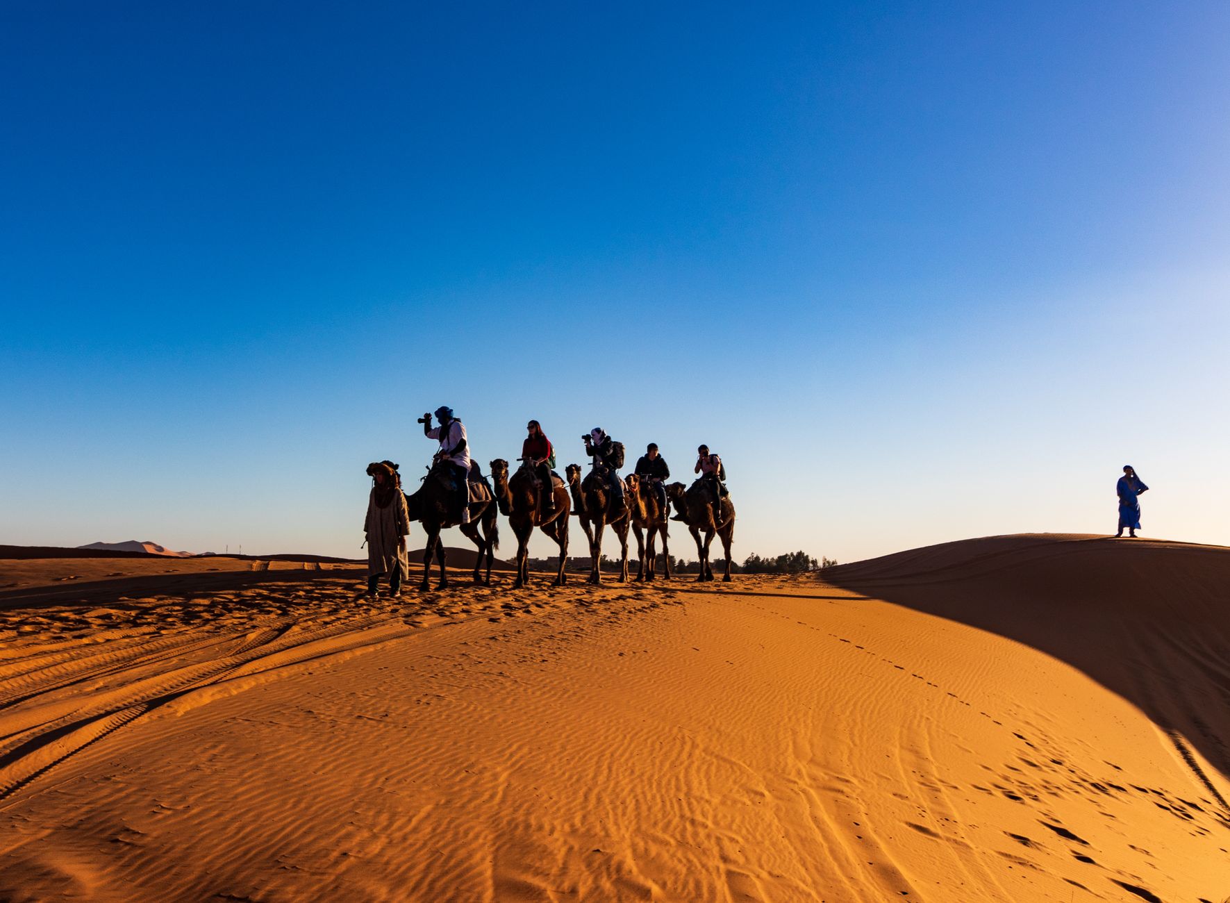
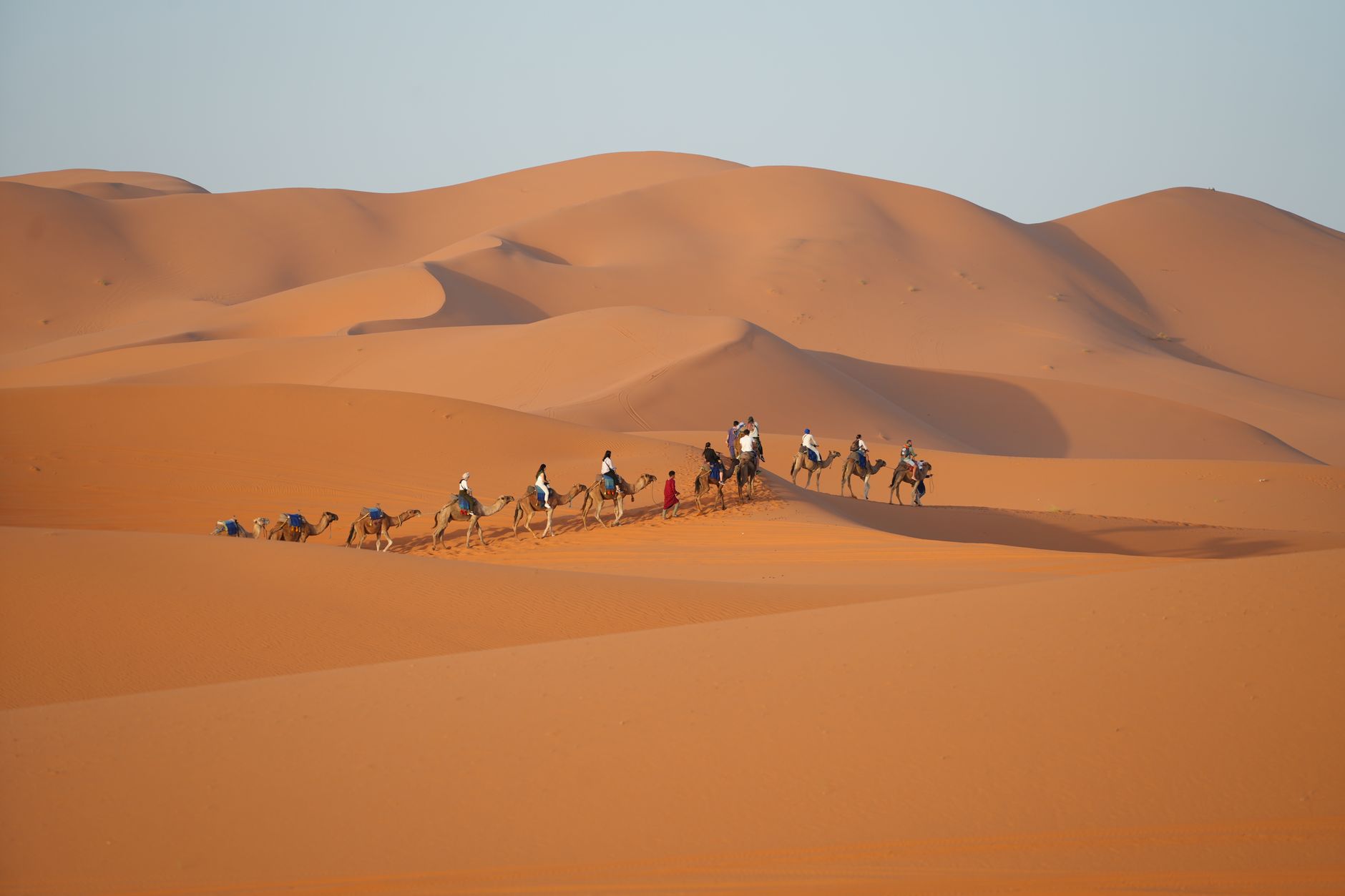
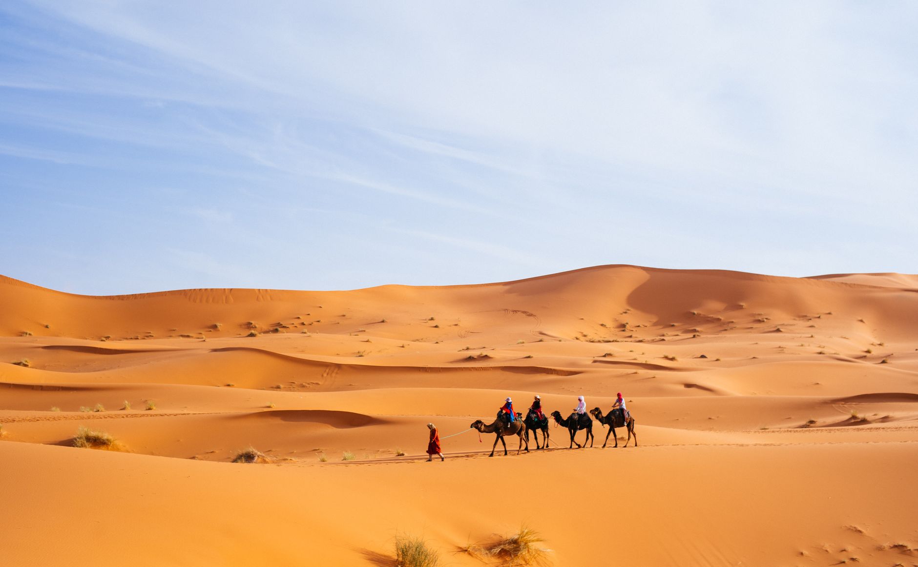
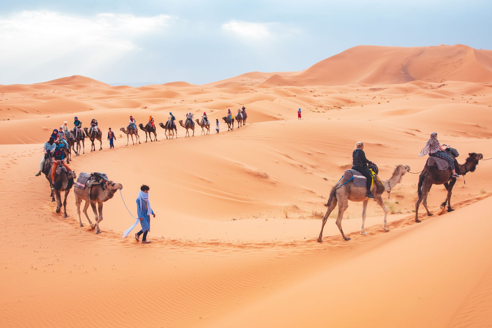
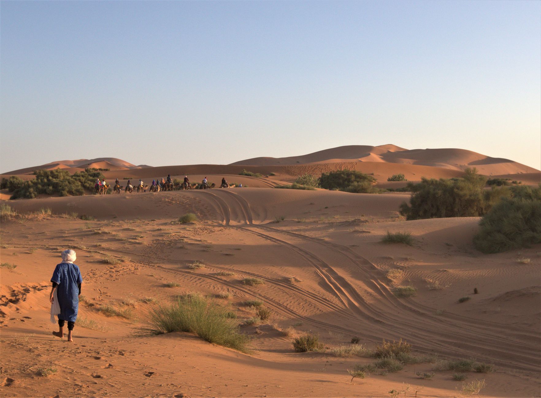
Stand at the edge of Merzouga at dusk and the dunes of Erg Chebbi turn the color of a coal ember — 22 kilometres of sand rising to 150 metres, the tallest in Morocco. The town itself is small, around 2,000 people, and life here moves at a pace calibrated to heat and sand rather than clocks.
Merzouga is less a destination than a threshold. Most people arrive to sleep in the desert, wake before sunrise, and ride a camel into the quiet before the wind picks up. The village holds its own, though: a café where locals greet each other by name, a sand-dusted main street, and Berber flatbread — madfouna — buried in a fire pit and worth every minute of the hour it takes to cook.
💛 What travellers fall for
People who come back tend to go further — out to Khamlia, seven kilometres away, where the Gnawa Music Museum runs on donations and the performances are the real thing. They also mention the M'Fis kohl mines, a ghost town ten kilometres east that most first-timers miss entirely. Go in the afternoon when the light is low.
Deals in Merzouga
Book directly at the provider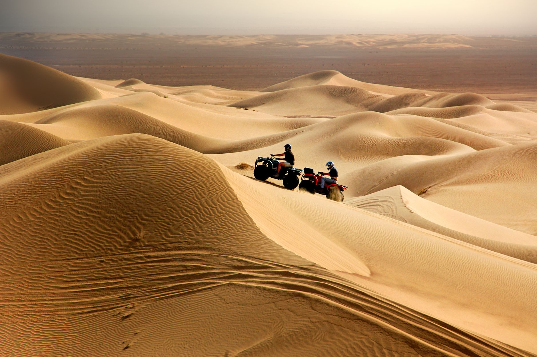

How Merzouga came to be
Ten thousand years ago, the region that is now deep Sahara was likely tropical. By the time trade routes to Timbuktu were active, Merzouga had become a transit point for merchants and a seasonal gathering place for the Ait Atta tribes, who also came for psammotherapy — sand bathing for rheumatism, a practice that continued for centuries.
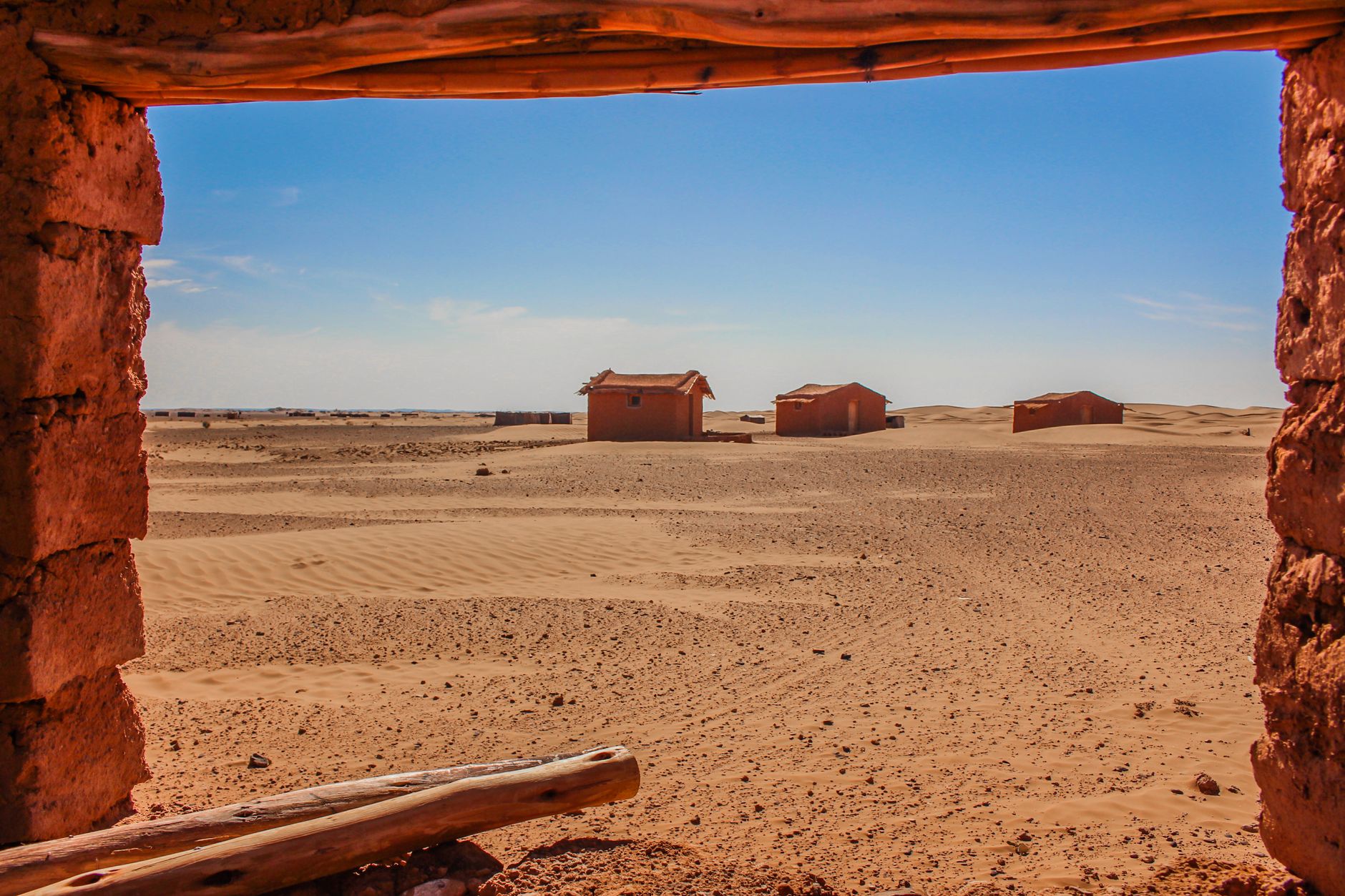
French Foreign Legion presence shaped the town's modern foundations after the Tafialet battles between 1916 and 1932. The French also worked the M'Fis kohl mines east of the village before abandoning them, leaving behind a ghost town that still stands. Tourism arrived slowly; the first accommodations appeared toward the end of the 1980s. On 26 May 2006, flash floods tore through the village, destroying buildings, cars, and the traditional irrigation network, displacing 1,200 people and killing three.
Who and what shaped it
Landmark buildings
See Merzouga in motion
Plan your visit
On the map
When to go
October to February brings the most manageable conditions — days around 19–25°C and cold nights that make a second blanket necessary. Spring, particularly March and April, carries heavy winds and frequent sandstorms; summer temperatures regularly exceed 43°C and can push past 50°C, when much of the town effectively shuts down.
Right now
Background & history adapted from Wikipedia (CC BY-SA) · specs from Wikidata (CC0) · weather from Open-Meteo · map data © OpenStreetMap contributors · photos from Wikimedia Commons / Unsplash with per-image credit. No third-party reviews or social posts reproduced.