
Mérida
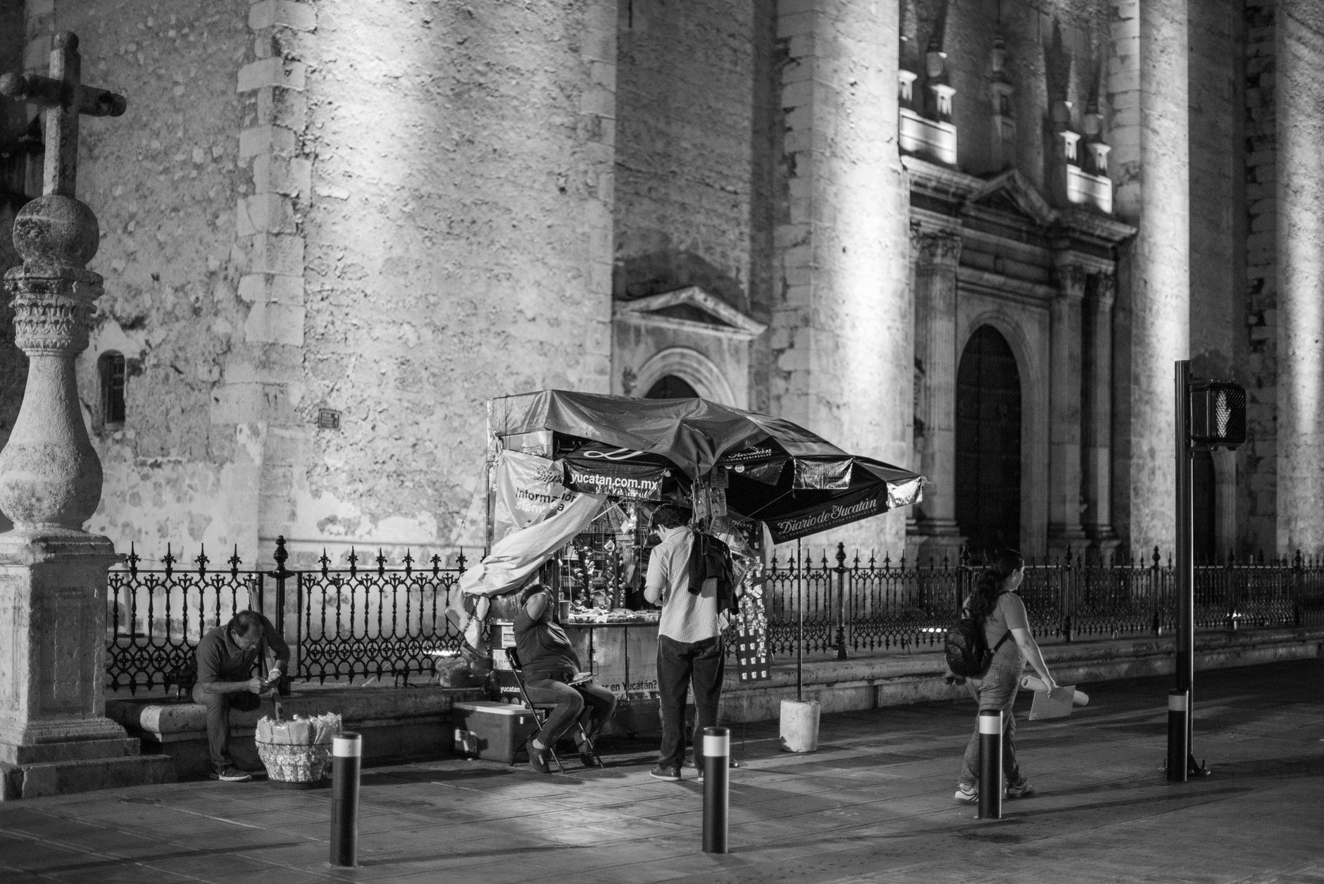
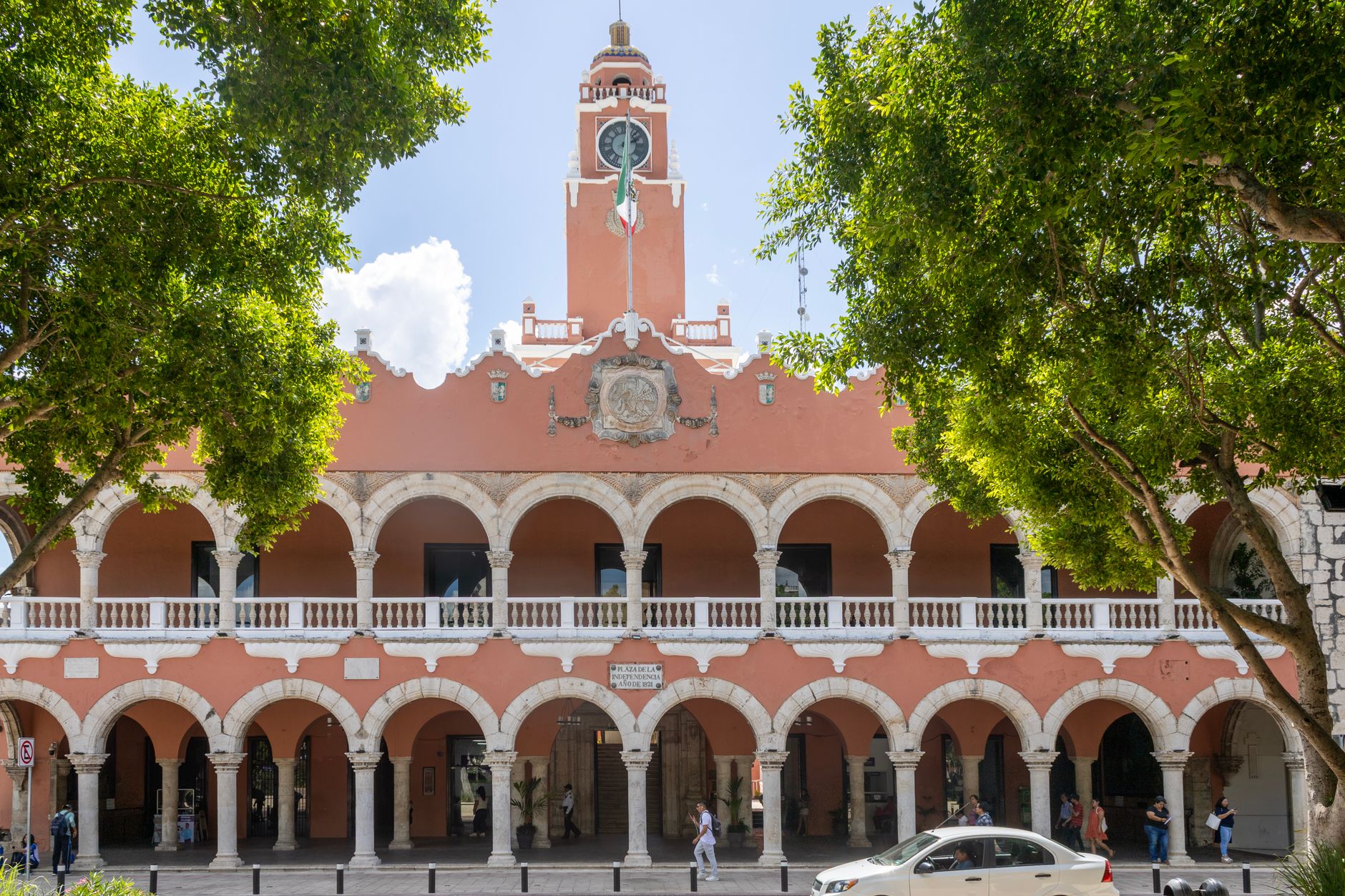
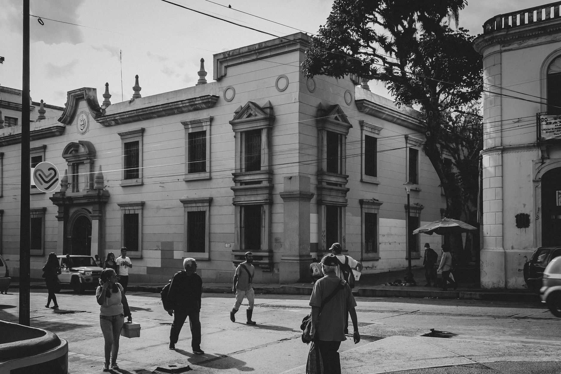
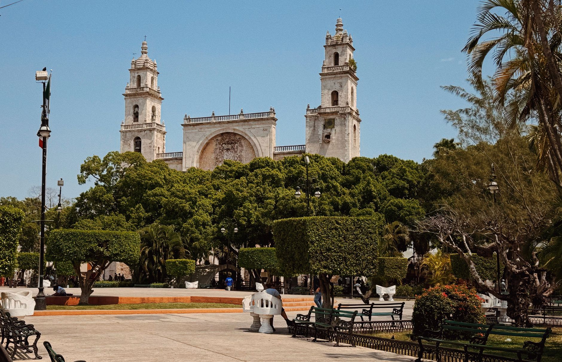
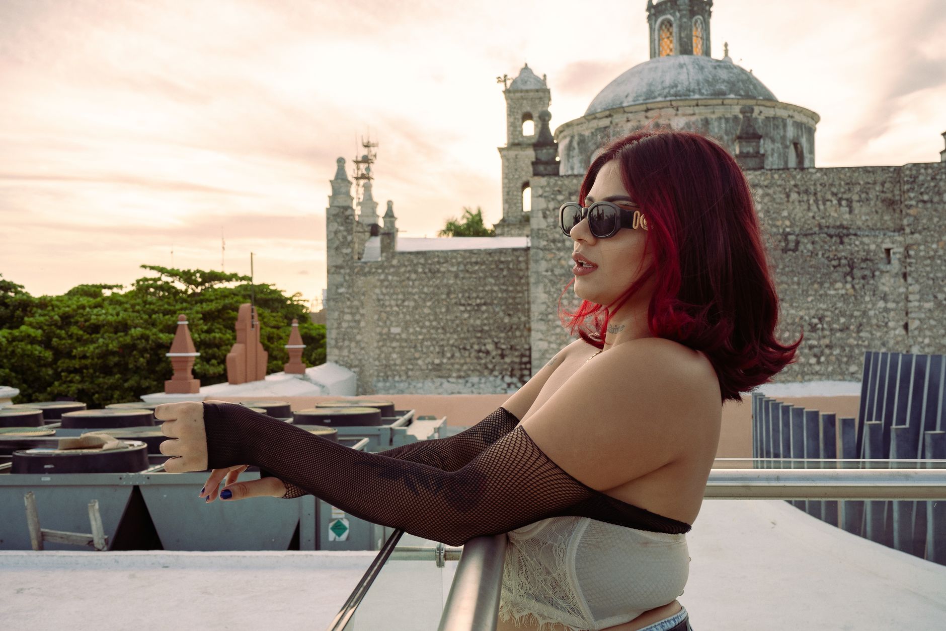
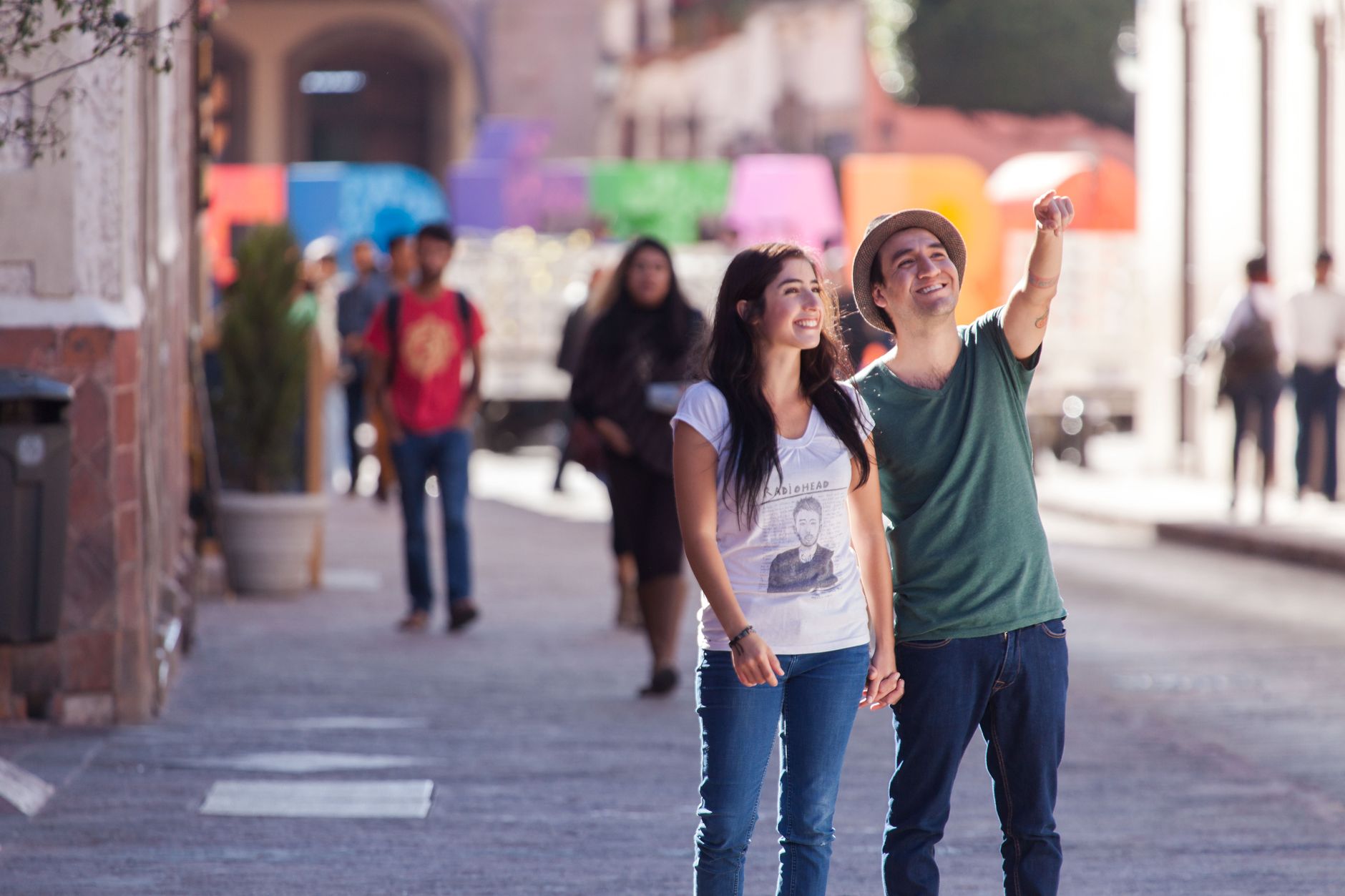
Mérida is a city built, quite literally, on top of another one. When Francisco de Montejo the Younger founded it on January 6, 1542, his workers dismantled the Maya stone structures of T'ho and used those same blocks to raise a cathedral and a colonial center that still stands today. Walk the Plaza Grande long enough and that layering starts to feel palpable — the 16th-century stones, the French-inflected mansions of the henequén boom, the electric trams sliding past baroque facades.
The Yucatán capital sits far enough from the resort coast to move at its own pace. It's a working state capital with a university presence, a serious food culture, and a centro histórico compact enough to cover on foot.
How Mérida came to be
Francisco de Montejo the Younger founded Mérida on January 6, 1542, naming it after the Spanish city of Mérida in Extremadura. The Maya city of T'ho had occupied the site before him — its lime-mortared stone buildings were dismantled and repurposed into the Catedral de San Ildefonso, built between 1561 and 1585, and the Casa de Montejo, completed in 1549.
For three centuries Mérida grew steadily, but the 19th century transformed it. Haciendas cultivating henequén — a fiber known locally as 'green gold' — made the city one of Mexico's wealthiest. The mansions along Paseo de Montejo, with their Italian and French detailing, are the physical record of that era. The henequén trade collapsed after World War II, but the architecture it funded remains.
Who and what shaped it
People who shaped it
Landmark buildings
See Mérida in motion
Plan your visit
On the map
When to go
Mérida is hot year-round, with May pushing above 40°C (104°F) — the harshest time to visit. November through February brings the most tolerable conditions, with daytime temperatures in the low-to-mid 20s°C (low 70s°F); June through October is rainy and muggy, with September the wettest month.
Right now
Background & history adapted from Wikipedia (CC BY-SA) · specs from Wikidata (CC0) · weather from Open-Meteo · map data © OpenStreetMap contributors · photos from Wikimedia Commons / Unsplash with per-image credit. No third-party reviews or social posts reproduced.